
Contents List:
- Date, Distance & Map of Route
- Tide Times & Weather
- The Pembroke Dock to Milford Haven kayak
- Logistics
- Dangers & Issues
- Kayak used
- Paddling the Cleddau River
- Summary
1. Date, Distance & Map of Route
20 June 2022. Launched 12:30. Landed 14:30
7 miles route from Hobbs Point, Pembroke Dock, up and down Westfield Pill (Neyland Marina) and then on down to Milford Haven on the River Cleddau.
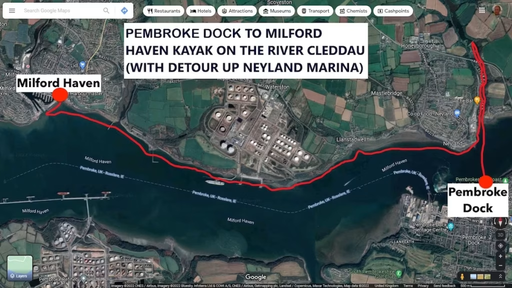
2. TIDE TIMES & WEATHER CONDITIONS
| Hi/Lo | Time | Height |
| Low | 05:44 | 1.42m |
| High | 11:46 | 5.94m |
| Low | 18:04 | 1.77m |
It was a sunny day with high of about 20 Celsius. The wind was from the South West and about 10-15 knots.
3. THE PEMBROKE DOCK TO MILFORD HAVEN KAYAK
I was going solo on this kayak and I parked up at the car park at Hobb’s Point, Pembroke Dock at about 11.45am.
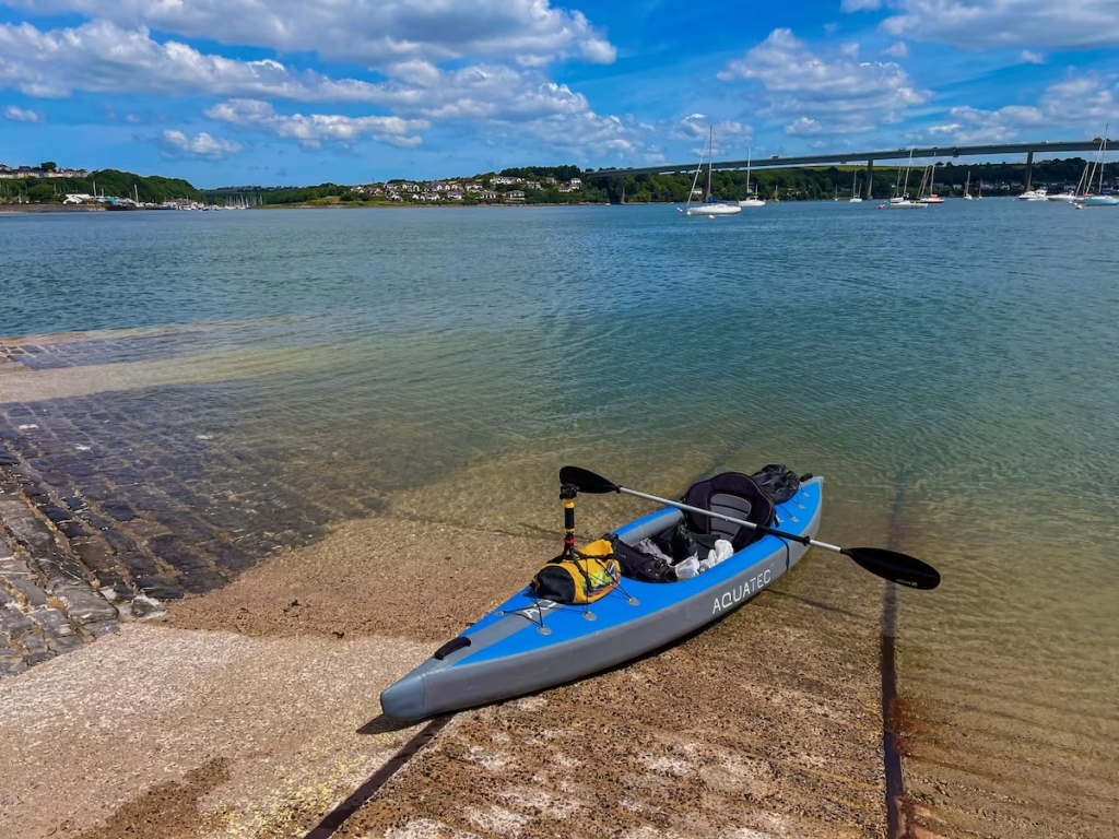
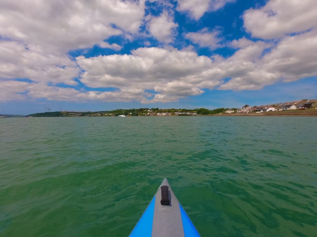
I inflated my Aquatec kayak on the wide slipway at Hobb’s point and launched onto the flat waters of the Cleddau.
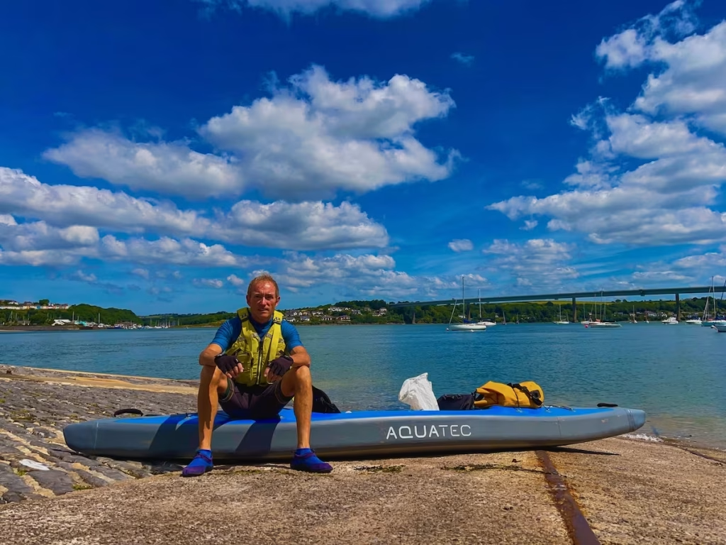
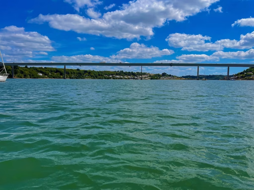
Upstream from me the the Cleddau Bridge spanned across the river, a dominant feature on this part of the river.
After paddling across to the West side of the Cleddau, I entered the inlet of Westfield Pill, much of which is occupied by Neyland Marina.
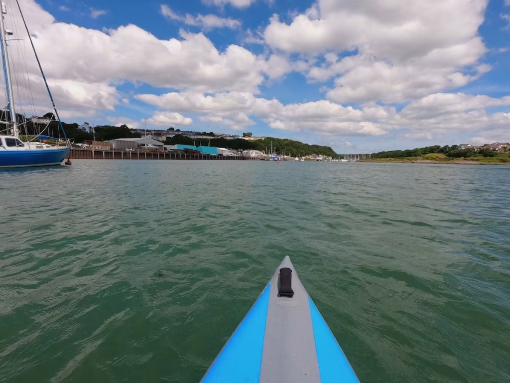
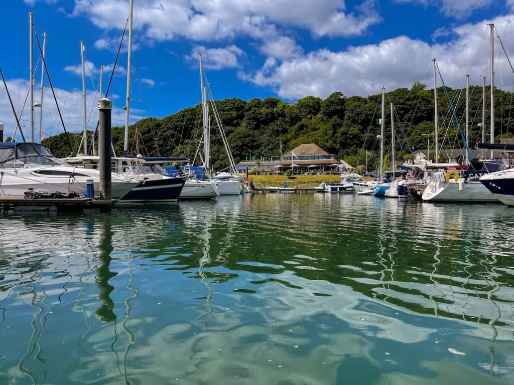
Neyland Marina spread out in front of me as I entered Westfield Pill, an armada of pleasure boats gleaming in the sun.
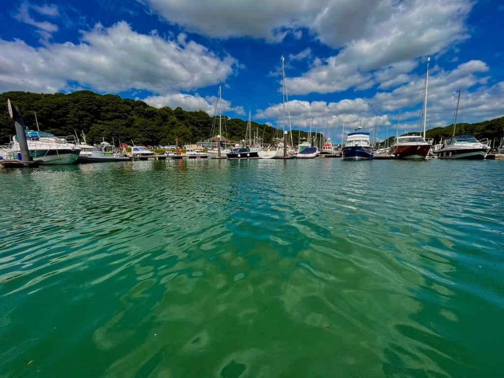
This was my first paddle passed Neyland Marina on Westfield Pill and it was turning out to be a pleasant tributary of the Cleddau River.
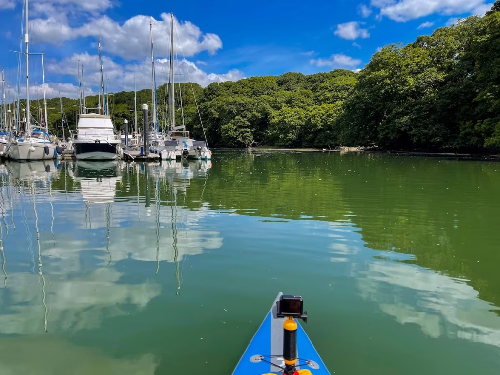
Towards the end of Neyland Marina, I approached the Western end of the Cleddau Bridge where it spans Westfield Pill.
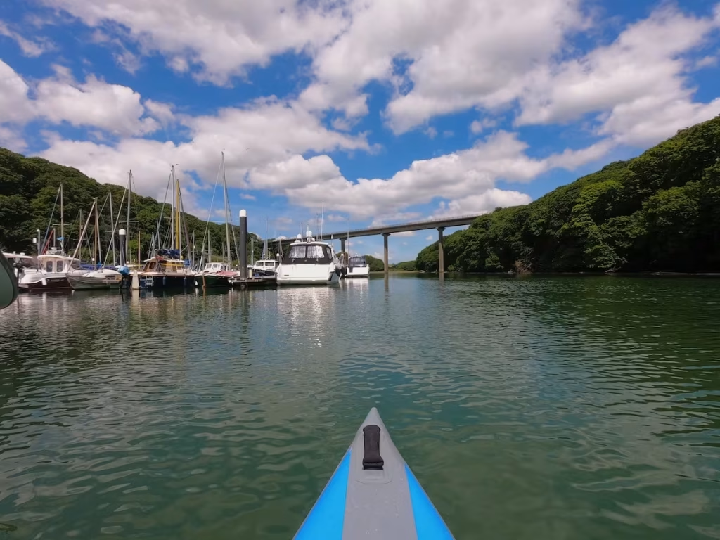
A short distance after passing under the bride, I came up to the long embankment which separates Neyland Marina from Westfield Nature Reserve on the other side.
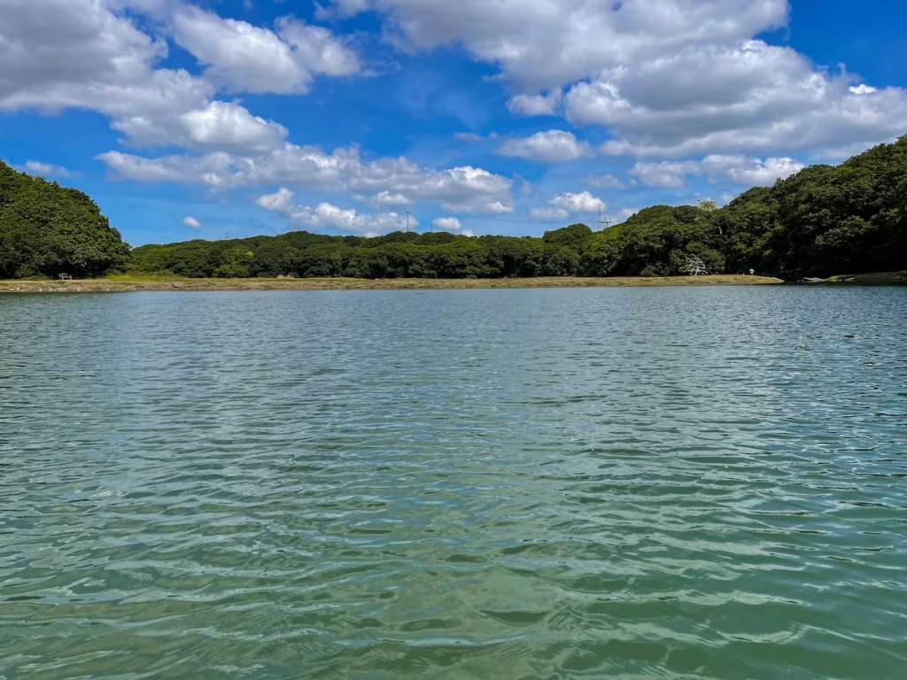
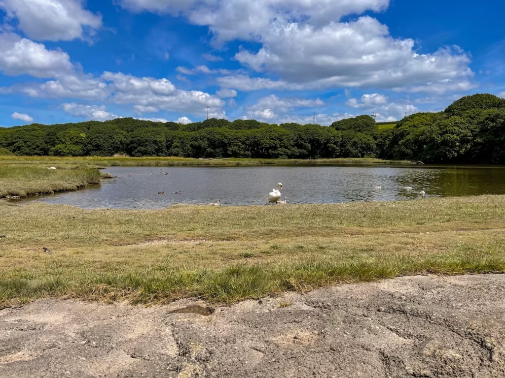
I paddled up to the embankment and got out on top to have a look at Westfield Nature Reserve. I could see that it was possible to kayak into the lagoon of the reserve through a gap in the embankment on one side of the embankment but I had not planned to do that and suspect that kayaking may not be allowed in the nature reserve anyhow.
I got back in the kayak and headed back down Westfield Pill, passing Neyland Marina again.
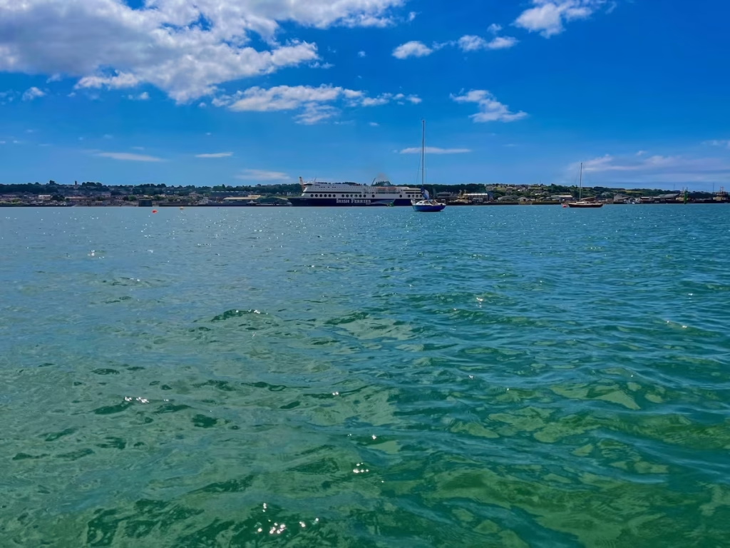
As I left Westfield Pill and re-entered the main channel of the Cleddau. I could see that the Pembroke to Rosslare ferry was docked at the ferry terminal on the other side of the river at Pembroke Dock.
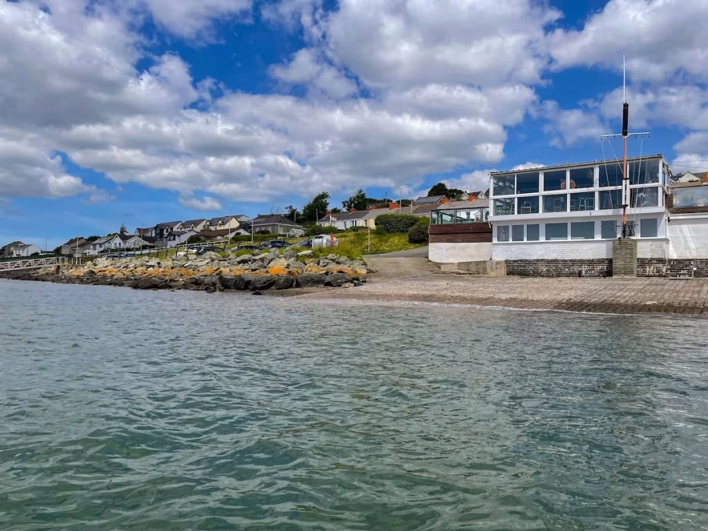
I paddled downstream past Neyland Yacht club which I discovered afterwards has it’s own restaurant and bar called the Alumchine. It looks like a nice place to have a drink or 2 and some food overlooking the expansive waters of the lower Cleddau.
I was now about 3 miles along the 7 miles route. The tide was going out and I could feel it giving assistance at times but the cross wind coming across the Cleddau was stronger than I’d expected and hampered my progress a bit.
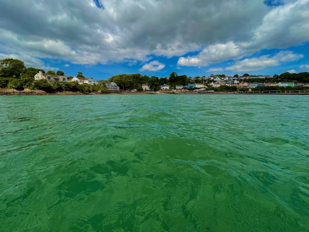
I came across the stunning St Tudwals church which has nestled alongside the rivers edge since the 6th Century. The tower was apparently an addition during the reign of King Stephen in the 1100’s.
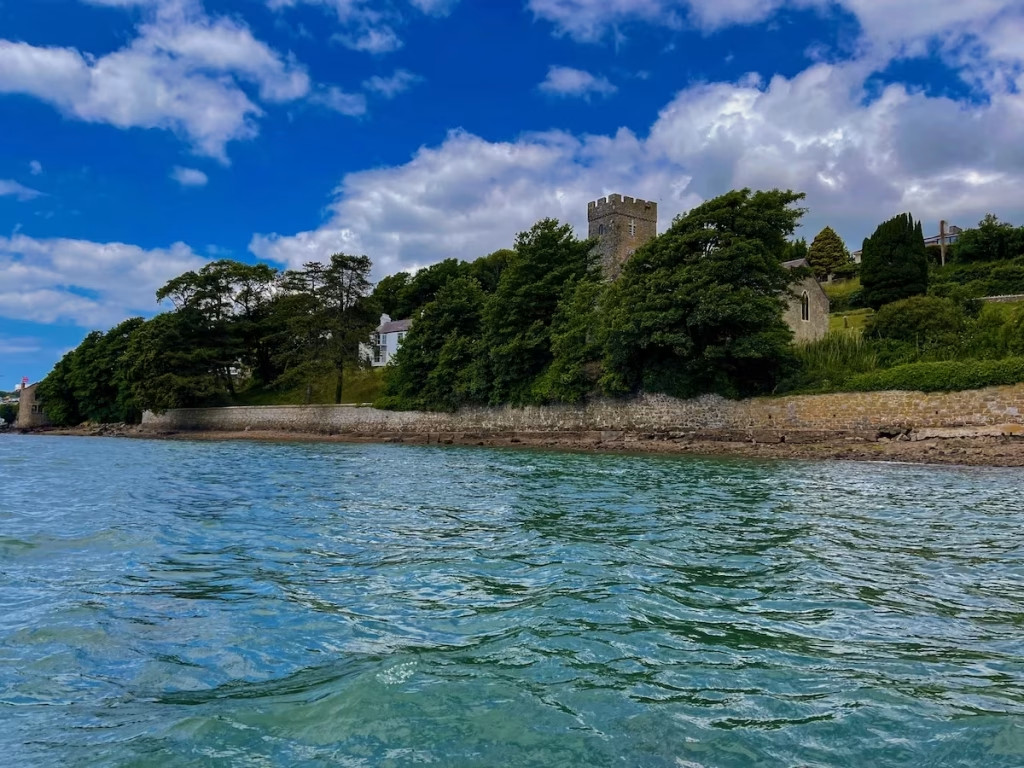
The Ferry House Inn at Hazelbeach drifted slowly past as I kayaked downstream. Yet another riverside pub on the Cleddau with a great balcony right overlooking the water. The Cleddau certainly is blessed with a multitude of great waterside pubs and restaurants.
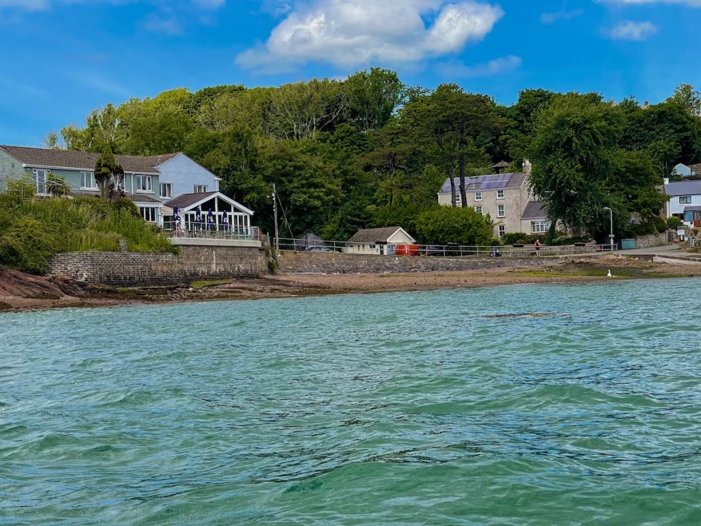
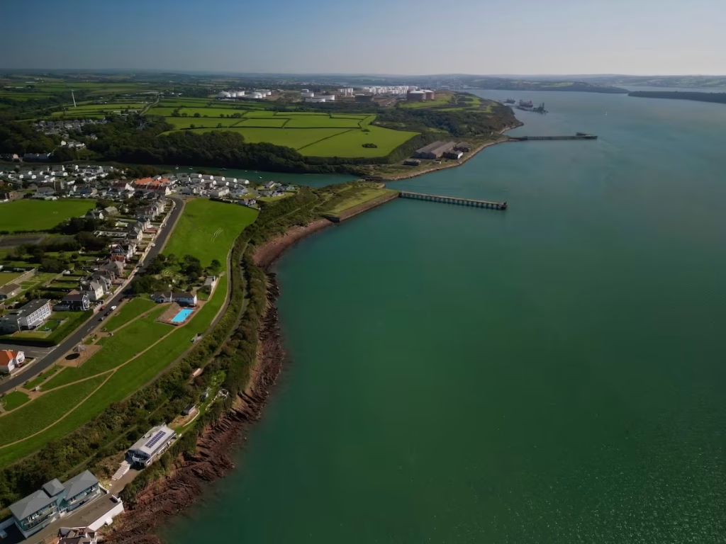
The Cleddau is technically a ’ria’ (drowned valley) rather than an estuary. Downstream the towers of Pembrokeshire power station on the left and the huge Valero oil refinery on the right rose up on the horizon.
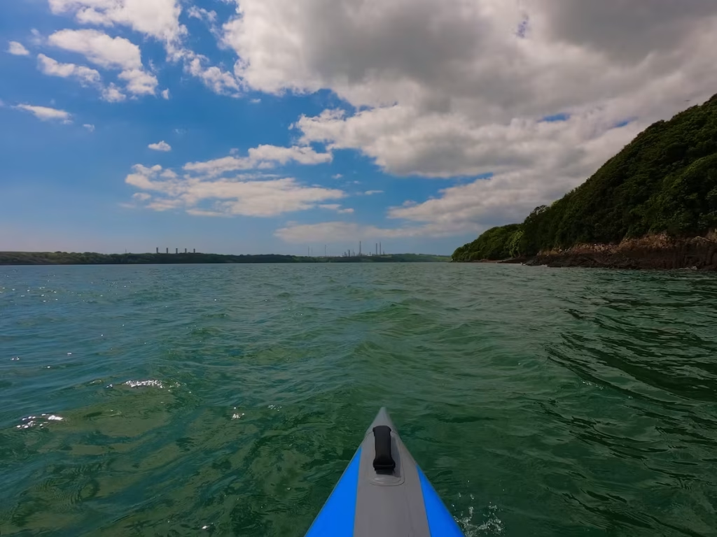
A large shipping terminal came into view as I rounded a gently curving headland downstream from Hazelbeach.
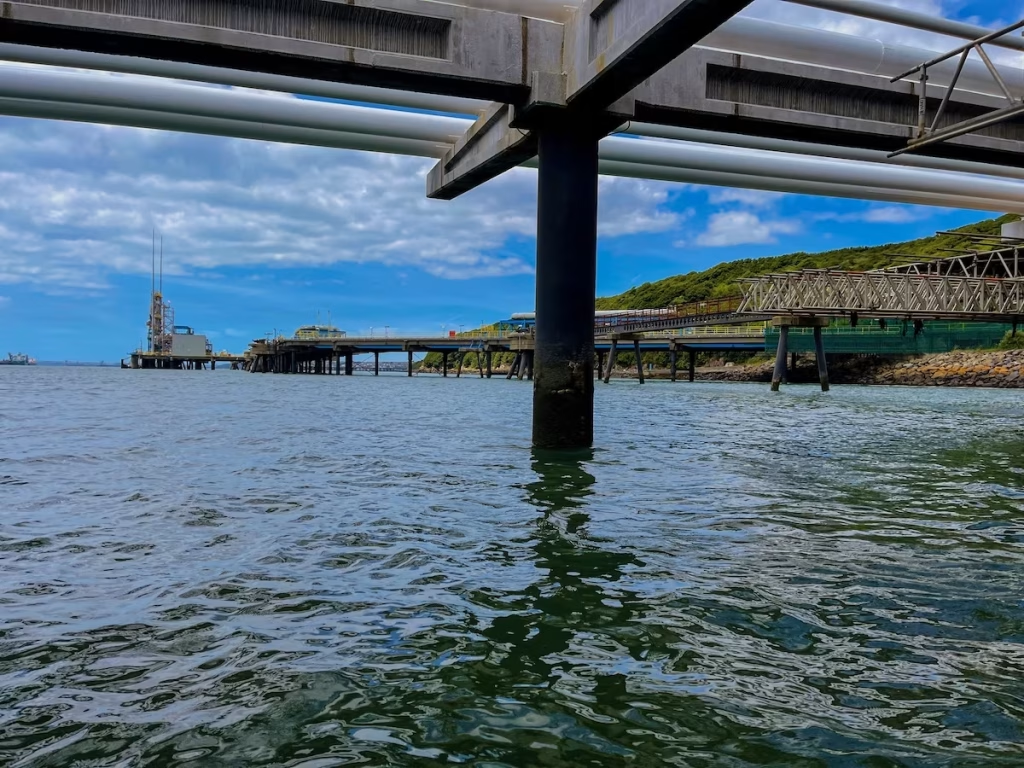
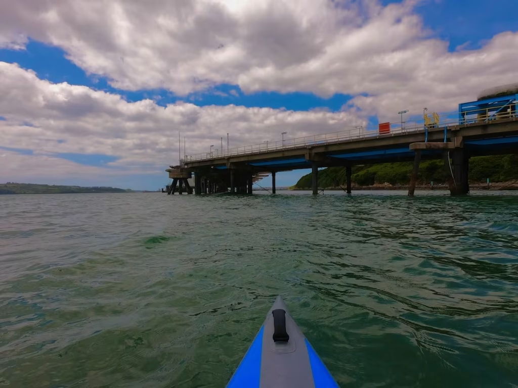
These large terminals are to allow the tankers and other ships to moor up next to the oil and gas installations along the lower sections of the Cleddau.
The terminals were slightly daunting structures to paddle under, like large, industrial piers. I’d only ever seen them from a distance and now I was paddling right by them and even underneath them!
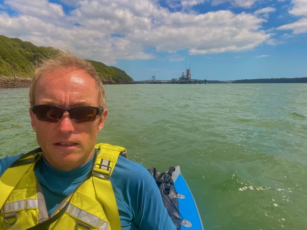
I approached a long industrial pier which stretched out from site of the former Royal Naval Mine Depot. During the Second World War, the depot was crucial for arming minefield in the Western Approaches.
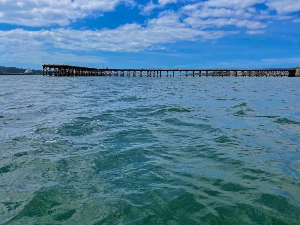
I was now less than a mile from Milford Haven and a was entering ’Scotch Bay’ the wide bay that Milford Haven is situated on. I came upon the entrance to ‘Castle Pill’, an inlet which runs up to Castle Hall, which comprises a large country house and gardens.
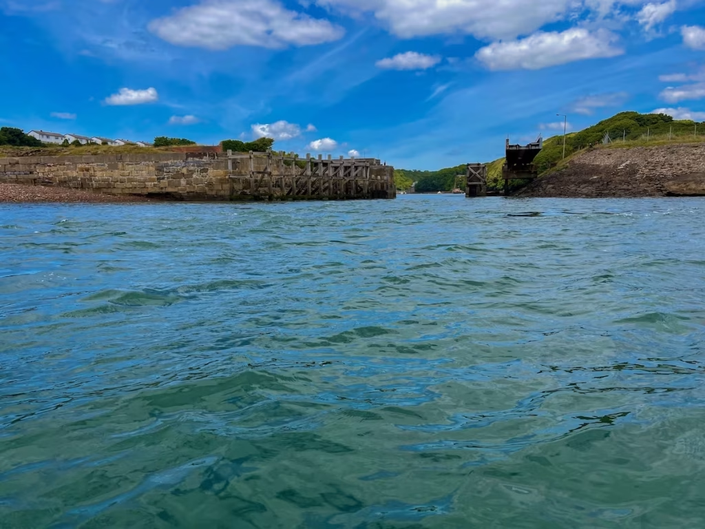
After passing another old jetty just downstream from Castle Pill, the waterfront of Mill Haven Marina loomed up only half a mile or so away. I was quite excited because I’ve never been to Milford Haven let alone kayaked into it!
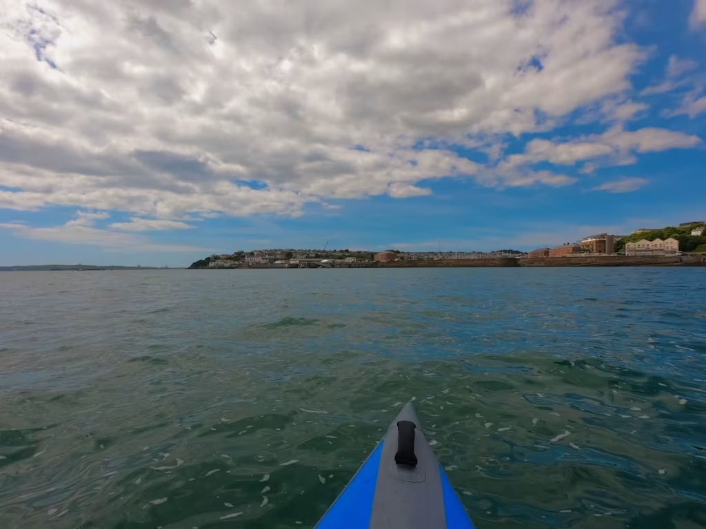
As I approached the sea wall at Milford Haven Marina, I looked for a place to land the kayak.
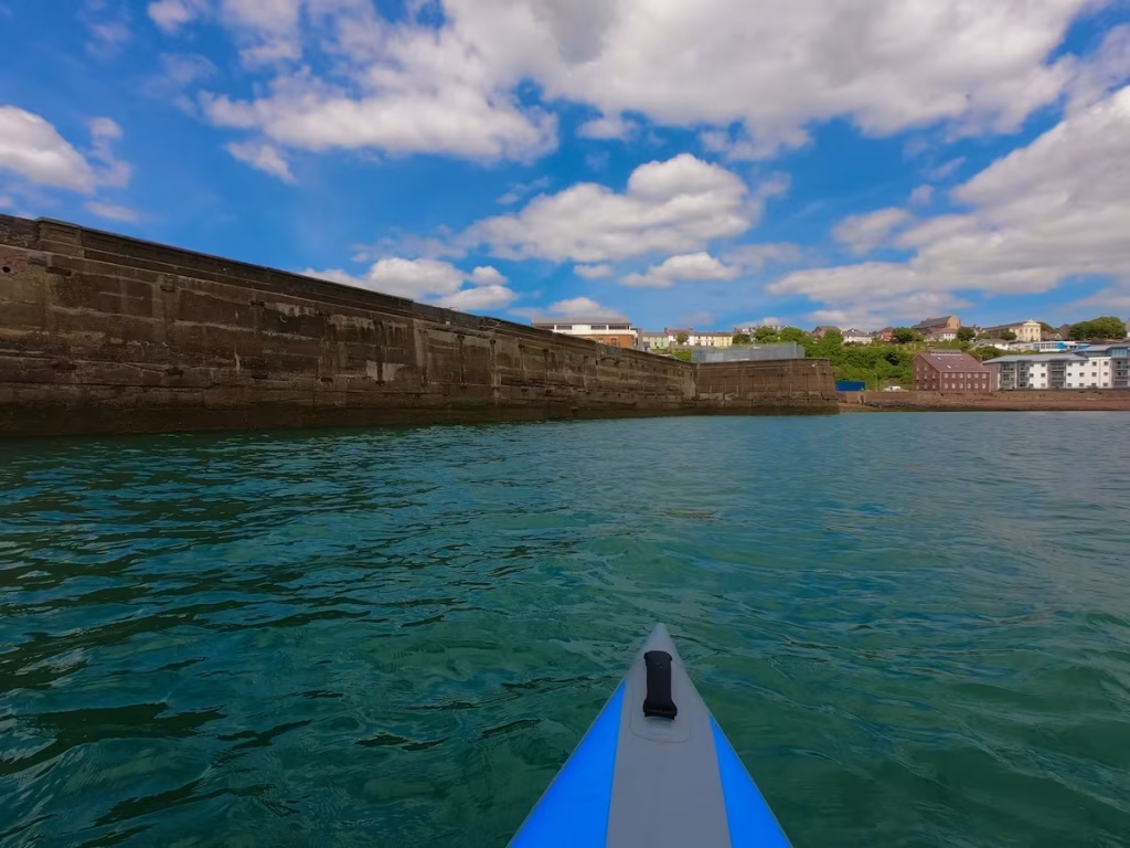
At 4pm I landed at a slipway on the right side of the entrance to Milford Haven Marina.
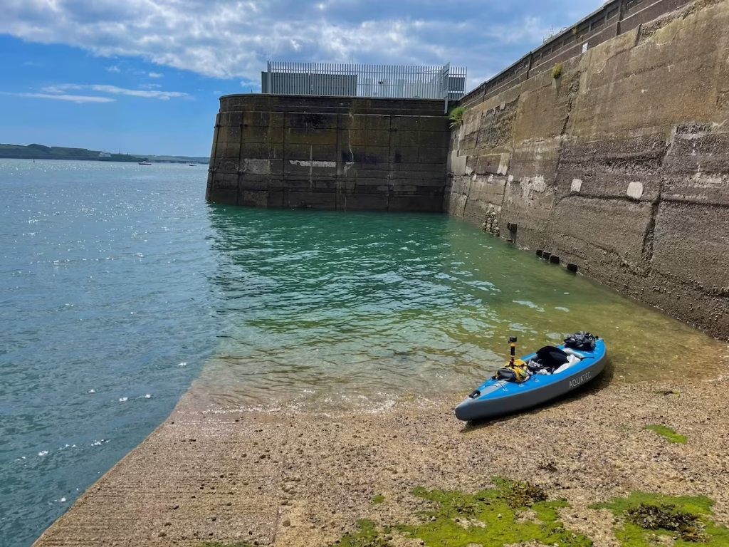
It was only a short distance up onto the promenade and parking area on top of the sea wall at the front of the marina.
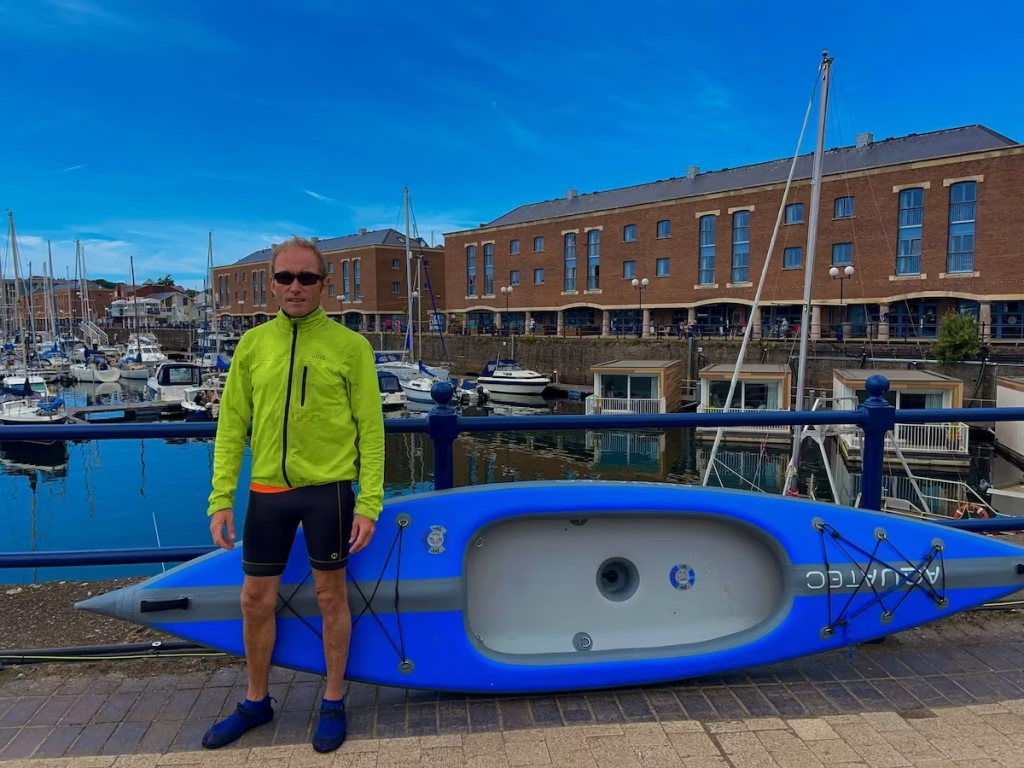
I was surprised at how large and developed the marina was at Milford Haven, having not been there before. There were stores, coffee shops, restaurants, hotels, etc. It apparently has been subject to a lot of development the last few years and this was evident.
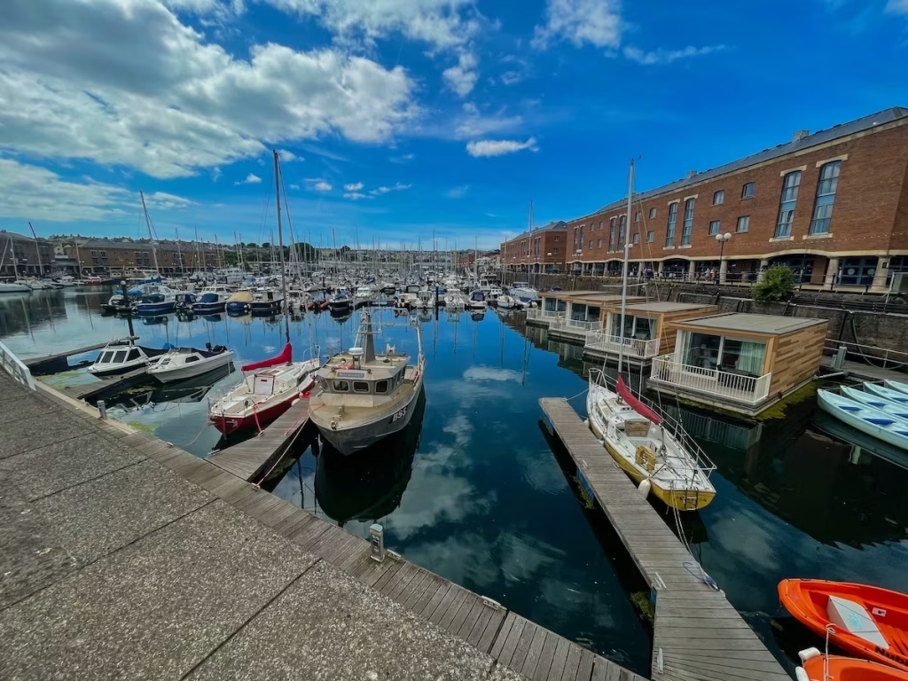
The marina at Milford Haven is down by the waterside (obviously) while the town centre is apparently set back a little walk inland. Milford Haven was founded in 1793 by Sir William Hamilton, who initially invited Quaker whalers from Nantucket in America to live in his town, and then, in 1797, the Navy Board to create a dockyard for building warship.
When I got back to Hobbs Point, the sailing ship that I had seen coming up the Cleddau was moored up right by the car park!
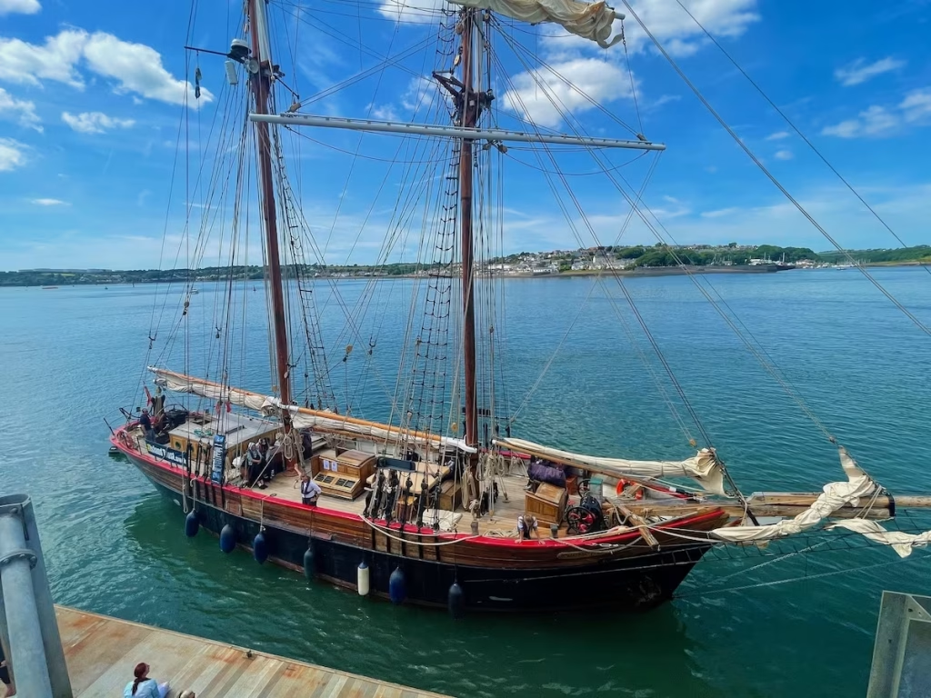
I learned that this was the Johanna Lucretia, a sailed schooner which was built in Ghent, Belgium in 1945. She certainly was a fine sight and was the icing on the cake on a great day of kayaking on the Cleddau. What a great kayak on a great river.
4. Logistics
Hobb’s Point is a great place to start and/or end a kayak on the Cleddau. It has a free car park and also a large concrete slipway from the car park down into the water which is very easy to land or launch from.
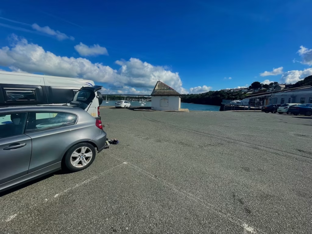
I decided to book a taxi back from Milford Haven back to Hobbs Point, the cost of which was £20. There are a number of taxi firms in Pembroke Dock so it ought not be a problem to find a taxi to get back from Milford Haven to Hobbs Point if you do this kayak.
If you would rather go for the cheaper but longer option of using a bus then the 356 bus goes from Milford Haven Marina to Pembroke Dock train station, this being about 10 minutes walk from Hobbs Point car park.
The alternative is to do a circular much longer kayak from Milford Haven up to Pembroke with the incoming tide and then back to Milford Haven with the outgoing tide.
5. DANGERS & ISSUES
The lower Cleddau River is a very wide and open waterway and I’d therefore suggest only paddling it when it’s a relatively calm day, since otherwise the wind can gust across the river and cause a lot of chop.
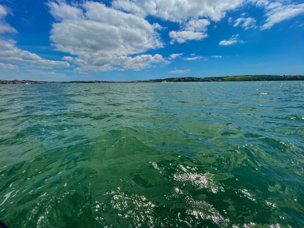
The Cleddau and it’s tributaries are all tidal so it’s best to paddle in the same direction as the tide when paddling them. I paddled downstream with the outgoing tide on this trip.
6. KAYAK USED
I used an Aquatec drop stitch inflatable kayak. This is a full drop stitch kayak which inflates to 12psi so that the hull and decks are almost as rigid as a hard shell kayak when inflated.
The seat is secured to D-rings on the floor and sides of the cockpit.
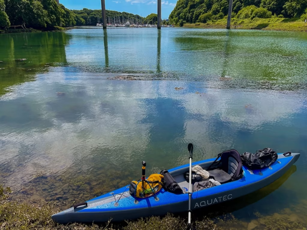
I have found the Aquatec kayak to be very stable and durable.
I have done a full review of the Aquatec Ottowa and have also done a video review on my YouTube channel.
7. PADDLING THE cleddau RIVER
The River Cleddau is a large river system comprising the following elements which includes its tributaries:
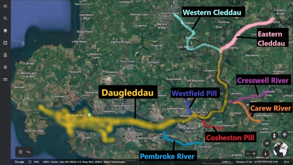
The Eastern Cleddau and the Western Cleddau join at Picton Point to form the ‘Daugleddau’ which in Welsh means the ’2 Cleddaus’. It is also known as the Milford Haven waterway downstream of Pembroke Dock.
I often simply refer to the entire river system as ’the Cleddau’, whether it’s technically the Eastern Cleddau, the Western Cleddau or even the tributaries. The Cleddau and its tributaries comprise over 40 miles of tidal waterways which can provide some awesome kayaking.
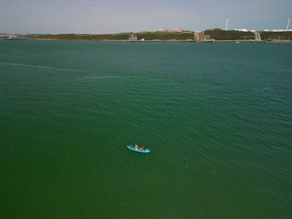
Downstream of Pembroke Dock, the Cleddau River as a semi-industrial feel due to the oil refineries and their terminals dotted along the banks that its natural beauty still shines through.
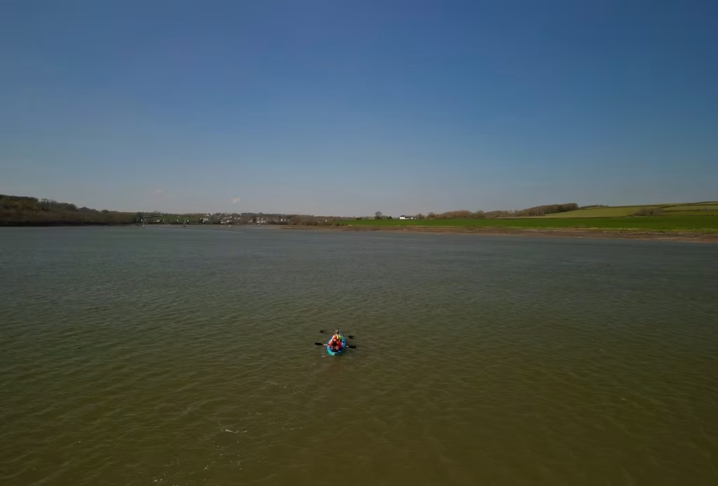
Upstream from Pembroke Dock, the Cleddau River has a more ”rural’ feel to it.
8. summary
This was my second kayak on the River Cleddau and my first on Westfield Pill and on the ’lower’ section below Pembroke Dock.
Neyland Marina on Westfield Pill is a charming inlet of the Cleddau to paddle.
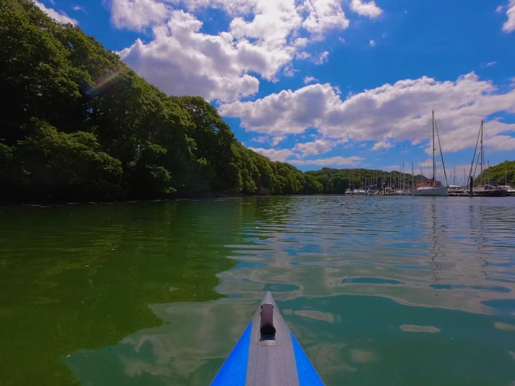
Despite there being many industrial installations such as oil refineries, oil/gas tanks, jetties and terminals, etc, this lower part of the Cleddau still has much natural beauty which shines through.
See below for my Youtube video of this trip.