
CONTENTS
- Date, Distance & Map of Route
- Description of the kayak
- Logistics
- The Wales Coast
- Aternative Options
- Summary
1. Date, Distance & Map of Route
15 February 2019.
5 miles walk.
2. THE GREENFIELD TO FLINT WALK
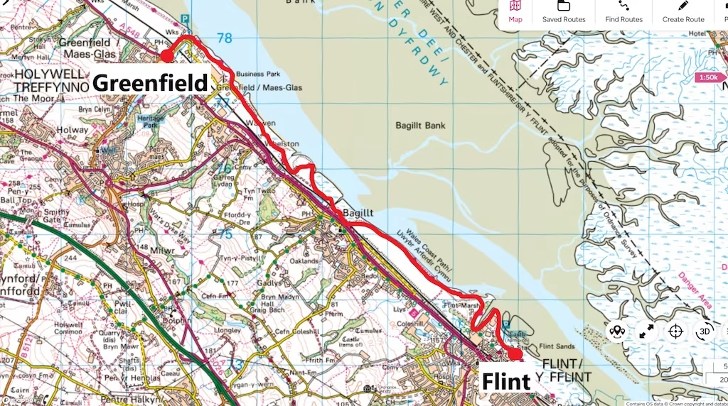
After getting off of the bus in Greenfield opposite the Packet House pub (since apparently closed), we started our hike at about 12.15 and walked down Dock Road to the WCP at Greenfield Dock.
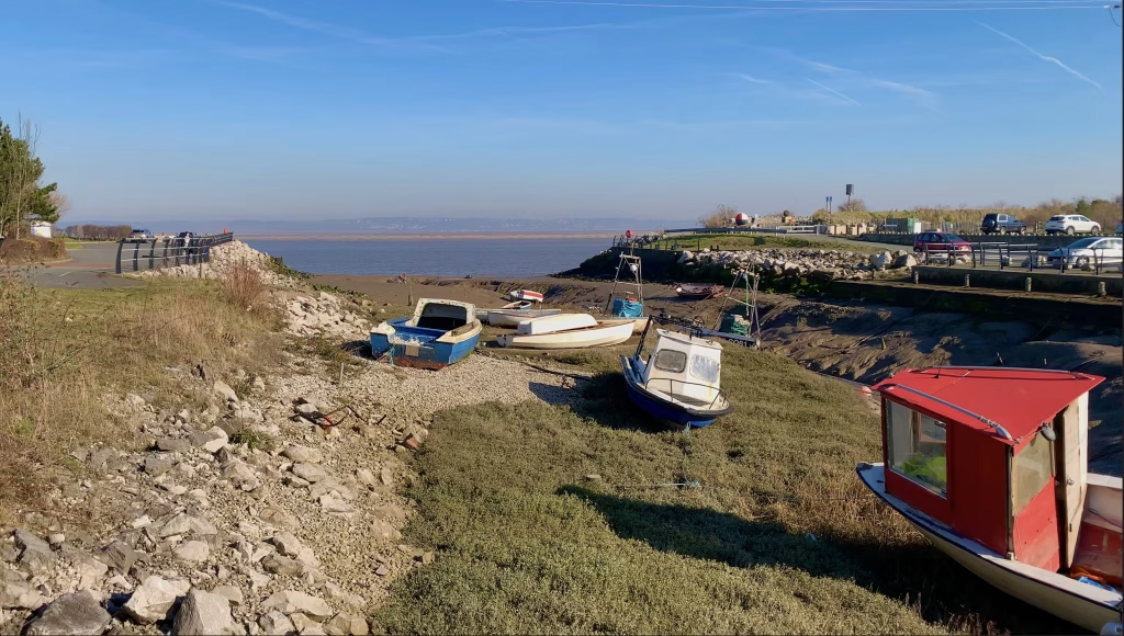
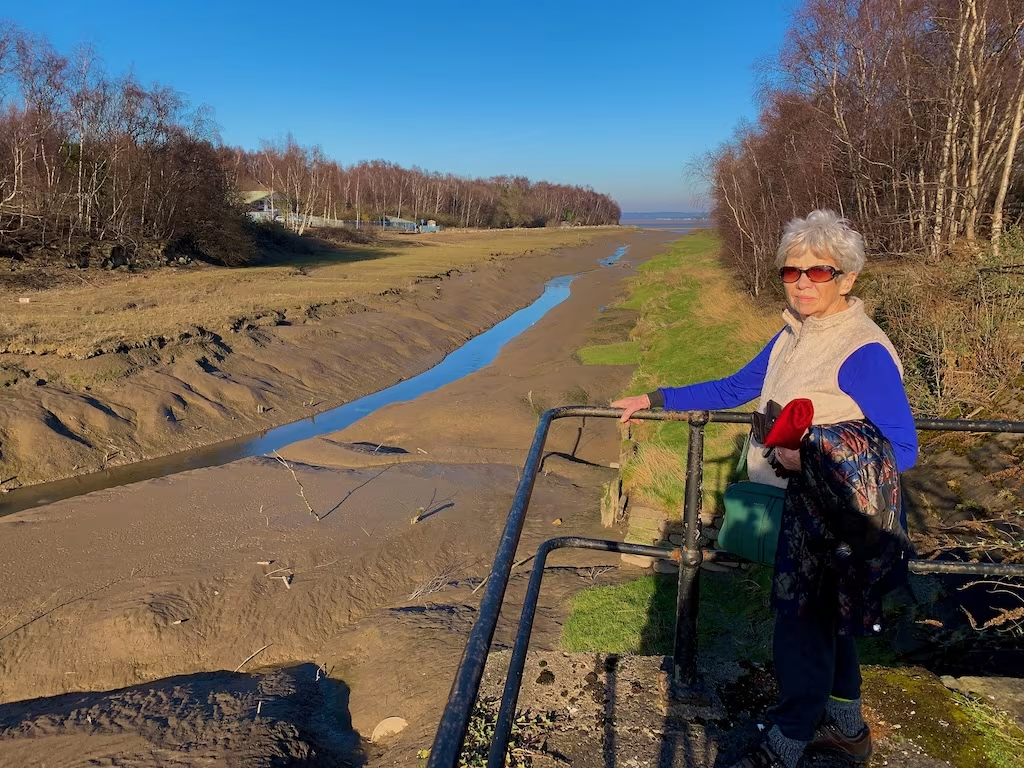
Greenfield Dock is now an inlet off of the Dee Estuary. It’s hard to believe that this tiny dock played such an important role in the transportation and processing of copper and other goods between Wales, Africa and America.
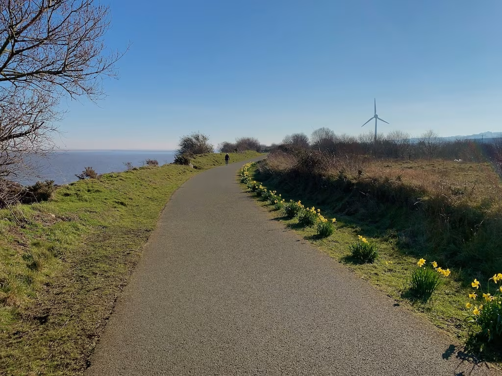
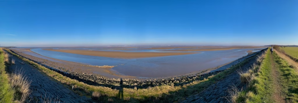
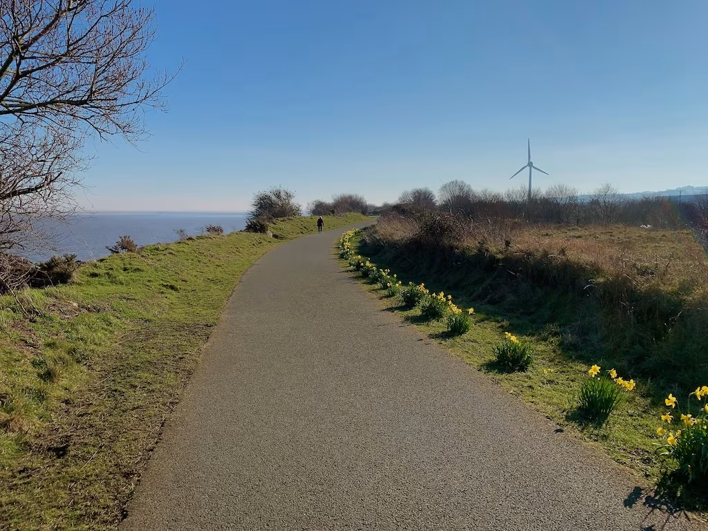
We headed South from Greenfield Dock along the WCP. This section was tarmac, effectively a cycle track. It overlooked the broad expanse of the Dee Estuary on our left.
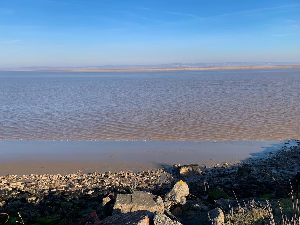
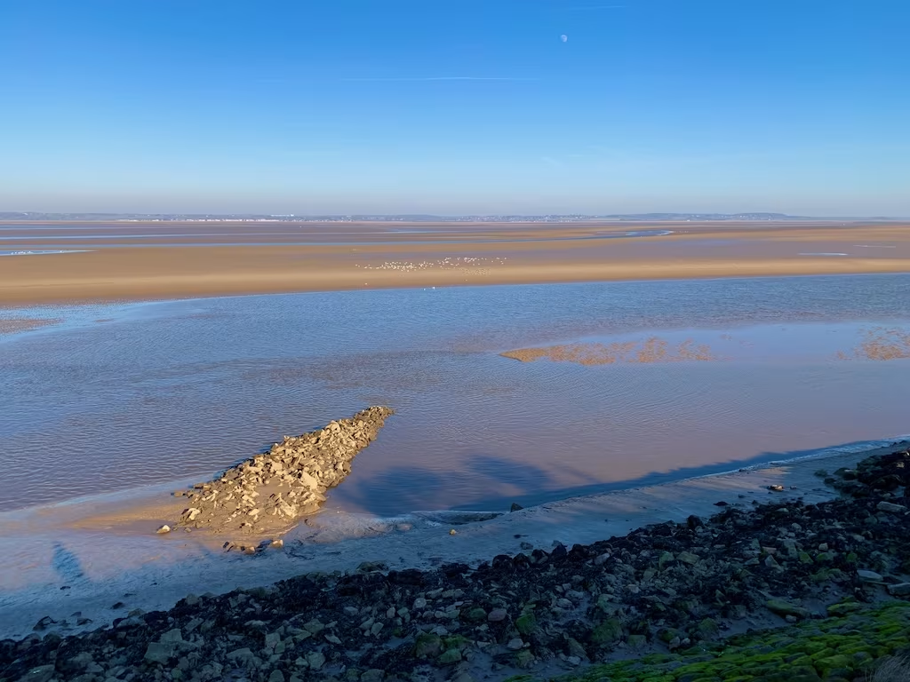
The path was elevated above the Dee Estuary affording great views right across the estuary towards the Wirral on the other side.
As we headed South down the WCP and neared Bagillt, we passed another inlet off of the estuary. The Dee estuary is a great place for seeing geese, ducks and waders, especially in the Winter. Even the odd Osprey has been seen here.
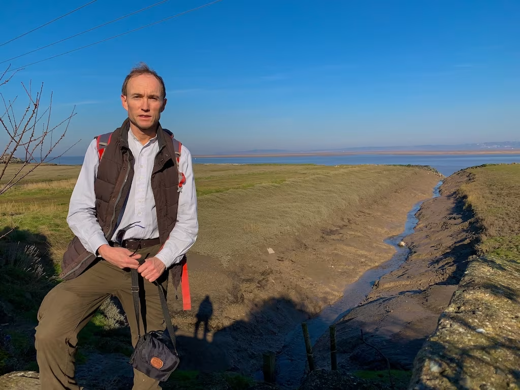
The surface of the WCP changed from tarmac to a more “conventional” footpath surface of compacted mud and gravel as we neared Bagillt.
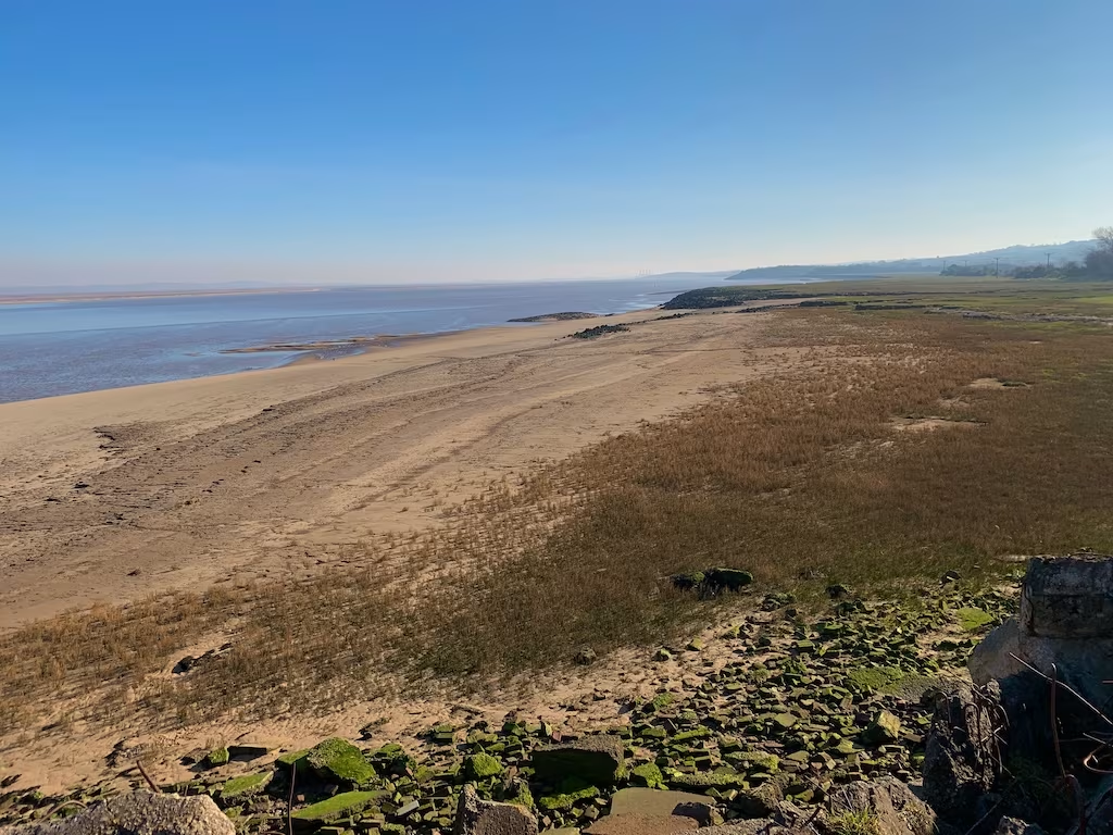
As we neared Bagillt, we passed another of the many small inlets that pepper this stretch of the Dee Estuary. There were a number of boats collected around each of these inlets that we passed, most of them hauled up onto the banks.
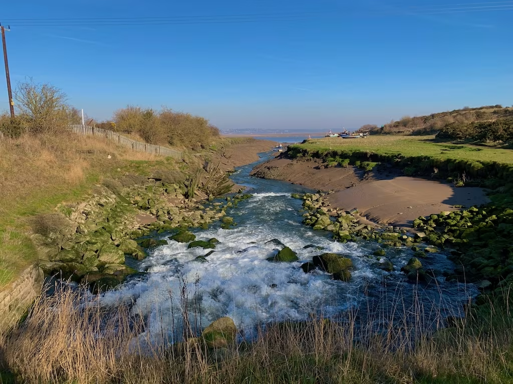
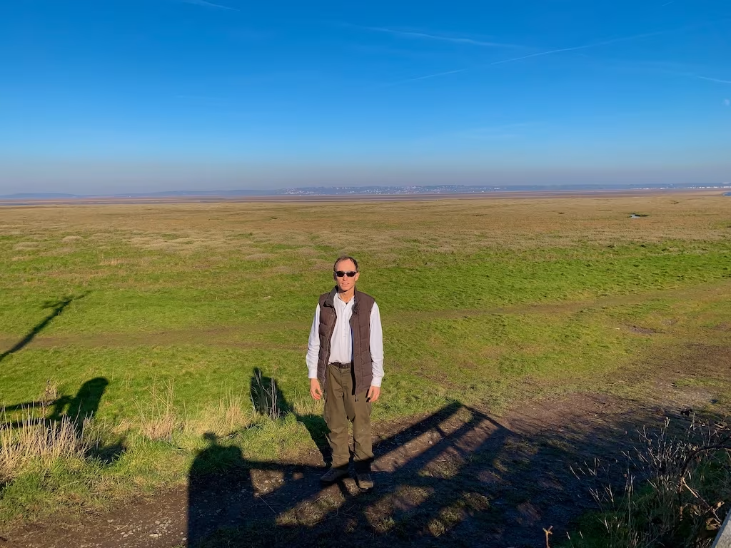
We had now gone about 2.5 miles, almost half the route, as we passed by the village of Bagillt. We pondered whether to stop off at one of the several pubs in Bagillt because they were only about 5-10 minutes or so detour off of the WCP but decided to press on with the rest of the walk. Maybe another time.
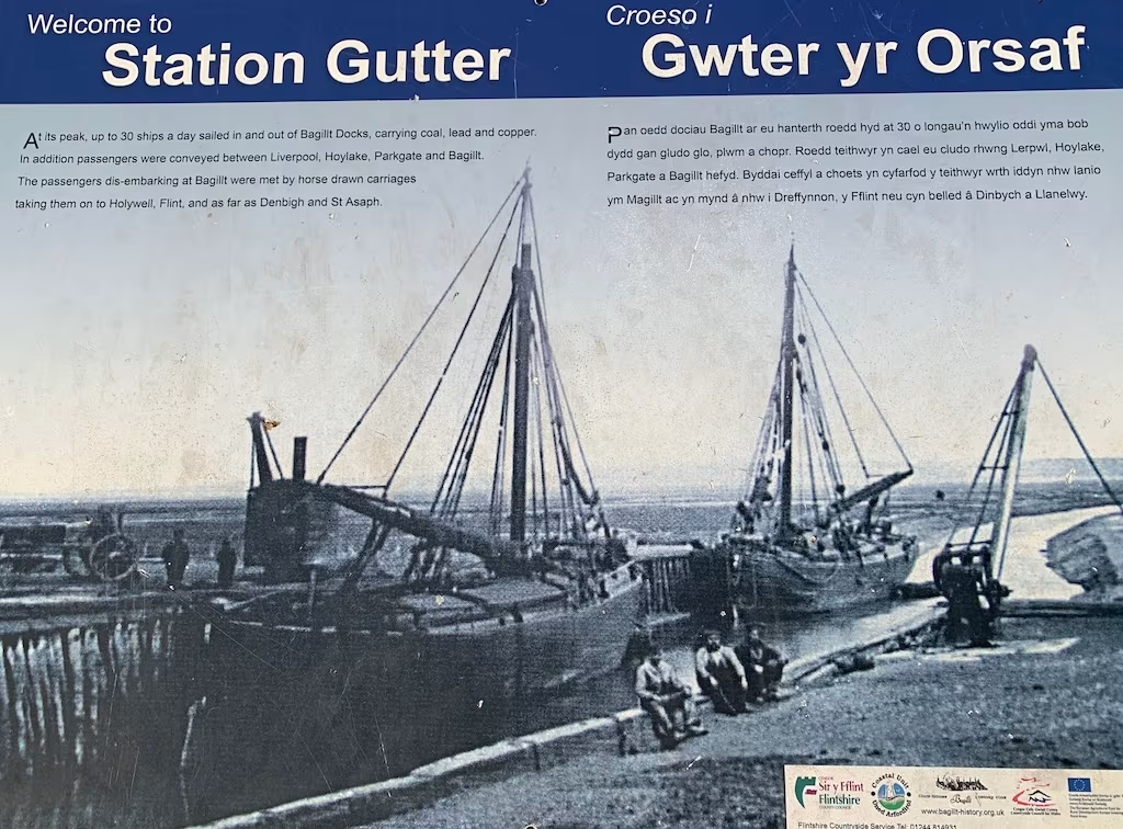
Bagillt already had several quays on the banks of the River Dee, where fishing boats had moored for centuries. By the late 18th century, Bagillt had become a centre of mineral extraction and manufacturing and the quays had grown into docks where cargo destined for the factories and foundries of England were loaded.
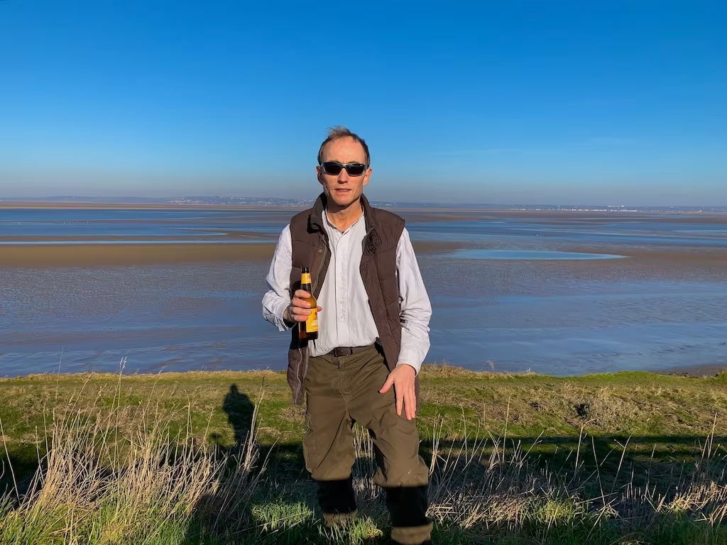
We continued South past Bagillt in the direction of Flint, the vast sandbanks and channels of the Dee Estuary being an omnispresent vista on our left hand side.
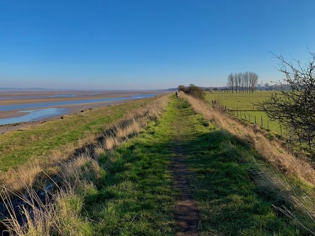
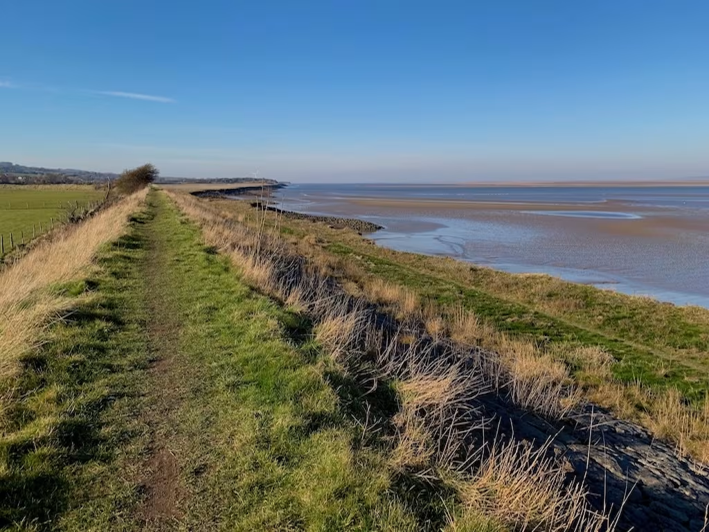
The weather was mild for February, we often started to get a bit hot as is often the case when you are walking. Of course, as soon as you stop walking, you start to feel the cold almost immediately. Lots of layers are the answer!
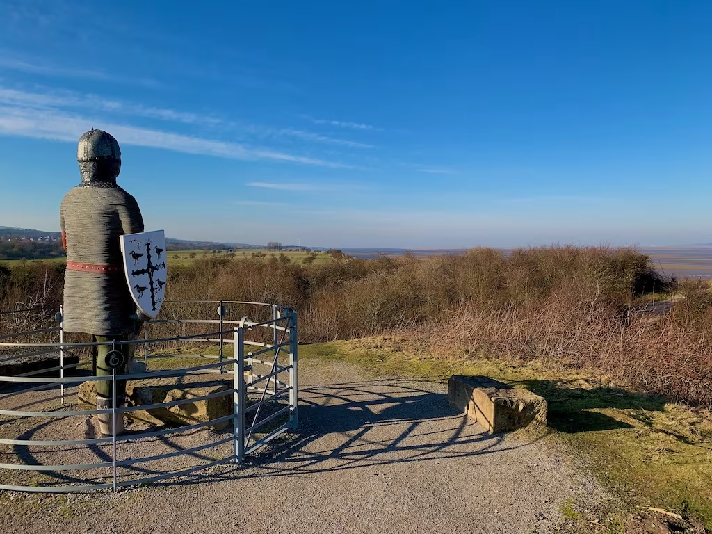
About 3 miles along the route and in between Bagillt and Flint the path climbed up for almost the first incline of the walk so far. We came to the Flint Guardian Statue, a 3 meters tall figure of a Norman knight.
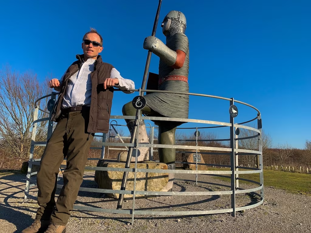
This statue of a knight bears a shield with the crest of Flintshire gazes out to sea across the Dee Estuary.
With less than half a mile left to the end of the route at Flint Castle, we came across the old Flint Dock. Although long since silted up, the Flint Dock was in its heyday busy with vessels carrying various cargoes including coal, timber, lead and other commodities.
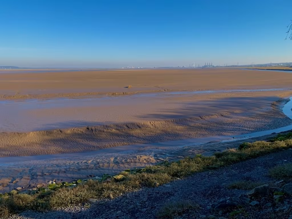
As we neared Flint castle, the view south up the Dee estuary opened up and we could see all the way to the Flintshire Bridge and the chimneys of Connah’s Quay power station.
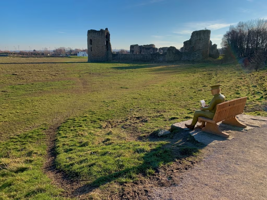
As we walked out of a small wood, Flint Castle suddenly came into view. We had to do a double take at a sculputre of a First World War soldier reading a letter on a bench, it looked so life like.
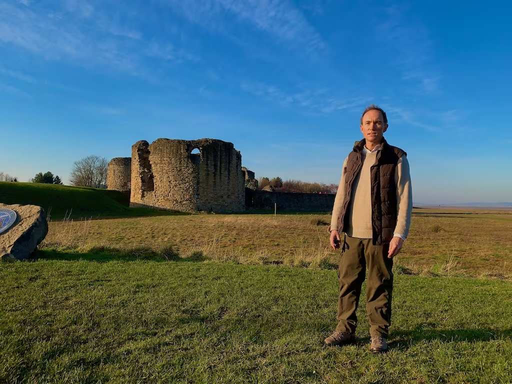
Flint castle was Started in 1277 and largely completed by 1284. It is an impressive structure. Dominated by the great tower (or donjon) at its south-east corner. Surrounded by its own moat and accessed via a drawbridge, it’s essentially a castle within a castle.
After clambering all over the castle, we finally drew down the curtain on our walk. It was 15.30. The 5 mile walk had taken us about 3 hours 15 mins, allowing for a 30 mins lunch stop and also about 20 minutes exploring Flint Castle.
We strolled over to the Castle Dyke Street car park just across from the castle where my car was and then drove back to Chester where we were staying the night.
3. logistics
We caught Bus 19 from Flint to Greenfield and then hiked back to the car which we had left at the Castle Dyke Car park at Flint which is right next to Flint Castle.
We got off the Bus 19 at Greenfield at the Packet House stop and walked down Dock Road about half a mile to the WCP, as shown on the below map.
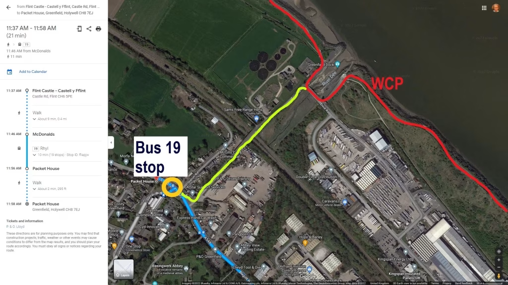
Bus 18 also covers this route.
4. ALTERNATIVE OPTIONS
Longer Walk
This was quite a short walk at only 5 miles. A suggested longer walk is a 12 miles walk from Flint to Talacre (or vice versa).
Cycling the route
Firstly, on the specific route we walked between Greenfield and Flint, about 3 miles of the walk could have been cycled with maybe 2 miles being only footpath, although you could have detoured around these sections on nearby roads. It could therefore have bene done as a 10 miles circular cycle.
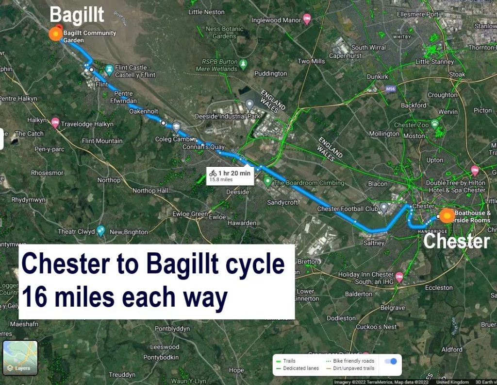
My suggestion for cycling the Wales Coast in this area is to start in the wonderful city of Chester down by the Boathouse and to cycle the splendid riverside off road cycle track numbers 568 and then 5 which run alongside the Dee all the way to Bagillt. This would be just over 16 miles cycling one way. You can then either cycle back the 16 miles to Chester or take the bike on the train from Bagillt train station back to Chester.
Kayking this route
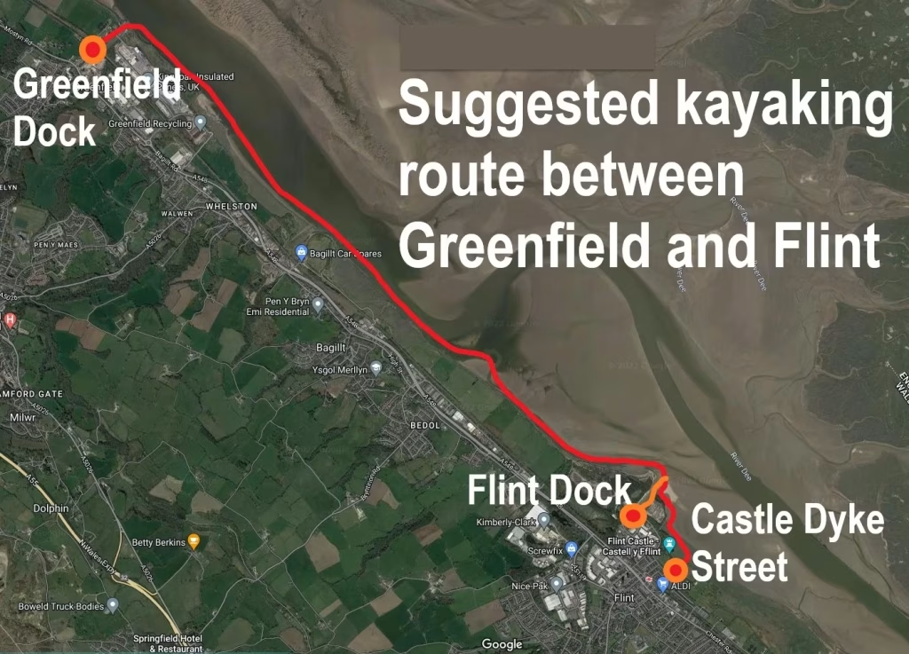
If you were going to kayak this route then you would need to kayak along the South side of the Dee estuary. The Dee is a huge estuary and is very tidal so you obviously need be very careful if you are going to kayak the estuary. You could maybe launch at Greenfield Dock, kayak 5 miles up to Flint with the incoming tide and then back to Greenfield Dock withy the outgoing tide.
In terms of landing and launching, you can land/launch at Greenfield Dock, there is parking either side of the dock.
At Flint, the 2 potential landing/launching options appear to be the inlet of the old Flint Dock or the inlet which runs up to the Castle Dyke Street Car Park and Lifeboat Station. See the below map.
Since the area is part of the Dee Estuary and very tidal, you would need to ensure that you kayaked in the same direction of the tide and also that you landed/launched within 2-3 hours either side of high tide so make sure that you do not have to wade through a lot of mud.
5. THE WALES COAST
When I did this walk back in 2019, at that time I had planned to walk all of the 870 or so miles of the Wales Coast.
I subsequently became so addictaed to kayaking that my plans changed to instead kayak all of the 870 miles of the Wales coast!
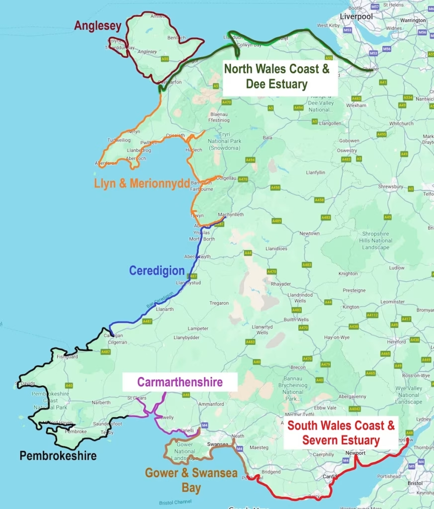
This section is on the Dee estuary on the region that I categorised as the ‘Dee Estuary & North Wales Coast’.
This map below shows how I’ve split the Wales Coast into different regions.
6. SUMMARY
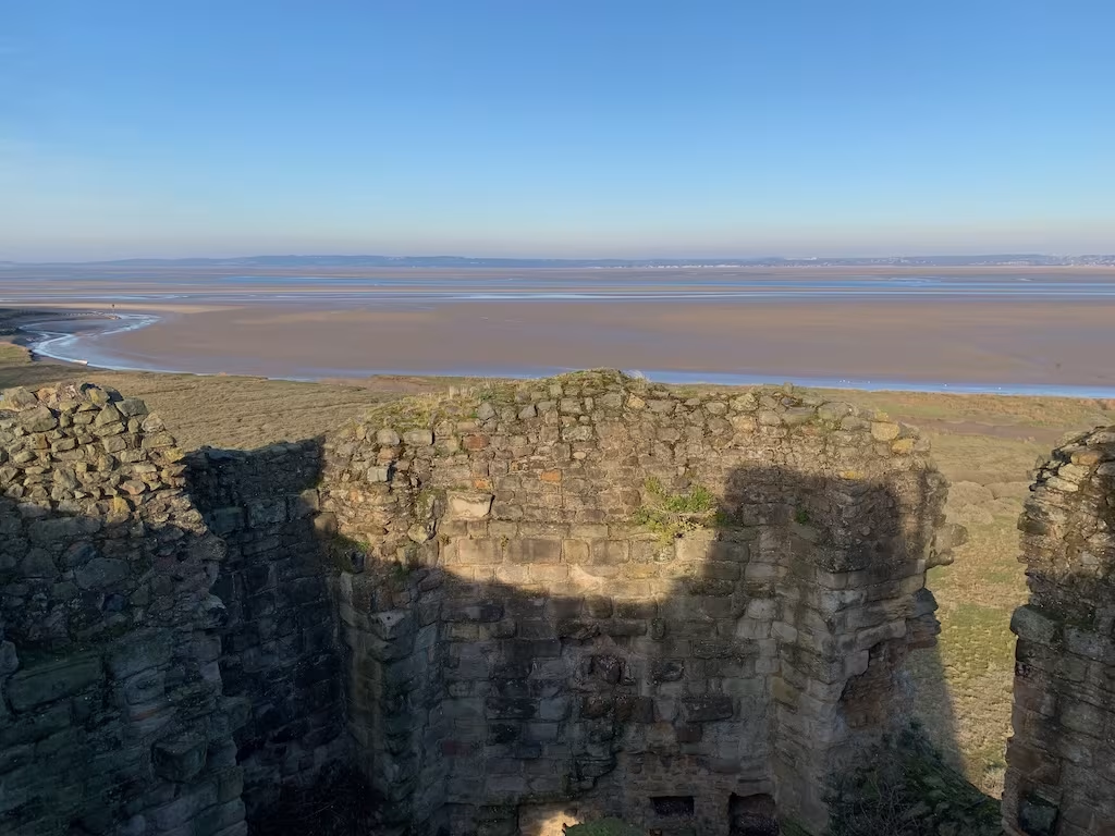
This was a great Winter walk on an interesting section of the Wales Coastal Path with almost unbroken views from the elevated sea wall across the Dee estuary.
It was almost entirely flat and well surfaced.
The views across the Dee estuary were great and almost unbroken for the entire walk.
If you want any more information about it or about kayaking, hiking or cycling the Wales Coast or other rivers and coats generally then please comment below or email me at info@kayakcrew.co.uk