
CONTENTS
- DATE, DISTANCE & MAP OF ROUTE
- WEATHER & TIDE
- THE ABERPORTH TO MWNT KAYAK
- LOGISTICS
- DANGERS & ISSUES
- KAYAK USED
- SUMMARY
1. DATE, DISTANCE & MAP OF ROUTE
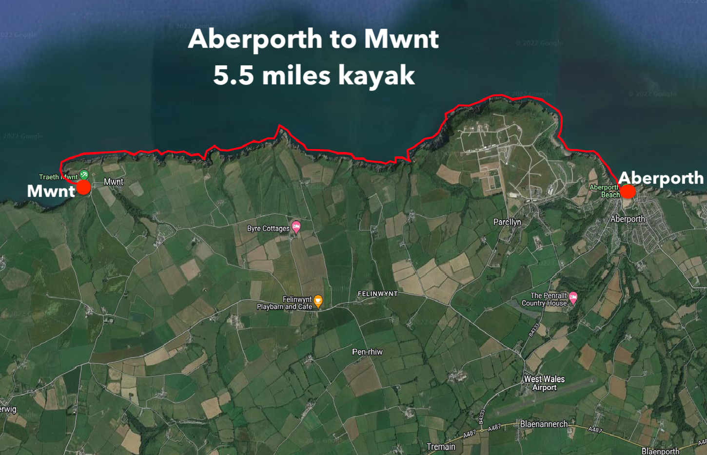
16 July 2021. Launched at 11am. Landed at 14.00. 3 hours paddling. 5.5 miles kayak.
2. WEATHER & TIDE
It was a warm, sunny day with highs of about 24 Celsius and fairly light winds of about 7-8mph from the West. It was a high tide of 3.81 meters at 12:46pm at Aberporth.
3. the aberporth to mwnt KAYAK
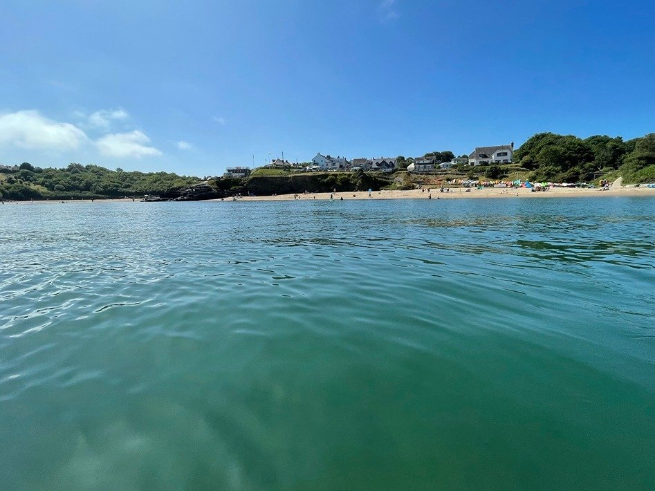
It was 11am before I finally launched my inflatable kayak from the beach at Aberporth.
The tide was going to start going out within a short while of me setting off, which suited me, because I was heading down the coast towards Mwnt.
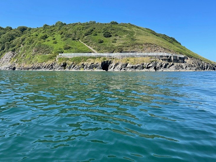
About half a mile down the coast from Aberporth beach, I passed the remains of a military rocket research station, a large monolith of concrete brooding over the sea. There was also an RAF base nearby for decades and you pass it one the road down into Aberporth from the South side.
I had only paddled less than half a mile down the coast from Aberporth beach when I caught my first site of dolphins gracefully ploughing through the water aabout a hundred meters away.
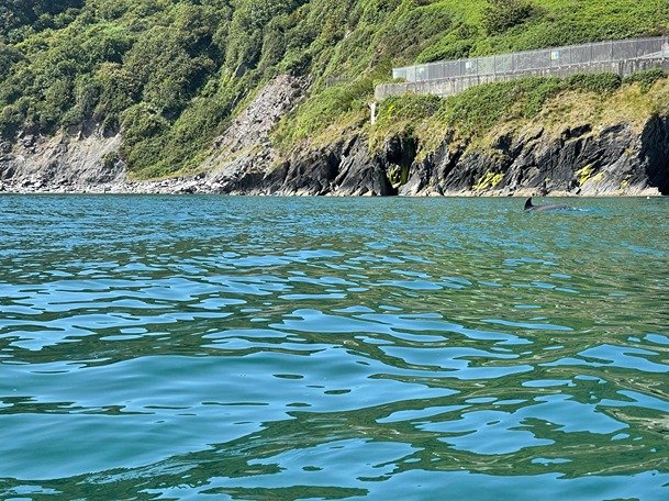
Dolphins are a very common sight on this stretch of Cardigan Bay. Cardigan Bay has the largest European population of dolphins with a Bottle Nosed Dolphin population of over 250 dolphins.
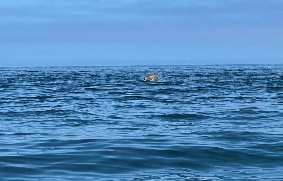
The dolphins seemed very communal, clustering together in little groups which seemed to be part of a larger grouping. They were not far off the coast, maybe 200 meters or so.
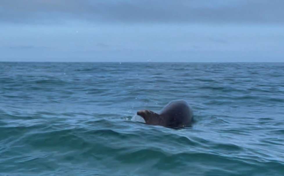
I found the dolphins quite difficult to film and photograph due to their unpredictability.
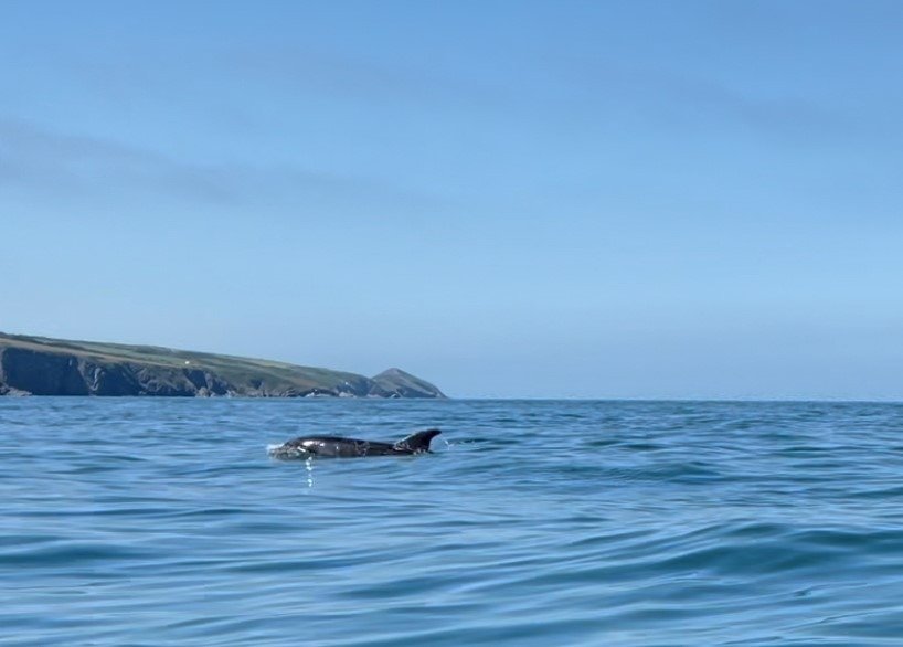
As much as I was enjoying seeing the dolphins, I had to crack on because I was less than a mile from Aberporth.
I started to try to make more progress paddling down the coast with a view to getting to Mwnt in time to get the bus back.
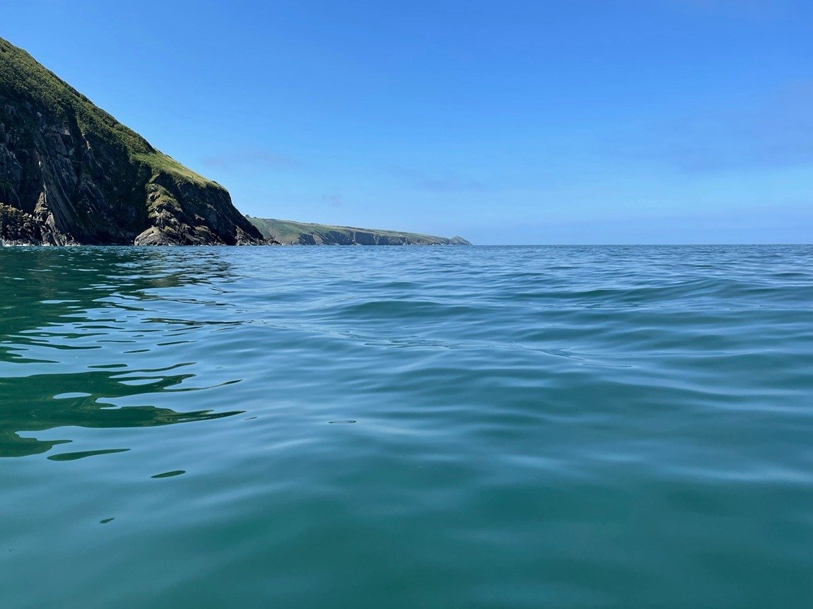
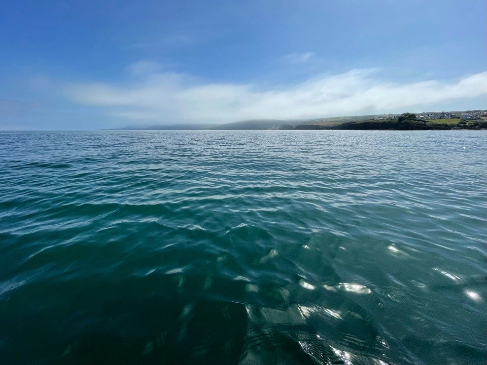
Gazing down the coast, I could see the conical hill of Mwnt standing out like a beacon marking my destination.
On the Go Pro footage I saw when I got home, I also saw an inquisitive seal rear out of the water behind my kayak.
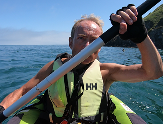
It was getting increasingly hot and despite having put more lashings of sun block on, I started to get that slightly hazy feeling that you can get when paddling hard in blazing sunshine in the Summer.
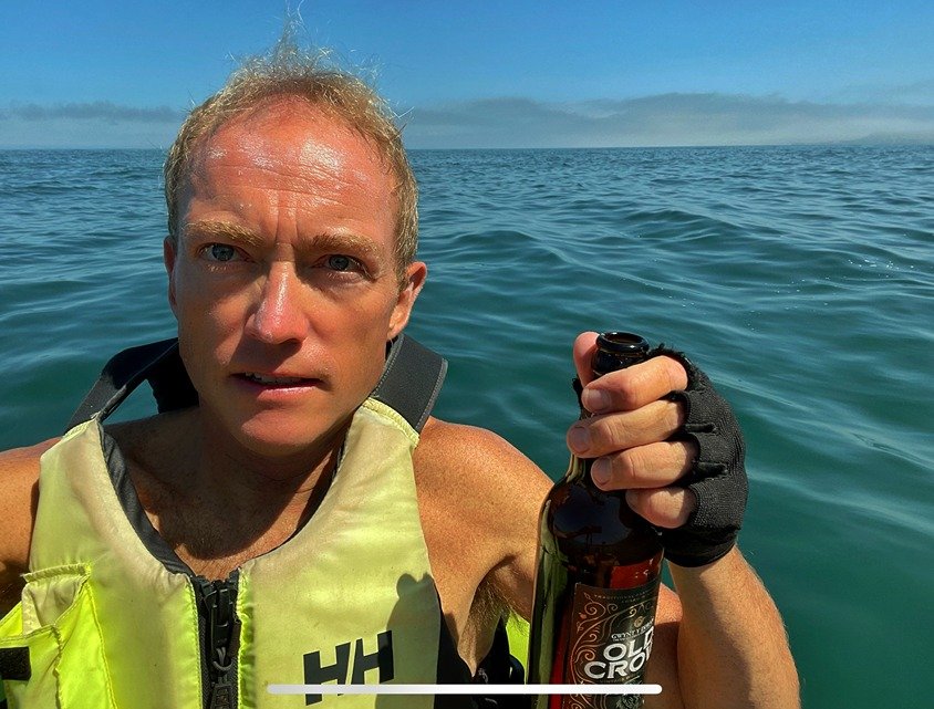
I cut across a long bay which runs for about a mile or more in between Aberporth and Mwnt in order to save time.
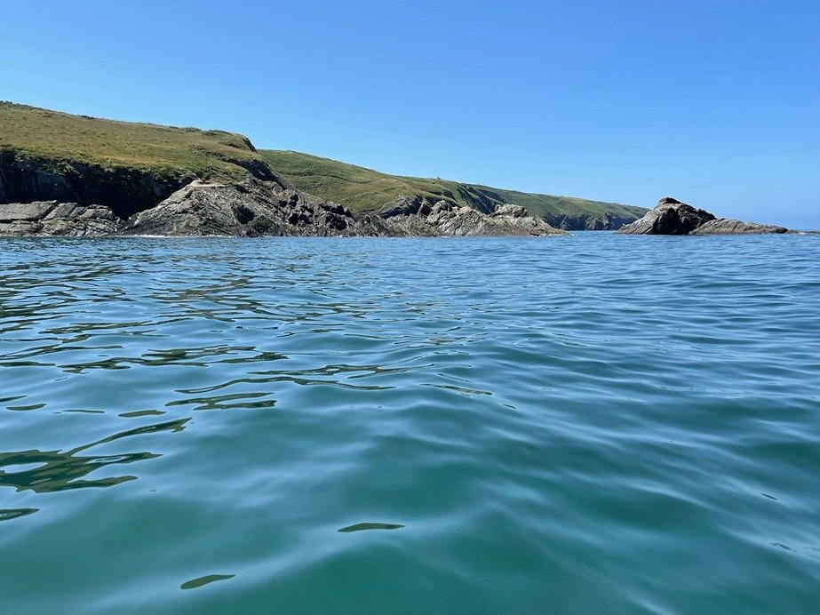
The stretch of coast leading down towards Mwnt was mostly comprised of rugged cliffs and rocks formations which sloped sharply down to the water, interspersed with caves, rocky outcrops and other angular products of the geology.
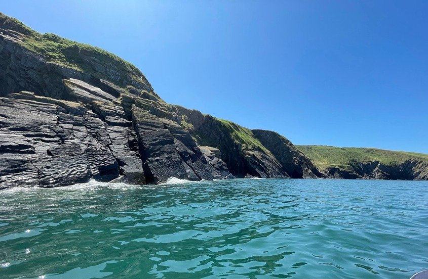
The pyramid shaped hill of Mwnt crept close and closer as I paddled down the coast. It is quite a distinctive landmark which can be seen from miles away when viewed from both up the coast and down the coast.
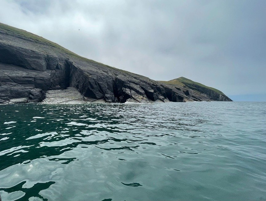
As I neared Mwnt, I could see Cardigan Island down the coast. Cardigan Island is only about 200 meters off shore, just north of Cardigan and the Teifi estuary.
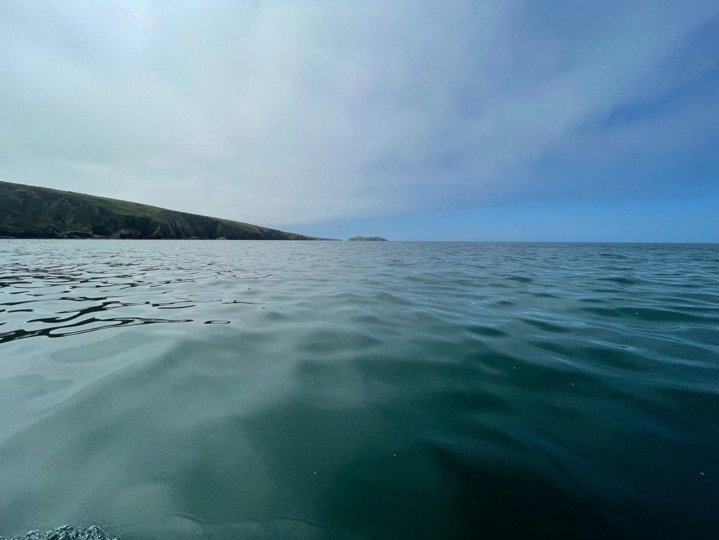
I paddled around the headland on the North side of the bay which sheltered Mwnt beach. The coast stretched to the South towards Cardigan Island and the Teifi Estuary.
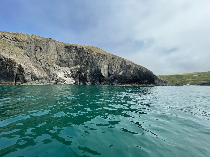
I got my first views of the golden sands of the beach at Mwnt as I paddled around the final outcrop of rocks.
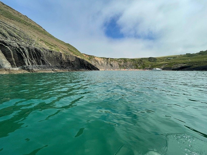
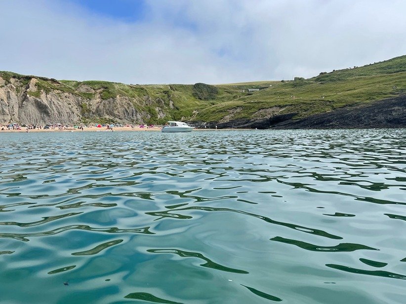
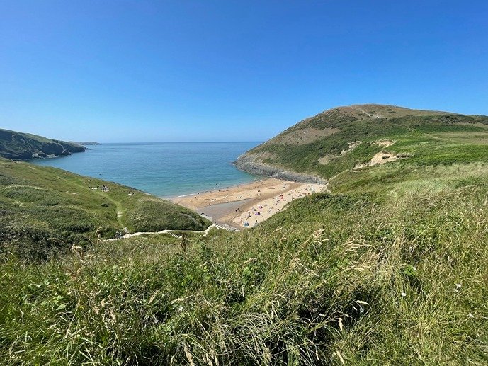
The beach at Mwnt looked to be busy with holiday makers making the most of the sunny weather. I landed at Mwnt beach at 14:00 and hastily deflated, packed up and walked up to the car park to catch the bus back to Aberporth.
There is a pretty little white washed stone 14th Century church at Mwnt. This historic church was on an ancient route used by pilgrims on their way to and from St David’s Catherdarl way down the coast in Pembrokeshire.
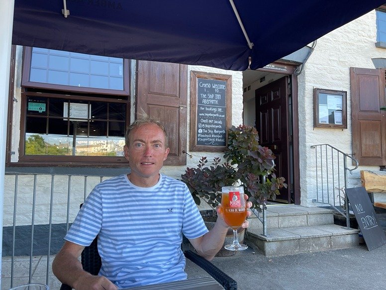
When I got back to Aberporth I stopped for a quick drink at the Ship Inn overlooking the beach later in the evening.
4. LOGISTICS
There are 2 parks overlooking Aberporth beach which at the date of this blog post work on an honesty box system.
There is a pay and display National Trust car park overlooking Mwnt Beach.
I did this trip in July 2021 when the ‘Cardi Bach’ bus 552 was still operating. Unfortunately, the Cardi Bach bus ceased to operate a couple of years later.
A fall back could be to try and book a taxi. There are a couple of taxi companies in Newquay and also several taxi firms in Cardigan although this would obviously cost a lot more than the bus.
The only other bus route in this locality is the T5 Traws Cymru Bus. This runs between Cardigan and Aberystwyth. It does stop at Aberporth and Newquay but does not stop at Mwnt or the other villages on the coast such as Tresaith, Llangrannog, etc, instead stopping only villages which are more inland.
5. DANGERS/ISSUES
As with any sea kayak, you need to check the conditions before you go.
The nearest location with sea forecasts on the surf-forecast.com website is Llangrannog.
Otherwise, this is a fairly straightforward and relatively sheltered route with no tidal races or other issues to be aware of.
6. KAYAK USED
On this trip I used a Pro Aqua inflatable kayak.
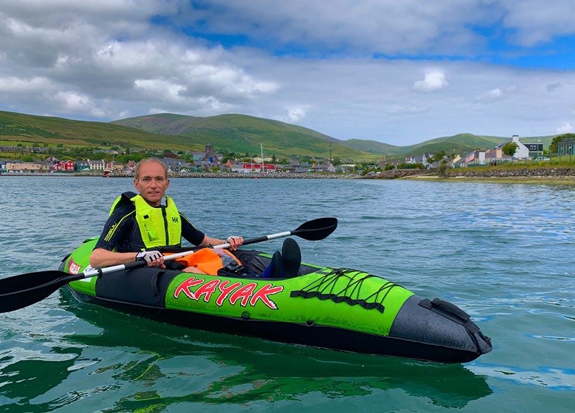
This is a compact inflatable kayak that I used from when I started kayaking in 2016 until late 2021 when I progressed to drop stitch inflatable kayaks.
7. SUMMARY
This of my favourite kayaking trips of all time. Seeing the dolphins up close is really a fantastic experience and one that you will not forget.
You could of course do it as a longer circular kayak of 11 miles rather than doing it as a one way paddle.
You can view my video of this kayak trip on my Youtube channel below.
If you want any more information about it or about kayaking, hiking or cycling Cardigan Bay generally then please comment below or email me at info@kayakcrew.co.uk