
CONTENTS
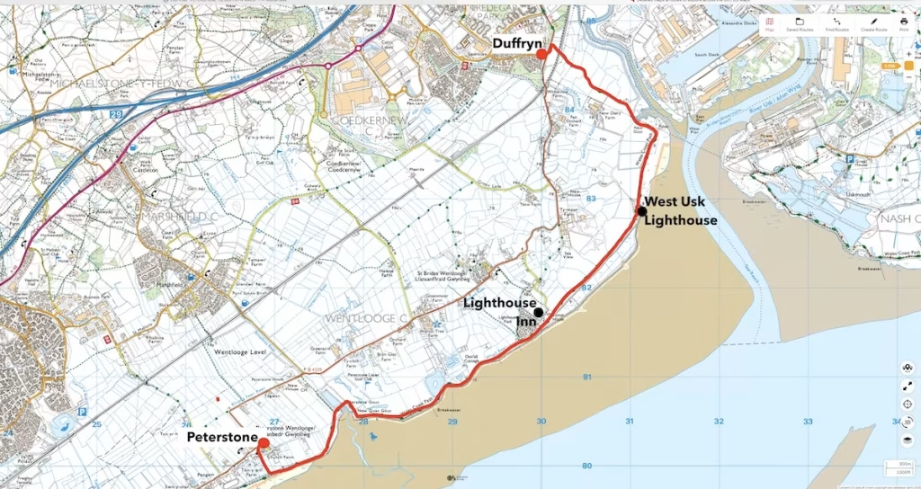
1. DATE, DISTANCE & MAP OF THE ROUTE
10 February 2019. 6 miles walk.
2. THE PETERSTONE TO DUFFRYN WALK
We set off from Peterson and walked through a gateway onto a path down to the sea wall past Peterstone Church, a magnificent 15th Century building.
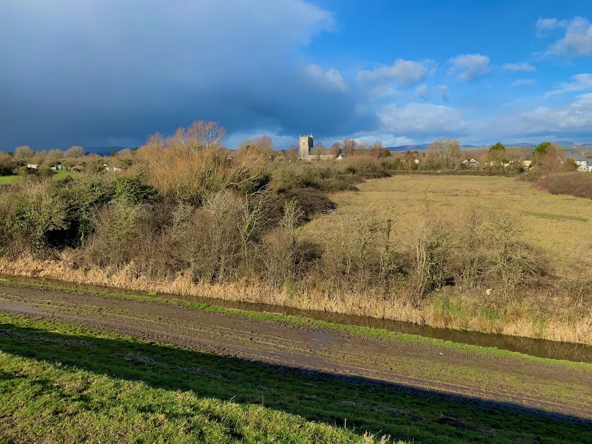
Peterstone church was renovated following damage caused by the Great Flood of 1607 when large tracts of land on both the English and Welsh sides of the Severn Estuary were flooded by the sea.
After walking about a third of a mile past the church, we came to the large sea wall which runs all the way along the seafront in Wentlooge, the low-lying flat area between Cardiff and Newport. This large man-made feature would dominate the rest of the walk since the Wales Coastal Path (WCP) runs almost entirely along the top of the sea wall all the way from Cardiff to Newport and also on from Newport to Portskewett.
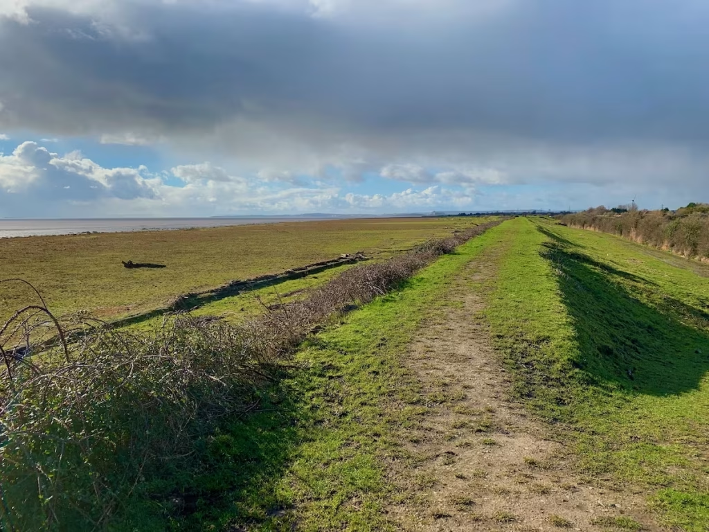
There are 3 main advantages to walking on top of the sea wall which runs from almost all of the coast between Cardiff and Portskewett:
- The path is almost entirely flat
- The sea wall is about 5 meters high so you have a raised “vantage point” with views over the Severn Estuary on one side and Wentlooge and the Gwent levels on the inland side
- The path is relatively dry, being raised above the estuarine mud on the one side and the flatlands on the inland side.
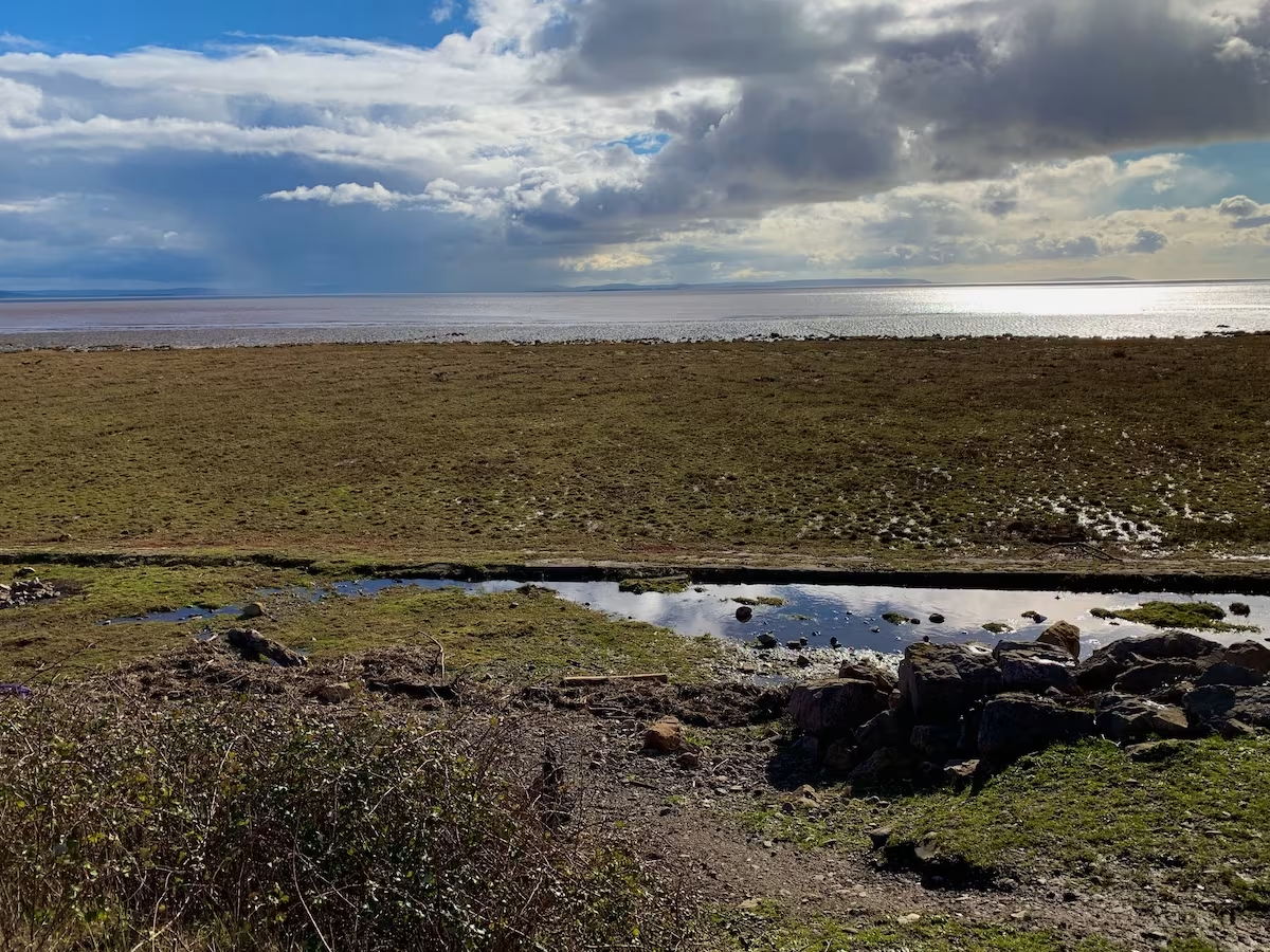
We headed East along the sea wall in the direction of Newport. The tide was out quite far exposing the mudflats of the Severn estuary.
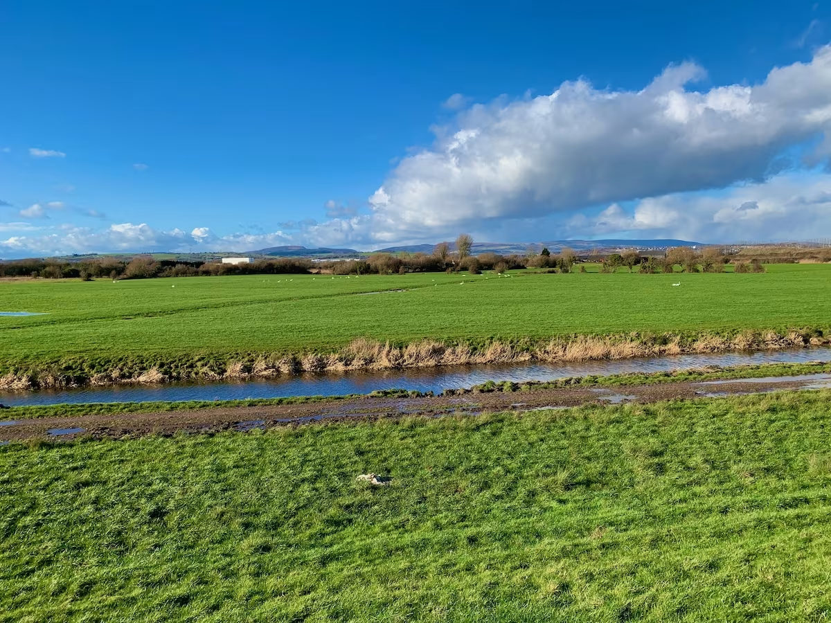
Much of the flatlands between Cardiff and Newport and also between Newport and Chepstow have a similar feel, since all of this region bords the Severn Estuary and has a similar topography.
We passed an inlet known as “Peterstone Wharf”. This led to a large tidal pool on the inland side of the sea wall known as “Peterstone Gout”.
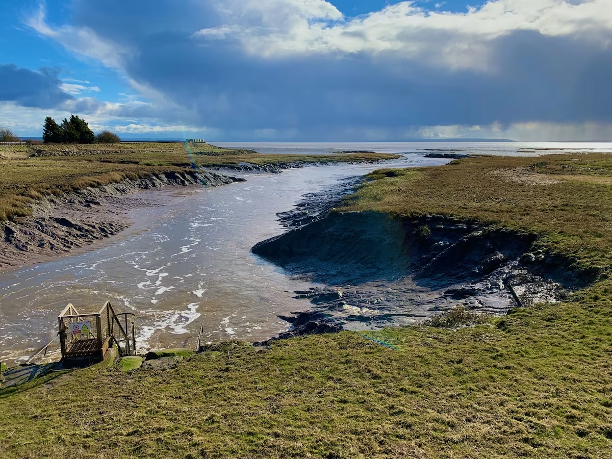
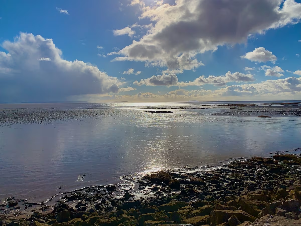
Gazing Eastwards, we could see Somerset and North Devon coastlines across the other side of the Severn Estuary and could also see the dark grey silhouettes of the islands of Flat Holm and Steep Holm out in the channel.
The flatlands of Wentlooge were originally mostly marshlands until they were drained in the Roman period by the extensive digging of drainage ditches. Following the withdrawal of the Romans, much of the area reverted to marshland until it was drained again in the middle ages and the sea wall was rebuilt to protect the reclaimed land from the sea.
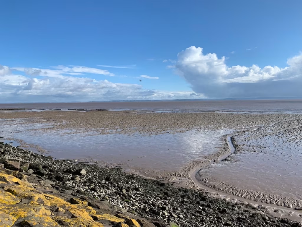
Gazing across the Severn Estuary, we could see the area around Clevedon and Portishead on the English side. It’s about 10 miles across as the crow flies at this point, although it always seems closer.
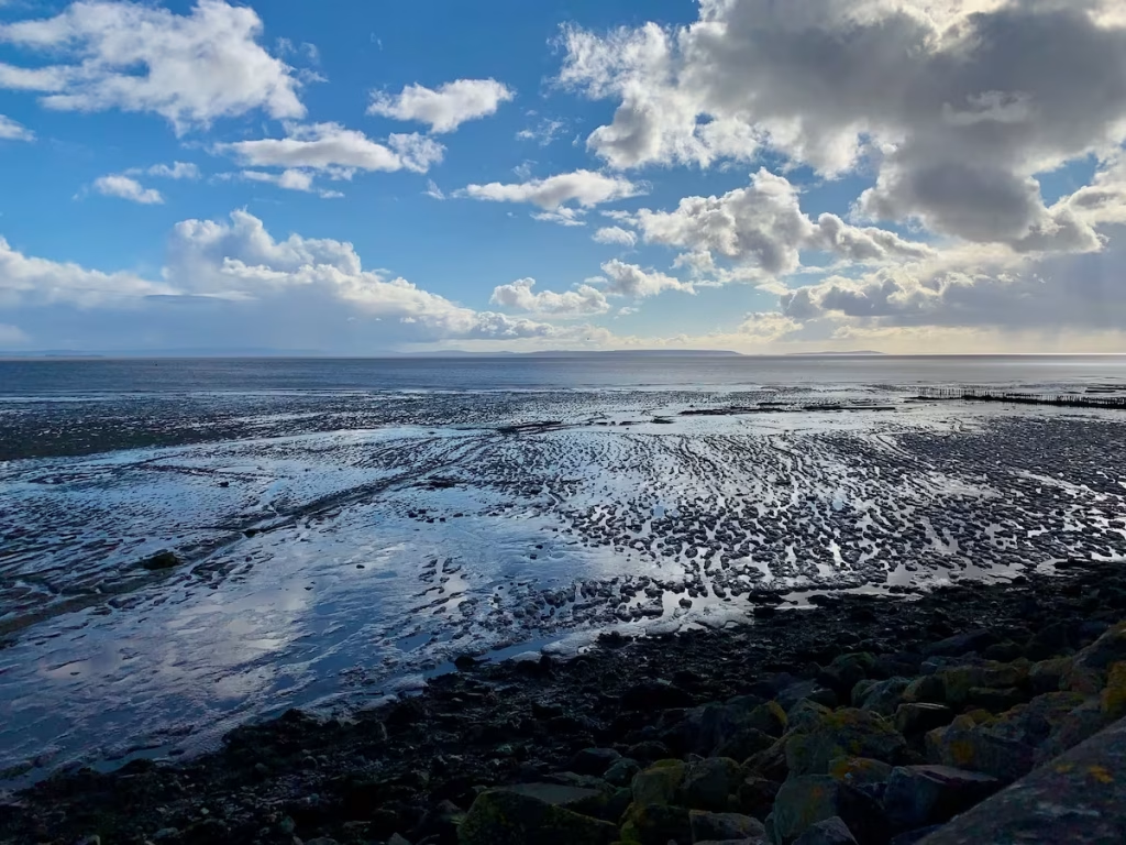
I used to work and live in both Newport and Cardiff so know the “Wentlooge” area between Cardiff and Newport fairly well. The name ‘Wentlooge’ is apparently a corruption of the earlier name Gwynllŵg, said to have been named after Gwynllyw, its 5th – 6th century ruler.
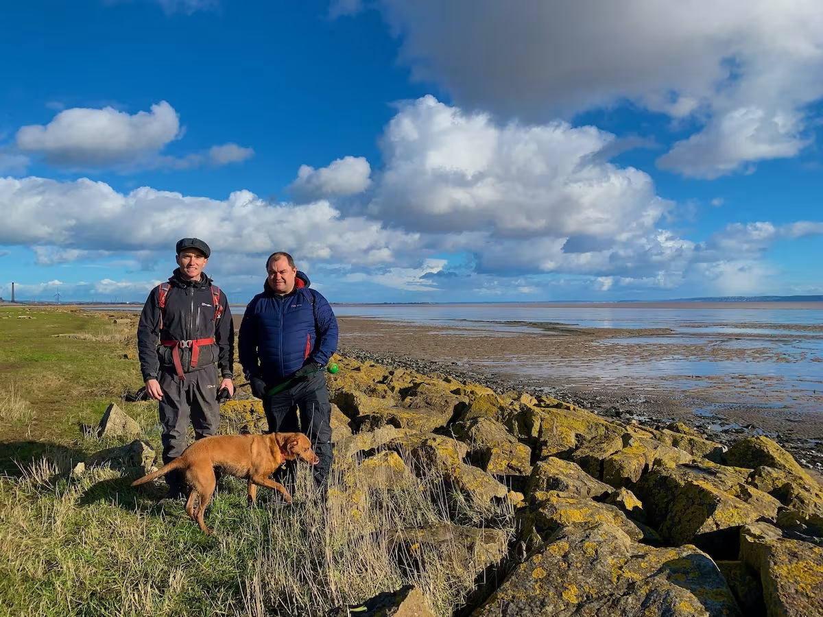
We ate our sandwiches in this sheltered spot which was about 3.5 miles along our 6 miles route. Ellie pestered us for food, she’d obviously built up quite an appetite by running around like a loony since we started the walk!
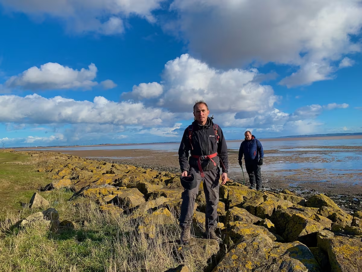
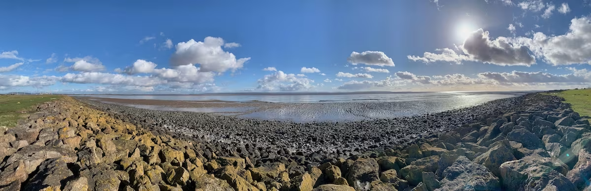
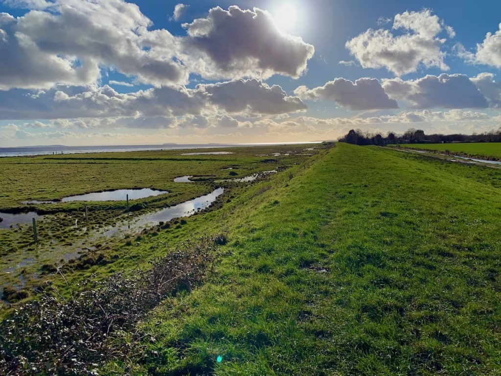
The vista of the Severn Estuary was quite stunning. While parts of the Wentlooge Levels and the Gwent Levels are admittedly semi urban, large tracts of it feel like an oasis of rolling fields and expansive waterside views. Time for a panorama shot!
We came to the Lighthouse Inn, a pub I had not been to for many, many years, maybe not since I had lived in Newport some 20 odd years ago.
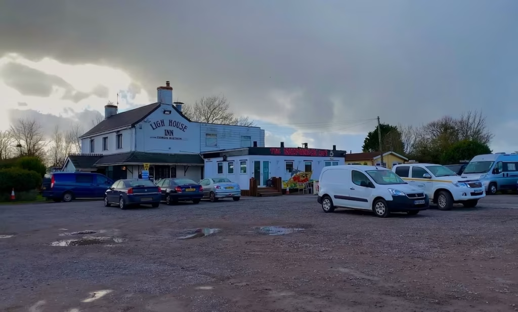
The Lighthouse Inn has unfortunately closed since we did this walk back in 2019. Such a shame, hopefully it will re-open one day. After a drink we then set off along the sea wall again towards the mouth of the River Usk.
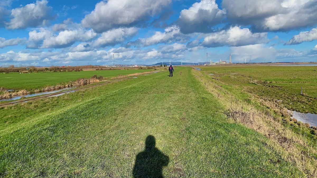
The tall chimneys of Uskmouth power station marked the approach to Newport. Uskmouth power station was built in the 1950s and is currently undergoing a conversion to run on biomass and waste plastic.
As we neared the mouth of the River Usk and about 4.5 miles along the 6 miles route, we came to the famous West Usk Light House.
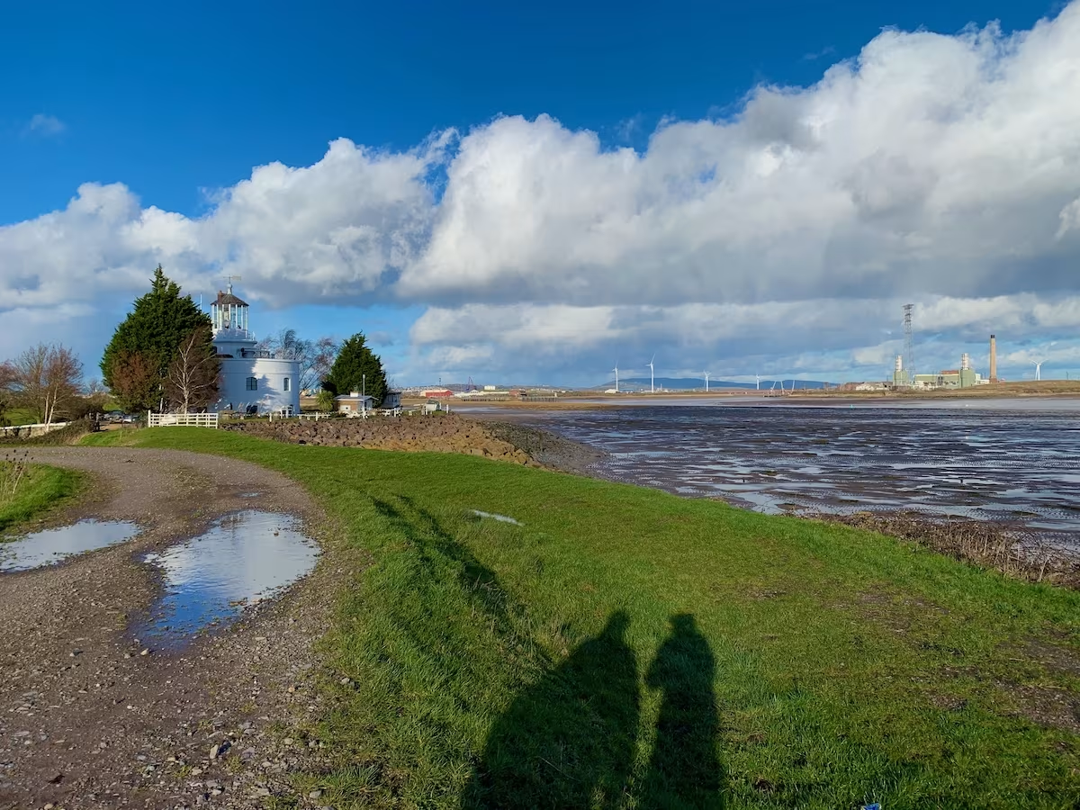
The lighthouse was built in 1821 by a Scottish architect called James Walker. It warned ships approaching the mouth of the River Usk on their way to and from Newport docks. The West Usk lighthouse has been renovated and is now a hotel.
The West Usk lighthouse was originally on its own island until the land around it was reclaimed, linking it to the mainland.
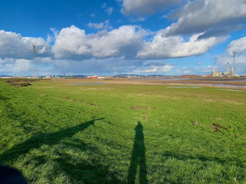
The sea wall swung inland, following the West bank of the River Ebbw, a smaller river which flows into the mighty River Usk at the estuary.
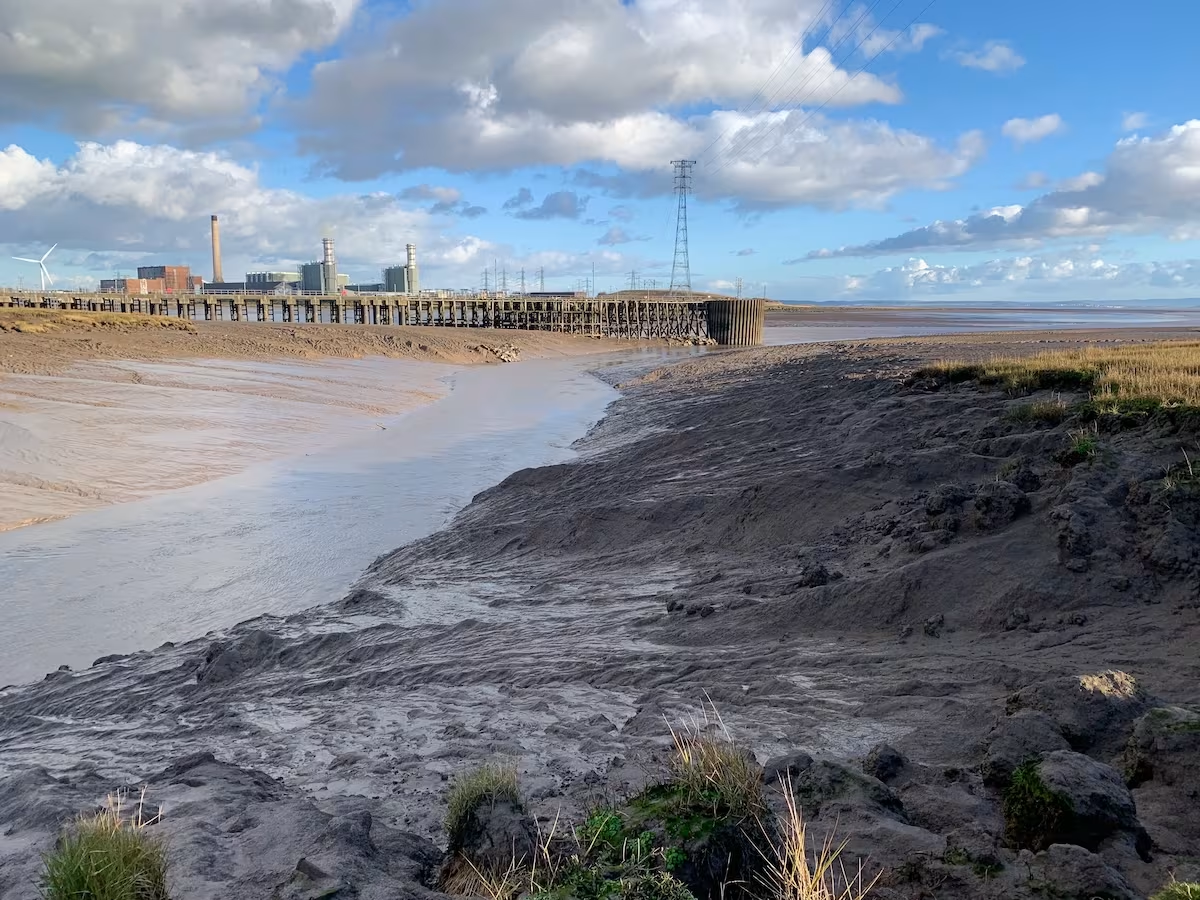
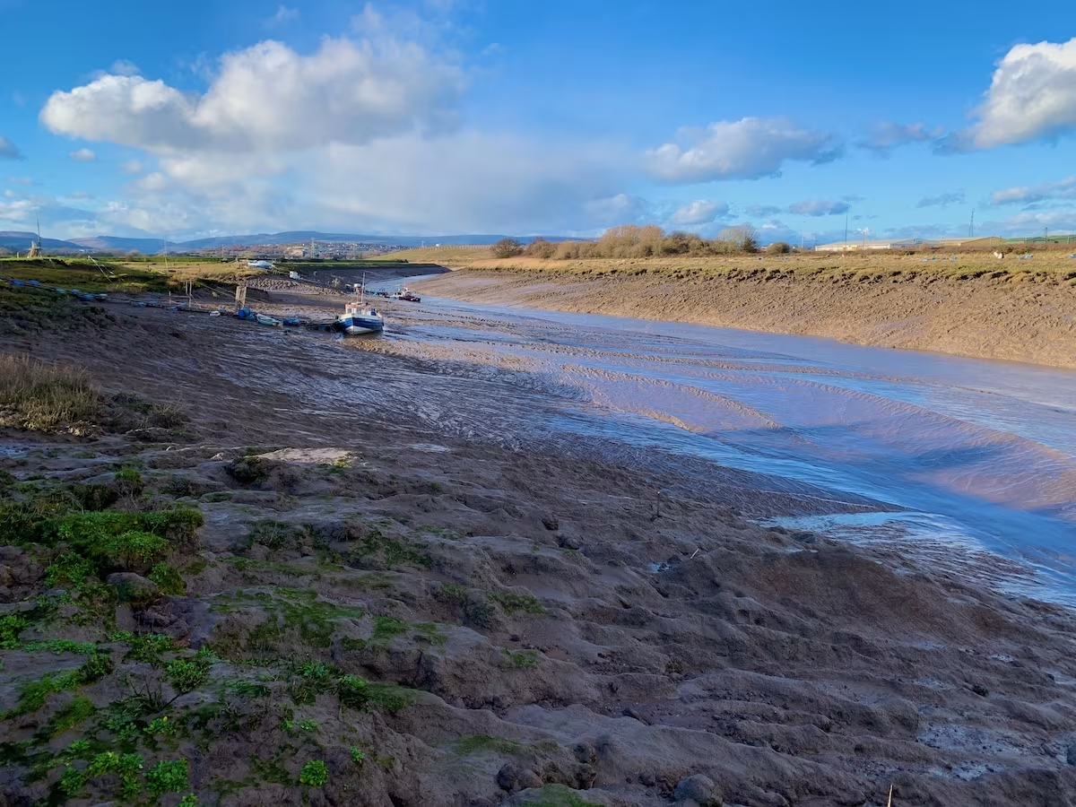
The tide was now almost totally out and both rivers were flanked with large banks of estuarine mud.
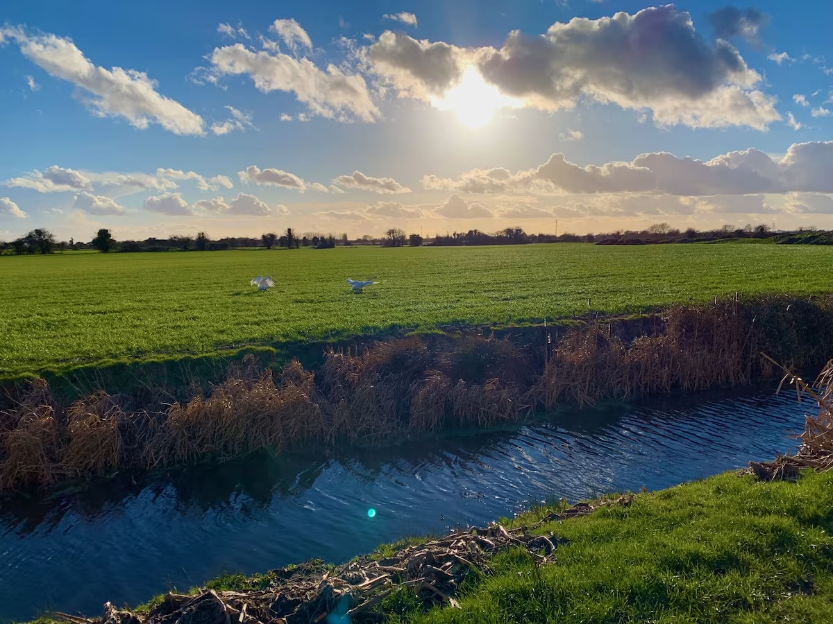
As we headed up the embankment running along the West bank of the River Ebbw, I heard the clatter of wings to my left and turned to see 2 swans landing.
With about a mile left, we finally left the sea wall which had been our trusty platform since we had joined it near the start of the route at Peterstone.
The map told us that this road leading up towards Duffryn was called ‘Heol-Pont-Y-Cwcw’ which in English means ‘Cuckoo Bridge Road’. I always knew I’d go cuckoo one day.
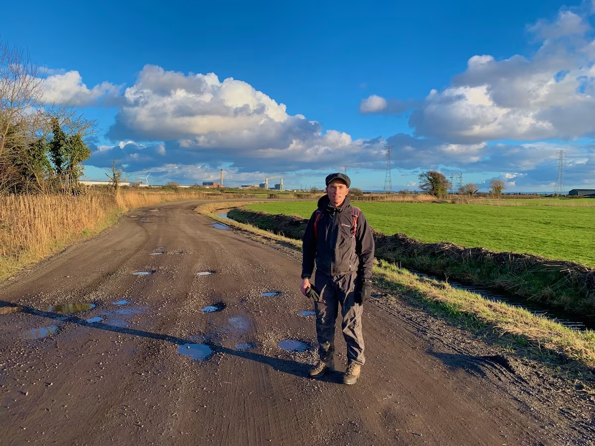
The track went up on a bridge over the main rail line in South Wales. We looked South for a final look back over the flat lands of the Wentlooge Levels.
We descended the other side down into the suburban street scene of Duffryn, Newport where we had parked my car.
We finished at about 16:30, having started the walk at about 12:00. It was about 6 miles, not exactly an athletic pace but as usual we’d been enjoying the scenery. Also, we’d stopped about 45 minutes for lunch and also for about 40 minutes for a drink at the Lighthouse Inn.
3. LOGISTICS
We took 2 cars and left one at either end of the walk to save having to double back. 6 miles was a good distant for us, we are not as young as we used to be!
We left one car parked in a housing area in Duffryn very near to the end of the walk. The area was a housing estate which seemed like an Ok place to leave your car.
At the start of the walk in Peterstone, we parked nearby where the footpath leads down past Duffryn church. We parked in a cul-de-sac just East of the church.
In terms of public transport, there do not appear to be any bus links in between Newport and Peterstone. So, if you only had one car, then I’d suggest that you could leave your car in Newport somewhere and get a taxi to Peterstone and walk back.
4. THE WALES COAST
I originally planned to hike all of the Wales Coast. Then I planned to split it into sections that I’d hike, sections I’d cycle and sections that I’d kayak.
Finally, as I became more addicted to kayaking, I decided to kayak all of the Wales Coast.
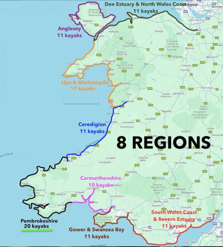
This section on the Wentloog Levels falls within what I’ve categorised as the ‘South Wales & Severn Estuary’ section of the Wales Coast. I have created sub-categories in the Wales Coast section of my website for each of the 8 regions.
While in the past I’ve hiked about a third of the Wales Coast, I’m now focusing on kayaking it and have paddled over half of it.
5. SUMMARY
This was a great Winter walk on an interesting section of the Wales Coastal Path with almost unbroken views from the elevated sea wall across the Severn estuary and the Wentlooge Levels.
This is my video of this walk on my Youtube channel below:
If you want any more information about it or about kayaking, hiking or cycling the Wales Coast or other rivers and coats generally then please comment below or email me at info@kayakcrew.co.uk