
CONTENTS
- Date, Distance & Map of Route
- Weather & Tide Times
- The Laugharne to St Clears circular kayak
- Logistics
- Dangers & Issues
- Kayaks used
- The Wales Coast
- Summary
1. Date, Distance & Map of Route
27th August 2022.
Launched from Laugharne at 17:15. Landed at St Clears at 19:15. 2 hours paddling.
About 5.5 miles paddling.
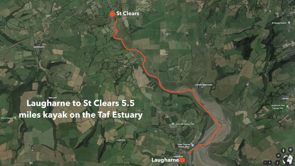
Note that this is the ‘Taf’ estuary in South West Wales – not the similarly sounding ‘Taff’ river which flows through Cardiff in South East Cardiff. Further, I would preamble this post be stressing that it can quite easily be done as a round trip of about 11 mile from Laugharne to St Clears and back since the tidal flow will assist you significantly.
2. Weather & Tide Times
Weather wise, it was a very hot day with highs of about 23 Celsius and with light winds of about 6-7mph from the West.
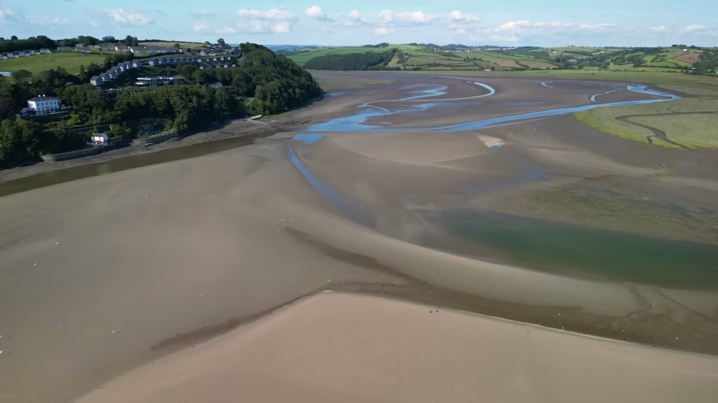
At 15:30 even the water level in estuary was still very low and we realised that we’d have to kill some time before the tide would be in enough for us to be able to launch so we went for a walk around Laugharne.
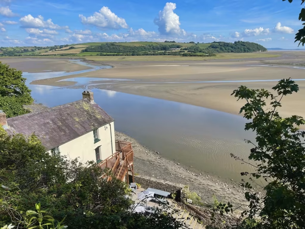
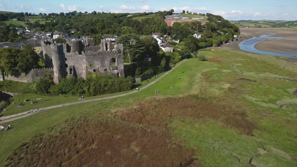
On the bright side, Laugharne is a lovely village to stroll around, with a great castle, quaint streets and of course Dylan Thomas’ Boathouse.
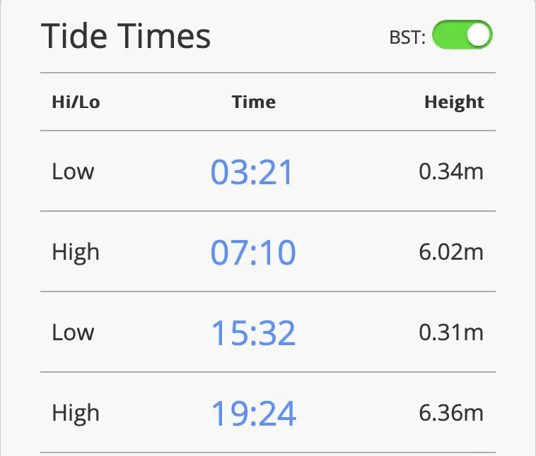
Using the tide times for nearby Ferryside (which are roughly the same as Laugharne), we have since realised that it was low tide at 15:32 so we were a bit ahead of ourselves which explained why the tide was still so low.
As you can see, the tide times on the Taf estuary are a bit irregular, with it taking over 8 hours for the tide to go out but only 4 hours for it to come in at times.
This was a fairly high tide, being towards the top quarter of the tidal range.
3. The Laugharne to St Clears kayak
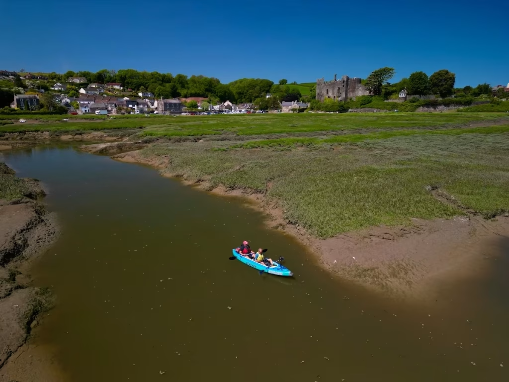
We launched from a footpath which runs up past Laugharne Castle towards Dylan Thomas’ Boathouse at about 17:15, by which time the tide had come in enough for us to launch. This was just under 2 hours after low tide.
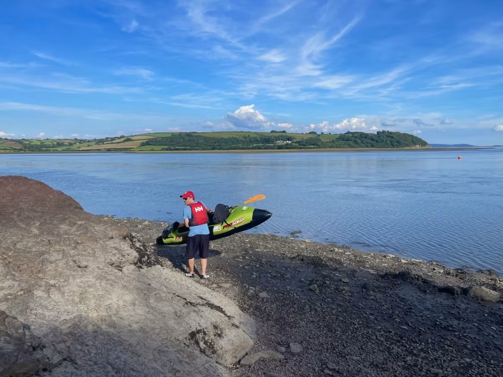
Dai launched first and his kayak quickly slid upstream carried by the incoming tide which was running at a few mph.
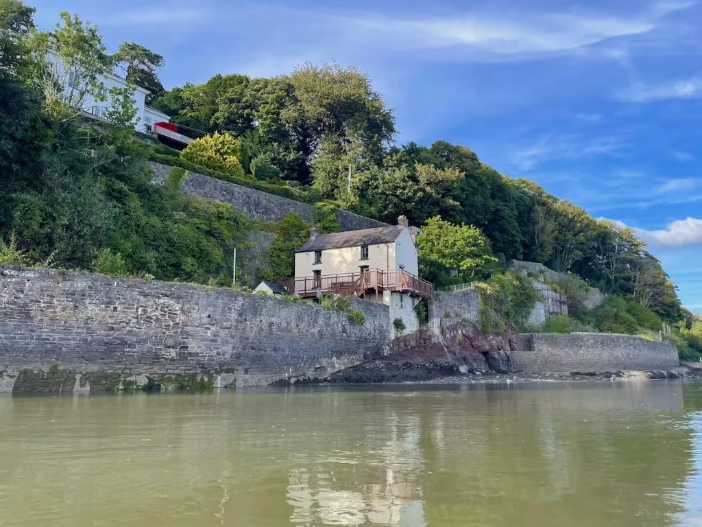
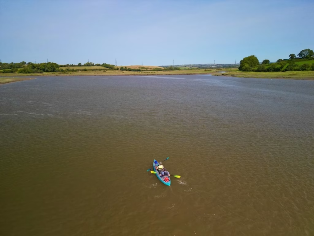
The Taf Estuary is very wide at Laugharne (when the tide eventually comes in!), with the main channel flooding out the sandbanks to a width of about a mile or so.
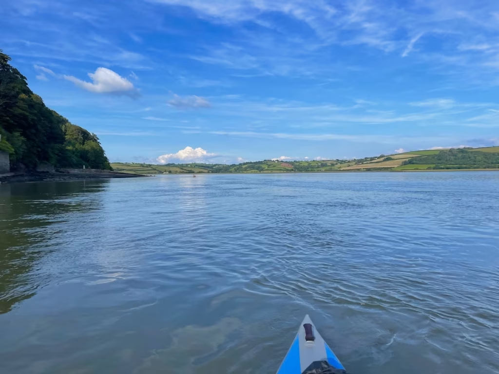
We glided upstream quite fast, assisted by the incoming tide.
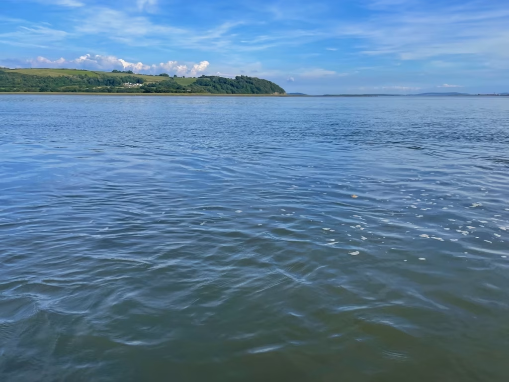
The scenery was stunning, with rolling hills flanking the estuary on both sides. Carmarthenshire certainly is a beautiful county.
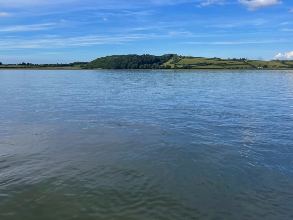
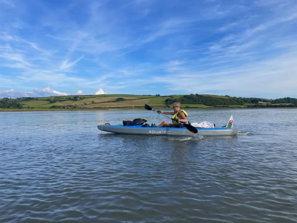
After about 30 minutes from launching and about 2 miles upstream from Laugharne, the estuary suddenly seemed to narrow from being almost a mile wide to less than half a mile wide.
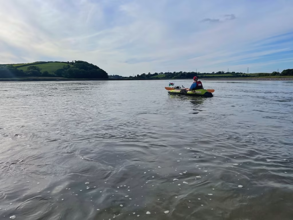
The moo’ing of cows, the honking of geese and the lilting call of waders provided us with a soothing soundtrack as we paddled up the peaceful Taf estuary.
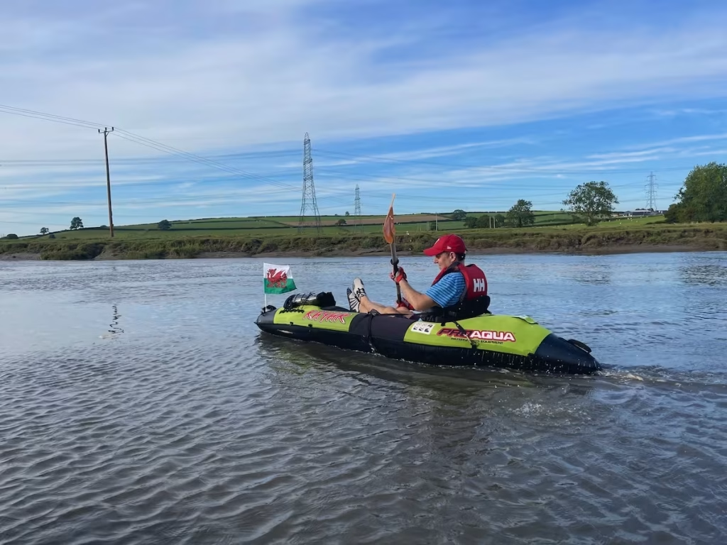
We were taking our time, only paddling intermittently, since the incoming tide was clearly carrying us upstream even when we were not paddling. After an hour we’d gone almost 3 miles from Laugharne with about 2.5 miles to go to St Clears Boat Club.
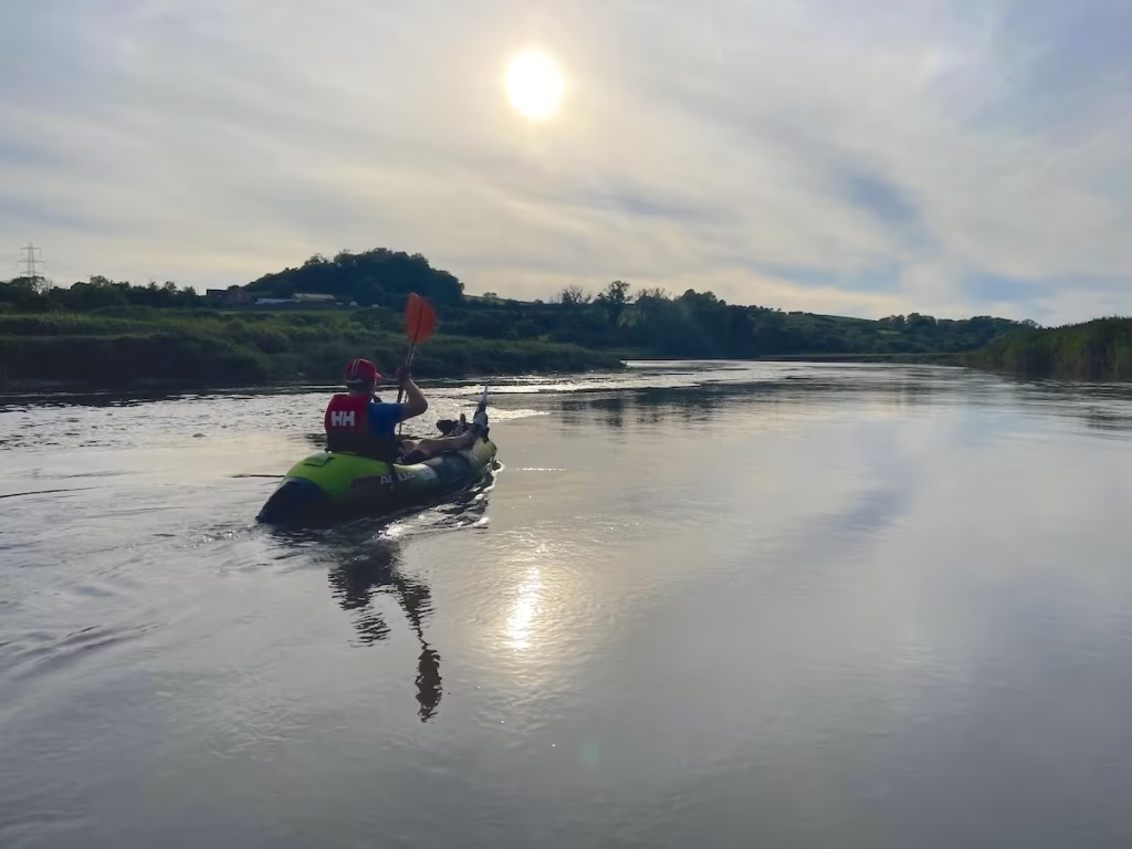
St Clears loomed into view upstream on the horizon.
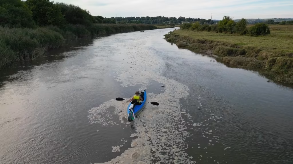
As you can see from the photos, a slick of sludge like foam trailed down the river which at the time was a bit worrying. I did speak to some friends who work in the environmental field about this afterwards and sent them the photos and they said that it was ‘algal bloom’, which can often occur during hot weather in the late Summer.
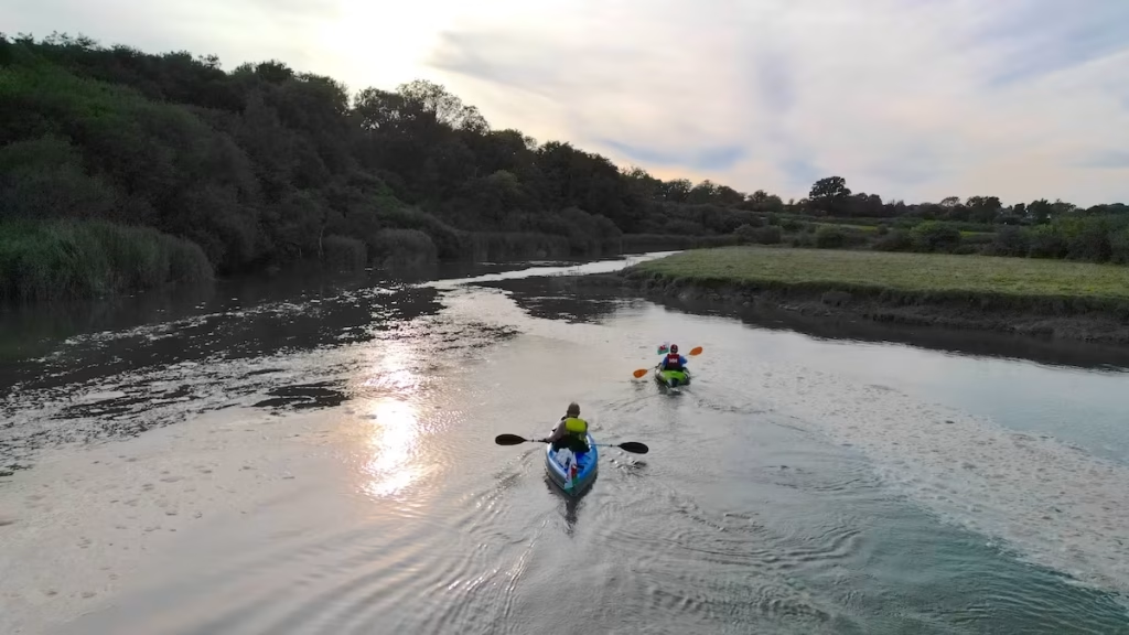
Suddenly and unexpectedly, a motor boat came speeding down the river towards us. We tucked into the bank and the boat thankfully slowed down as it passed us. It must have come from the boat club at St Clears, which was where we were heading to.
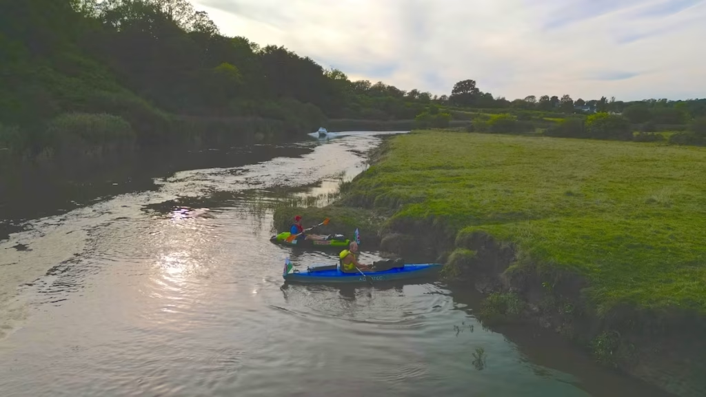
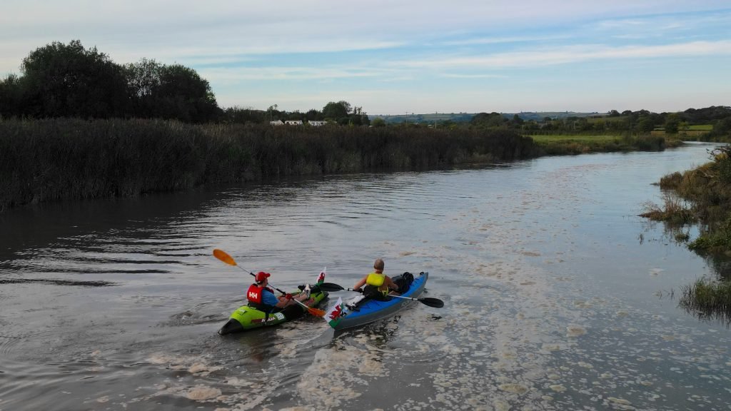
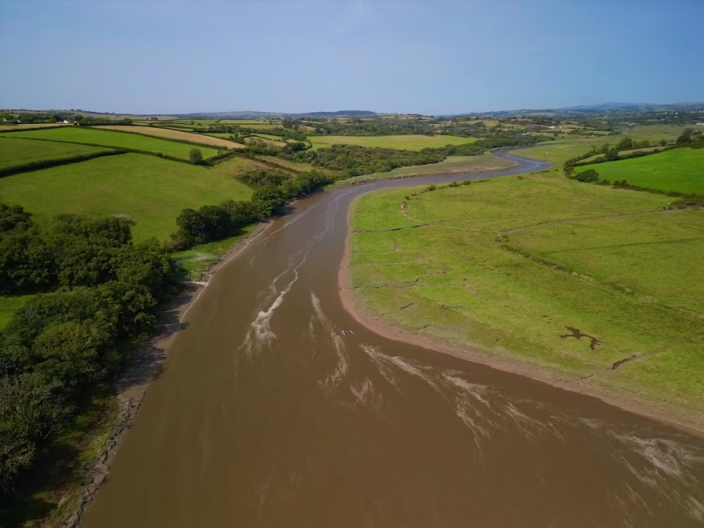
For the last 2 miles or so up to St Clears, the river was mostly about 70-100 meters wide and was flanked open either side by lush pastures. It was a lovely paddle through peaceful scenery.
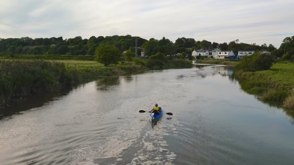
At 7pm, we of Southern end of St Clears.
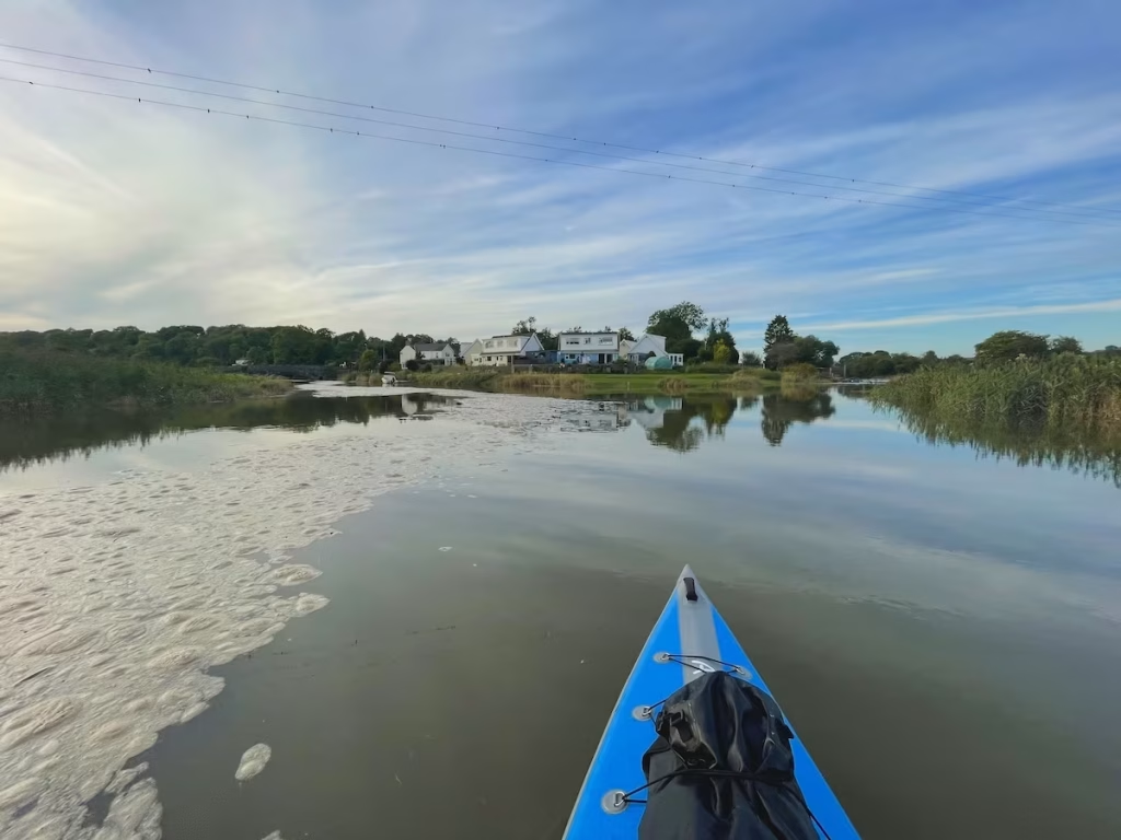
St Clears Boat Club is on the Southern end of St Clears, on the Afon Dewi Fawr, which can be seen forking off to the right from the Taf River on the below photo.
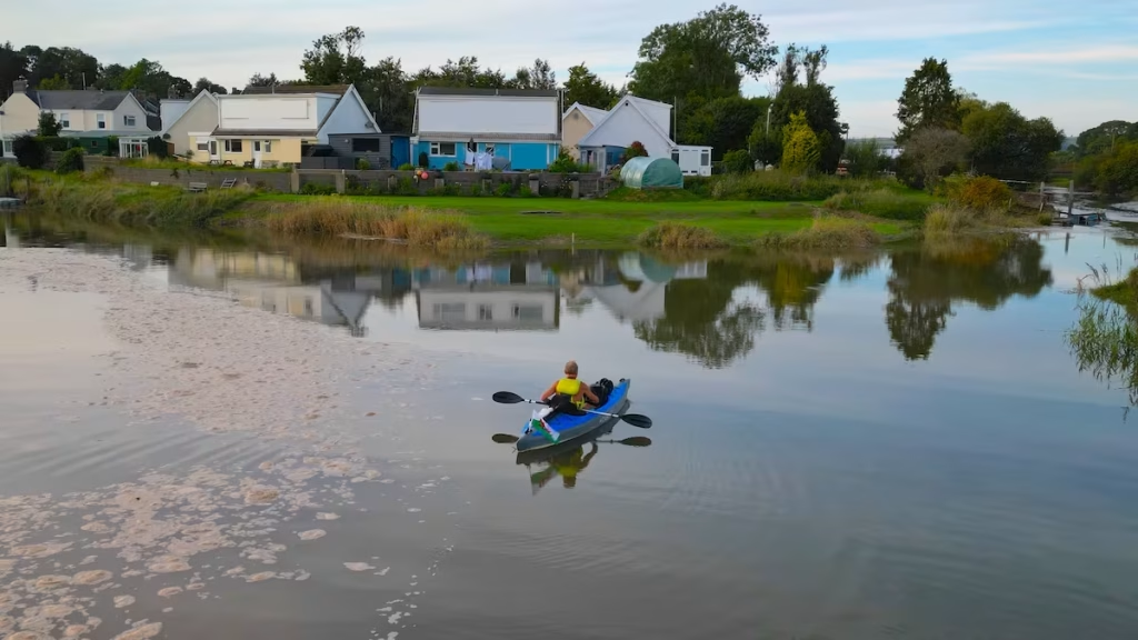
We forked left and paddled upstream the Taf River for a few hundred meters past the road bridge before turning around and heading back downstream.
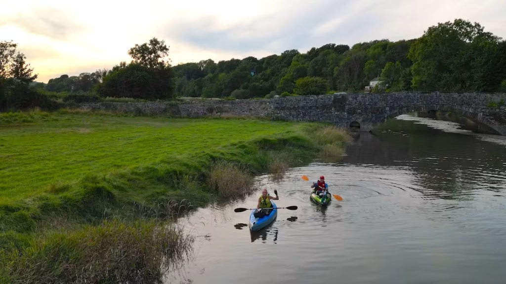
On a very high tide, based on the map it looks like you can go a couple of miles upstream from St Clears towards Whitland to the top of the tidal range. I’ll have to try it one day.
We came back downstream a bit, turned off the Taf River into the Afon Dewi Fawr and headed up the final straight towards St Clears Boat Club.
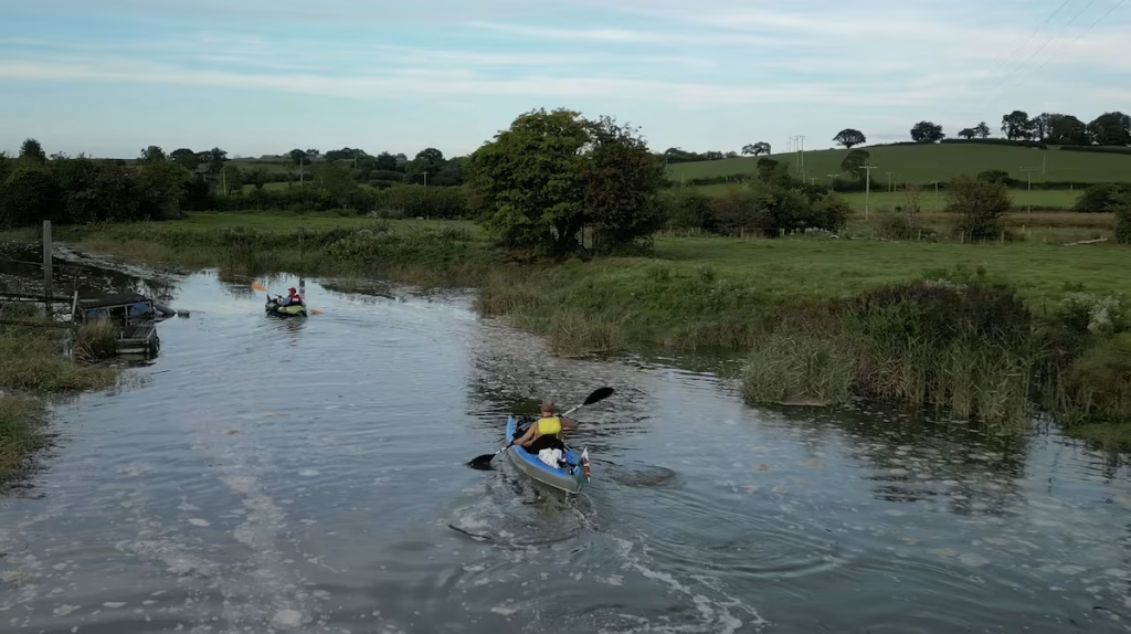
It was about 19:15 as we came up to St Clears Boat Club. We noticed that the tide seemed to have just started to turn and the water was already starting to flow downstream although only slowly
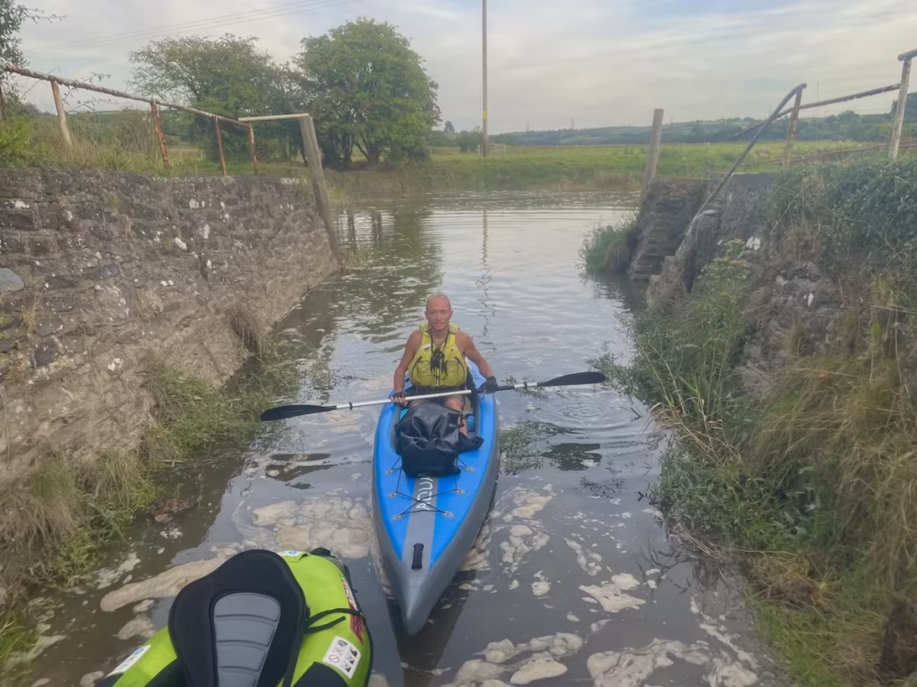
The 5.5 miles paddle has taken us about 2 hours. We’d taken our time enjoying the scenery and flying the drone had slowed us up a bit too.
4. LOGISTICS
Dai and I both took our cars, so Dai left his car in the parking spot near to St Clears Boat Club and I parked mine at the car park below the castle at Laugharne.
We both had inflatable kayaks so we were able to fit them both into the boots of our respective cars.
St Clears (‘Sanclêr’ in Welsh)
I had contacted St Clears Boat Club’s Facebook group a couple off days before to ask about whether permission was required to land/launch there. They replied saying that “the slipway is open but very deep in mud. You might be able to use the pontoon nearest the slipway but it would be best to scout it out before your trip”.
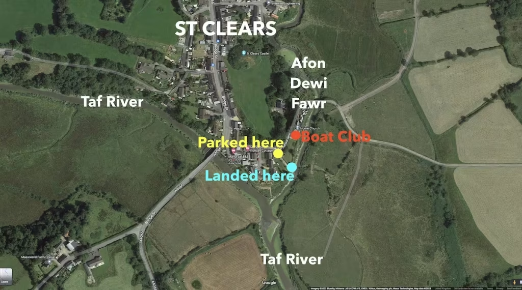
We got to the slipway at the Boat club at high tide so there were no problem with mud.
However, it’s very tidal at St Clears and when I’d earlier called at the boat club to meet Dai at about 1pm, it was near low tide and the slipway was very muddy and not accessible.
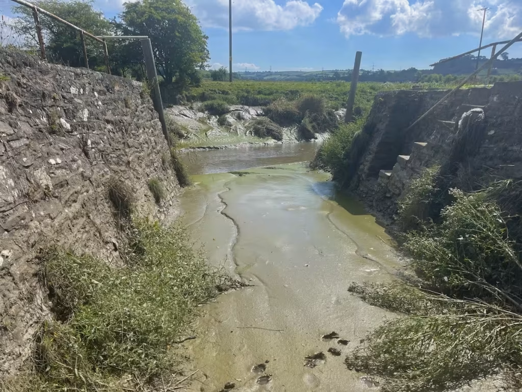
So, if you are landing/launching at St Clears Boat Club then it ideally needs to be within an hour or so of high tide, it seems. In addition to the slipway, there are also pontoons at St Clears Boat Club but even they looked inaccessible due to mud at low tide, though they would have been usable nearer to high tide.
Laugharne
At Laugharne, our originally planned launch spot was the inlet of the Coran River just below the castle. However, there was not yet enough water to launch into it so we decided to walk along the path which runs between the castle and the estuary and launch straight onto the main channel of the estuary about 300 meters upstream.
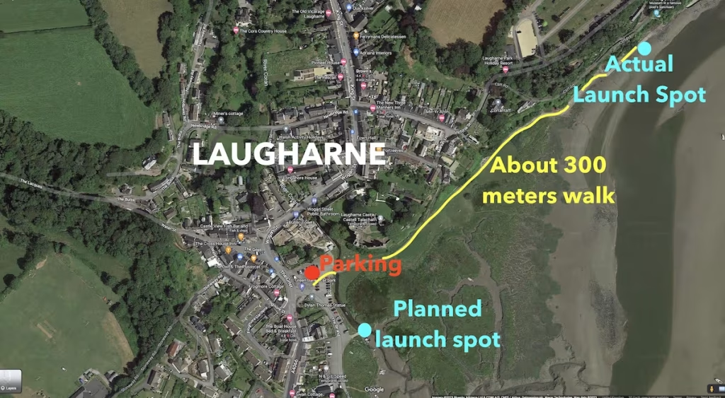
It seems that the Coran River inlet below the castle can be used as a landing or launch spot from Laugharne but only it seems within 1 hour before high tide and 2 hours after high tide.
We did launch from the Coran River inlet on a later trip when we paddled from Laugharne downstream and along the coast to Pendine.
Public Transport
If you only had 1 car and wanted to use public transport, then Bus 222 operated by Taf valley Coaches runs between Laugharne and St Clears.
You want the ‘Lower St Clears’ stop since the main part of St Clears is about a mile North of the boat club
5. DANGERS & ISSUES
You have to get the tides rights!
You have to ideally launch from Laugharne about 2 to 3 hours before high tide with a view to getting to St Clears near to high tide.
Also, you need to go with the tide on the Taf estuary, be it upstream or downstream. It flows quite strongly, maybe between 2mph to 4mph, so you would really struggle to try to paddle against it. The higher the high tide the better in our view, since you will have more water in the estuary and more assistance from the tidal flow.
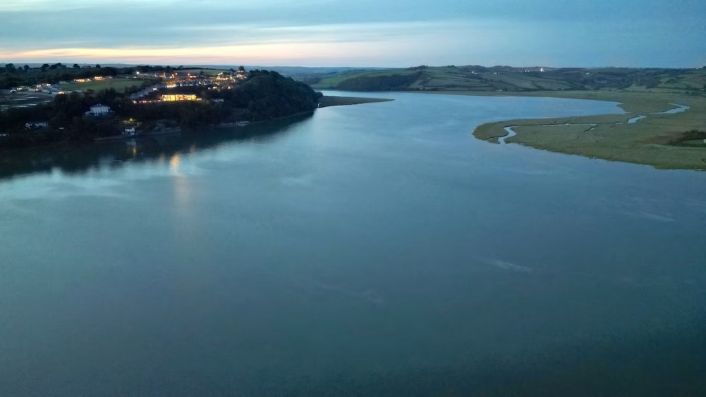
You should also be able to land at St Clears within an hour or so of high tide to ensure you can land at the Boat Club slipway/pontoons.
Like a lot of estuaries, the Taf largely empties 2 hours or so either side of low wide with the result that much of the estuary become sandbanks and mud.
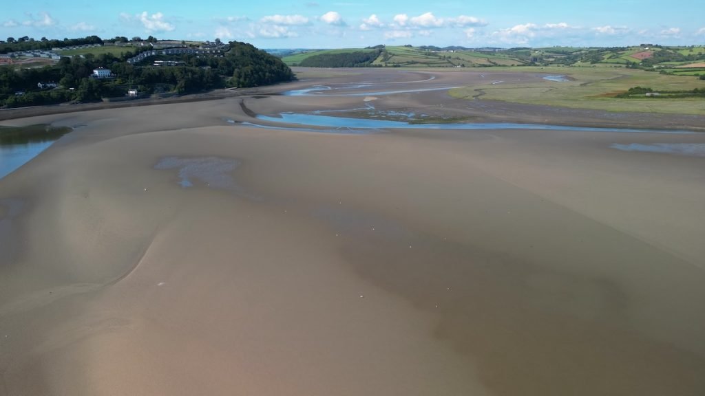
As advised in my Guide to estuary kayaking blog post and Youtube video, it’s therefore best to only paddle estuaries within 3-4 hours either side of high tide.
The tides on the Taf estuary are a bit unusual in that:
(a) the low tide is apparently NOT the usual 6 hours after the previous high tide, but about 8 hours after it, and
(b) the following high tide is only 4 hours or so after the previous low tide.
Tidetimes.org does not specifically have a tide time for Laugharne, but if you look up the tide times for Ferryside, they are almost the same as for Laugharne (although Laugharne tide times are a little earlier it seems).
6. KAYAKS USED
On this trip, I used a an Aquatec Ottowa full drop stitch inflatable kayak.
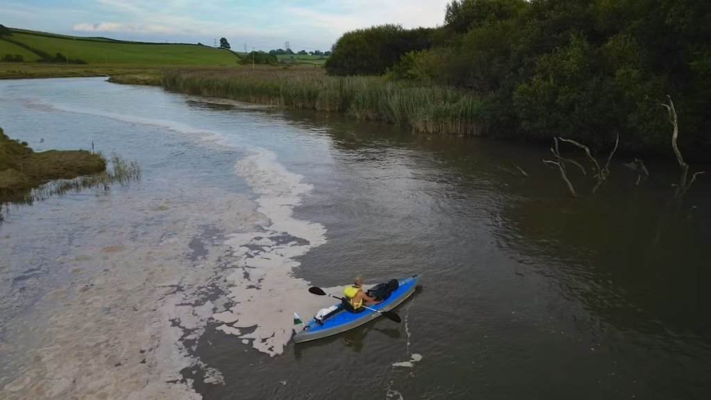
The drop stitch construction means that the kayak can be inflated to about 10-12 PSI which makes the hull, floor and decks very firm. Check out my blog post Review of the Aquatec Ottowa kayak together with my Youtube video review and also my Youtube short review of it.
Dai used a ProAqua inflatable kayak, which is a ‘Category 2’ kayak being made from vinyl bladders covered with a protective nylon outer layer.
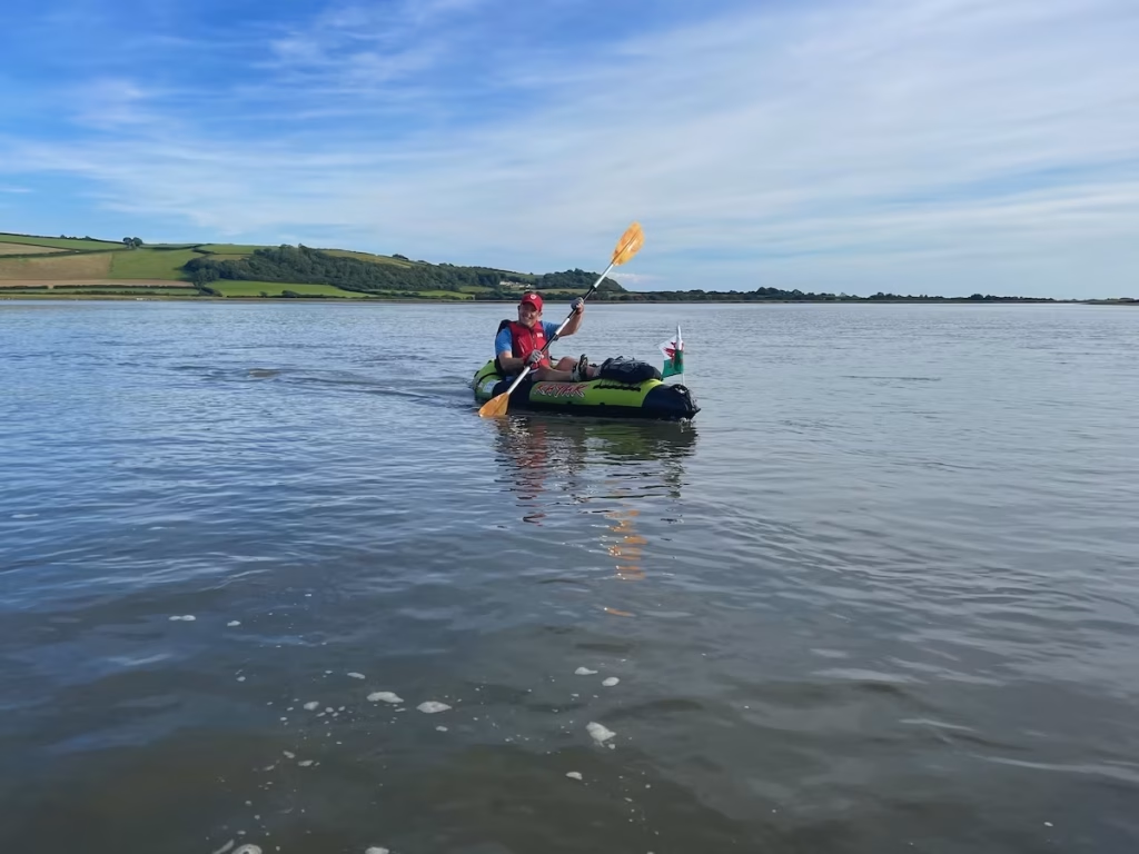
The Pro Aqua kayaks were sold by Clas Ohlson but they have been discontinued for a while we believe.
Check out my Guide to Buying and Inflatable Kayak blog post and YouTube video in which I explain the different types of inflatable kayak and which ones may be best suited to the type of paddling you do.
7. THE WALES COAST
While this trip was of course on an estuary, it technically falls within our undertaking to kayak every section of the 870 miles or so of the Wales Coast.
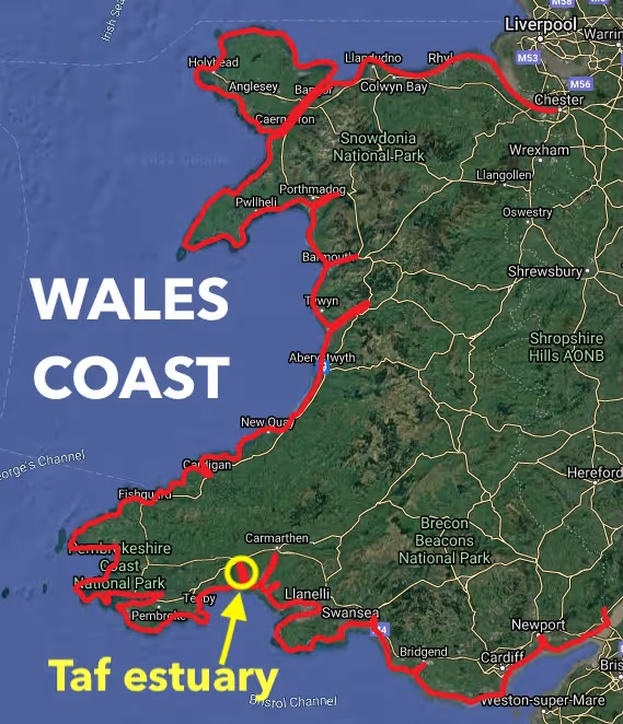
It is a huge undertaking and I am breaking it up generally into kayaks of between about 5 miles and 14 miles.
The Taf estuary is one of 4 estuaries on Carmarthen Bay.
8. SUMMARY
This was our first paddle on the Taf estuary and it was amazing.
Laugharne is a great place to start or end a paddle, with the impressive castle, Dylan Thomas’ boathouse and the quaint winding streets of the village.
As long as you are able to paddle the distance, then a perhaps better option is to paddle from Laugharne to St Clears and back as a circular route of about 11 miles. This is what we did on a later date, paddling upstream with the incoming tide and downstream with the outgoing tide.
If you have any questions then please comment below.
The link to our Youtube video of this trip is below:
ƅookmаrked!!, I like your website!
Enjoyed looking at your trip up the Taf. Shame about the algae bloom near St Clears. I was interested in the heron dodging the powerlines – was it flying very close to them?
Thanks. It’s a nice estuARy to paddle, hope to try paddling further up from St Clears on a Spring tide some time. I can’t really remember how close the heron was to the power line tbh, it was a while ago that we did that paddle. Very common to see herons paddling the rivers and estuaries
I have been looking for a review of this route as we are staying in the resort on the bank above Dylan’s boathouse next week. We are new to paddling but my Husband and I are reasonably fit and strong. We also have a lot of experience in water having both been rowers for a long time. We are paddling in a drop stitch boat and have all the correct safety equipment etc. Would you recommend this route for reasonable novices with a nine year old in tow?
Hi, yes, the Taf estuary is a relatively sheltered estuary. It’s quite wide down by Laugharne but about 1.5 miles upstream it narrows quite rapidly and much of it up towards St Clears is only about 100 meters wide or even less. I suggest using the tide times for Ferryside. Next week, the high tide times seems to be around later morning creeping later into the early afternoon later in the week. The height of the high tide will start to drop day by day but it’s still a reasonably sized tide even by Thursday/Friday.Suggest you launch about 2 hours before high tide, paddle upstream with the incoming tide then back down with the outgoing tide (about 4 hours round trip). I think it will be suitable for you and your 9 year old, it’s less more sheltered than many of the estuaries I’ve paddled. If the wind is >15mph then I’d still give it a miss though, won’t be enjoyable and may ruffle up the water a lot on the lower section. The only thing I’d mention is that the banks are quite muddy most of the way up so you won’t be able to get out other than maybe up past St Clears (if you get past there). Suggest you park in the car park by Laugharne castle. You’ll have to carry or trolley your kayak about 250 meters up the path besides the castle to the embankment where you can launch onto the estuary. The current will be running 2-3mph with the tide but will start going slack about 30 mins before high tide. https://www.tidetimes.org.uk/ferryside-tide-times-20260806