
CONTENTS
- Date, Distance & Map of the Route
- Water Levels & Weather
- The Ynystawe to Swansea Kayak
- Logistics
- Dangers/Issues
- Kayaks used
- Summary
1. DATE, DISTANCE & MAP OF THE ROUTE
13 September 2020.
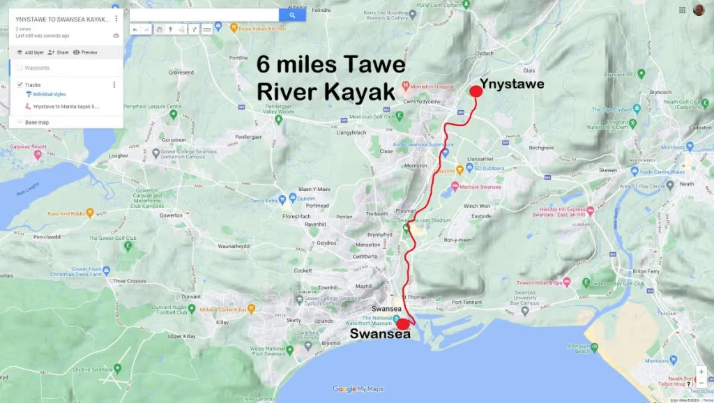
Launched about 13:00 from Ynystawe Park. Landed at Swansea Yacht Club at about 17:15
6 miles route.
3 hours paddling. 1 hour, 15 mins portaging and lunch break.
The paddle was about 6 miles long from Ynystawe Park down to the Yacht Club at Swansea Marina.
2. WATER LEVEL & WEATHER
It had been relatively dry for a week or so before our kayak and the water levels were therefore fairly low in the river. According to the 2 gauging stations along the route, the water levels were as below on the date of our kayak:
- Ynystanglws gauging station – 0.49 meters
- Morfa gauging station – 3.16 meters
The reason for the difference is that the Ynystanglws gauging station is that the Ynystanglws gauging station is about 4.5 miles upstream from the Morfa gauging station.
It was a sunny, warm day with a high of about 20 Celsius and winds from the South West of about 17mph.
4. THE YNYstawe to swansea kayak
We launched about 50 meters upstream from the bridge at Ynystawe at just before 13:00.
We passed under the bridge at Ynystawe Park and paddled downstream along a relatively shallow and at time fast flowing Tawe River.
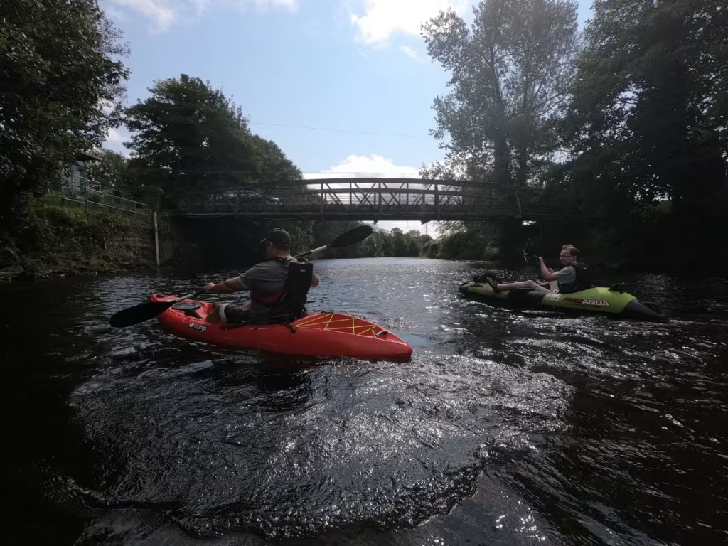
There were 5 members of us out for this paddle – Archie, Dai, Ewan, Ethan and myself. We were all using Pro Aqua inflatable kayaks apart from Archie who was on his quite newly acquired Tootega Kinetic 100 hard shall sit on top.
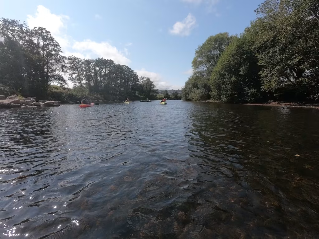
We passed under the bridge that carries the M4 over the Tawe.
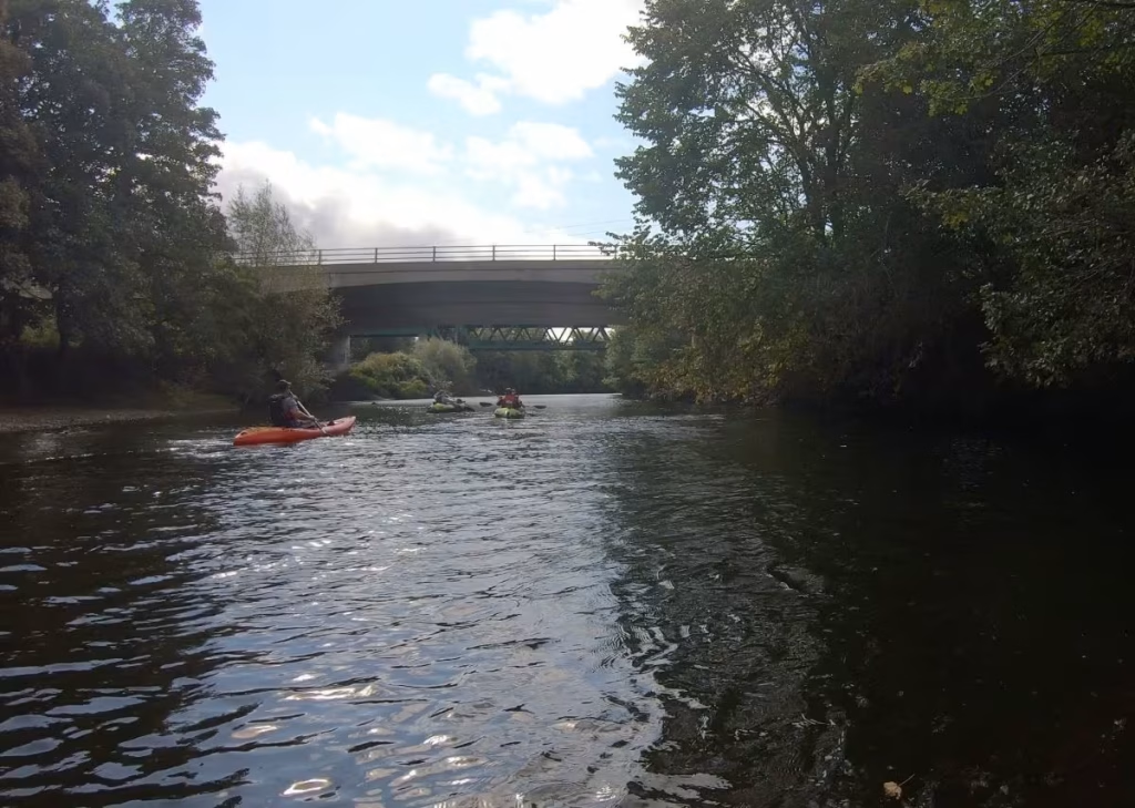
Not far downstream from the M4 bridge, we came across a point where the river narrowed to a shallow funnel of fast water with a large fallen tree partially obstructing the channel on the East bank.

I almost broke one my wrists when I misjudged how fast the water was an ended up having to fend off the trunk of the fallen tree to save my kayak from being dashed against it. It reminded me why we do not do white water kayaking.
Downstream of Ynystawe, we paddled through a few quite shallow, fast flowing sections of the river which included a partial weir of sorts. Not exactly white water kayaking, we were more concerned with bottoming out or hitting rocks underneath the water.
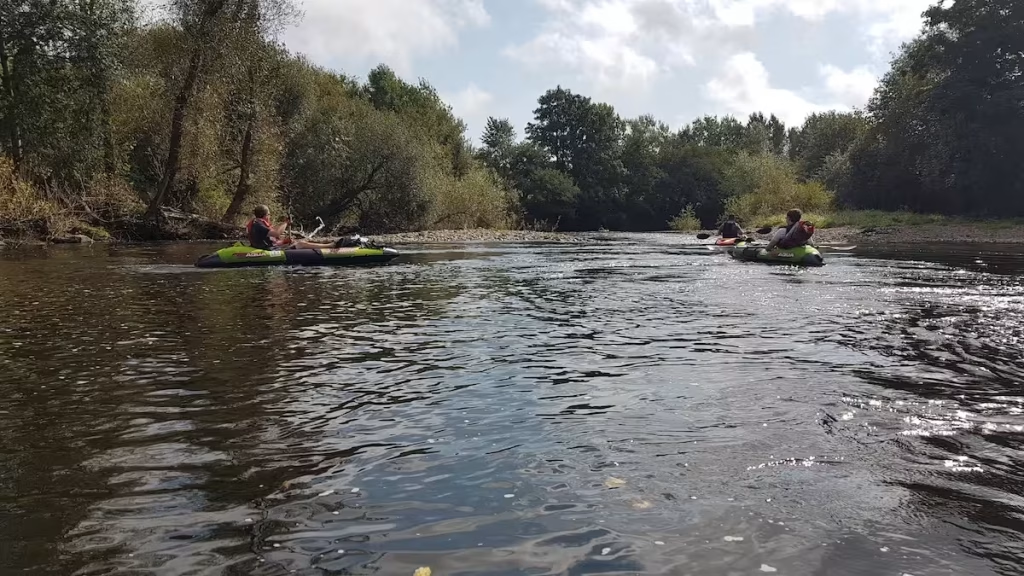
The river then opened up again into a deeper section as we neared almost 2 miles along the route on a section of the Tawe sandwiched between Llansamlet to the East and Morriston to the West.
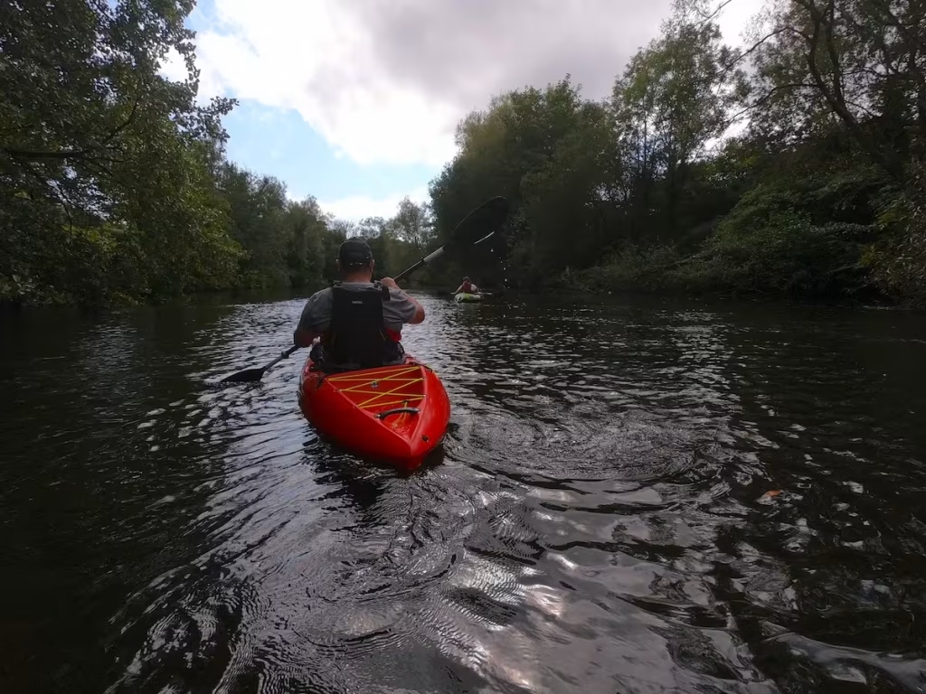
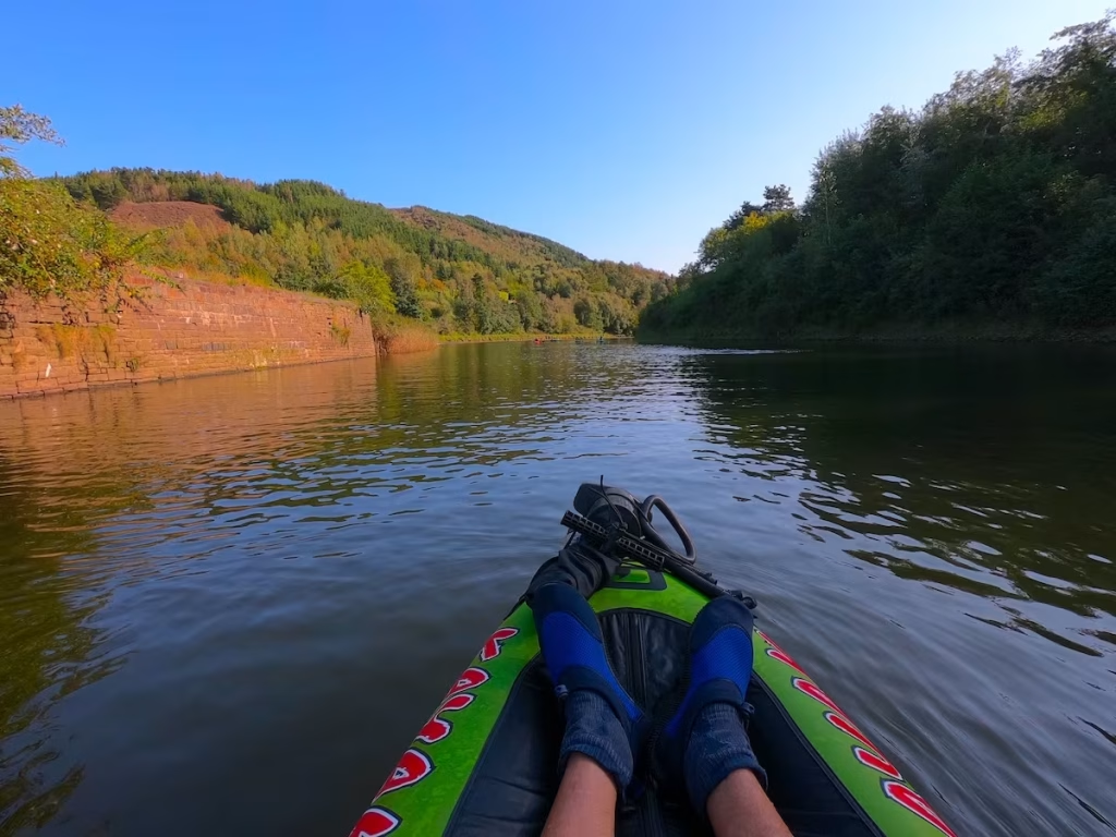
This section was very pleasant and similar to the upper sections of the Wye in some ways. Despite the fact that we were paddling through the Eastern suburbs of Swansea, the tree lined banks and the fact that much of the terrain on the East bank comprised parkland gave it a semi rural feel.
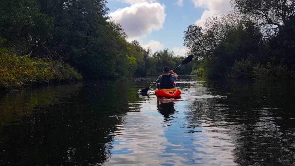
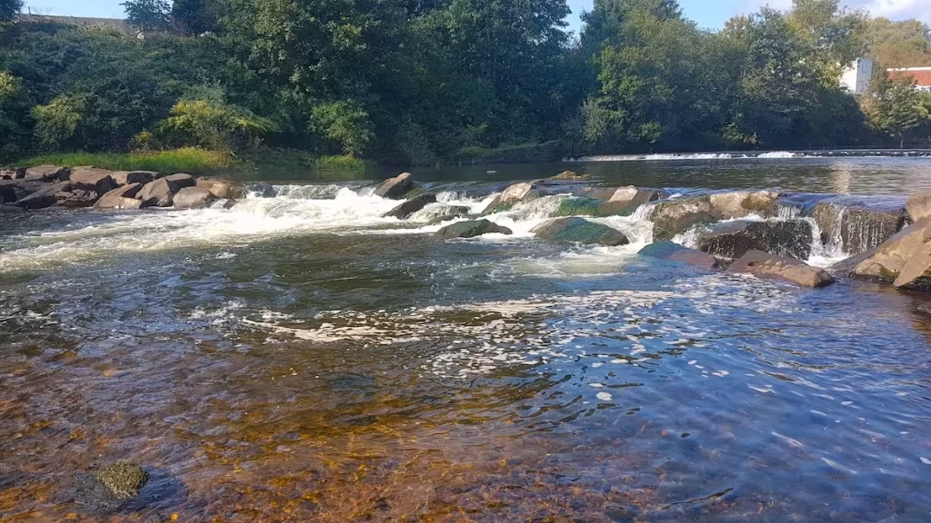
We were now about 2.5 miles along the route and came upon the 2 big weirs which we knew were on the river at this point. We were not brave enough to kayak over the weirs so we got out onto the bank via a platform and carried our kayaks along about 50 meters of the riverside cycle track in order to get around the 2 weirs.
I know that many white water kayakers will scoff at us portaging around the weirs rather than over them but we decided to err on the side of caution.
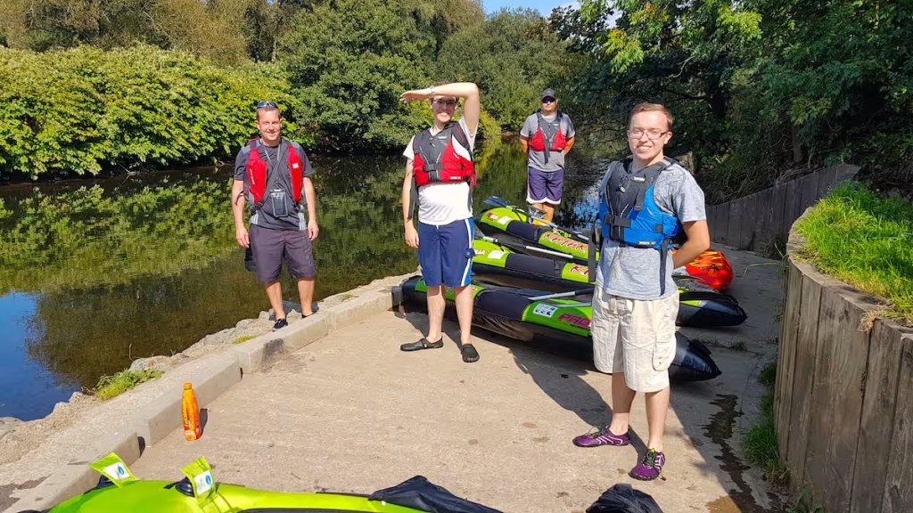
After carrying our kayaks along about 50 meters of the riverside cycle track to go around the 2 weirs, we decided that it was an opportune moment to stop for lunch just below the weirs before we set off again.
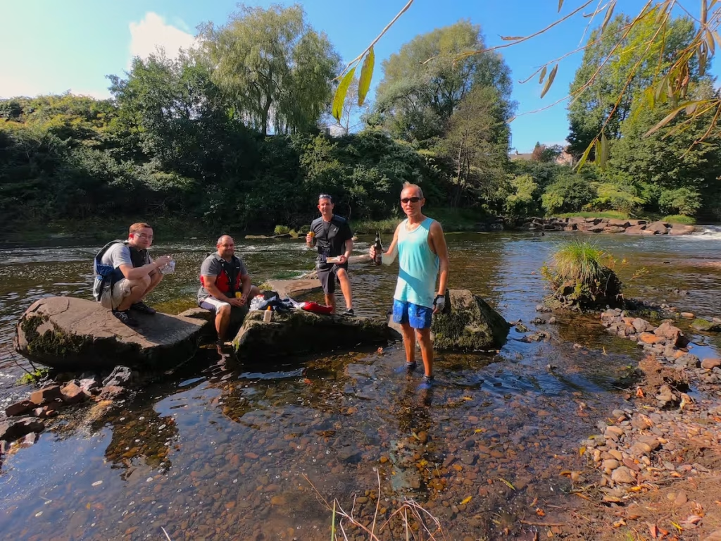
Feeling refreshed after our lunch and cider stop, we headed off downstream again. We soon passed under the Beaufort Bridge which is near to Fendrod Lake in Llansamlet. I had cycled and walked over this bridge numerous times in the past but this was the first time that I had paddled underneath it.
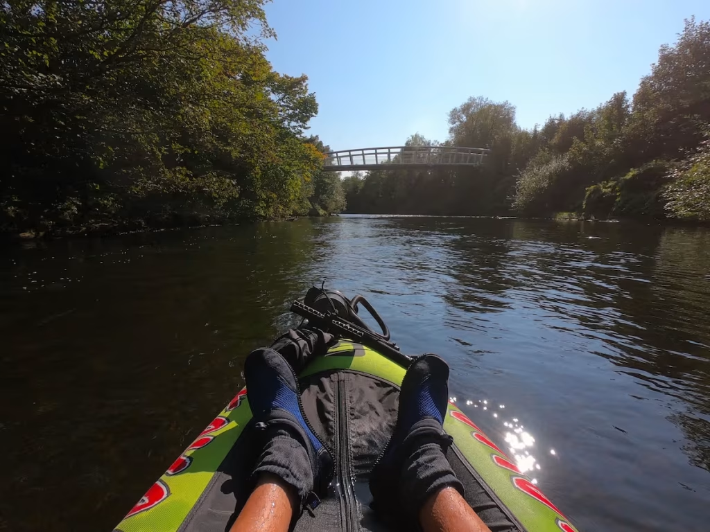
We were now about 3 miles along the route so roughly halfway to our destination at the Yacht Club at Swansea Marina.
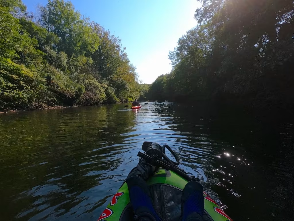
As with the Taff River in Cardiff, much of the Tawe River is flanked by parkland and landscaped terrain, so both rivers present a surprisingly rural setting to paddle through.
We came upon the tall bridge which carries the main rail line over the Tawe River. If you ever get a train to Swansea, then you will pass over this shortly before you arrive at Swansea train station.
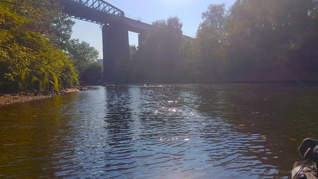
Downstream of the 2 weirs we’d passed earlier, the river had been gradually getting wider and deeper and we’d encountered no more shallow, rapid sections once downstream of those weirs.
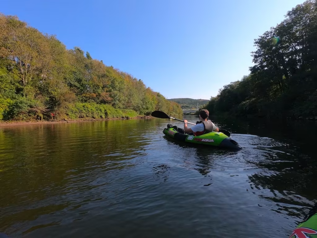
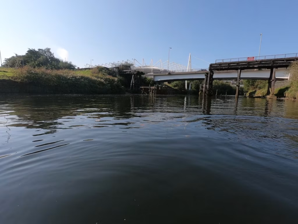
We were now about 4 miles along the 6 miles route as we passed by the Liberty Stadium, home of Swansea City football team.
This residential development alongside the river at Morfa is known as ‘Copper Quarter’, testimony to the history of the copper industry which once dominated this part of Swansea.
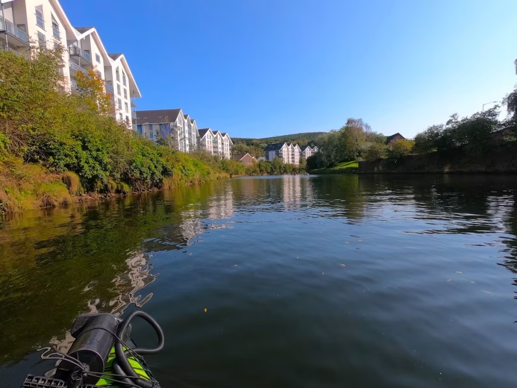
By 1850 eleven major copperworks had been established on the banks of the River Tawe, and for a time they produced over half of the world’s total output of smelted copper. Such was the importance of this industry that Swansea became known as ‘Copperopolis’.
We passed by the Musgrave Engine House on the East bank which was once part of the Hafod-Morfa copper works.
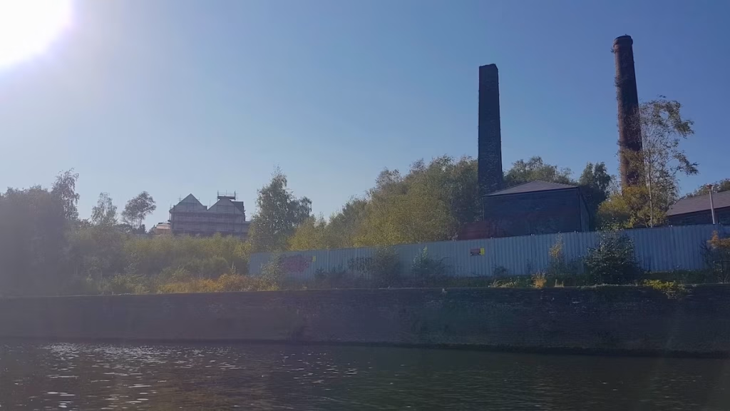
The Hafod-Morfa Copperworks was fed by coal brought down the canal from mines in the upper Swansea Valley while copper ore was brought up the Tawe River to feed the furnaces of the works. Swansea became an industrial seaport of world importance based upon the copper industries which grew up in this part of East Swansea.
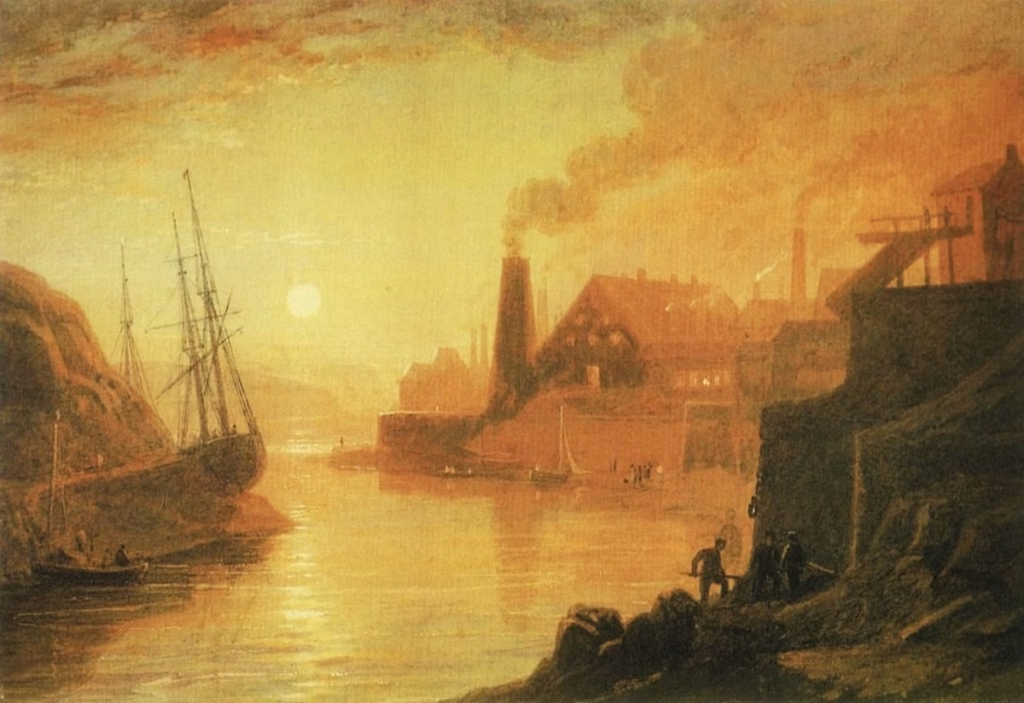
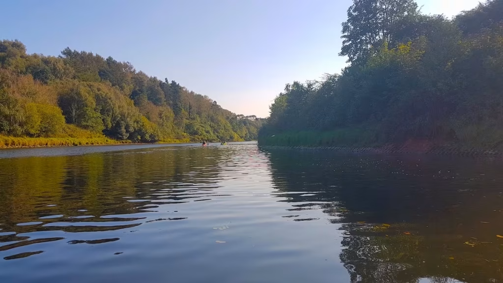
Its hard to image the industrial buildings lining the banks and belching out some and fumes when you paddle this tree lined section of the Tawe these days. A lot of work certainly went into rejuvenating this former industrial area.
Downstream from Hafod, we came across some strange plumes of foam and bubbles in the water. Presumably caused by pumps installed to help oxygenate the water in the river.
There was now only about a mile to go to Swansea Yacht Club as we continued downstream from Hafod.
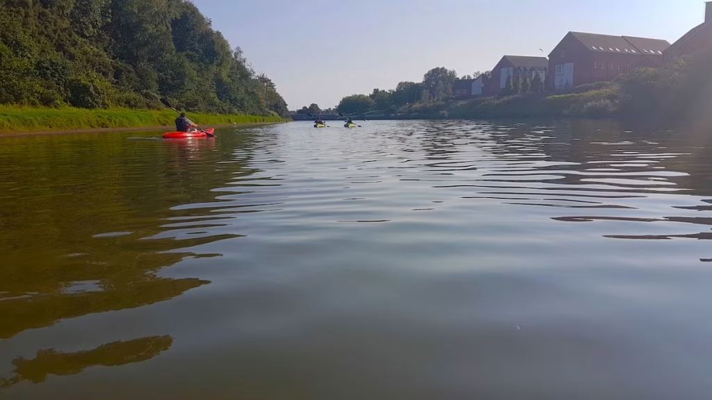
The main road bridge carrying Fabian Way into Swansea loomed into view.
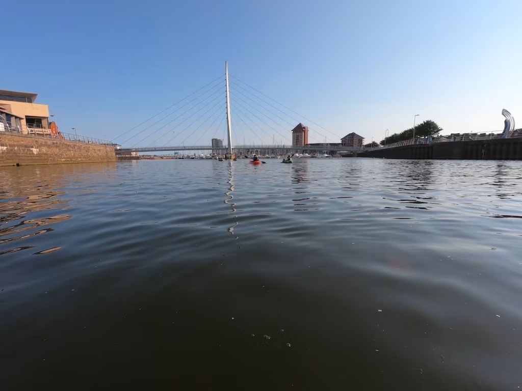
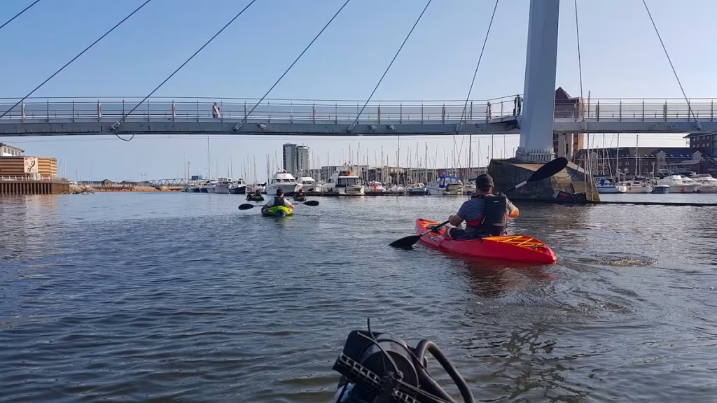
As we passed under the road bridges, Swansea Marina with it’s armada of yachts and please boats came into view.
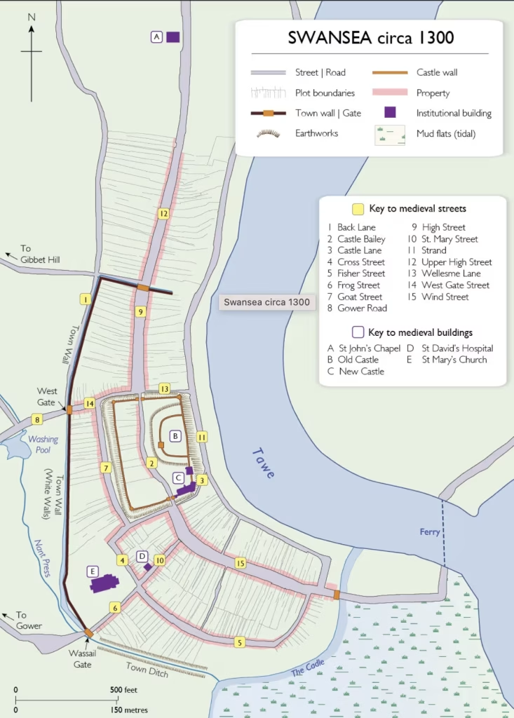
Interestingly, the course of the Tawe has actually been changed on this section near to city centre. Originally, the river ran much closer to the site of Swansea castle. Back in the mid 1800’s, the North Dock was constructed by diverting the lower reach of the River Tawe into a new channel or ‘cut’, and forming an enclosed dock on the original course of the river bed.
The map below shows this, with the route of our kayak along the new course of the river shown by the red line and the original course of the river (which was turned into the North Dock) sown by the blue line.
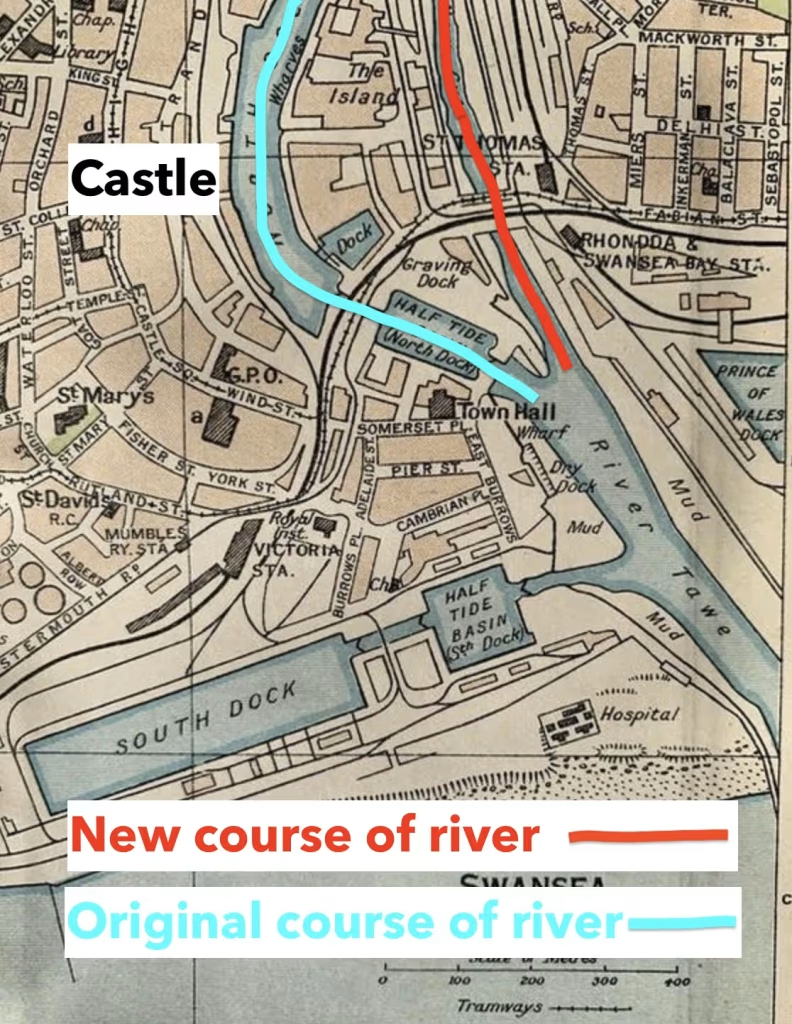
The North Dock which was formed from the original course of the Tawe has since been filled in, leaving just the ‘new cut’ which is the modern course of the river.
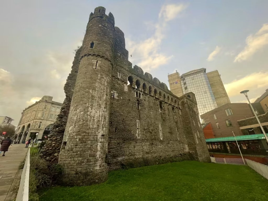
Swansea castle was originally a timber structure built by Henry de Beaumont existed in Swansea in 1116, when it was recorded as being attacked by Welsh forces who destroyed the outer defences. The castle was rebuilt in stone, probably between 1221 and 1284 (described now as the “New Castle”).
The only visible remains of Swansea Castle today are the 2 sides of the rectangular South East corner of the outer Bailey. These were built in the late 13th or early 14th century.
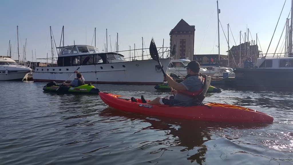
Back to the paddle after that historical interlude! We continued towards the Yacht Club, passing countless yachts and pleasure boats moored up on the wharves and jetties on this lower part of the Tawe.
Downstream , we could see the orange floating barrier which prevents craft from entering the area where the barrage is. I don’t think that they’d let us through the barrage lock in our kayaks!
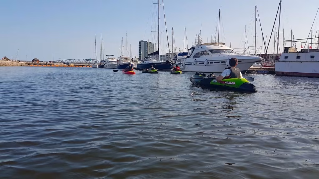
Having rounded the jetties in front of the Yacht Club, we swung round and and landed on the slipway in front of Swansea Yacht Club at about 17:15.
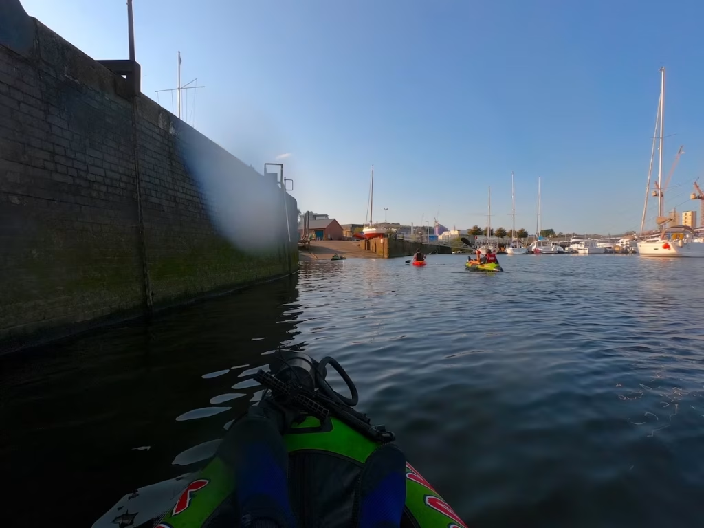
We’d really enjoyed our first paddle on the Tawe River, which had given us a view of Swansea from the water that we’d not experienced before.
4. LOGISTICS
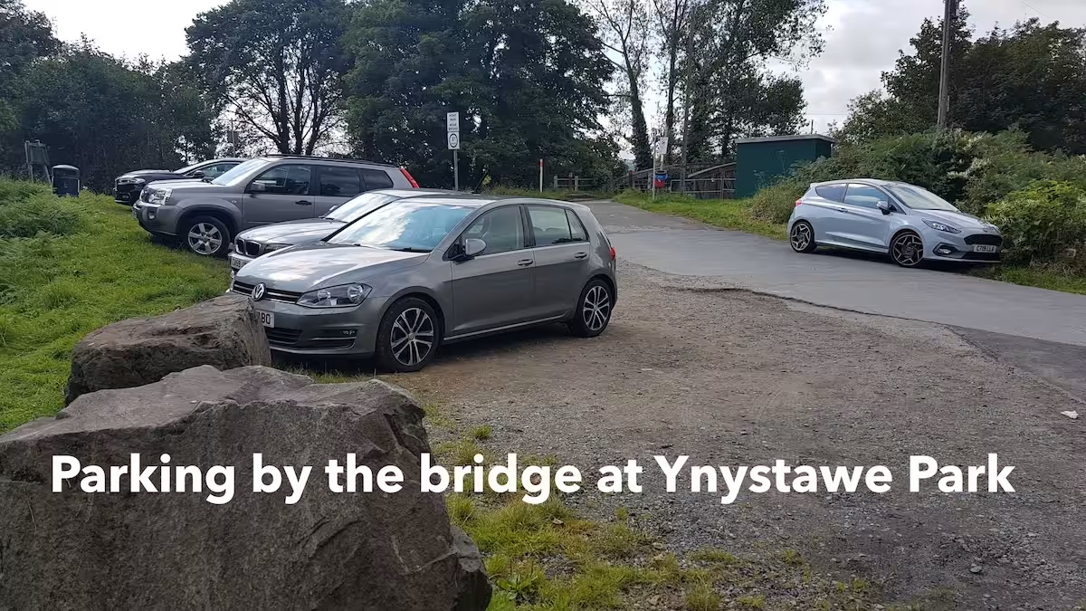
At Ynystawe, we parked in the parking area adjacent to the bridge in Ynystawe park, near to the cricket ground
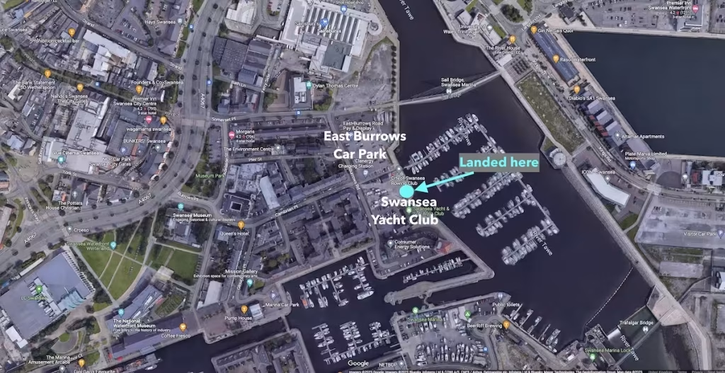
At Swansea, Archie had parked up at ‘East Burrows Road Pay & Display’ car park which is only more or less next to the slipway in front of the Yacht Club that we landed at.
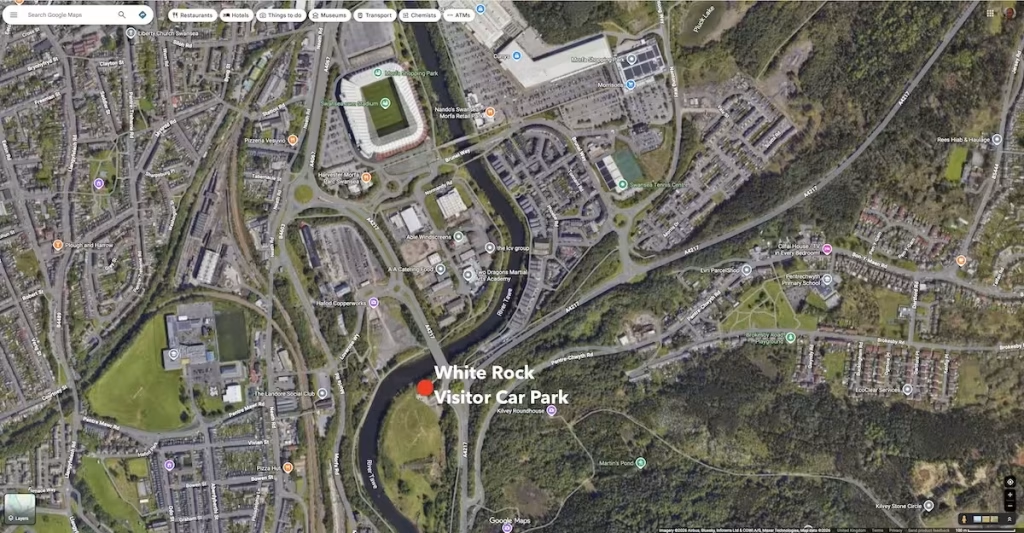
I usually now paddle the lower Tawe River a few times a year since it’s a nice, non tidal, flat water route and when I do so, then I tend to now launch and land at the White Rock Visitor Car Park next to the river just downstream from the football stadium as shown on the below map.
If you only had one vehicle then if you had an inflatable kayak, you could get the X6 Cymru Clipper bus from Swansea to Ynystawe and then back back to the car at Swansea. The total journey would be about 45 minutes (30 minutes on the bus and 15 minutes walking).
Alternatively, you could get a taxi from Swansea to Ynystawe and then back downstream back to Swansea (again assuming you have inflatable kayak you can take with you in it’s carry bag).
5. DANGERS / ISSUES
The lower Tawe is a relatively safe river kayak which is mostly comprised of flat water cruising. However, we would flag up the below 2 issues:
Water Levels
Due to the Swansea barrage, the Tawe is not tidal so tide times are not an issue.
However, with any river kayak, you should check the water levels before you go especially if it’s in the Autumn/Winter and there has been a lot of rainfall recently.
We use the website riverlevelsuk
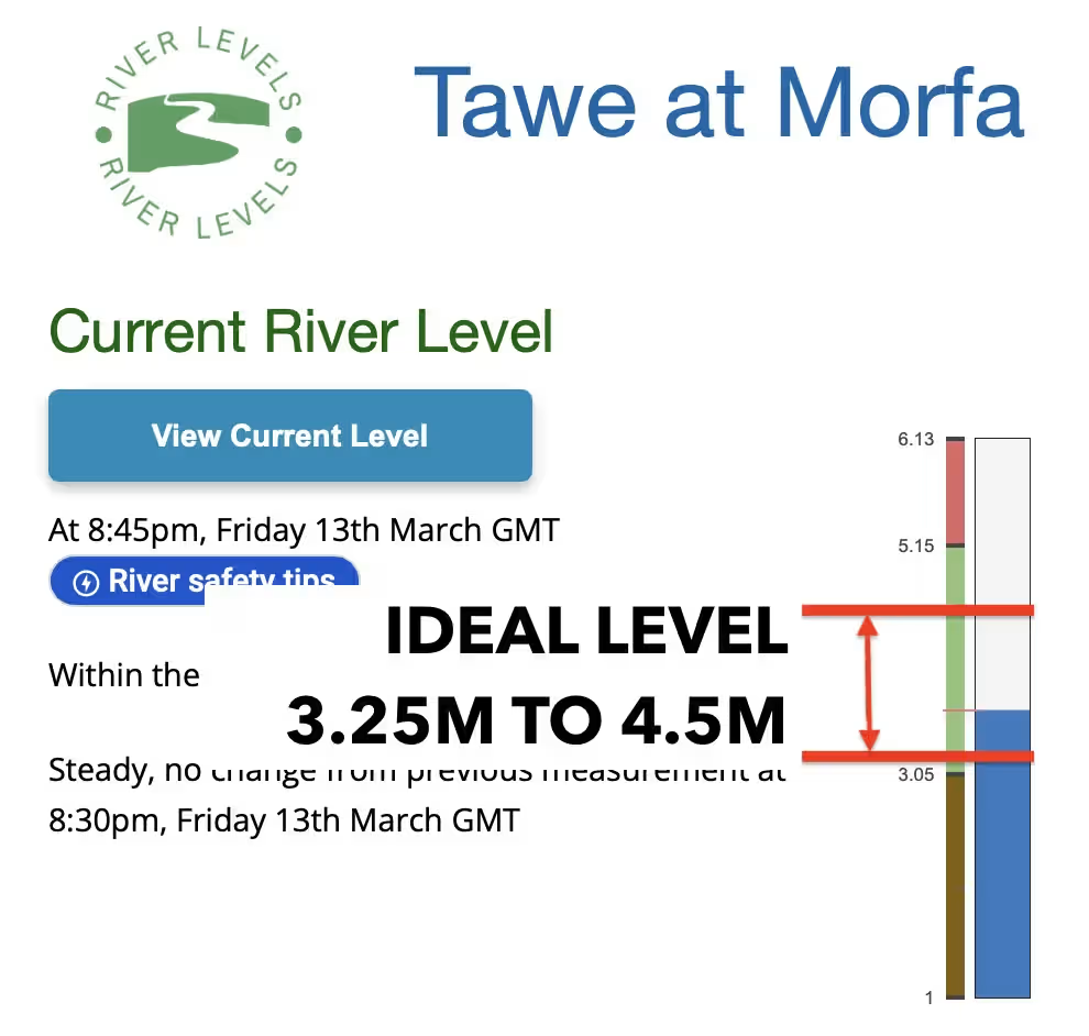
According to the gauging station at Ynystanglws which is not far downstream from Ynystawe, the water level was about 0.5 meters while at the Morfa gauging station several miles downstream it was 3.16 meters.
Since our maiden voarage on the Tawe River back in 2020 I’ve since paddled the Tawe a number of times and in my experience the ideal levels are when it’s between about 3.25 meters to 4.5 meters at the Morfa gauging station.
Weirs
The main weirs on this part of the lower Tawe River are about halfway along the route, where the river runs adjacent to Fendrod lake.
f you look on Google Maps or some other map which has satellite view then you will be able to see where these weirs are. As you can see from the photos, none of these weirs are ‘dangerous’ per se and a lot of kayakers will enjoy going over them, but you do need to be aware of them.
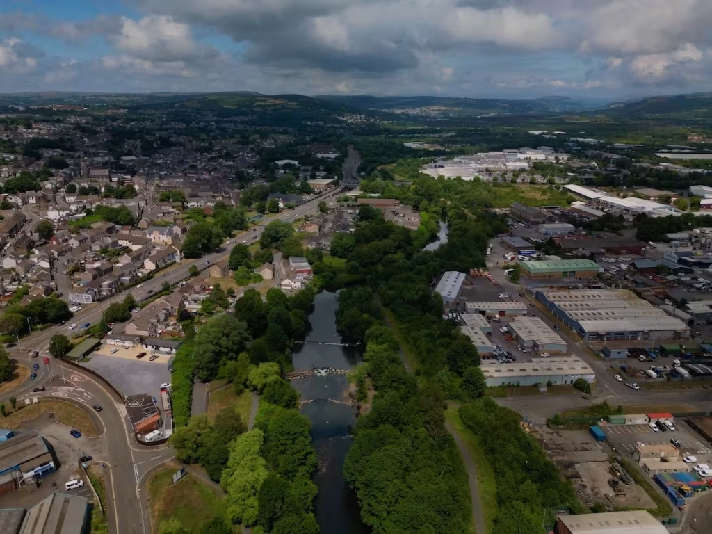
You can always portage around them like we did.
6. KAYAKS USED
4 of the Kayak Crew used Pro Aqua inflatable kayaks which we bought from Clas Olson may years ago.
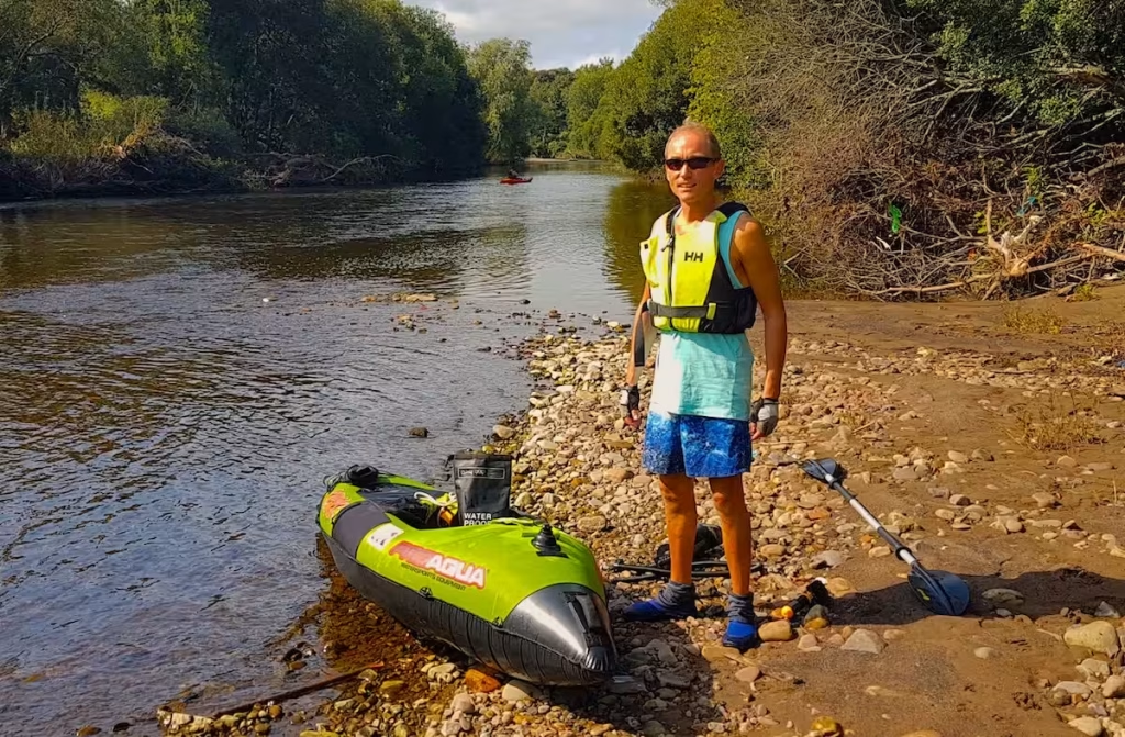
They have been discontinued for some time. They are ‘Category 2’ inflatable kayaks, with PVC bladders encased in a protective outer fabric layer.
Archie used a Tootega Kinetic 100 Hydrolite hard shell sit on top (‘SOT’) kayak which he had recently bought.
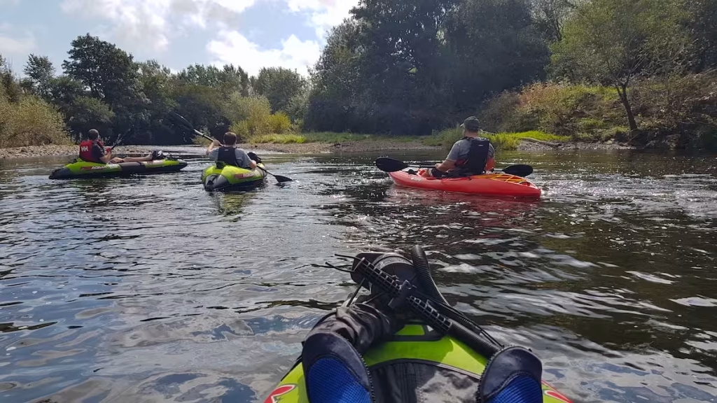
We find that the inflatable kayaks are obviously much more portable and maybe a bit more stable while the hard shell SOT kayak is marginally faster and less prone to strong cross winds.
We have since doing this Tawe paddle progressed to higher quality inflatable kayaks including drop stitch and semi drop stitch kayaks. Check out on Guide to Buying an Inflatable Kayak video my Youtube channel and blog post on my website.
8. SUMMARY
We can highly recommend paddling this lower section of the Tawe, especially if you are into flat water cruising rather than white water kayaking.
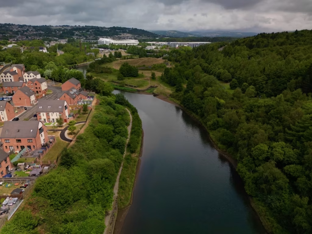
This lower section of the Tawe transitions from the rural setting of Ynystawe Park, down past the remnants of Swansea’s copper smelting industry, a stone’s throw from the historical Swansea castle and concludes with you paddling into the armada of yachts and boats at Swansea Marina.
If you have any questions about this route then feel free to comment below or get in touch using our contact form.
Link to our YouTube video of this trip:
Below is our free downloadable guide to this route on the lower Tawe:
Excellent detailed review. I live in Ynystawe and often run/cycle to the marina/BeerRiff. Got a kayak 2 years ago and have been thinking of doing this. Having read your guide will do it this summer. Great name too!
Thanks! It’s a nice stretch of river, quite underrated. An alternative is a circular paddle is from the slipway by Swansea Yacht Club up to where the river is adjacent to Fendrod Lake and back (about 7 miles round trip).
We did a video of the Ynystawe to Marina paddle which is on the below link.
https://youtu.be/Seq0I-pRse4?si=HS—X-THITEOeQI
We’ve not paddled anywhere upstream of Ynystawe, some of it looks nice but a few sections of rapids and a few weirs it seems.
Fantastic Captain Carlos! I really fancy doing this stretch of river and this article has given me the confidence to give it a go! Many thanks for your superb route description. Happy Paddling, Huw
Thanks Huw. It’s a nice, easy route, especially downstream from the weir. An alternative is to launch from the slipway by the yacht club at Swansea Marina, paddle up to the weir and then back to the Marina as a circular route.