
CONTENTS
- Date, Distance & Map of Route
- Tide Times & Weather
- The Borth to Aberystwyth kayak
- Logistics
- Dangers/Issues
- Kayak used
- The Wales Coast
- Summary
1. DATE, DISTANCE & MAP OF THE ROUTE
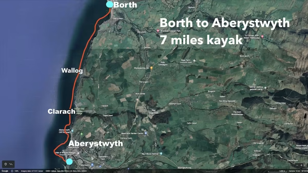
12th August 2020. 7 miles kayak. Launched about 12:00pm from Borth. Landed at South beach, Aberystwyth about 16:30 (about 4 hours paddling)
2. TIDE TIMES & WEATHER
It was a humid day with a high of about 23 Celsius with light winds from the West of about 6mph (onshore). There was a thick sea mist in the morning which eventually dispersed and gave way to a sunny afternoon.
3. THE BORTH TO ABERYSTWYTH
After getting off of the train from Abersytwyth, I walked from Borth station down to the beach and inflated my kayak before launching at about 12pm onto a flat but increasingly misty sea.
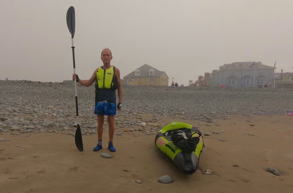
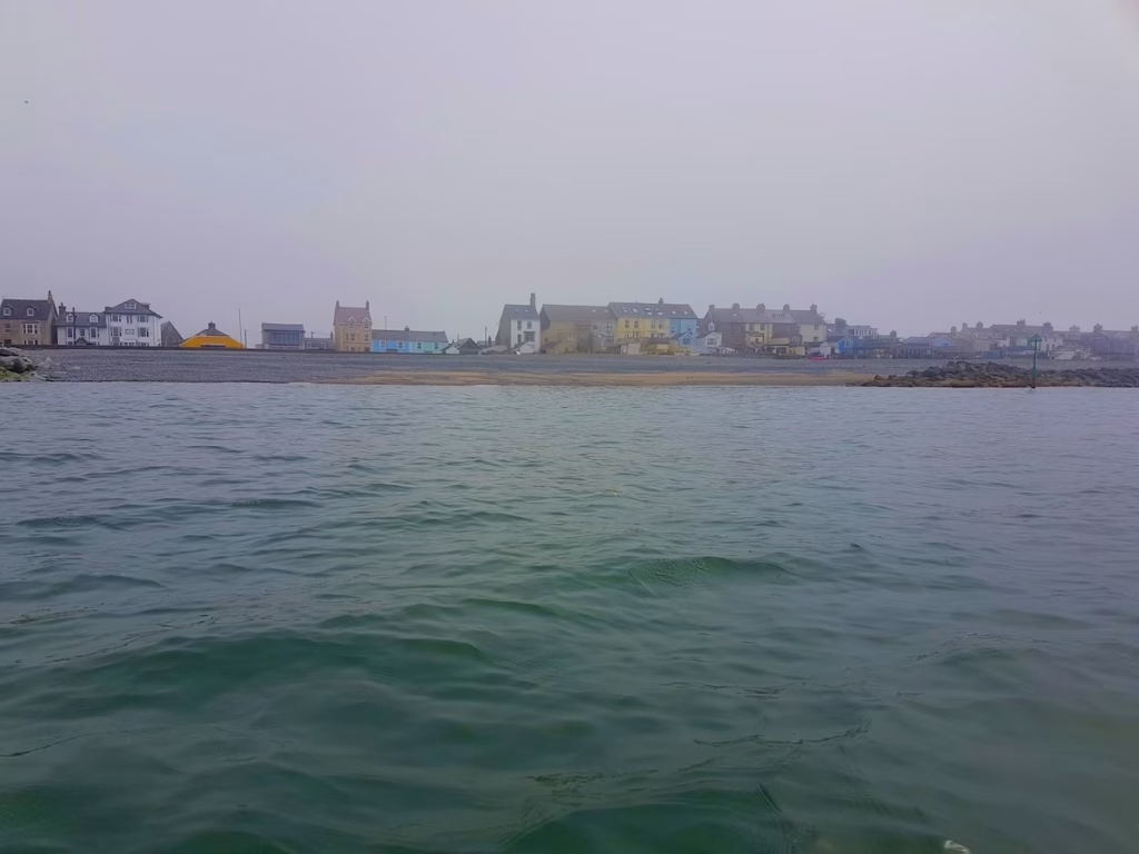
Borth is a quite strange place, which is mostly comprised of one long street which is sandwiched between the beach and the immense Cors Fochno (also known locally as Borth Bog), a huge area of wetlands which runs all the way from Borth northwards to the Dovey estuary.
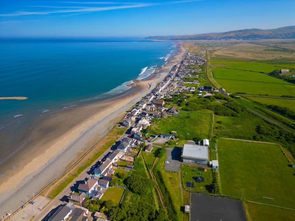
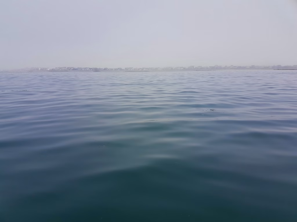
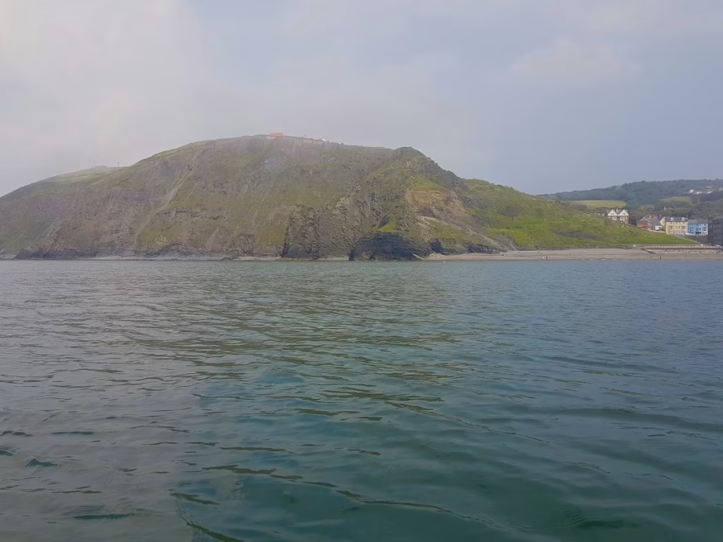
After paddling Southwards for about a mile, the houses of Borth crept up the hill on the Southern end of Borth.
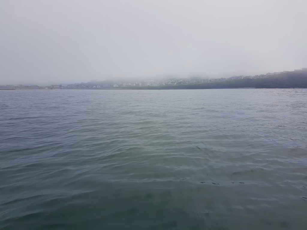
The cliffs stretched away to the South with their tops shrouded in the thick mist.
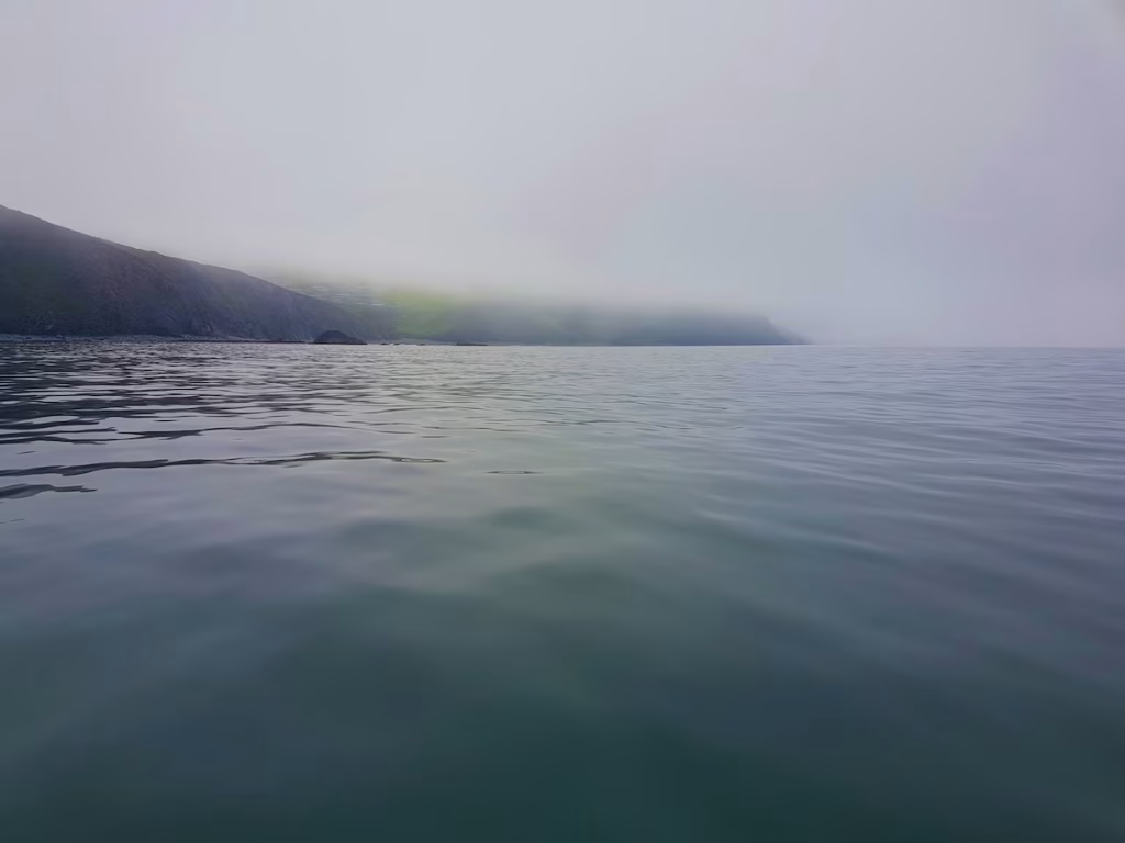
I was now about 2 miles along the 7 miles route, paddling past huge granite cliffs which are typical of this part of the Northern half of Cardigan Bay.
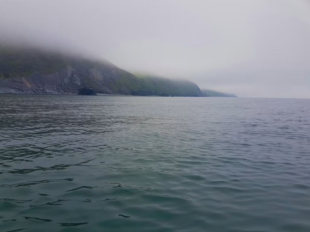
About halfway along the route I came to Wallog Beach and the mysterious ’causeway’ of Sarn Cynfelyn. Sarn Cynfelyn is a strange glacial moraine which stretches for about seven miles out to sea and which may have given rise to the legend of ‘Cantre’r Gwaelod’.
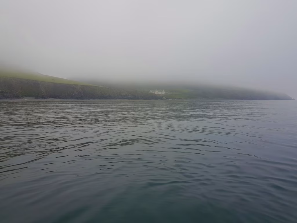
According to legend, Cantre’r Gwaelod was a fertile kingdom below sea level and which was protected by sea walls. The guardian of the gates got drunk one night and left the gates open which led to Cantre’r Gwaelod being engulfed by the sea. It’s basically a Welsh version of the Atlantis myth.
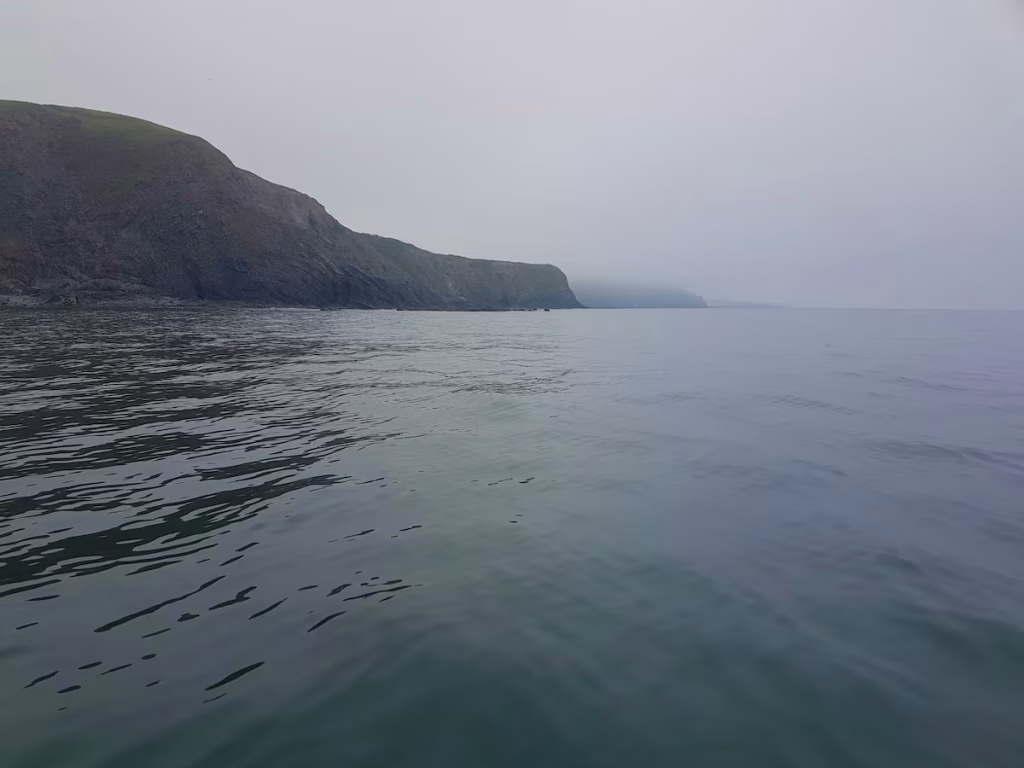
About 5 miles along the route I paddled past Clarach Beach which is backed by a holiday village and caravan park.
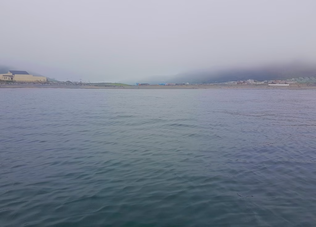
As I rounded Constitution Hill, the promenade on the North end of Aberystwyth started to come into view. The mist was now starting to noticeable clear revealing a clearer view of the coastline. I never realised how much the castle jutted out onto a peninsular.
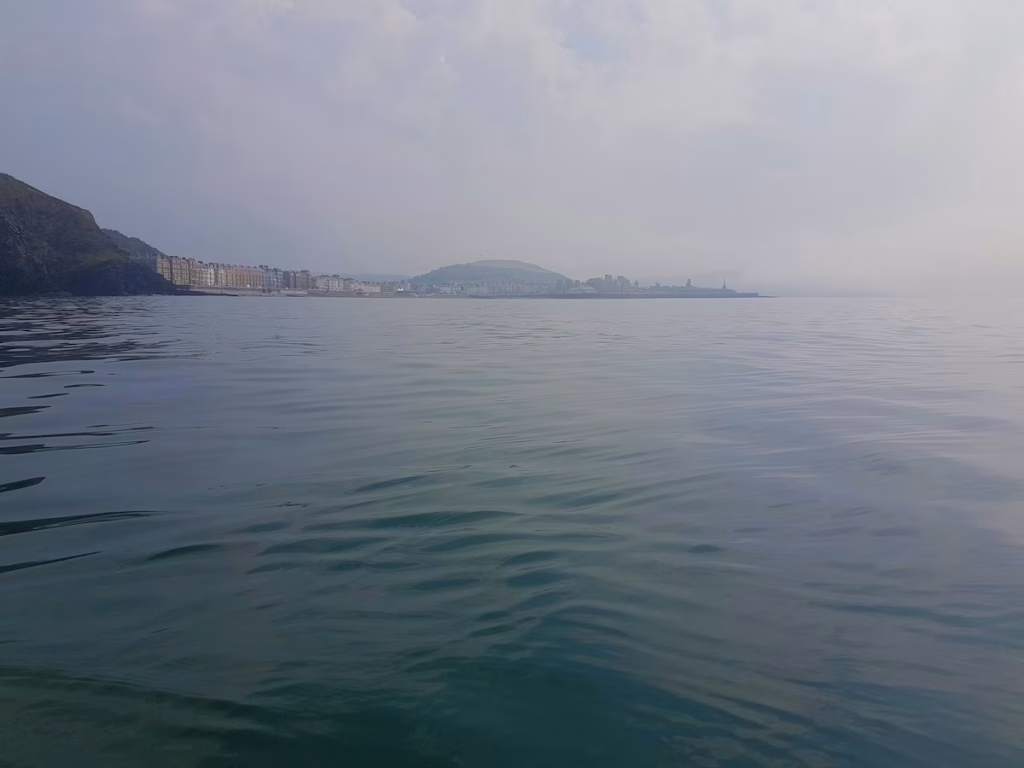
I lived in Aberystwyth for 3 years when I went to Aberystwyth University but I never kayaked during my time here. It was amazing seeing Aberystwyth from the sea, it looked totally different from this perspective.
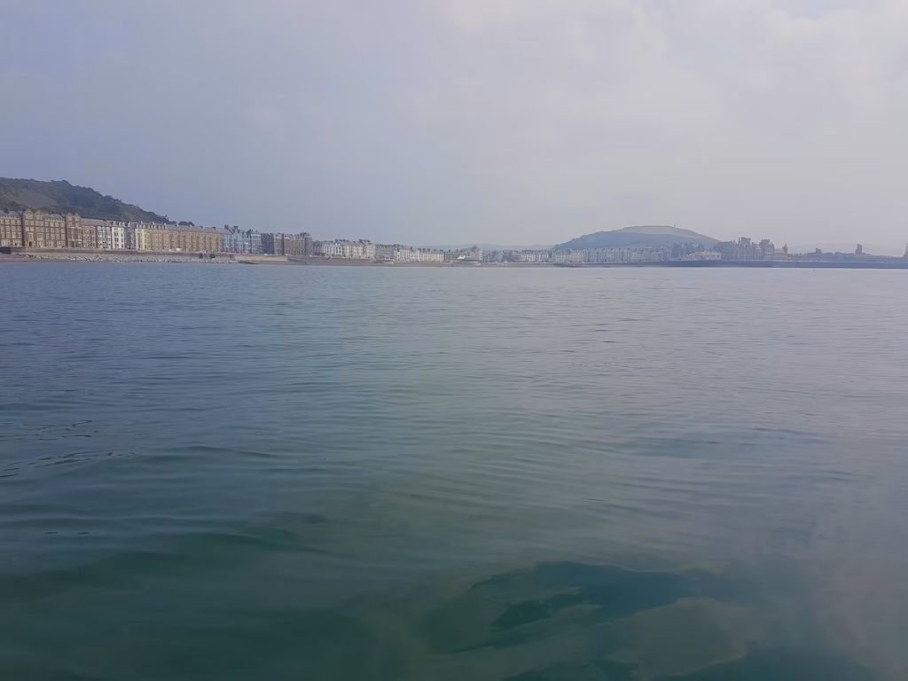
It was amazing looking back at the North Beach of Aberystwyth, a beach I’d spent so many childhood holidays on. You certainly get a different perspective of an area when looking back at it from the water.
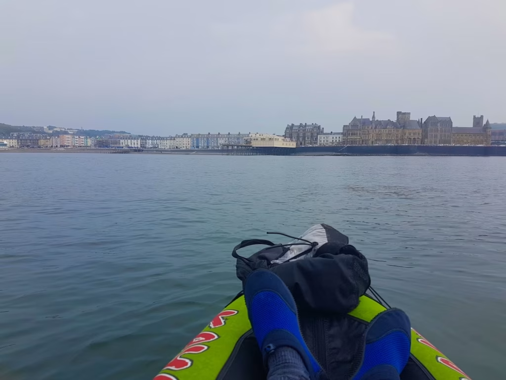
As I paddled round Aberystwyth Pier, I got a fine vista of the Old College and the remains of Aberystwyth castle. The Old College building was built in 1795 and was originally intended as a grand railway hotel. It was sold in 1872 to the University of Wales who turned it into a college for higher education which later became the University of Aberystwyth.
I paddled around Aberystwyth pier which was the first pleasure pier to open in Wales in 1865. The mist had by now mostly cleared although it was still a very hazy, humid afternoon.
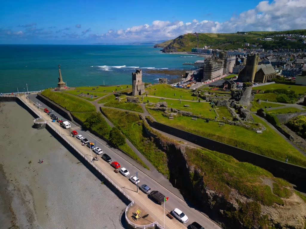
As I rounded the point just South of Aberystwyth pier, I got a good view of the remains of Aberystwyth castle with my destination of Aberystwyth’s South Beach in the foreground. Aberystwyth Castle was built between 1277 and 1282 when the Welsh briefly captured and burned it. The castle changed hands several times as the Welsh and English warred throughout Wales, including by Owain Glyndwr, who captured the castle in 1404.
I paddled along the South Beach at Aberystwyth and gazed towards the harbour with the Pen Dinas behind it upon which an extensive hill fort is situated. The hazy Cardigan Bay coastline trailed away to the South towards Llanrhystud and Aberaeron.
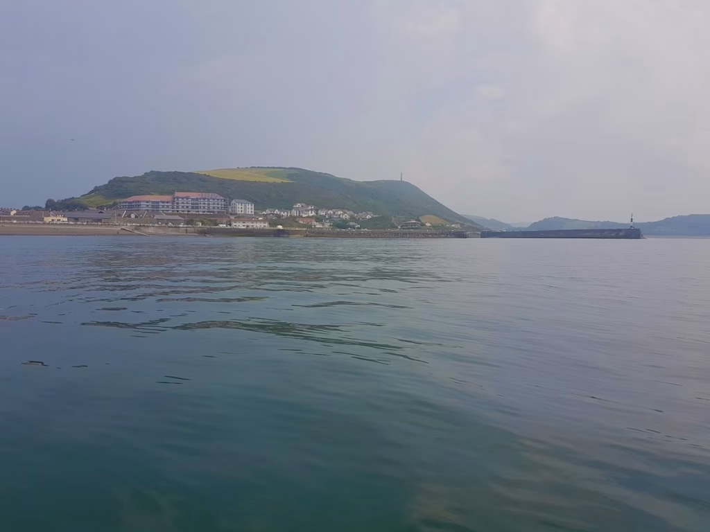
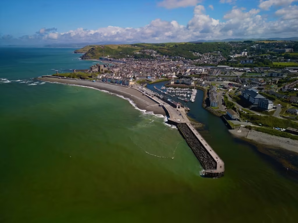
The Ystwyth River after which Aberystwyth is named slows into the mouth of the harbour where it joins the Rheidol river. While Aberystwyth translates as ‘Mouth of the Ystwyth’, since almost all of Aberystwyth is in fact situated alongside the Rheidol River, ‘Aberheidol’ seems a more appropriate name.
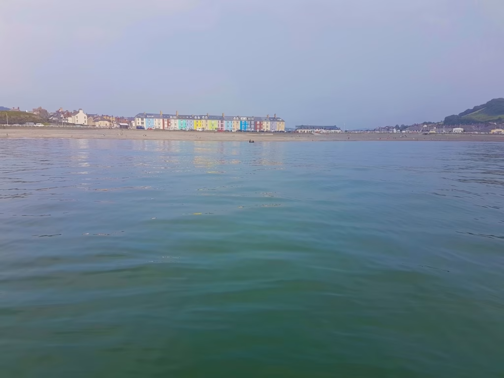
As it came up to 16:00, I headed in to land at the South Beach. What a great 7 miles’ afternoon paddle which gave me a perspective of Aberystwyth that I’d never had before and must rank as one of my most memorable paddles.
4. LOGISTICS
I always try and do one way , linear paddles so I left my car in the parking bays along the South Beach at Aberystwyth in the morning, walked about 10 minutes to the train station and got the train to Borth.
There is a fairly regular train from Aberystwyth to Borth throughout the day, with departures being either at 1 or 2 hour intervals (it varies throughout the day).
The train journey from Aberystwyth to Borth was only about 15 minutes.
Borth Train station is a small station only about 5 minutes walk from Borth beach where I launched from.
There is also a Bus 512 from Aberystwyth to Borth, see the link to the timetable below.
Instead of landing at the North or South beach in Aberystwyth, you could land in the Harbour if the tide is in.
5. DANGERS & ISSUES
As with any sea kayak, you need to check the weather and sea swell forecast before going.
I usually use www.surf-forecast.com
While Cardigan Bay is of course tidal, the tide is nowhere near as much of an issue as it is with other section of coast we have paddled, such as the South East Wales Coast. The tide runs South to North in Cardigan Bay when it’s coming in. When it’s going out, it runs North to South.
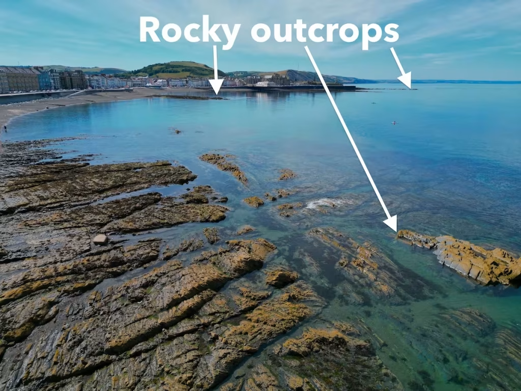
Note that there are a few rocky outcrops off of Aberystwyth as shown on the below photos. You just need to be aware of them and make sure that you do not damage your kayak on them when the tide is a bit low (especially if you are using an inflatable like I was!).
6. KAYAK USED
I did this paddle in September 2020 when all of the Kayak Crew were still using Pro Aqua inflatable kayaks.
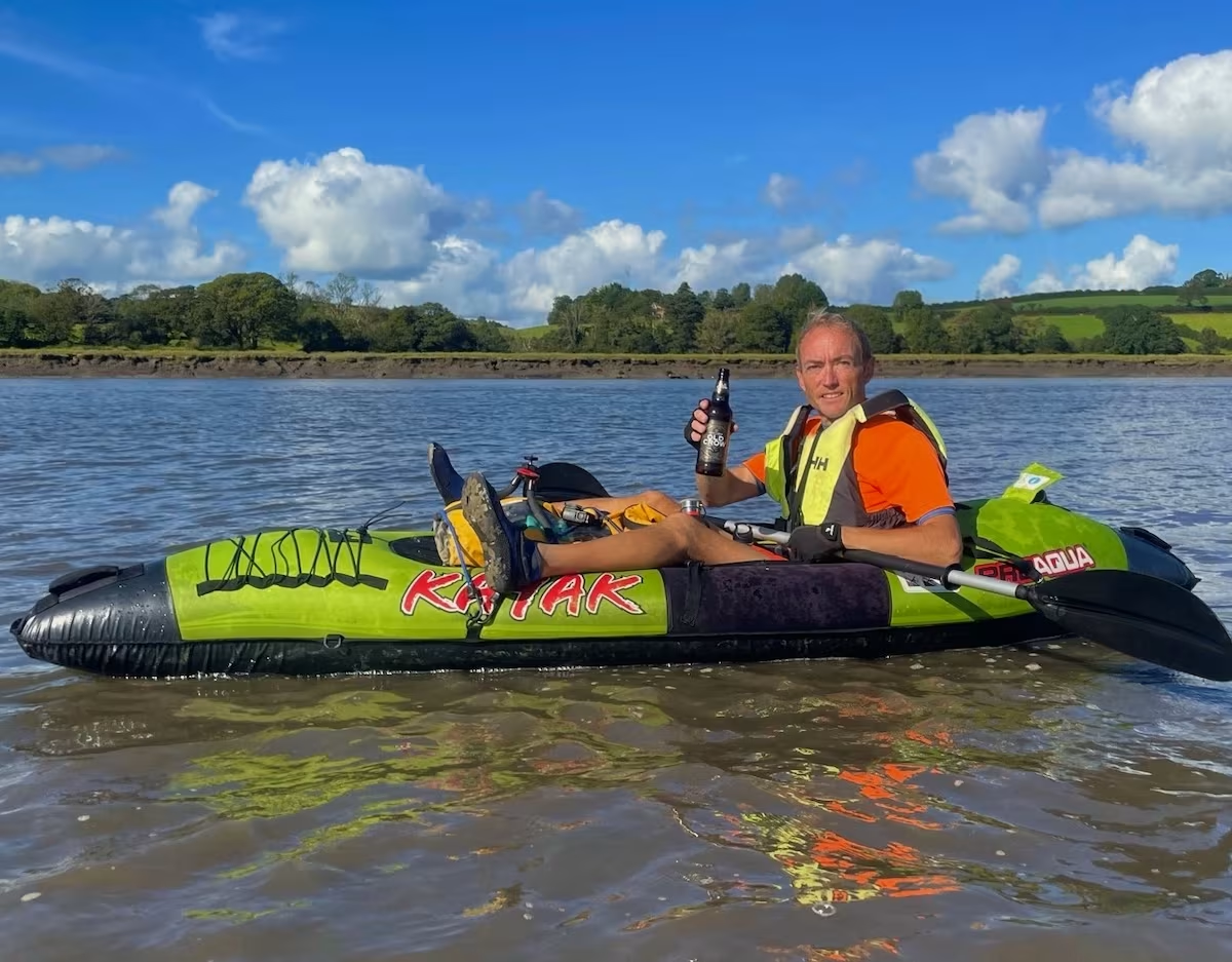
The Pro Aqua kayaks were sold by Clas Ohlson but they have been discontinued for a while.
The big advantage of inflatables is their portability, as evidenced on this paddle when I was able to take it in it’s carry bag on the train.
7. THE WALES COAST
This 7 miles circular kayak on the Cardiganshire coast was part of the Kayak Crew’s undertaking to kayak around the entire 870 miles or so of the Wales Coast. We are breaking this up into sections which are generally between about 6 miles and 12 miles.
The below map shows where this Newquay to Cwmtydu kayak was on the Wales Coast.
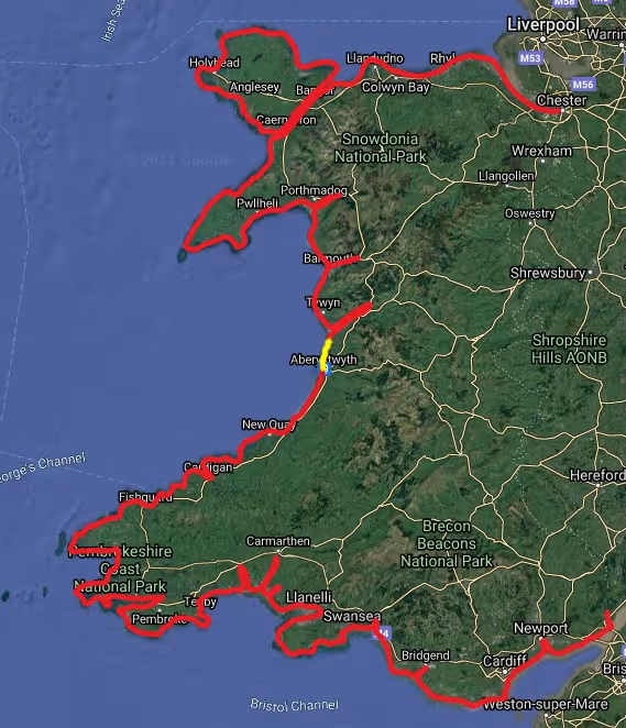
We are writing up blogs for all of our paddles around the Wales Coast and are also uploading videos to our Youtube Channel ‘Kayak Crew’.
8. SUMMARY
This 7 miles paddle from Borth to Aberystwyth took me from Borth beach, past some dramatic granite cliffs and ended at the vibrant town of Aberystwyth. It’s an unspoiled section of the Wales Coast with crystal clear waters.
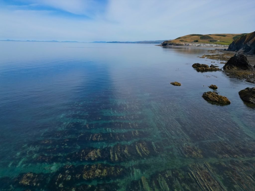
It’s a great section to see wildlife such as seals and countless seabirds including oystercatchers and razorbills. You may even sea dolphins which frequent this section of Cardigan Bay.
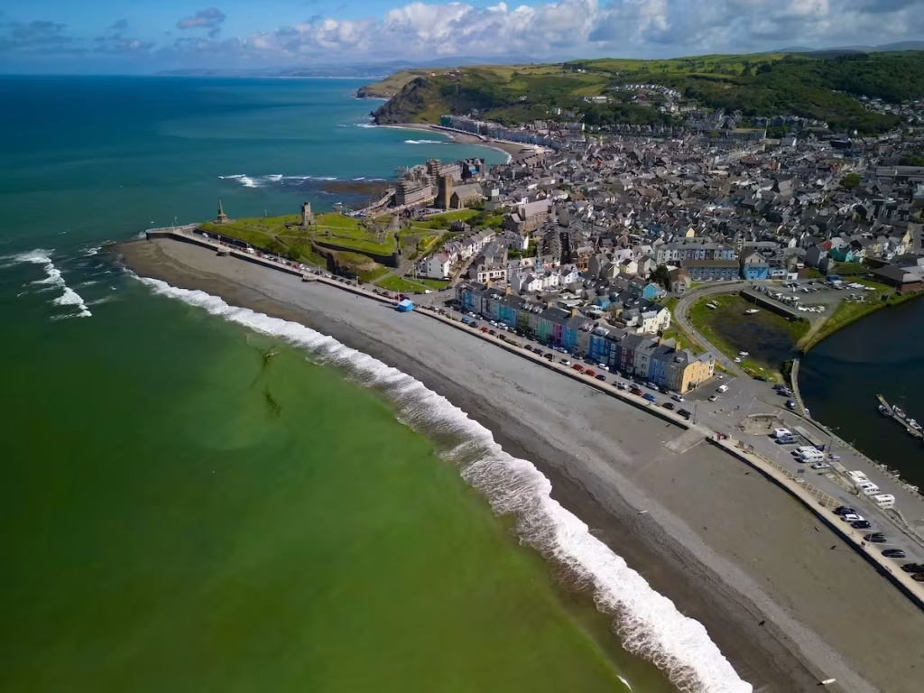
Aberystwyth is an awesome town to paddle off and a great end point for this route, with it’s Victorian promenades and historical buildings set against the backdrop of the Cambrian Mountains.
Our Youtube video of this paddle is below:
If you have any questions or comments then please comment below or email us on info@kayakcrew.co.uk