
CONTENTS
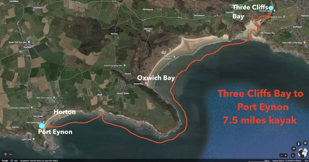
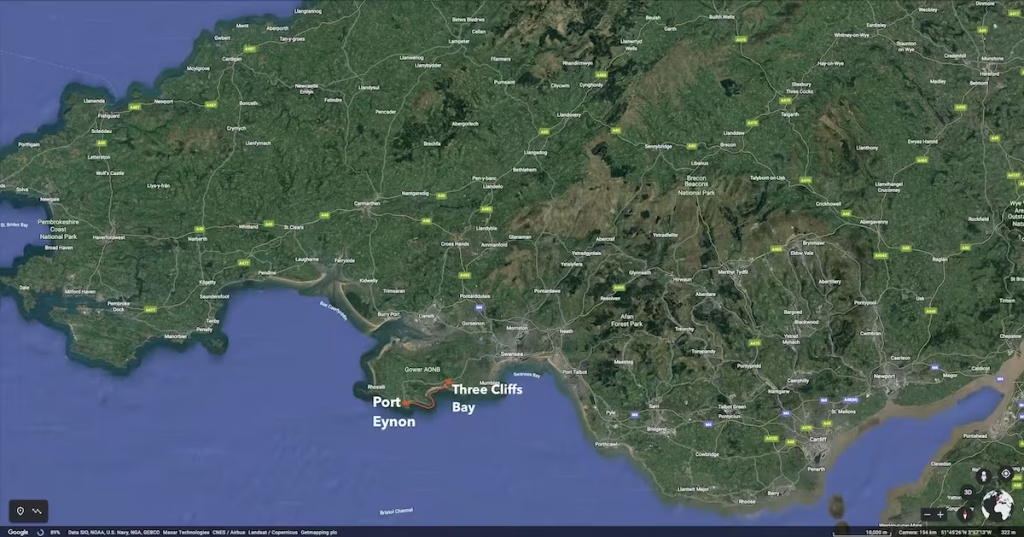
- Date, Distance & Map of the Route
- Tide Times & Weather
- The Three Cliffs to Port Eynon Kayak
- Logistics
- Dangers & Issues
- Kayaks used
- The Wales Coast
- Summary
1. DATE, DISTANCE & MAP OF THE ROUTE
14 June 2020. 7.5 miles kayak. Launched at about 12:45pm from Pennard Pill and landed at Port Eynon at about 17:30. About 4 hours padding and 45 minutes lunch stop.
2. TIDE TIMES & WEATHER
Tide times (Swansea):
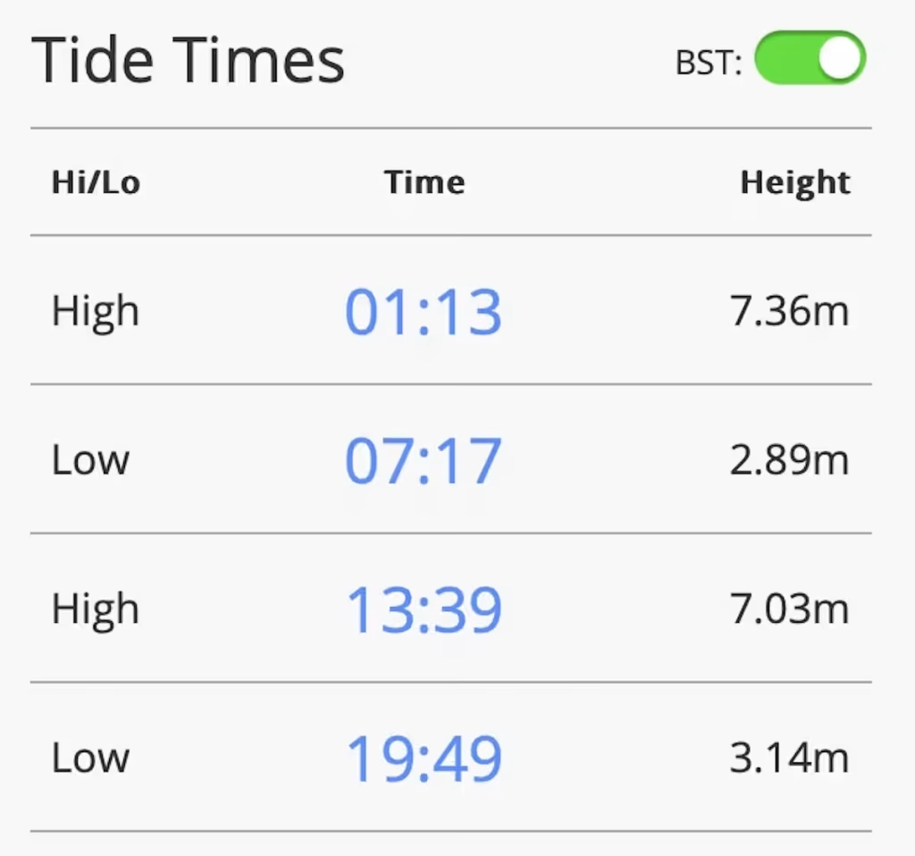
It was a sunny, warm day with a high of about 20 Celsius and with light winds from the West of about 5 to 10mph.
3. THE THREE CLIFFS TO PORT EYNON KAYAK
My nephew Lloyd, Sheldon and myself launched from a tidal creek known as Pennard Pill at about 12:45pm set off down the pill towards the beach at Three Cliffs Bay.
The remains of Pennard Castle brooded over the valley. The original 12th Century castle was rebuilt in stone by the Braose family at the turn of the 13th and 14th centuries, including a stone gatehouse. Soon afterwards, however, encroaching sand dunes caused the site to be abandoned and it fell into ruin.
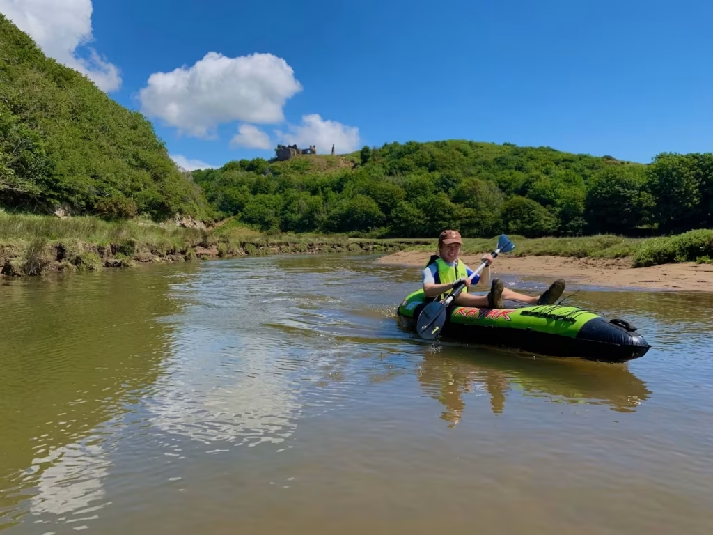
We bottomed out a few times coming down the pill, including at the sandbar separating the pill from the beach when we had to again get out to drag out kayaks through the shallow water.
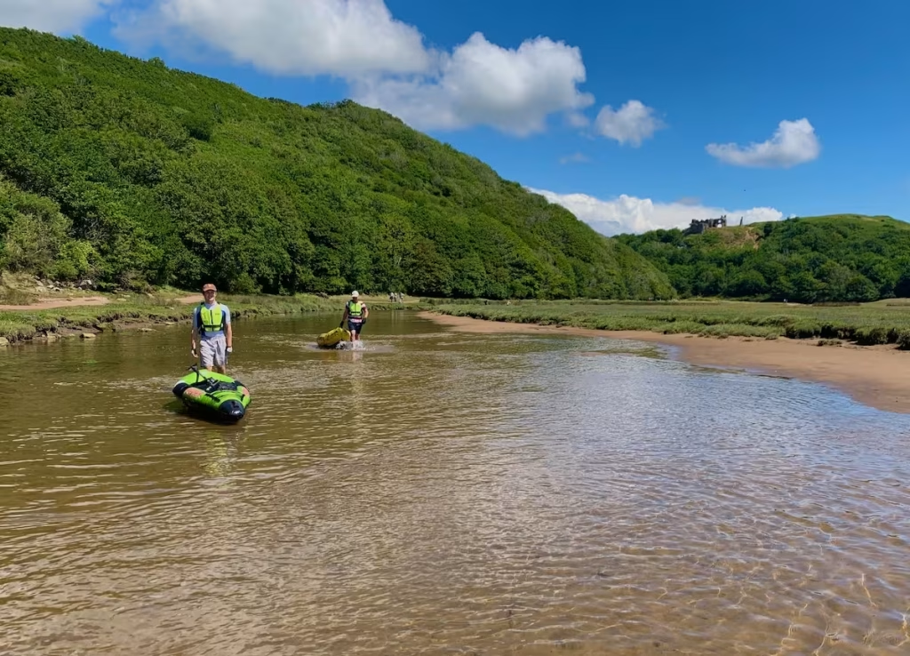
To our dismay, we noticed that the base of the Intex Explorer kayak that Sheldon was using had deflated. I did pump it back up but feared that he’d punctured the bottom chamber by dragging it over rough stones coming down the pill.
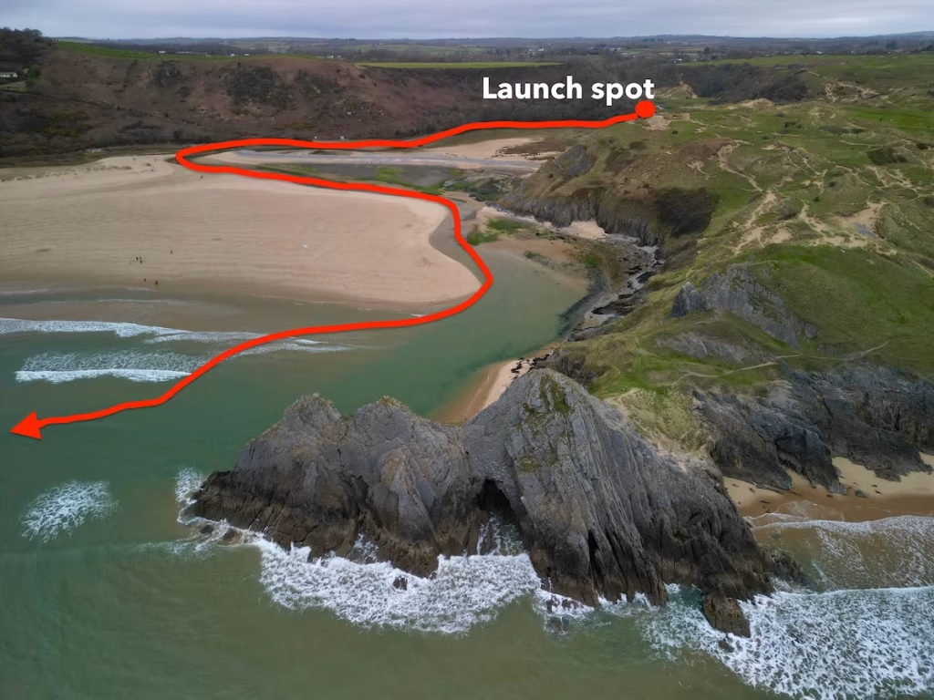
We finally broke out onto Three Cliffs Bay beach at about 13:15 and then set off on the sea and headed Westwards. Three Cliffs Bay is a cracking beach, one of the best on the Gower.
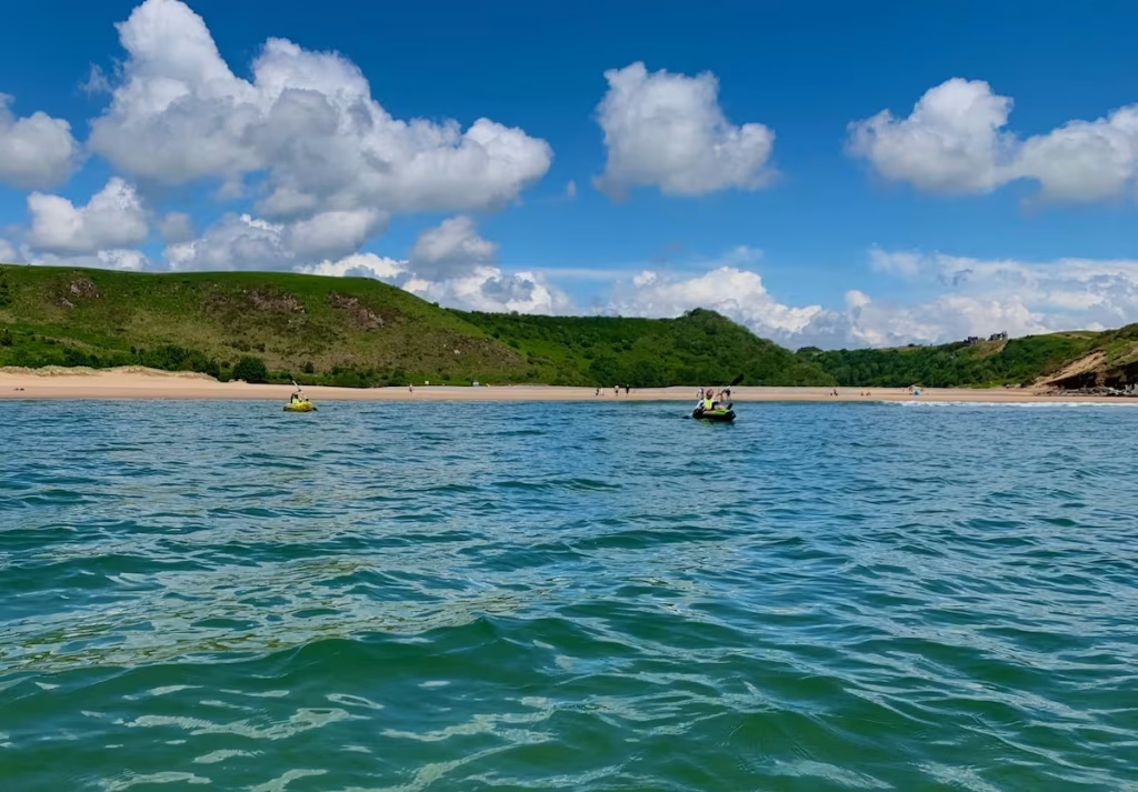
We kayaked around the headland separating Three Cliffs Bay from Oxwich Bay which is known as Great Tor.
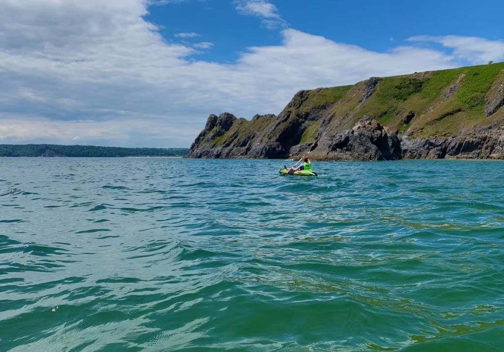
We had not gone that far when Sheldon started to complain that the base of his Intex Explorer kayak had deflated which confirmed that must have punctured it going by dragging it along the bottom when going down Pennard Pill. We now take repair kits with us so we can patch our inflatable kayaks if we do puncture them but back then we didn’t do so which meant that the floor chamber of the Intex Explorer kayak was deflated for the rest of the trip.
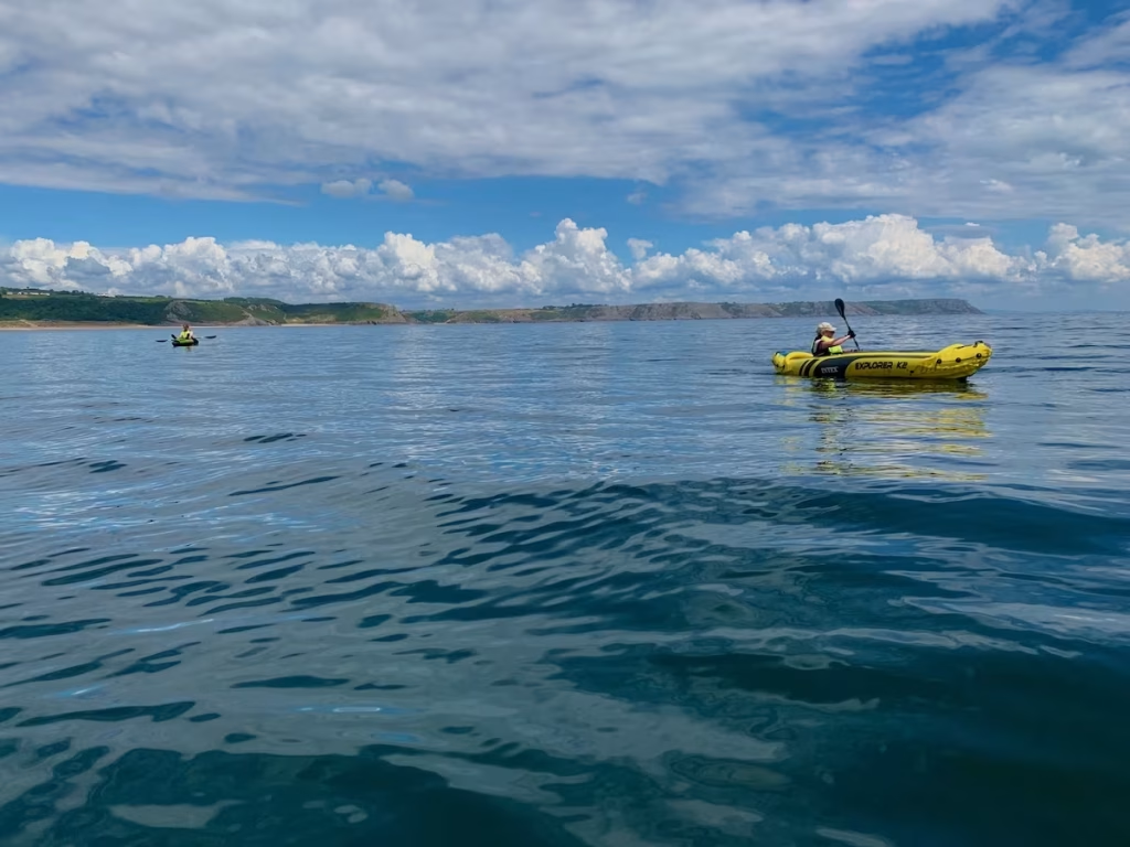
We paddled along the 2.5 miles or so of Oxwich Beach, one of the longest beaches in the Gower.
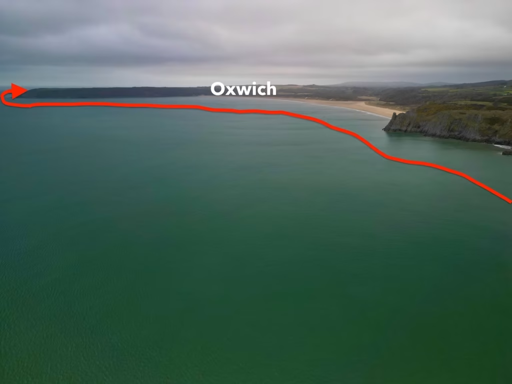
By about 14:15 we were approaching Oxwich village which nestles at the Western end of Oxwich beach at the base of the long wooded headland of Oxwich Point.
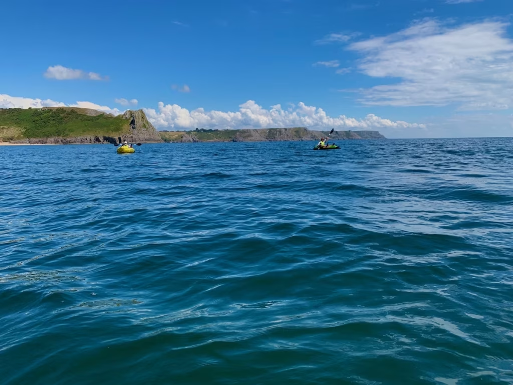
The ancient church of St Illtyds is situated in Oxwich. The original 5th Century church was rebuilt by Cistercian monks in the late 12th century.
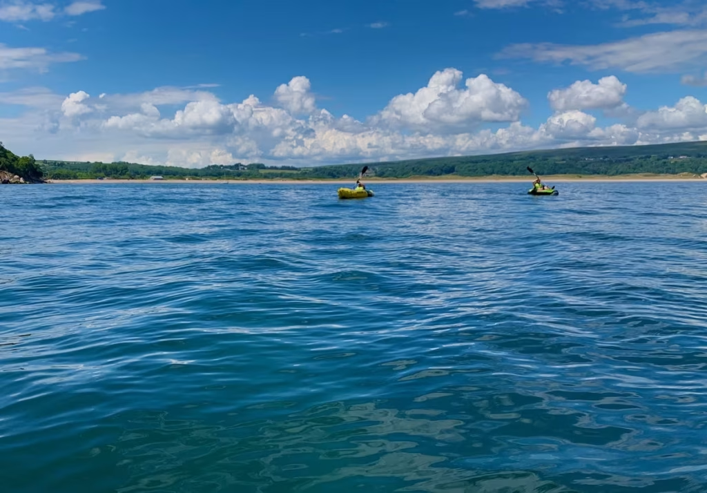
We started paddling up the Oxwich Point, the long wooded headland which just out from Oxwich.
As we paddled down Oxwich Point, we passed the halfway point of the 7.5 miles route. The calm, aqua marine sea was a joy to paddle on.
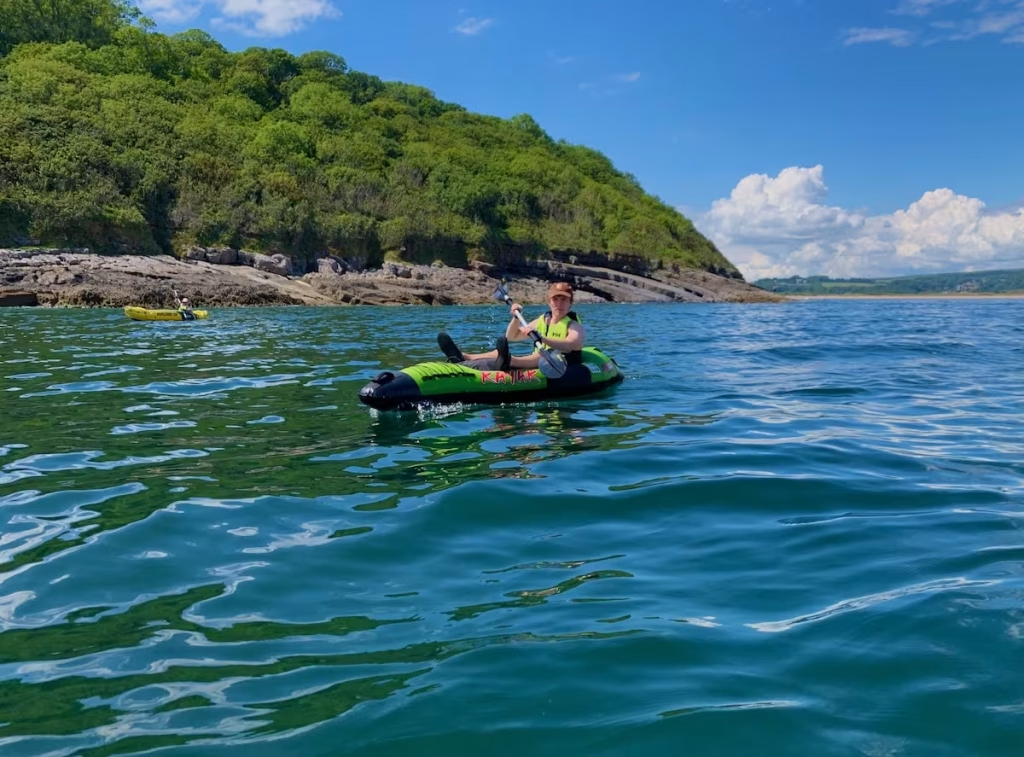
As we started to round Oxwich Point, we came upon a rough section section of water caused by the tidal tidal race which is due to a reef which runs off the point.
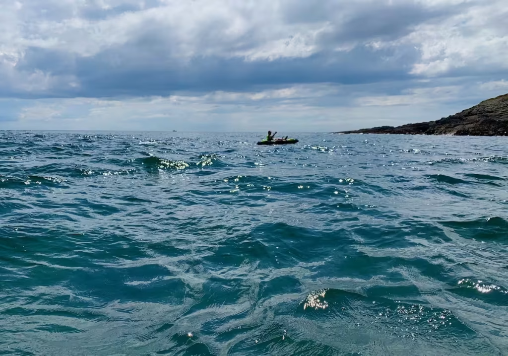
While this met with some initial consternation, it was not as bad as we feared because the rough section of water was only about 50 meters wide.
After rounding Oxwich Point, a long stretch of coast was ahead of us and we could see our destination of Port Eynon with the headland of Port Eynon Point way in the distance to the West.
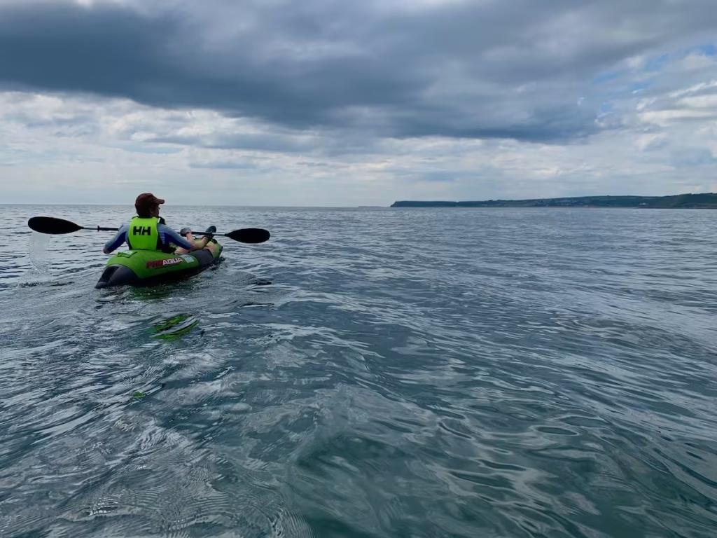
Sheldon was still struggling on in his Intex Explorer although the strain of trying to paddle over the side pontoons due to him being sat on a deflated base of the kayak was starting to tell.
Port Eynon seemed like chasing the end of the rainbow as we paddled the long stretch between Oxwich Point and Port Eynon. While we could see Port Eynon after rounding the point, it didn’t seem to be getting much closer as we paddled along.
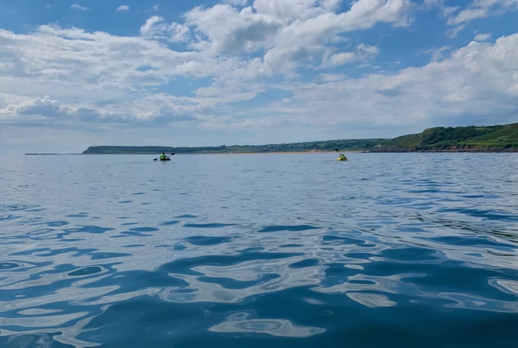
Partially due to the issues with Sheldon’s kayak but perhaps mainly due to the fact that we were getting tired and starving hungry, we decided to stop for a lunch and beer break on a small sandy beach about 1.5 miles East of Port Eynon.
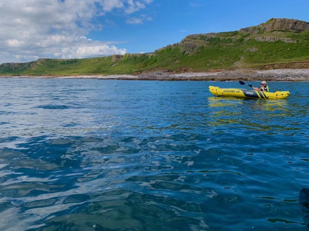
After our break we passed the village of Horton and there was now less than a mile to our objective of Port Eynon. The long beach which runs from Horton to Port Eynon is backed by sand dunes.
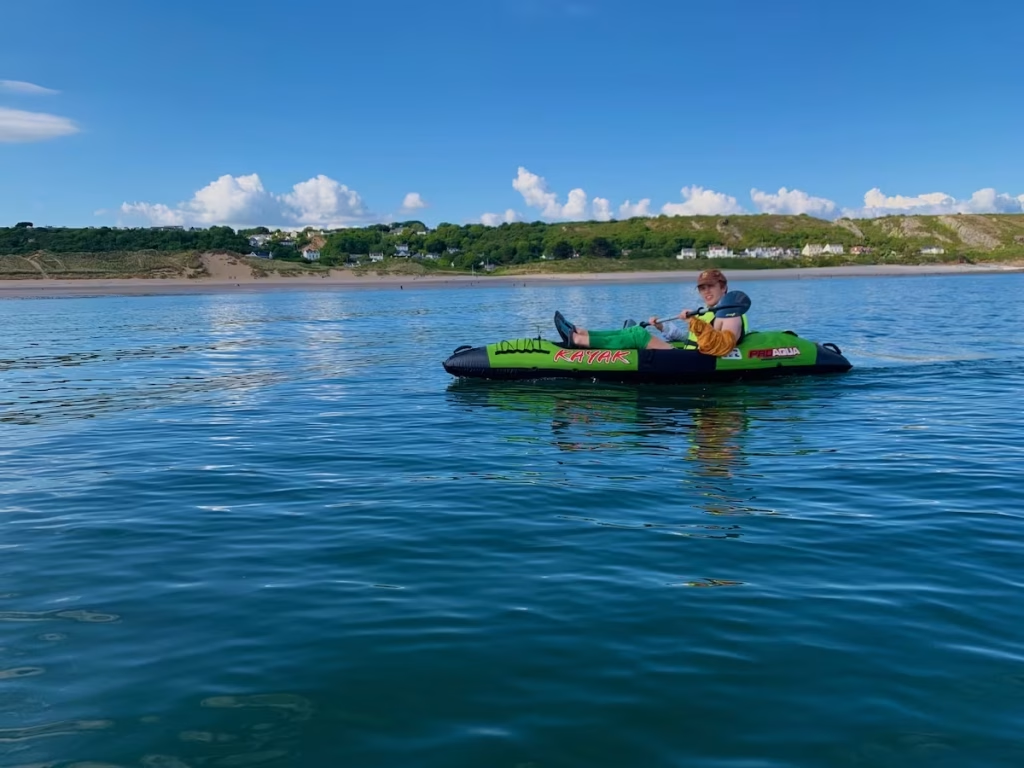
As we approached 17:30, we landed at Port Eynon near to the slipway which leads up to the car park.
What a great paddle along an outstandingly picturesque and unspoiled section of the South Gower coast.
4. LOGISTICS
The below map shows where we parked at in the filed at Parkmill which was being used as a car park (paid), the footpath we walked about half a mile down the valley and where we launched at Pennard Pill.
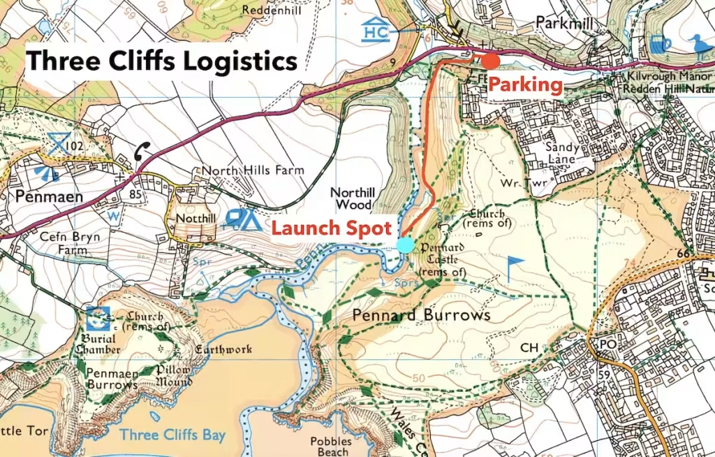
We had left another car at the end of the route at the pay and display car park near to the beach at Port Eynon.
If you only had one car and wanted to use public transport then Bus 118 could be used to get from Port Eynon to Park Mill (or vice versa). The link to the timebase is below.
5. DANGERS & ISSUES
We always use www.surf-forecast.com which is linked below to check and weather, tide times and sea conditions before any of our sea kayaks.
https://www.surf-forecast.com/breaks/Port-Eynon-Bay/forecasts/latest/six_day
I’ve done a Guide to Sea Kayaking with Inflatable Kayaks video on my Youtube channel which contains guidance about how sea conditions and wind affect coastal kayaking with inflatables.
When the tide is going out on then it runs East to West and when it’s coming in it runs West to East along the South Gower coast.
The tide is though less of a factor on South Gower than it is along the South East Wales coastline but it does make a difference of usually between 1-2mph and we’d always advise going with the tide if possible.
There is a tidal race off of Oxwich Point which can make the water quite turbulent there but we did not find it so bad when we rounded Oxwich Point at about 1 hour after high tide. I think it could get quite rough there about halfway between high and low tide when the water will be running its fastest.
The only other issue is that if you come down Pennard Pill (rather than just launching straight off of the beach at Three Cliffs Bay), then it can be shallow in parts in the Summer.
6. KAYAKS USED
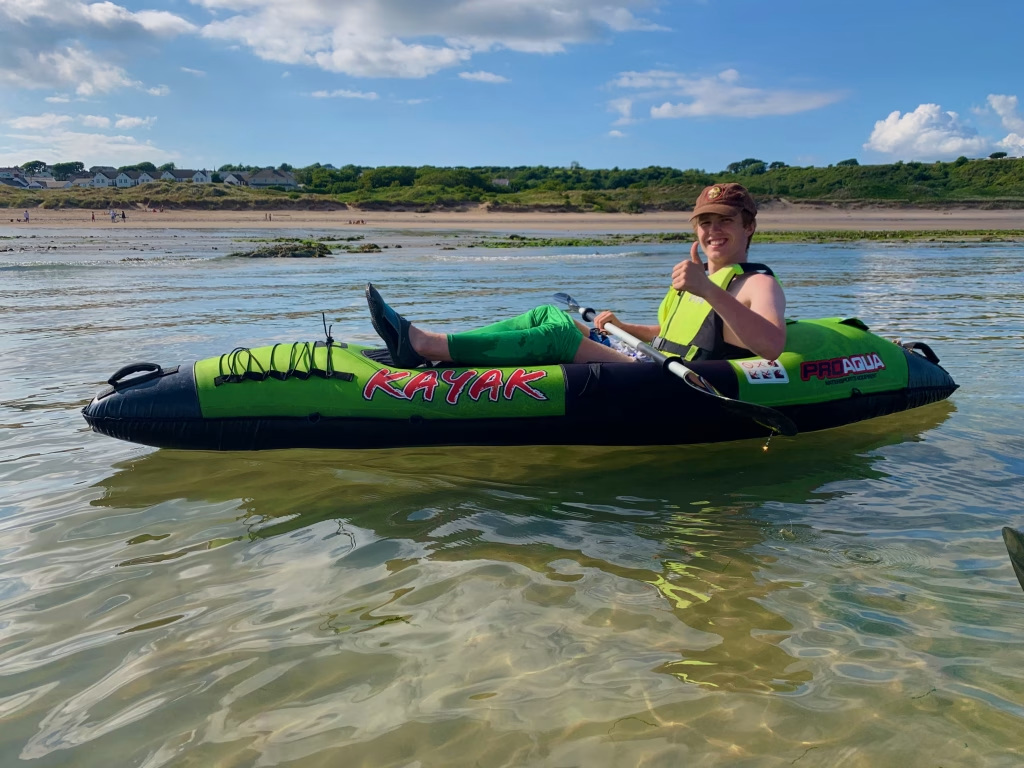
Lloyd and I used Pro Aqua inflatable kayaks on this paddle.
The Pro Aqua kayaks were sold by Clas Ohlson but they have been discontinued for a while. They are Category 2 inflatable kayaks being made from vinyl encased in protective fabric. This makes them much more protected from the puncturing and UV light exposure.
Sheldon used the Intex Explorer K2 kayak which is a cheaper ‘Category 1’ inflatable kayakjust made from a single layer of vinyl. They can be OK for short paddles on calm water but are not very robust, as evidenced on this paddle when Sheldon had a puncture in the base of his Intex kayak.
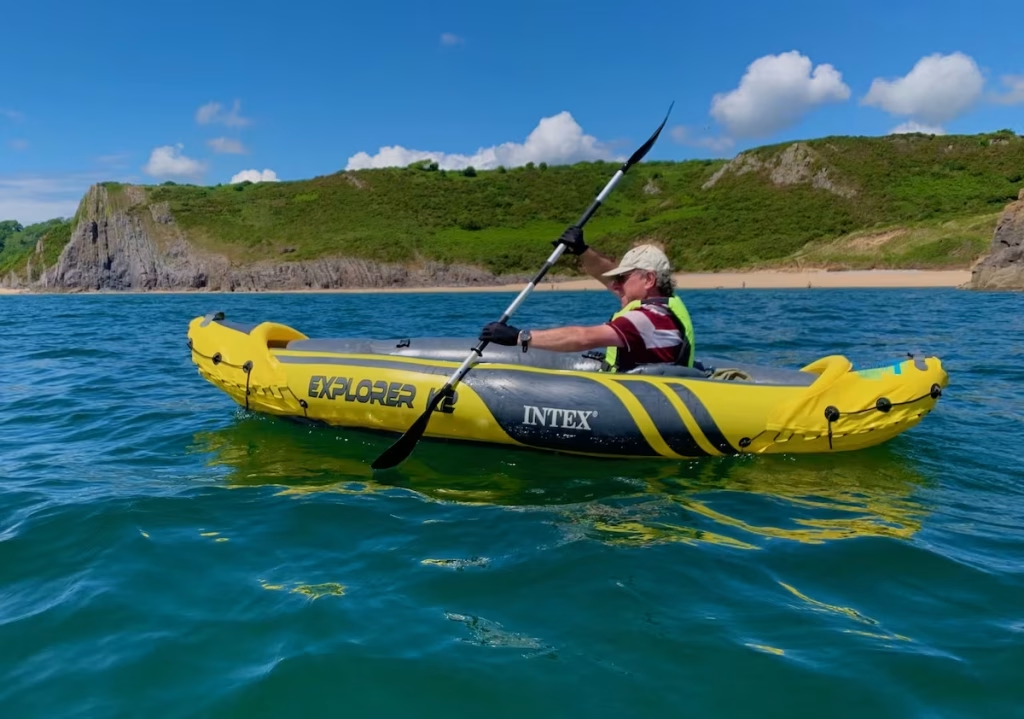
The Intex K2 can be used either solo or as a tandem.
I’ve done a Guide to Buying an Inflatable Kayak blog post on my Kayaking Guide page.
7. THE WALES COAST
This 7 miles circular kayak on the Cardiganshire coast was part of the Kayak Crew’s undertaking to kayak around the entire 870 miles or so of the Wales Coast. We are breaking this up into sections which are generally between about 6 miles and 12 miles.
We are writing up blogs for all of our paddles around the Wales Coast and are also uploading videos to our Youtube Channel ‘Kayak Crew’.
8. SUMMARY
This 7.5 miles paddle took us through some stunning scenery in a very unspoiled section of coast. The Gower has some of the best coastline that we’ve paddled anywhere, with its breathtaking cliffs interspersed with wide sandy beaches and clean, aqua marine waters.
As long as the sea conditions are weather are favourable, this is a fairly easy route along some of the most picturesque parts of the Gower Coast.
great place to visit, thank you for creating this article