
CONTENTS
- Date, Distance & Duration
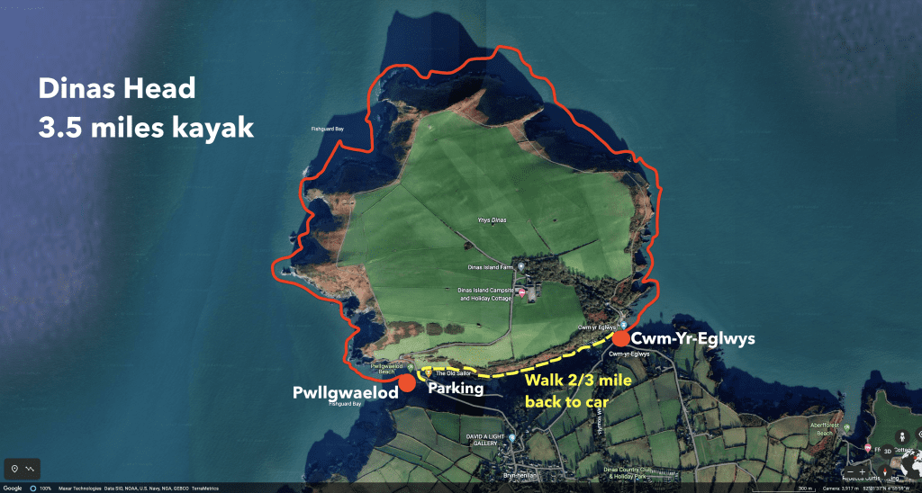
- Map of Route
- Tide Times & Weather
- The Dinas Head kayak
- Logistics
- Pubs & Restuarants
- Dangers & Issues
- Kayak/s used
- Wales Coast Kayak
- Summary
1. DATE, DISTANCE & DURATION
31 August 2020.
3.5 miles route.
Launched from Pwlgwaelod at 13:30. Landed at Cwmy-Yr-Egwlys at 16:30. 30 minutes lunch stop and 2.5 hours paddling
2. MAP OF THE ROUTE
3. TIDE TIMES & WEATHER
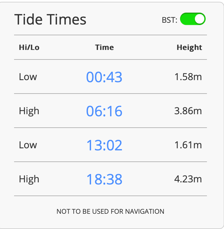
It was a warm, sunny day with a high of about 19 Celsius and light winds of about 7mph from the South.
4. THE DINAS HEAD KAYAK
We launched from Pwllgwaelod beach on the South side of Dinas Head at about 13:30.
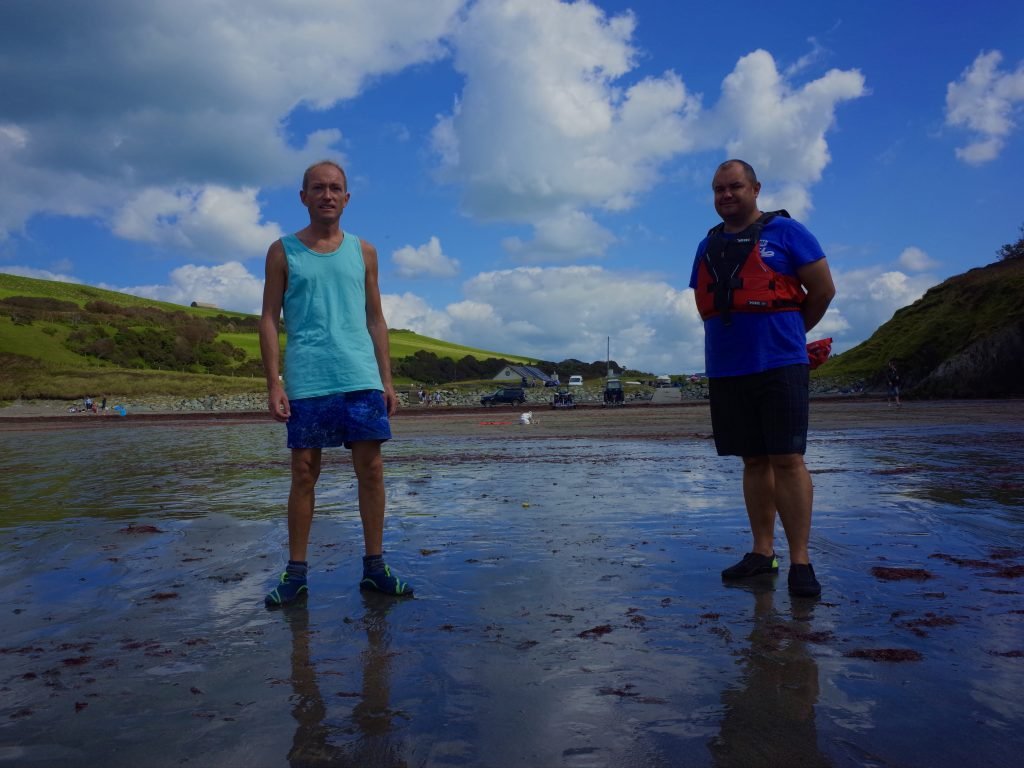
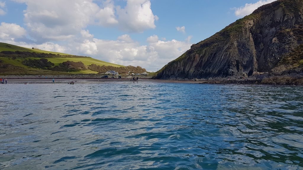
To the South, we could see the ferry port of Fishguard flanked by Strumble Head.
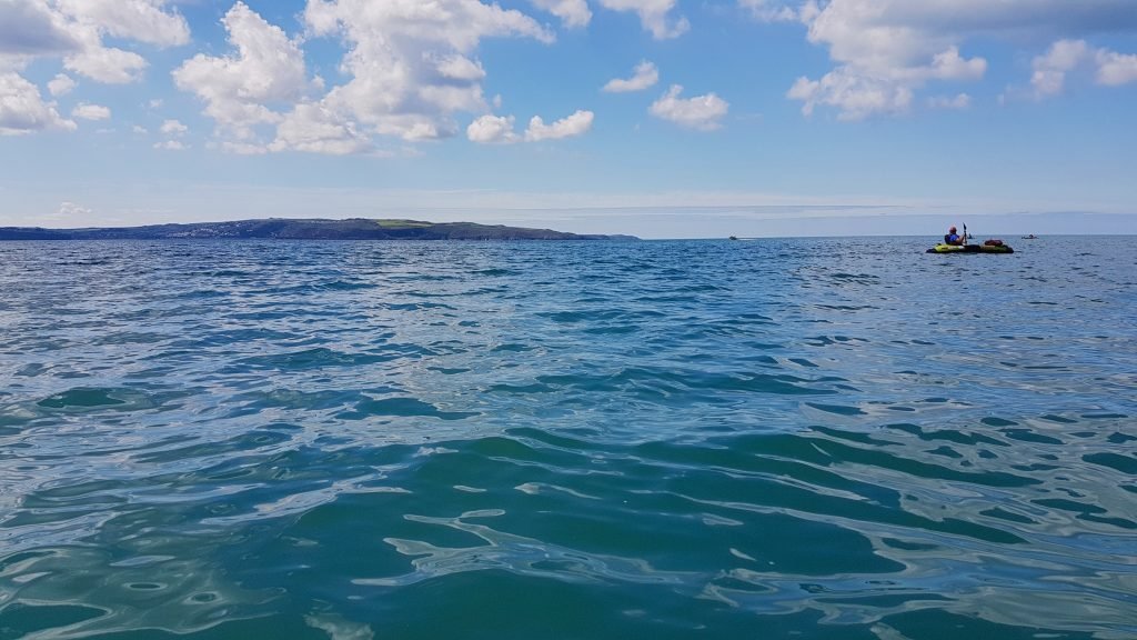
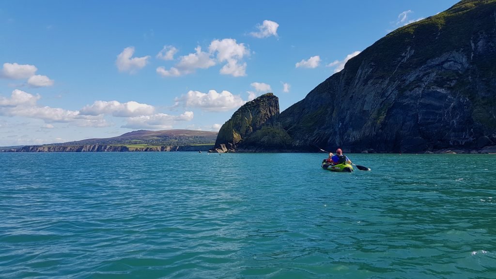
We started paddling Northwards around the headland which comprises Dinas Head on a fairly flat and calm sea.
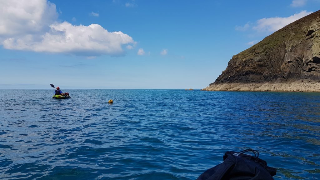
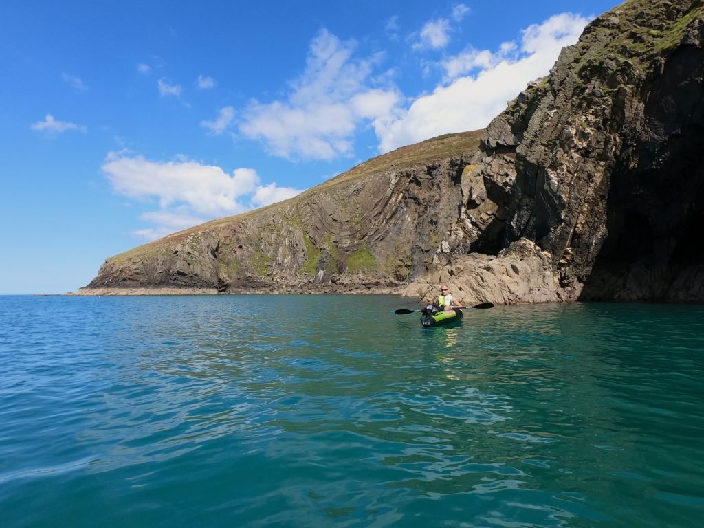
We enjoyed exploring the inlets and caves which are all around the circumference of Dinas Head.
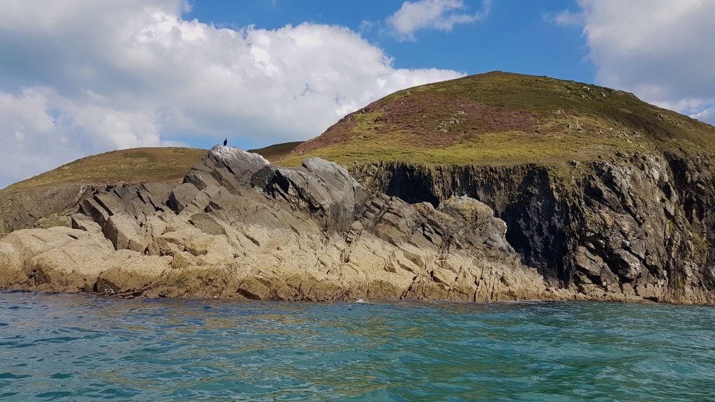
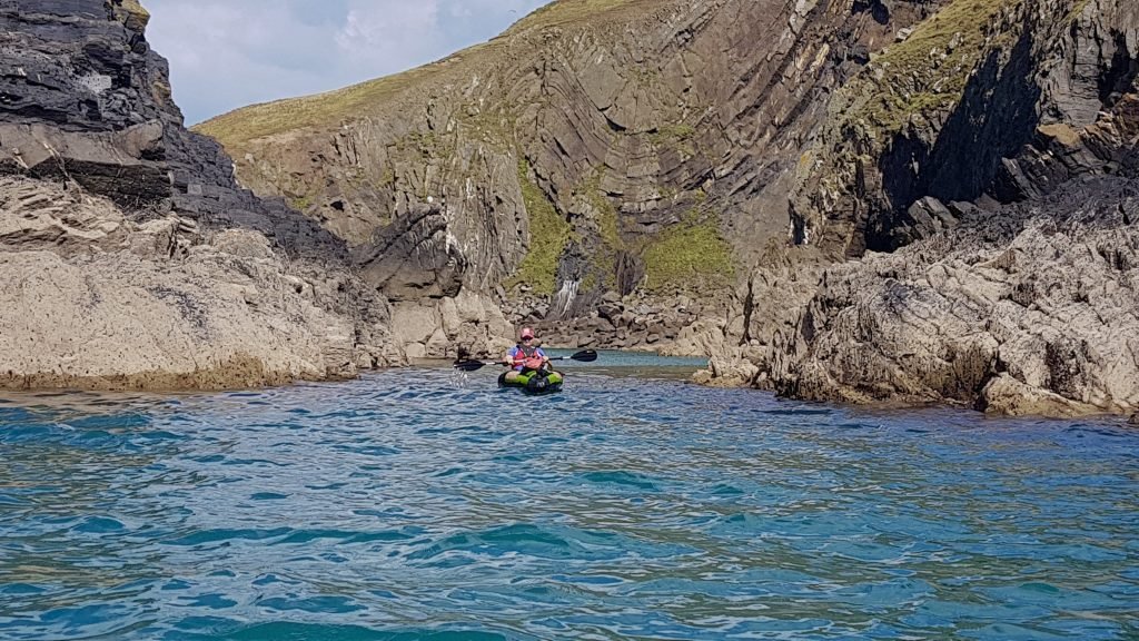
Exploring the inlets and ravines around Dinas Head certainly slowed down the pace at which we paddled the route but we were not in a rush.
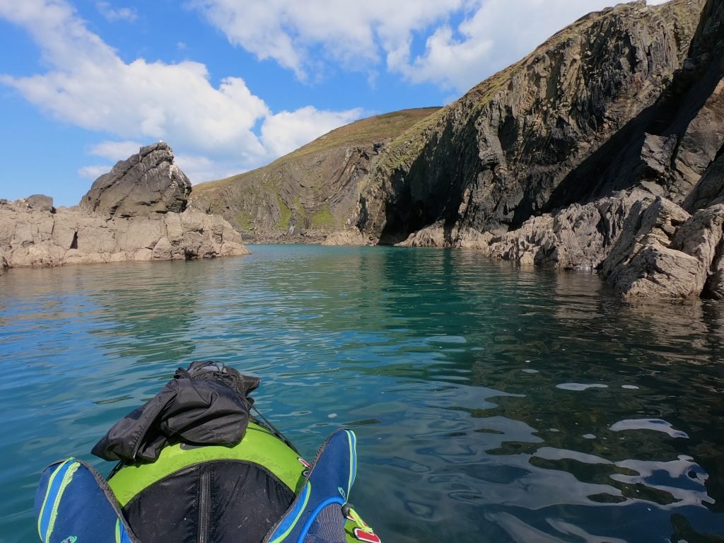
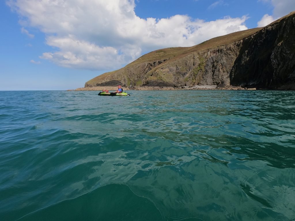
You can spend hours exploring Dinas Head by kayak due to the number of inlets and coves.
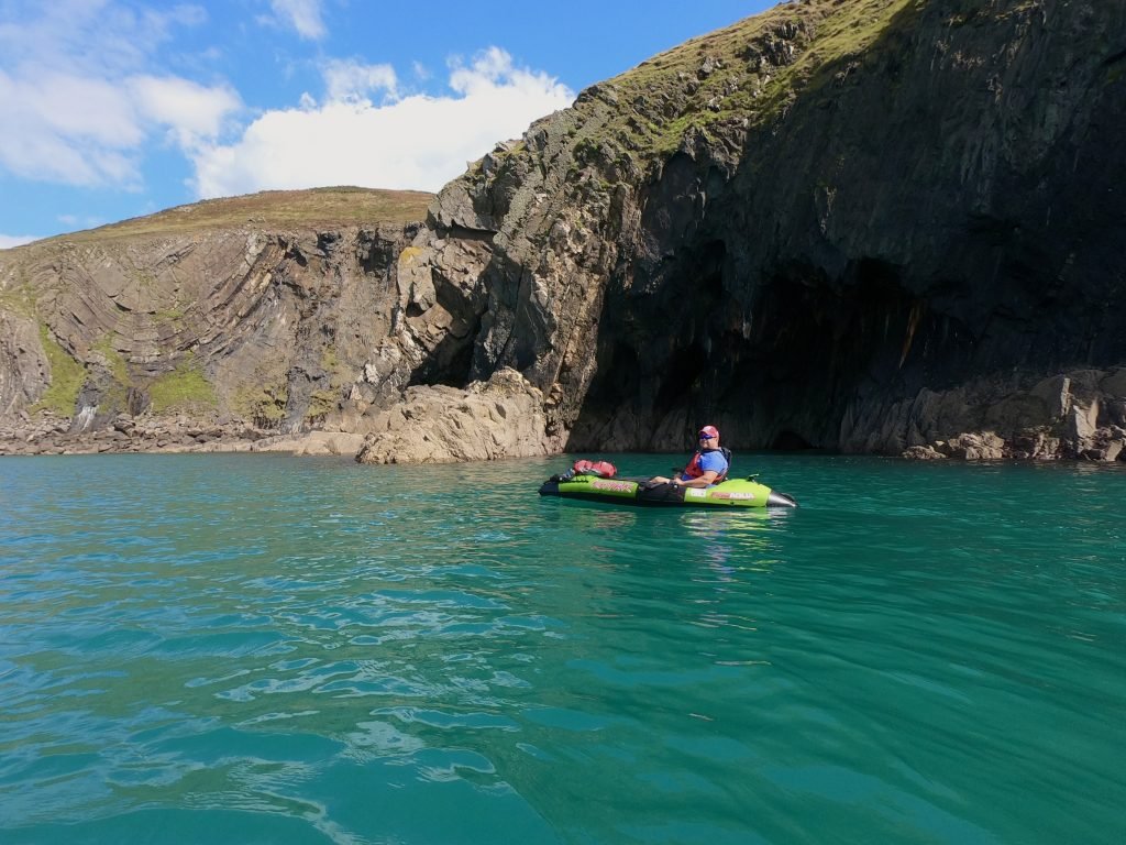
We were accompanied by a harsh corus of of screeches and chattering of countless seabirds including gulls, razorbills, guillemots and fulmars.
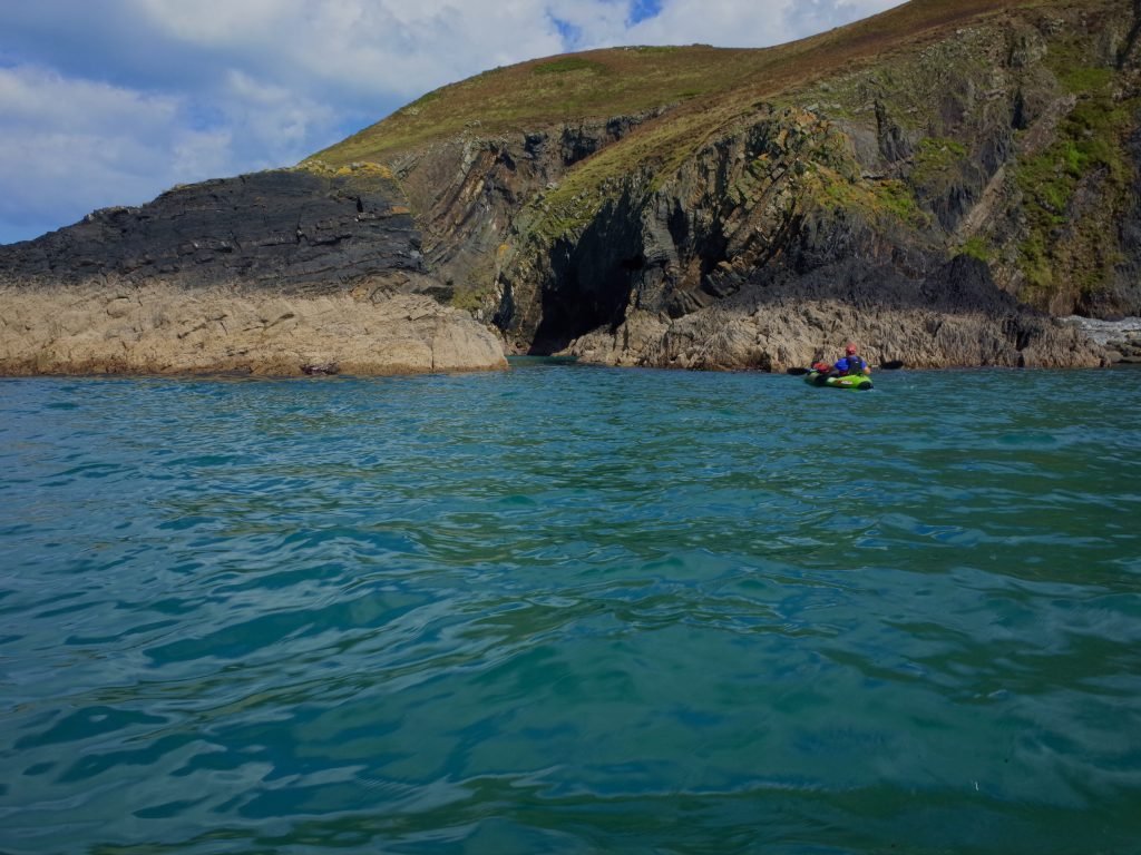
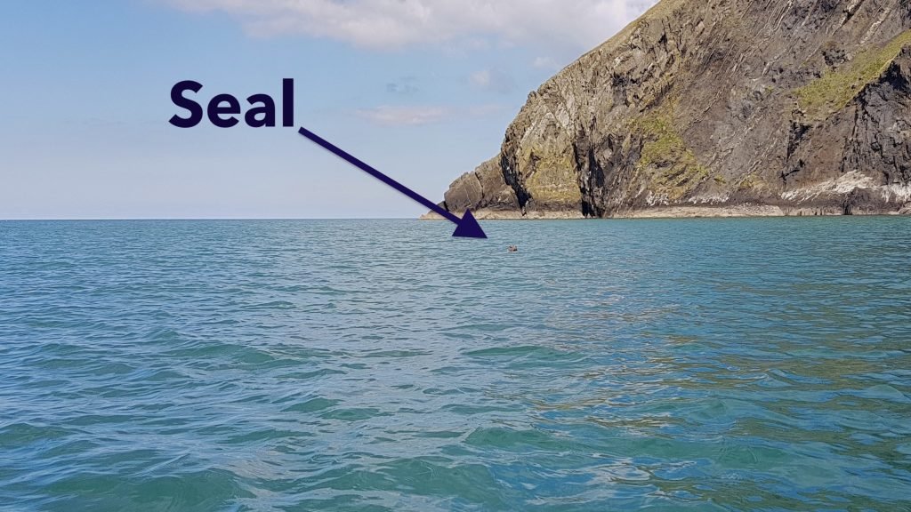
We had already seen a couple of seals but not been quick enough to get them on camera when we finally got a chance to snap another seal which popped up near us and then circled around us for a while.
The cliffs of the headland towered up above us. Dinas Head is a sandstone headland separated from the mainland by a low narrow valley with beaches at either end at Cwm yr Eglwys and Pwllgwaelod.
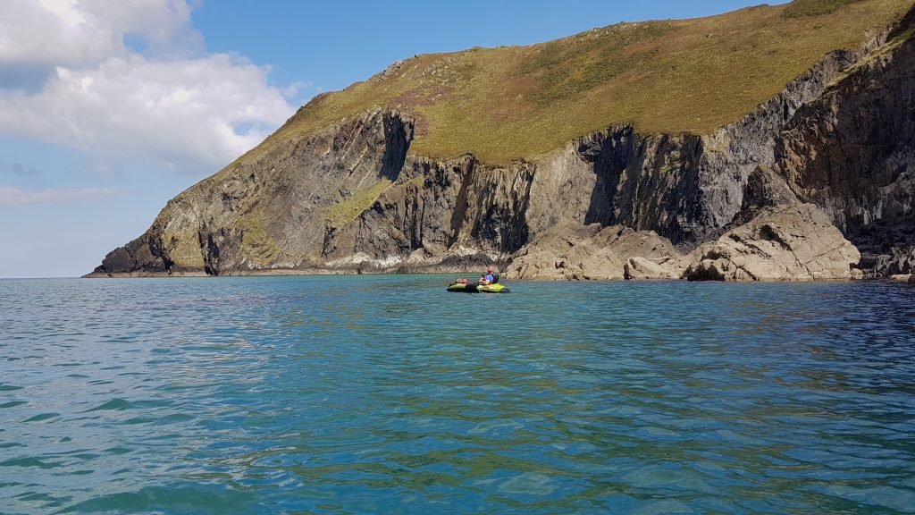
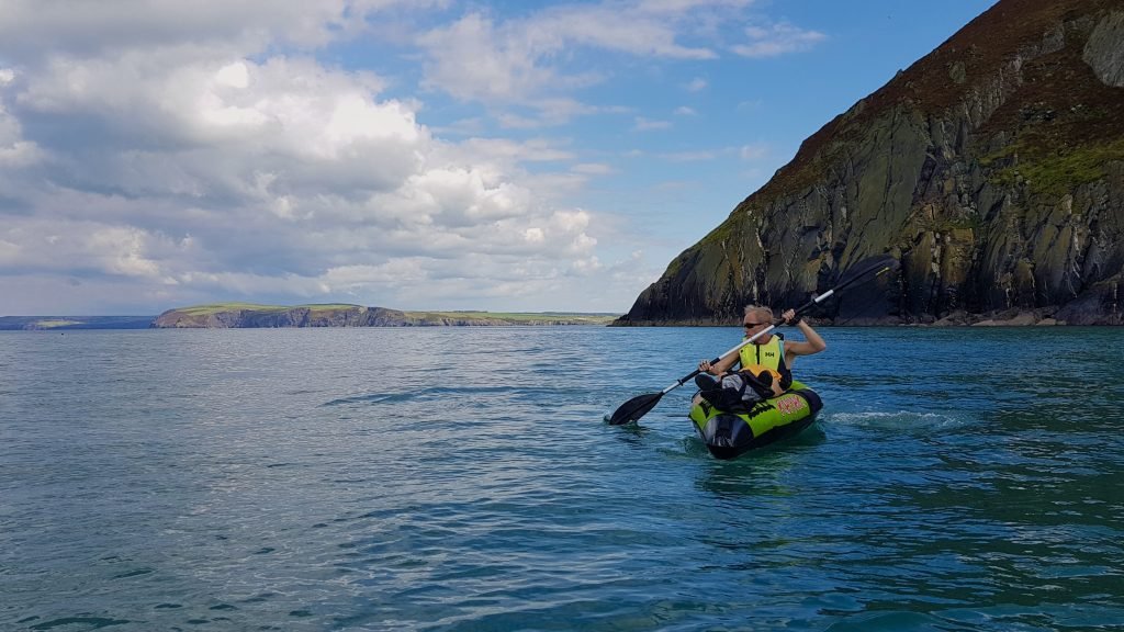
As we rounded the headland, it opened up wide, sweeping views Northwards up Cardigan Bay.
We stopped at the point of the headland for about 25-30 minutes for an on the water lunch break and ‘cider stop’.
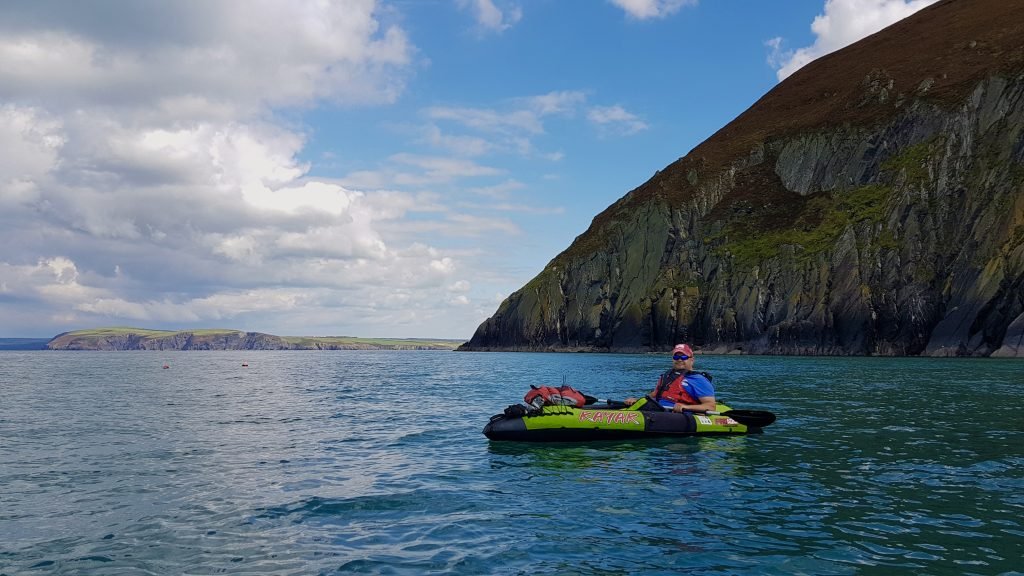
The view up the coast was stunning since we could see all the way up towards Cemaes Head, the headland which forms the Southern end of the Teifi estuary at Cardigan.
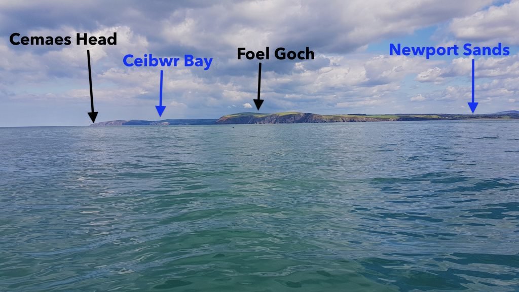
The Preseli Mountains were a dramatic backdrop to the coastline. We spotted another seal, its dark grey head bobbing above the water about 50 meters away.
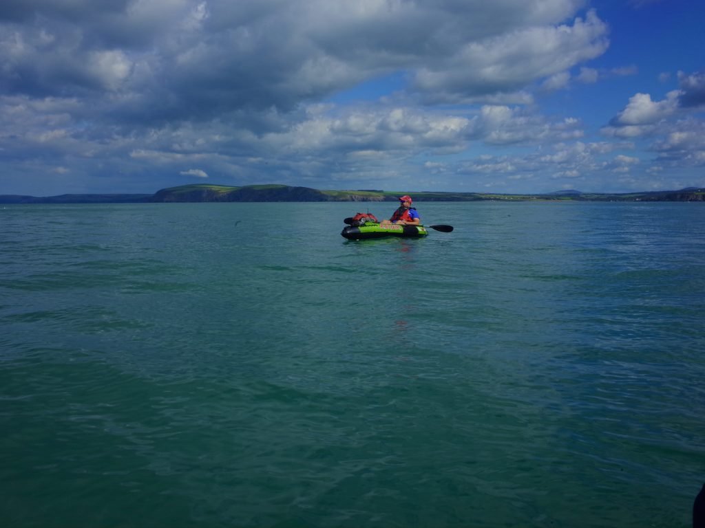
We turned back towards land and started paddling along the Northen side of Dinas Head towards Cwm-Yr-Egwlys.
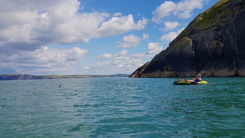
Mynydd Carningli dominated the coastline above Newport. The summit features a large and prominent archeological site, one of the largest hillforts in West Wales.
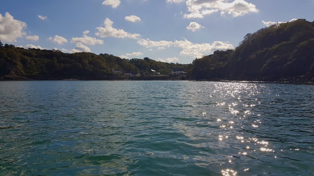
The sheltered beach at Cwm-Yr-Egwlys loomed into view. We landed on the beach at about 16:30.
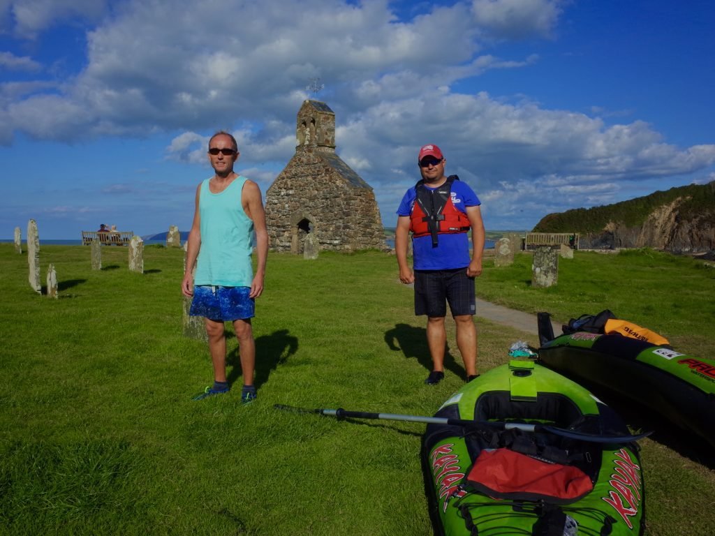
We carried our kayaks up onto the area next to the remains of the ancient church of St Brynach where we delated them.
What a great paddle past some amazing scenery on what is one of favourite sections of the entire Wales Coast.
5. LOGISTICS
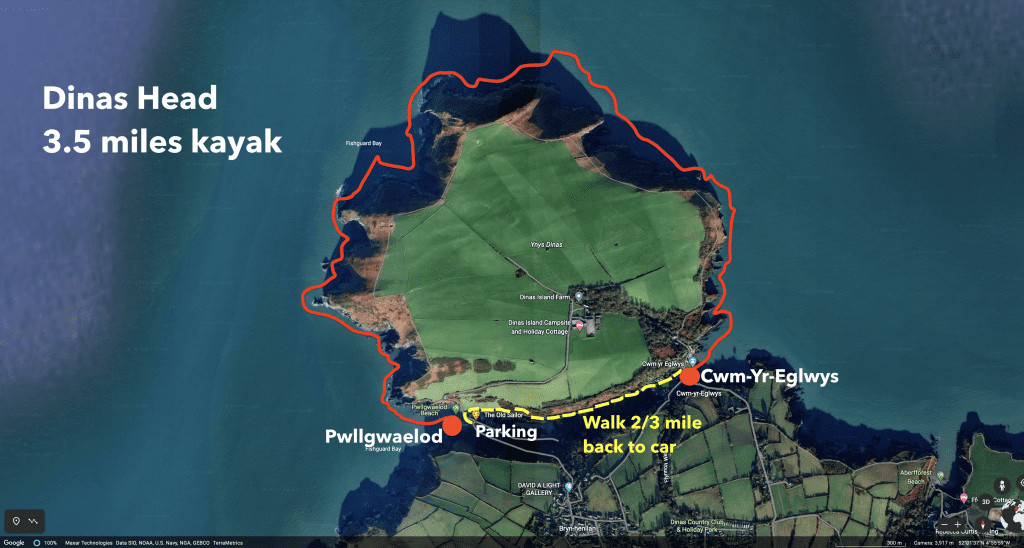
This was a rather unusual kayak from a logistics point of view due to Dinas Head being a peninsular which mean that it was almost a circular route even though we only paddled one way.
As shown on the map of the route which is replicated below, we walked about 2/3 of a mile back from Cwm-Yr-Egwlys to the car at Pwllgwaelod.
We both used light and compact inflatable kayaks which only weight 10kg so it was not a problem carrying them and the other gear back along the foot path to Pwllgwaelod. It only took about 25 minutes to walk back to Pwllgawelod, which was far quicker than paddling back around Dinas Head.
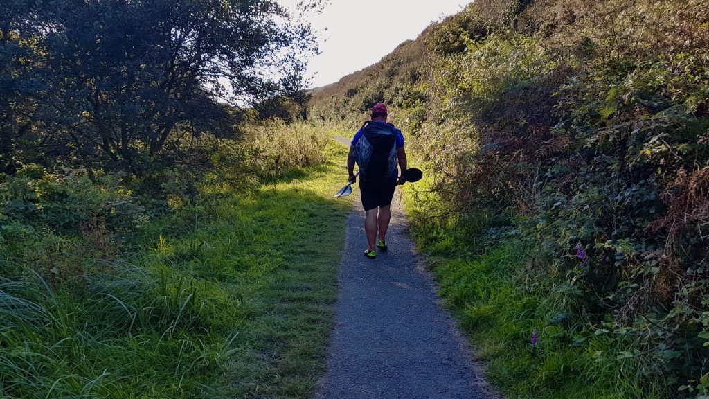
The path was tarmac and flat almost all the way so it’s not a hard walk even if you have heavier inflatable kayaks. If you have the ones which come in backpacks with wheels then you could easily just pull them along the path. If you had a hardshell kayak then you could still manage it if you have a trolley to wheel it on.
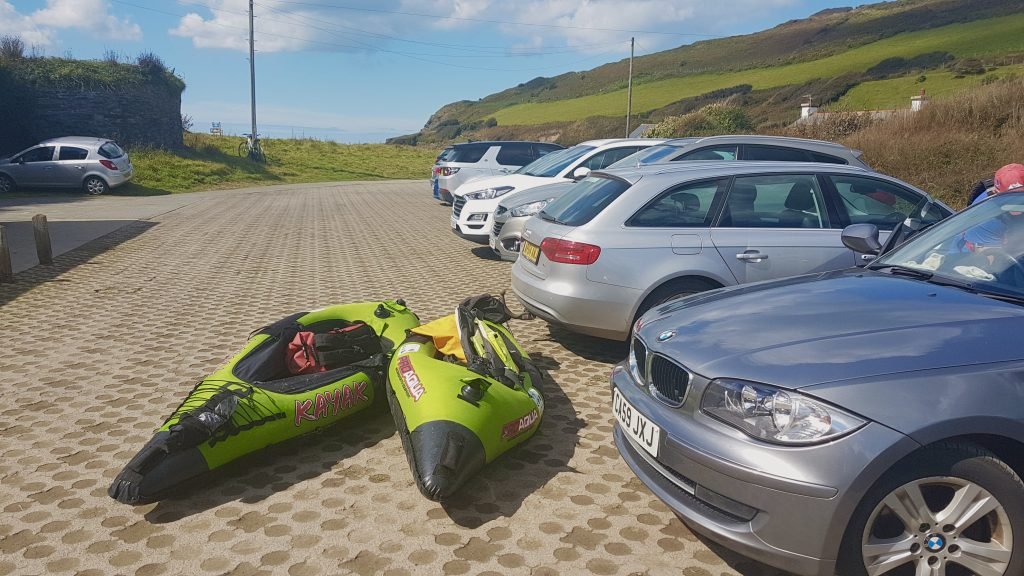
At Pwllgwaelod, there is a quite large free car park only 50 meters or so from the beach which has toilets. It can get very busy during peak periods.
If you wanted to leave a car at either end of the route then at Cwm-Yr-Egwlys there is also quite a large free car park near the beach.
If you did want to get a bus then the 405 bus service between Cardigan and Poppit is called the ‘Poppit Rocket’. The 405 bus does stop at Pwllgwaelod at the car park next to the beach. It does not though stop at Cwm-Yr-Eglwys, only at Dinas Cross which is about a mile from Cwm-Yr-Egwlys, so using a bus is not an option for this particular route. The link to the Pembrokeshire bus timetables including the 405 Poppit Rocket is below.
https://www.pembrokeshire.gov.uk/bus-routes-and-timetables/bus-routes-list-coastal-buses
If you wanted to do a longer route from Newport, around Dinas Head and to Pwllgwaelod (about 6 miles paddle) then the 405 Poppit Rocket bus can then be used because it does link between Newport and Pwllgwaelod.
6. PUBS & RESTAURANTS
The Old Sailor, Pwllgwaelod
This is a cracking pub on the beach at Pwllgwaelod. The beer garden out front has views across the bay towards Fishguard and Stumble Head.
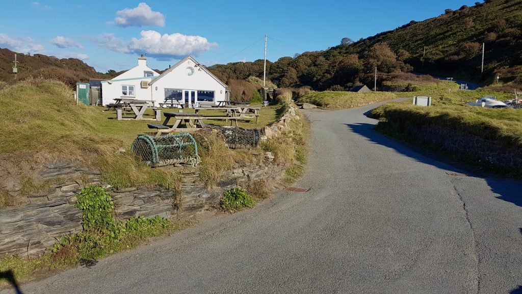
The Old Sailor does excellent food especially fish dishes. It is highly recommendable as a post paddle pub for some food and a drink.
7. DANGERS & ISSUES
This is generally a safe relatively safe paddle and we came upon no noticeable tidal races or other issues when paddling around Dinas Head. We would though point out the following.
Tides
While Cardigan Bay is of course tidal, the tide is nowhere near as much of an issue as it is with other section of coast we have paddled, such as the South East Wales Coast. The tide runs South to North in Cardigan Bay when it’s coming in. When it’s going out, it runs North to South.
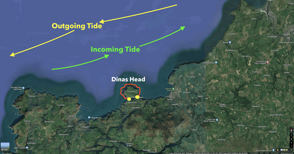
While it can run at maybe 1-2 knots or so for a while when it’s in between high and low tide and it will noticeably assist, you can go against the tide if necessary on Cardigan Bay with no problems, assuming you are not on one of the estuaries which are along the Bay or paddling on one of the sections affected by very strong tidal races.
Sea Conditions & Wind
Like any sea kayak, you need to check the weather and sea swell forecast before going.
We usually use www.surf-forecast.com which is linked below. The forecast for Newport is the most relevant to this route, linked below.
https://www.surf-forecast.com/breaks/Newport/forecasts/latest/six_day
8. KAYAKS USED
I did this paddle in August 2020 when all of the Kayak Crew were still using Pro Aqua inflatable kayaks.

The Pro Aqua kayaks were sold by Clas Ohlson but they have been discontinued for a while we believe.

They are made from traditional construction techniques for inflatable kayaks using PVC tubular sides.
9. WALES COAST KAYAK
This 3.5 miles kayak on Cardigan Bay was part of the Kayak Crew’s undertaking to kayak all of the 870 miles or so off the Wales Coast.
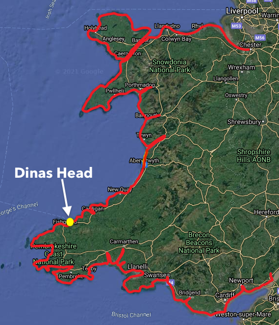
This is a huge undertaking and this adventure has taken us to parts of our coastline that we had never been too before.
10. SUMMARY
Dinas Head is an amazing peninsular to kayak around. While 3.5 miles is much shorter than our usual routes, the headland is littered with caves, gulleys and inlets which are a joy to explore and which cannot be rushed or bypassed, so you need to allow at least a couple of hours to do it justice.
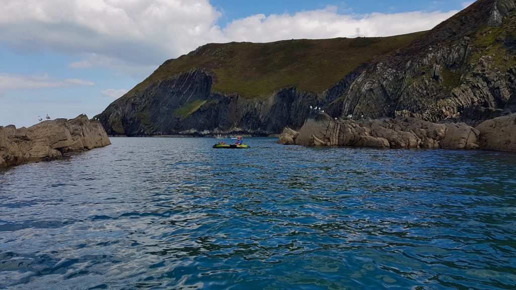
The scenery along this stretch of coastline is sublime, making of our favourite sections of the Wales coast that we have paddled. It reminded me in some of ways of parts of the South West coast of Ireland that we had paddled back in 2019.
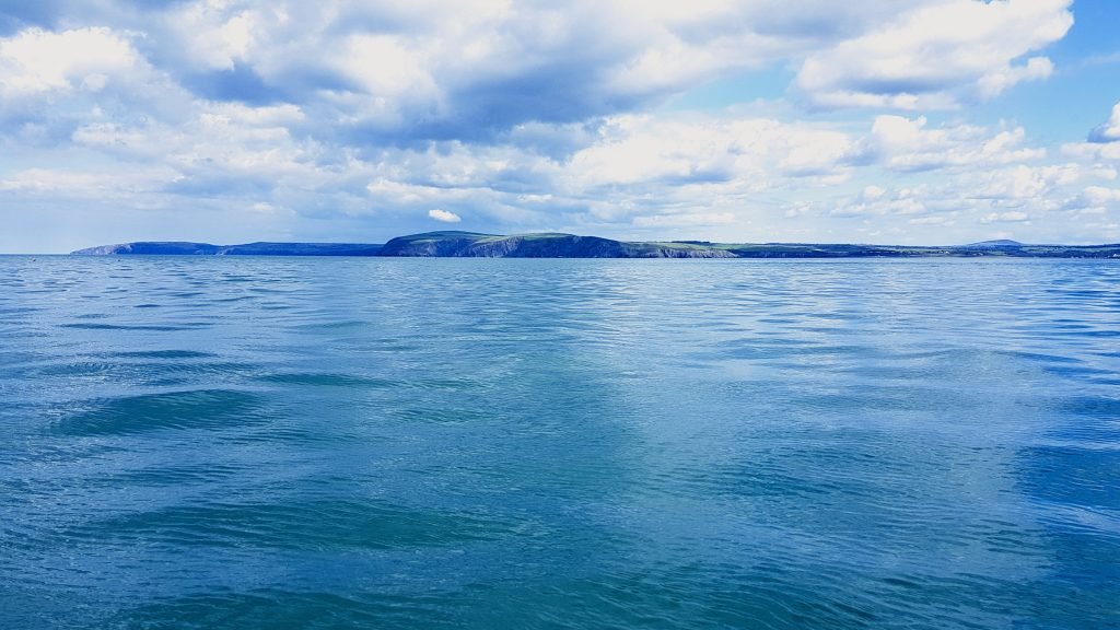
Dinas Head is often called ‘Dinas Island’ and it does in many ways feel like you are paddling around an island.
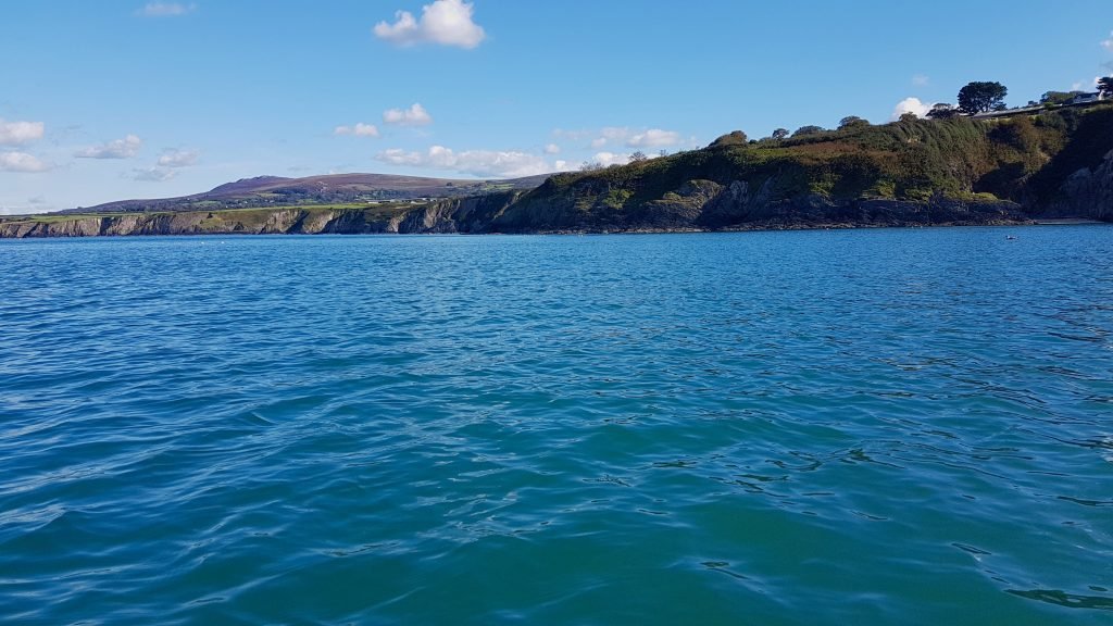
The link to our Youtube video of our paddle around Dinas Head is below.