
CONTENTS
- Date, Distance & Duration
- Map of Route
- Tide Times & Weather
- Angle to Freshwater West kayak
- Logistics
- Pubs & Restaurants
- Dangers & Issues
- Kayak used
- Kayaking the Wales Coast
- Summary
1. DATE, DISTANCE & DURATION
26 May 2023.
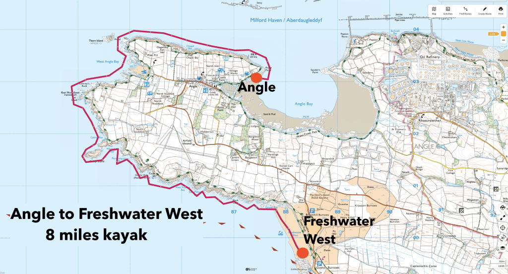
8 miles route.
Launched from Angle about 12:15. Landed at Freshwater West about 16:30. 45 minutes lunch break at West Angle Bay.
3 hours 30 minutes paddling.
2. MAP OF THE ROUTE
3. TIDE TIMES & WEATHER
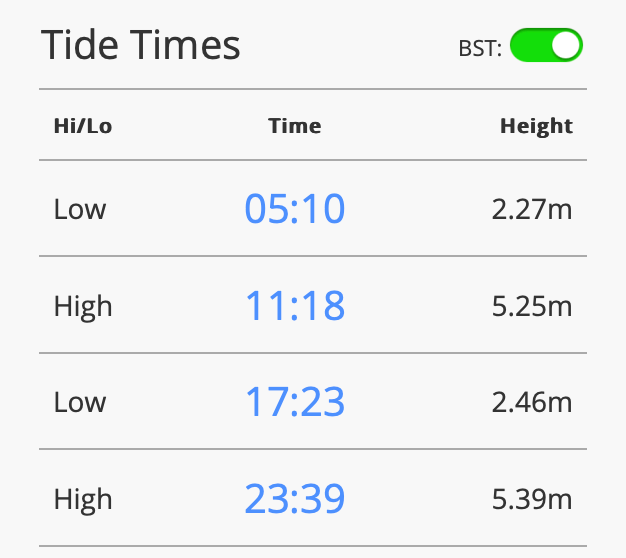
The tide times for Milford Haven on 26 May 2023 from tidetimes.org are below.
It was sunny day with a high of about 20 Celsius and fairly light winds of about 9mph from the North.
4. ANGLE TO FRESHWATER WEST KAYAK
We launched at about 12:15pm from near to the Old Point House pub at Angle.
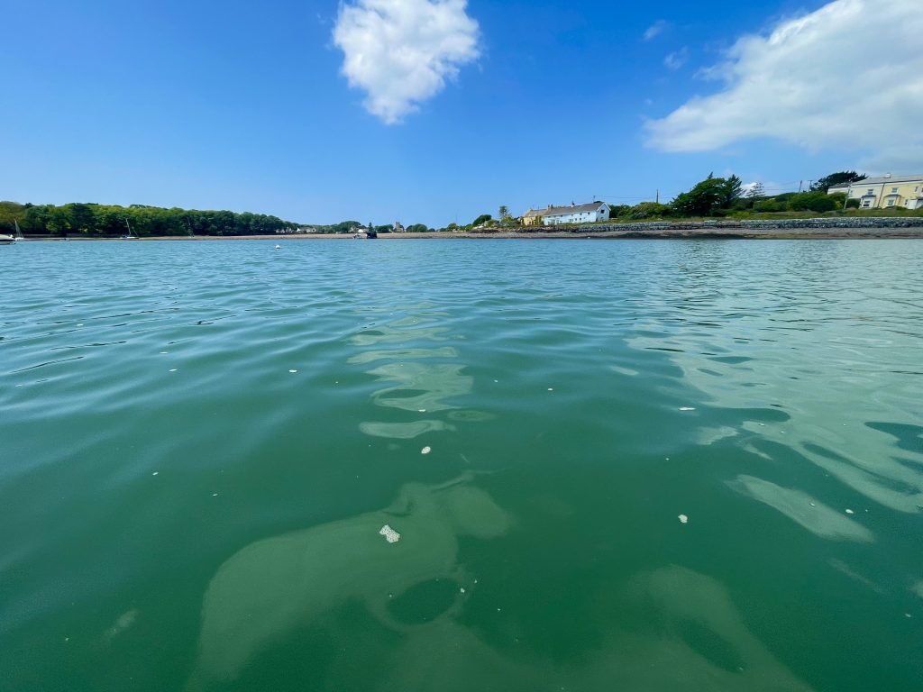
We paddled back into Angle Bay, passing the quaint village of Angle which is clustered around the 14th Century St Mary’s church.
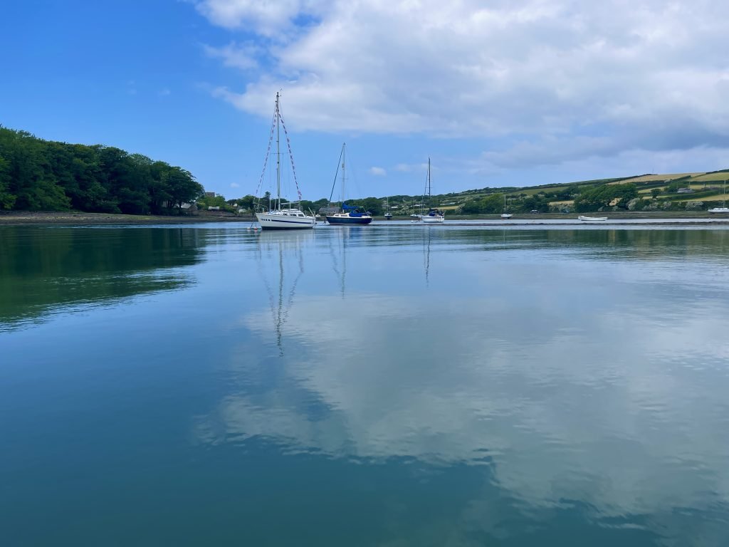
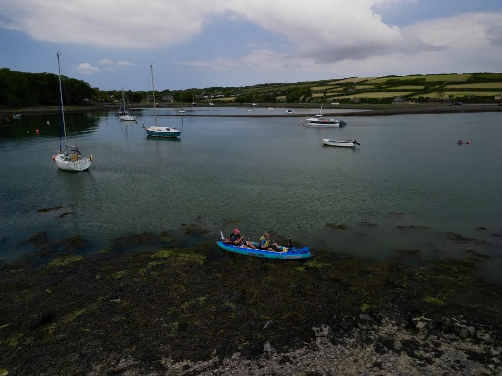
After our quick circuit of part of the bay at Angle, we turned around and started to head back towards Angle Point.
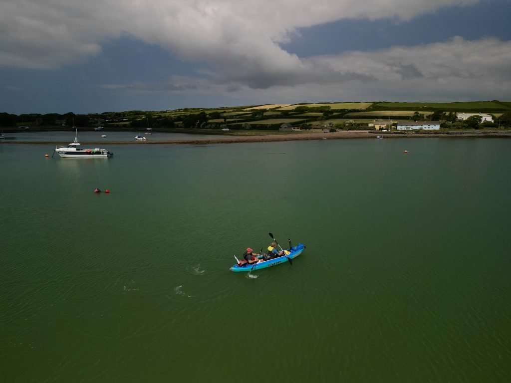
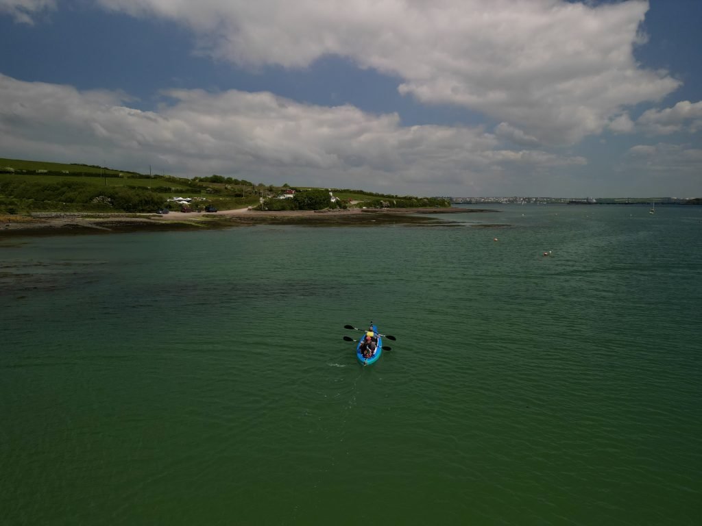
Passing the location where we had launched from earlier, we continued Northwards, passing the historic Old Point House.
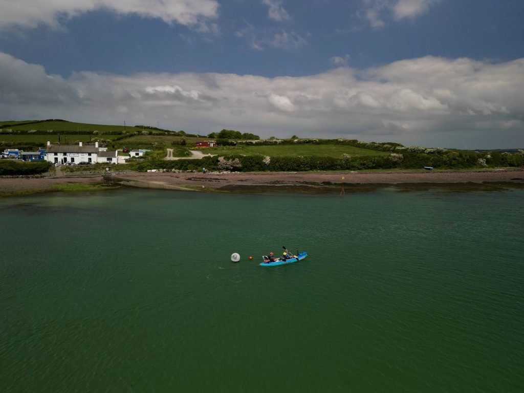
It is widely claimed that the Old Point House dates back to the 16th Century and was the haunt of Pirates and Smugglers, most notably Pirate John Callis.
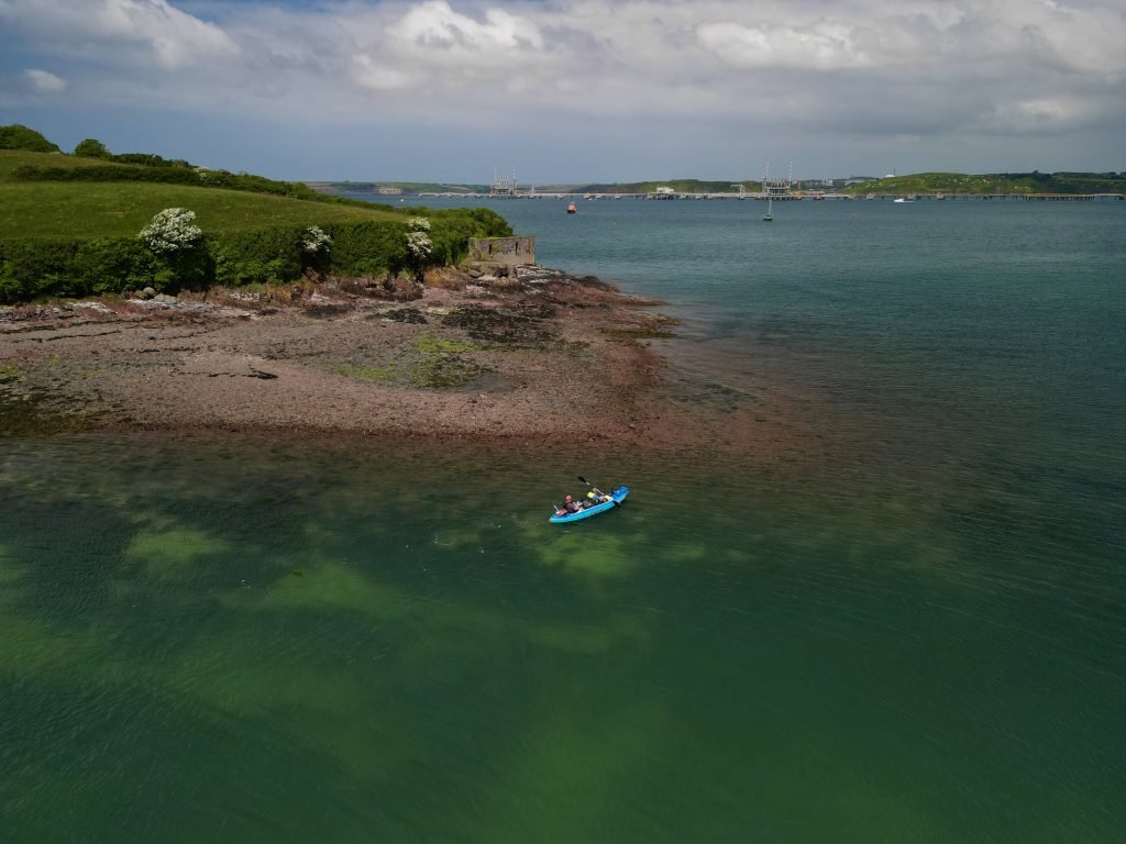
We rounded Angle Point and entered the wide expanse of Milford Haven. It reminded me of a kayak I had done the previous year on the other side of the Cleddau River from Pembroke Dock to Neyland Marina and then down to Milford Haven which I had already done the blog post for and uploaded a Youtube video to our channel.
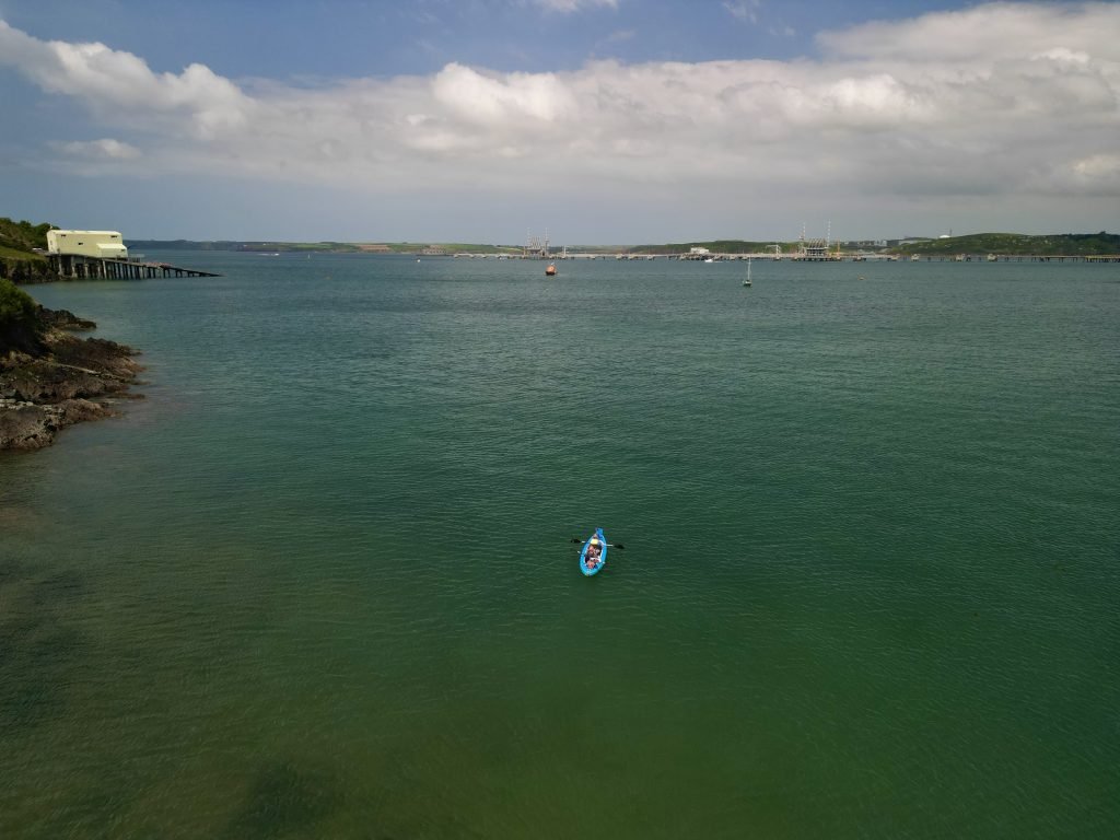
The RNLI lifeboat was moored up near to the coastguard station. Hopefully we would not be needing their services today!
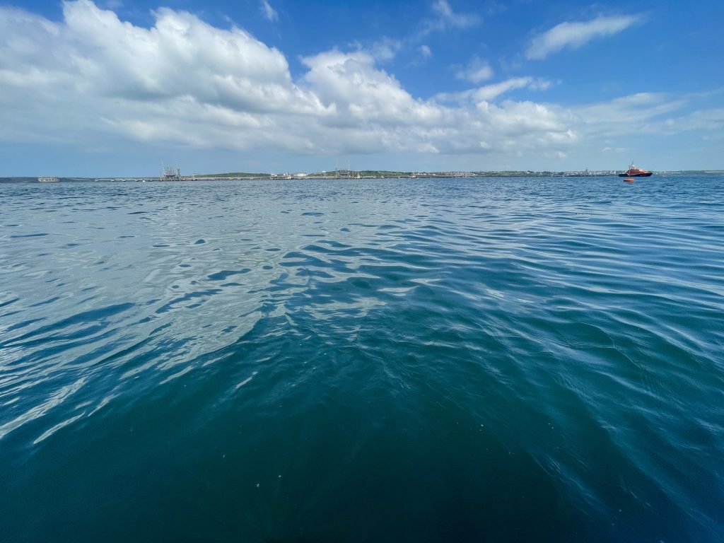
Across on the other side of Milford Haven, the terminals of the oil refineries dominated the vista, like large Mechano structures dumped into the water.
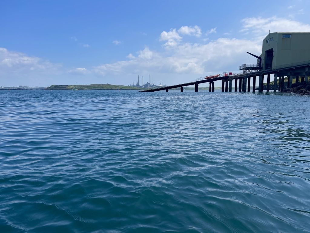
We swung West, paddling under the ramp of Angle coastguard station. Over on the other side of Milford Haven, we could see the napoleonic Stack Rock Fort rising out of the water.
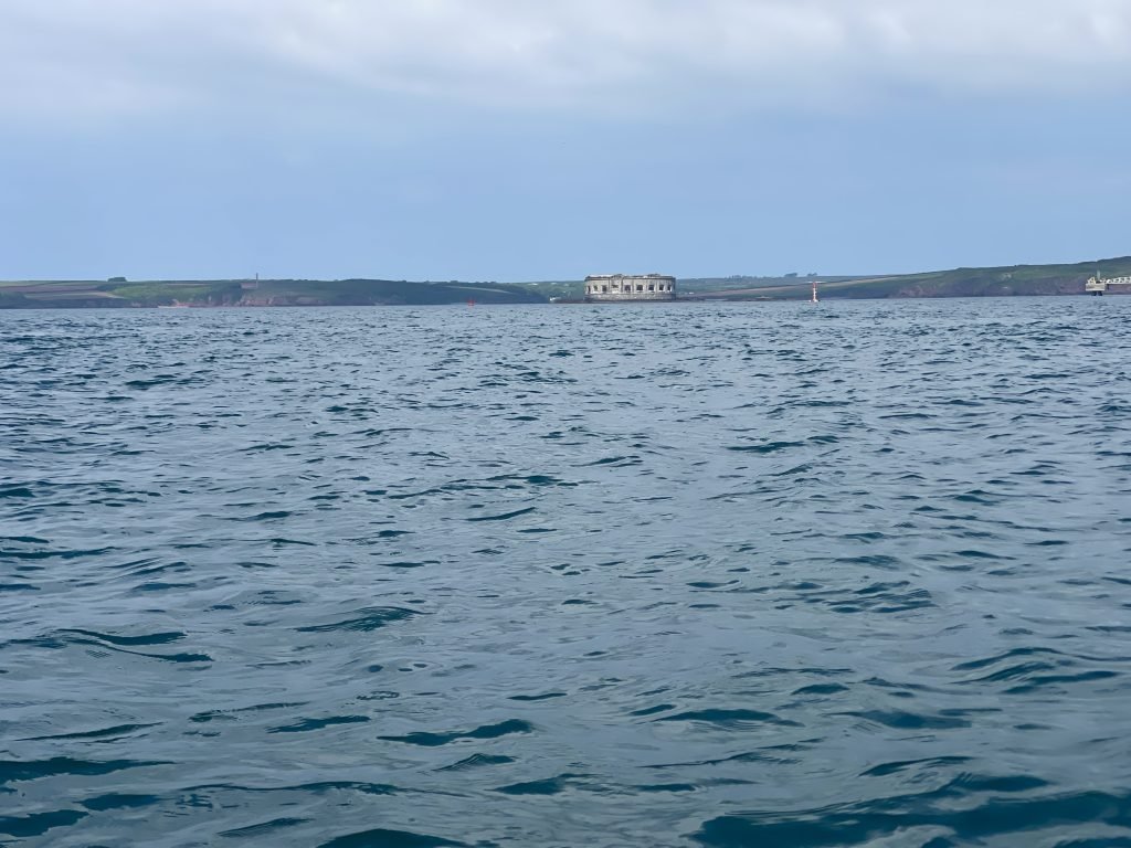
We continued West, passing near to Chapel Bay Fort, which was built in the 1860’s as part of the measures to protect the waterway. Chapel Bay Fort is today a museum with an extensive collection of military artefacts.
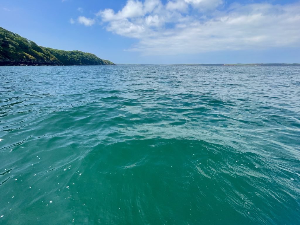
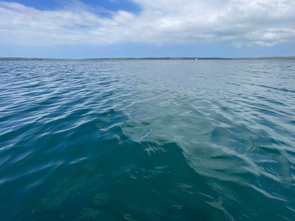
We paddled past another napoleonic fort at Thorne Island. The fort was built in the 1850’s to house gun batteries due to concerns about a potential invasion by the French.
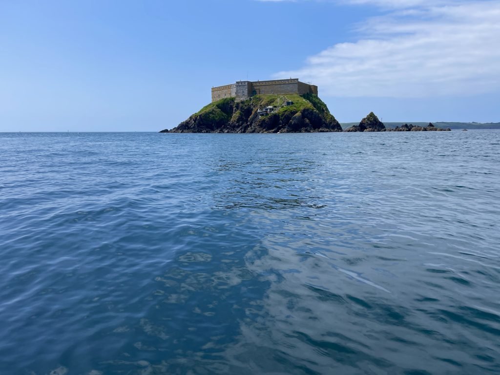
We rounded the point and started to swing Southwards towards West Angle Bay.
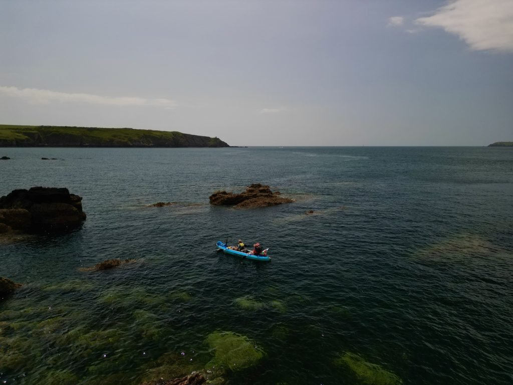
Through the crystal clear waters, we could see rocks passing underneath us worryingly close.
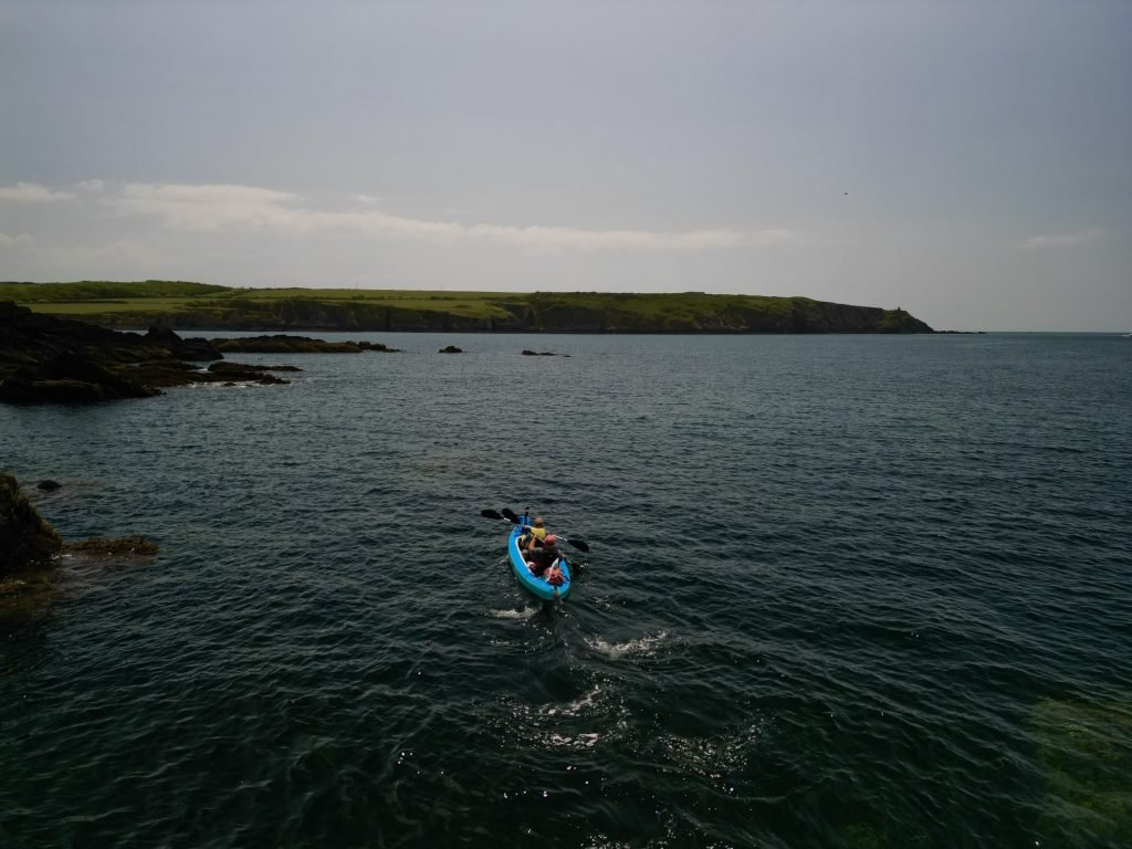
We were now just over a quarter of the way along the 8 miles route as we paddled on Southwards towards West Angle Bay.
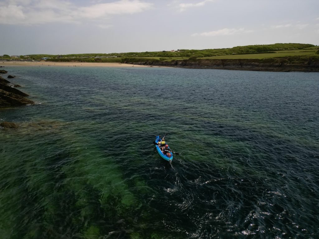
We had planned a lunch stop at West Angle Bay so we swung around towards the golden sandy beach there.
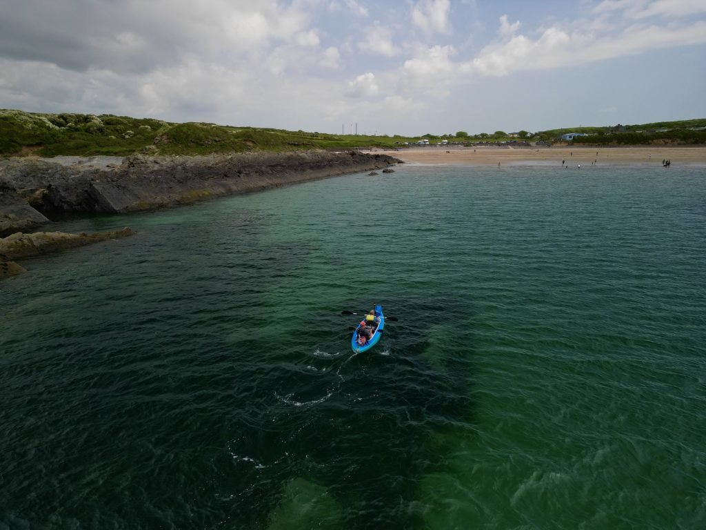
We stopped at West Angle Bay for about 45 minutes, sheltering from the wind in a cove on the edge of the beach while we swigged our ciders and munched on our sandwiches.
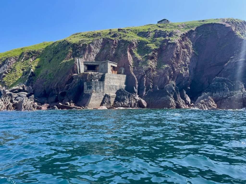
Refreshed after our lunch stop, we continued Southwards, passing more bunkers from the Second World War perched on the cliffs.
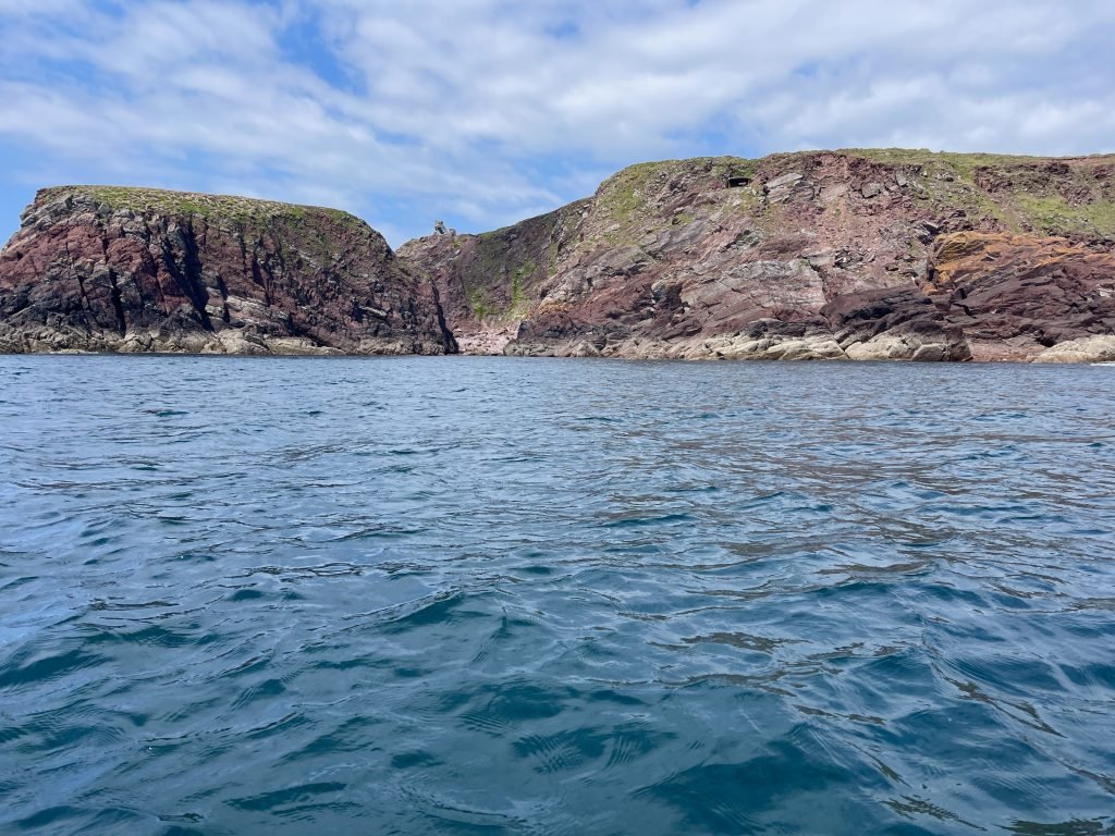
We paddled past the remains of an old building which was perched on the edge of Lowrey’s Rock as we headed South from West Angle Bay.
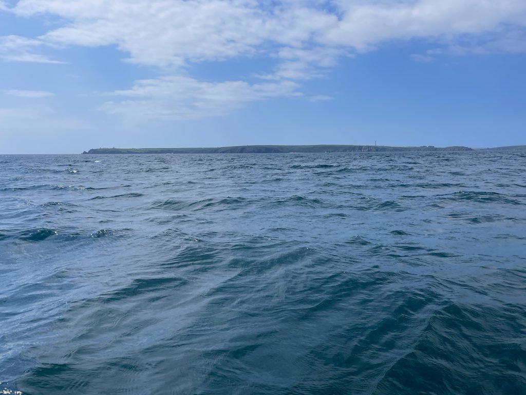
Over on the North side of the Haven, the outline of St Anne’s Head straddled the horizon. Henry Tudor landed at Mill Bay on St Anne’s Head back in August 1485 on his way to do battle with Richard III at Bosworth.
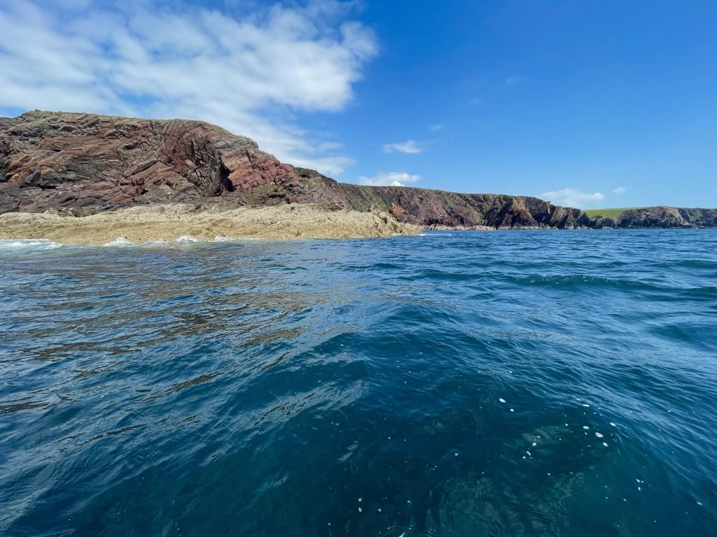
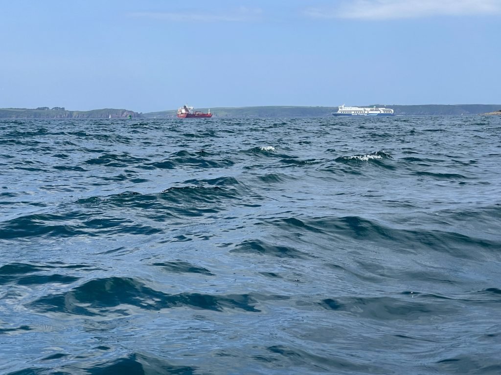
This was the most exposed part of the route and the Northerly wind was now noticeably chopping the sea up, making our kayak bob and toss in the swell.
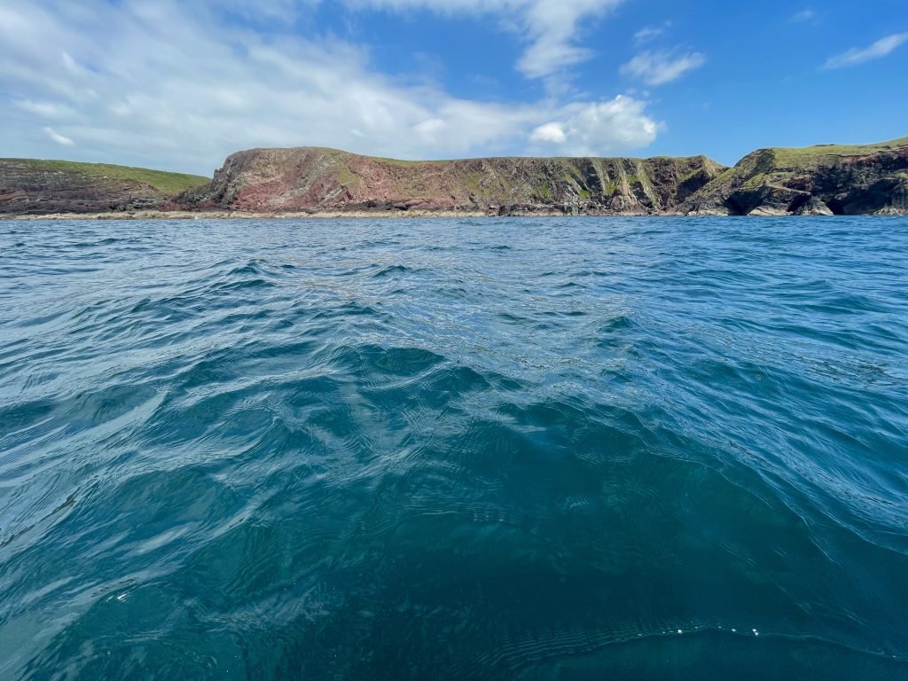
As we swung around Sheep Island, ahead of us we could got a grand vista for miles down the coast towards Linney Head.
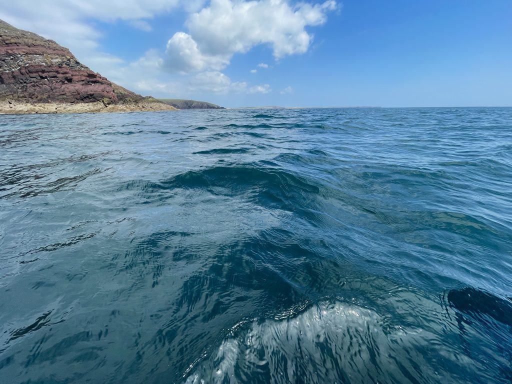
We made good progress on this leg of the route with the Northerly wind assisting us down the coast and we could now see the sands of Freshwater West coming into view.
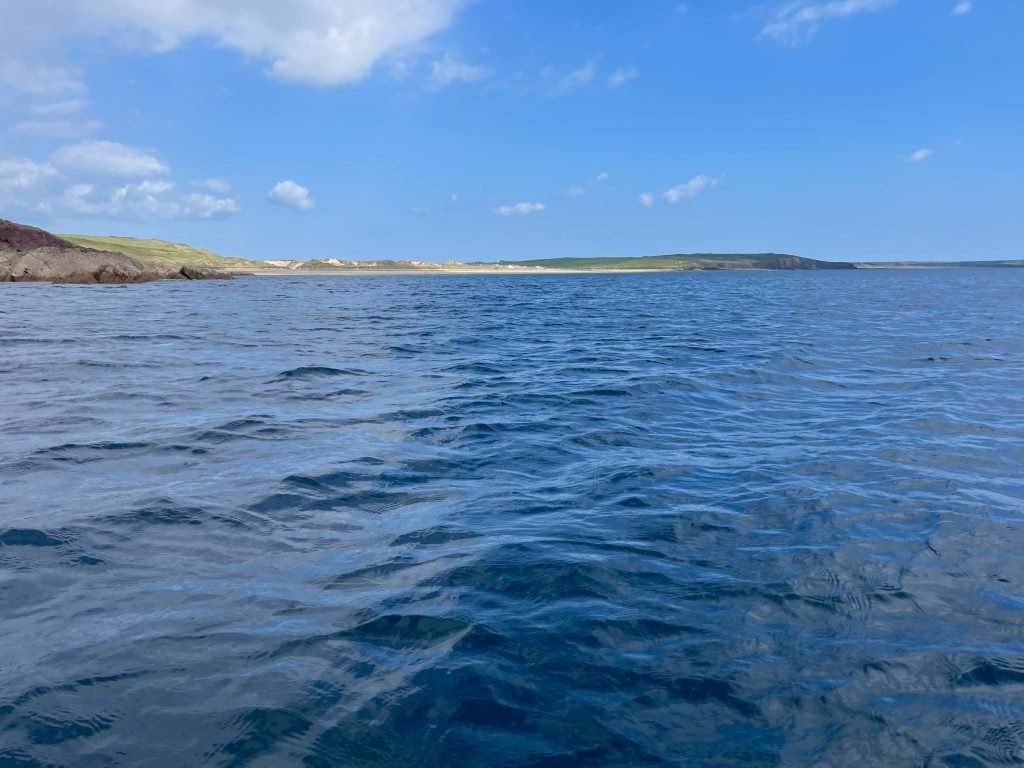
Freshwater West is a long beach blessed with golden sands and pristine, aqua marine waters. It is one of my favourite beaches.
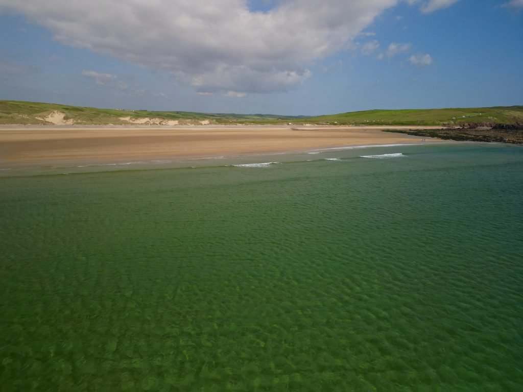
The sea was not rough but we could see breakers crashing onto the beach so we battened down the hatches and made sure all of our dry bags and everything else was securely tethered down to the kayak before we headed in to land in case we flipped in the surf.
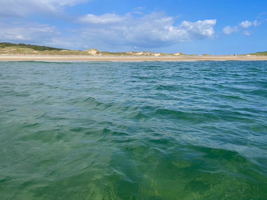
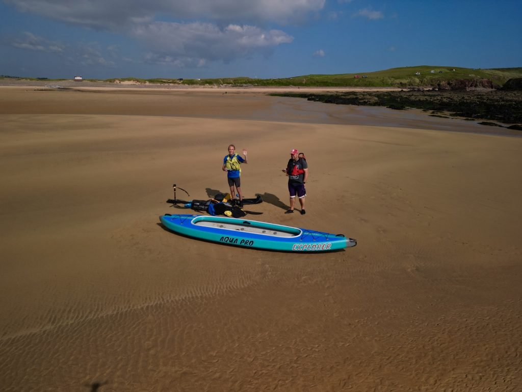
We landed on the Southern end of Freshwater West at about 16:30 without mishap. The tide had gone out a fair way, so we had to lug our kayak and gear a few hundred meters across the beach to the car park.
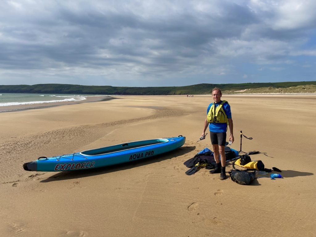
What a great paddle on another stunning section of the Pembrokeshire coast.
5. LOGISTICS
We prefer doing one way, linear kayaks so we can cover more distance and also it avoids having to double back and cover the same terrain on the return trip. However, this involves having to be able to get back from the end to the start (or vice versa) and on this occasion we left a vehicle at either end of the route.
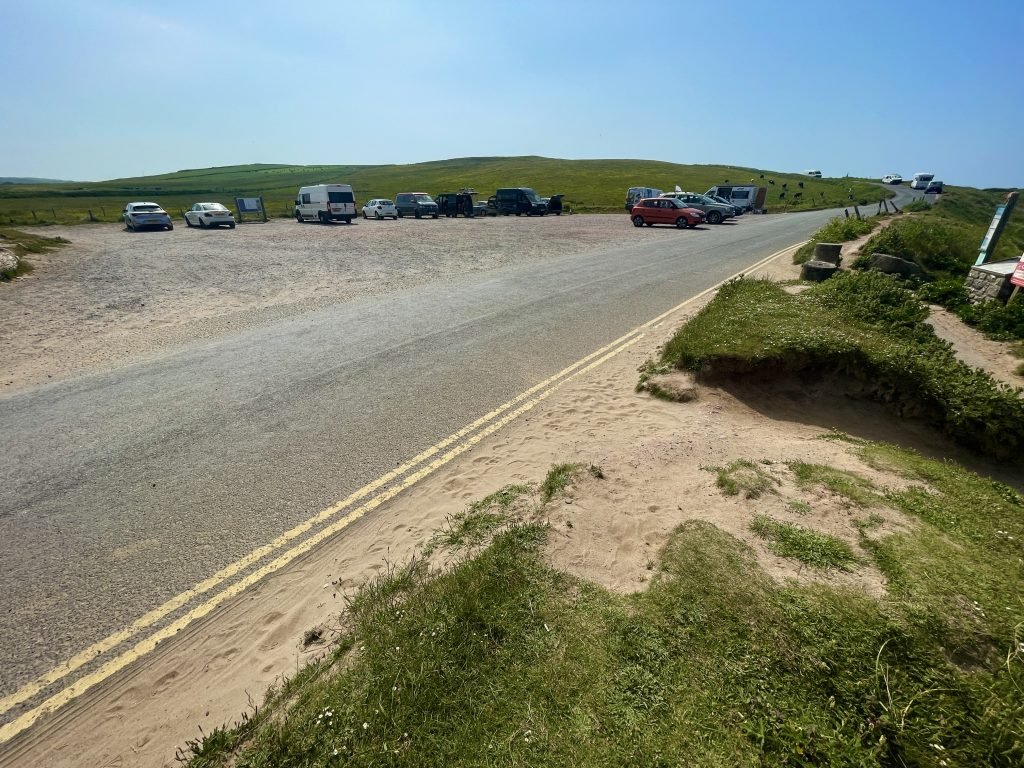
There is a large free car park at Freshwater West beach which also has toilets.
At Angle, we drove down the track which goes down to the Old Point House and parked up where the track was wide enough to enable us to park there without blocking the track itself.
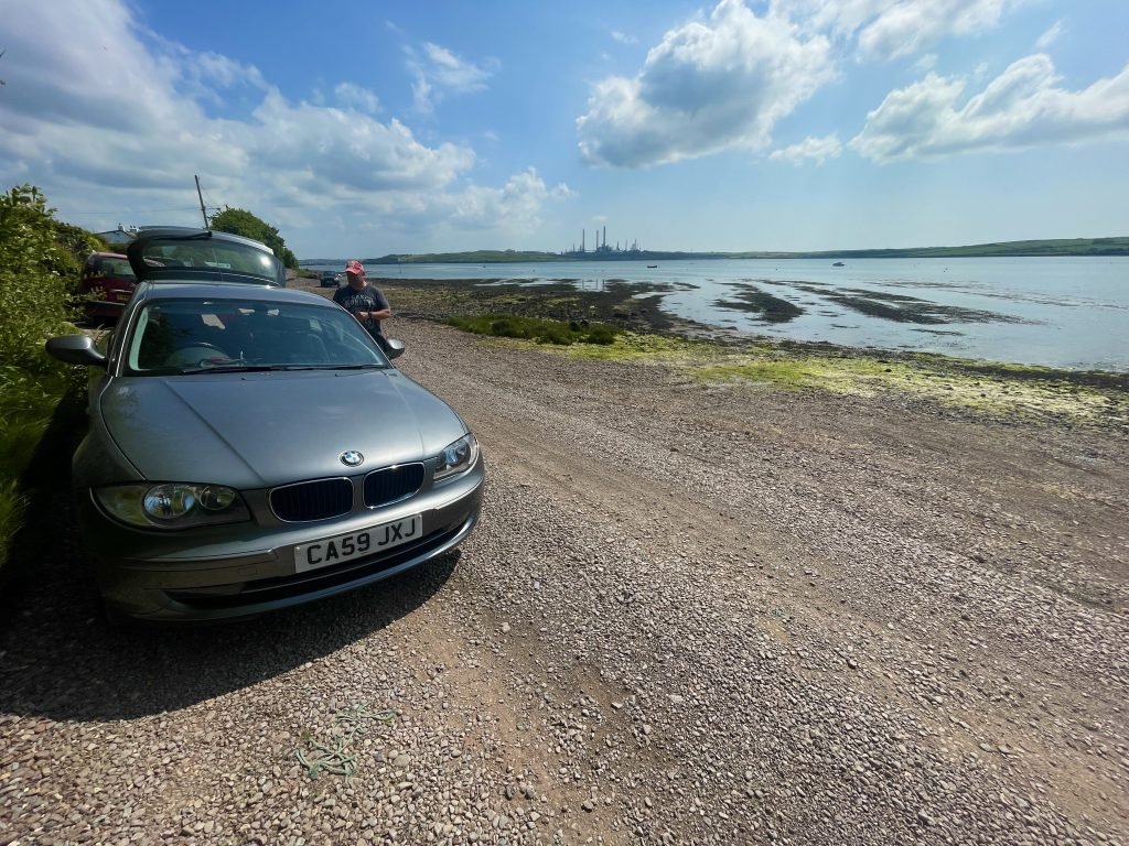
If you only had one vehicle then there is a bus service between Angle and Freshwater West. Below is the link to the website which has the timetable for the 387/388 bus which serves this route.
https://www.pembrokeshire.gov.uk/bus-routes-and-timetables/bus-routes-list-coastal-buses
6. PUBS RESTAURANTS
Old Point House, Angle
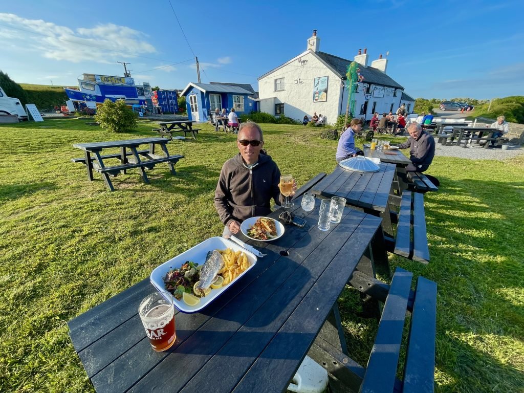
The Old Point House at Angle is a great pub in a lovely, old building. The menu is fish orientated with a lot of the dishes including seaweed in the menu.
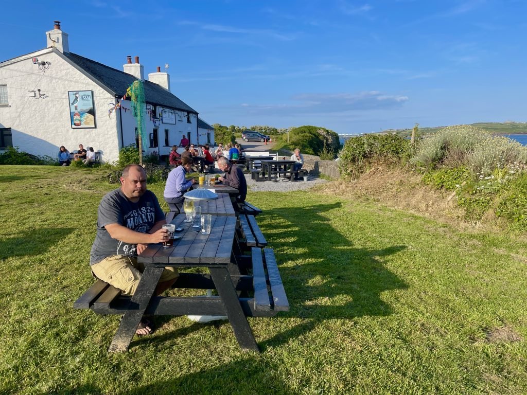
The beer garden has great views across Angle Bay and up Milford Haven towards Pembroke dock.
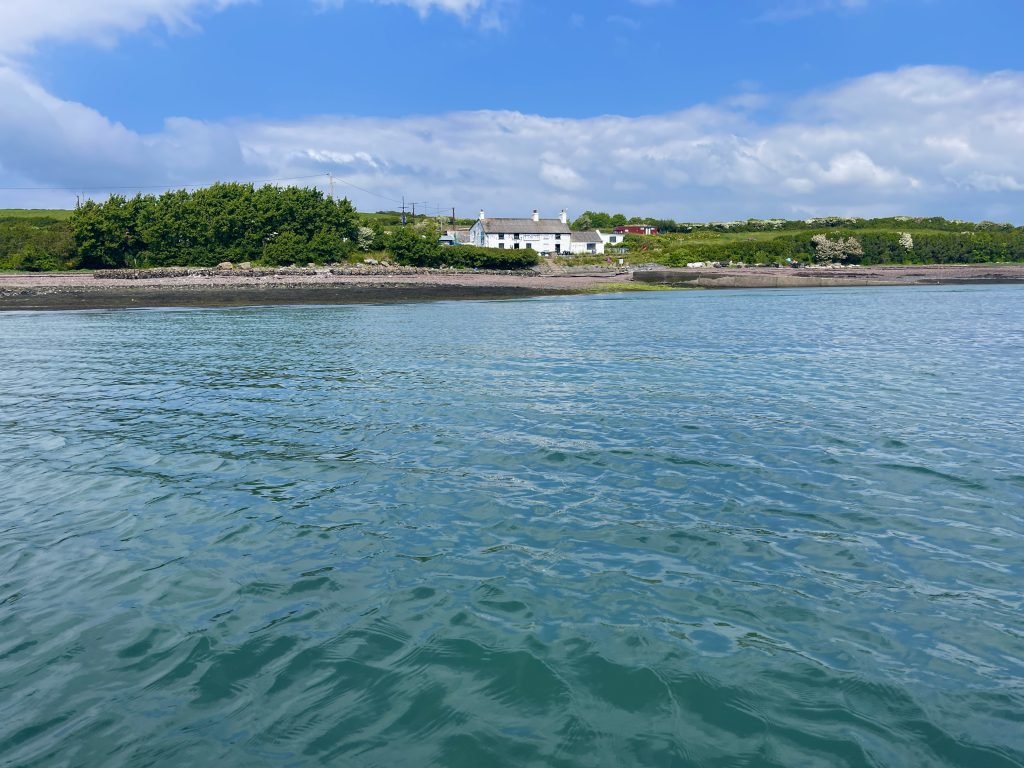
Hibernia Inn, Angle
The Hibernia is a gem of a public house set in the peaceful village of Angle.
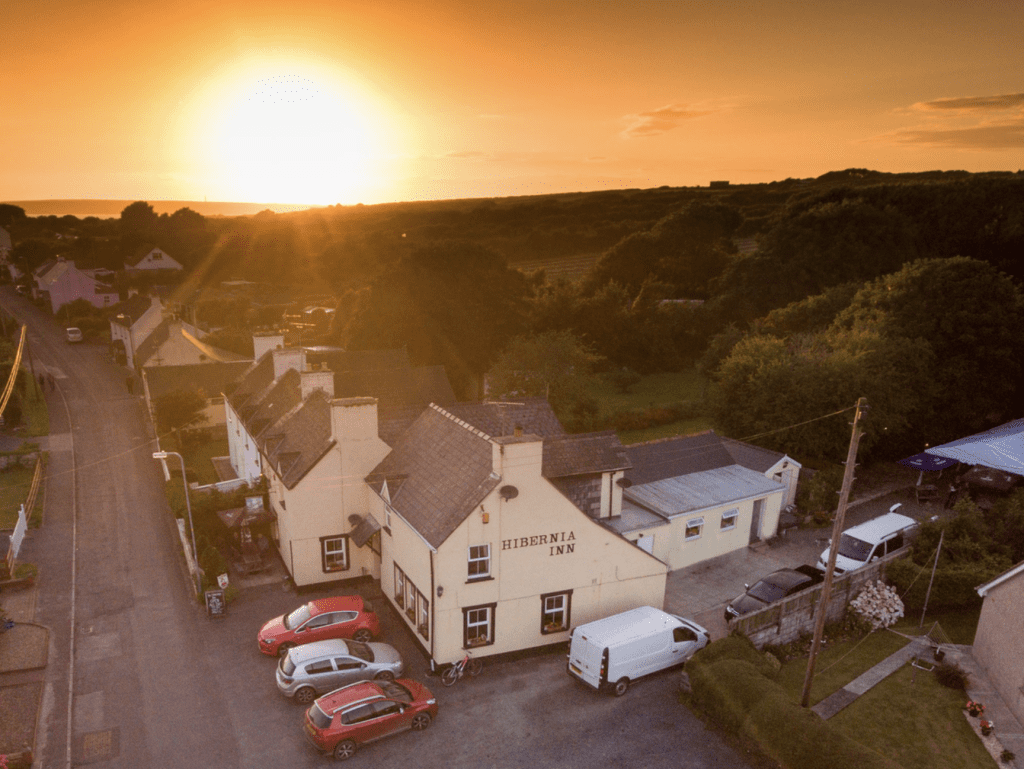
I recall calling there once after doing a walk on the Wales Coastal Path and it’s a great pub in the middle of the village.
Cafe Môr, Angle
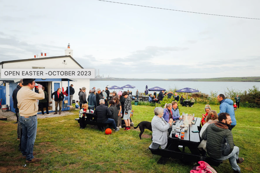
The Cafe Môr is next to the Old Point House at Angle as you see in the below photo.
The Cafe Môr sells a variety of rolls, snacks and deserts and has an outside Beach Bar and lovely garden and seating area overlooking East Angle Bay.
7. DANGERS / ISSUES
Sea conditions
This route started in the relative shelter of Angle Bay but once you round Angle Point, you are out in much more open water so we would give the usual advice of checking the sea conditions before you go.
We usually use www.surf-forecast.com.
We generally only go sea kayaking if the ‘Wave Height & Direction’ indicator is under about 0.8 meters and the wind is less than about 20 knots.
Angle Bay
Angel Bay is very tidal being the Southern end of the Milford Haven / Cleddau Estuary and when the tide is out a lot of it becomes mud flats as the water recedes.
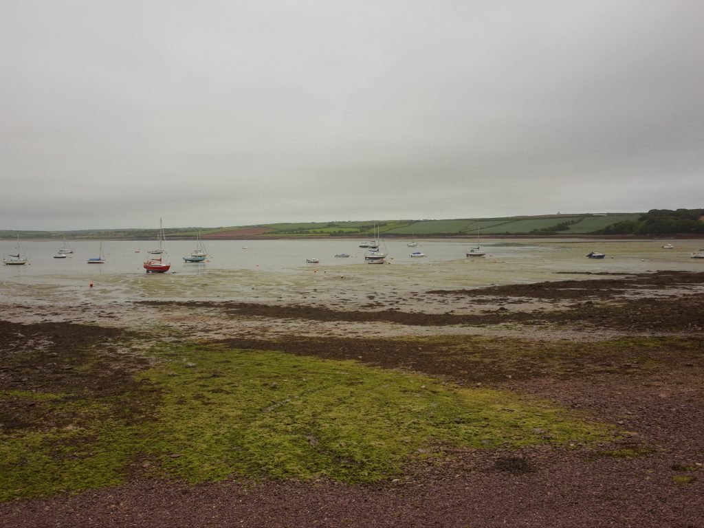
You probably need to launch/land at Angle Bay within 3 hours either side of high tide since when the tide is low there, you may have problems trying to get onto/off the water due to the mud.
Tides on Milford Haven
On the Milford Haven / Cleddau Estuary, the tide runs East to West when it’s going out and it runs West to East when it’s coming in.
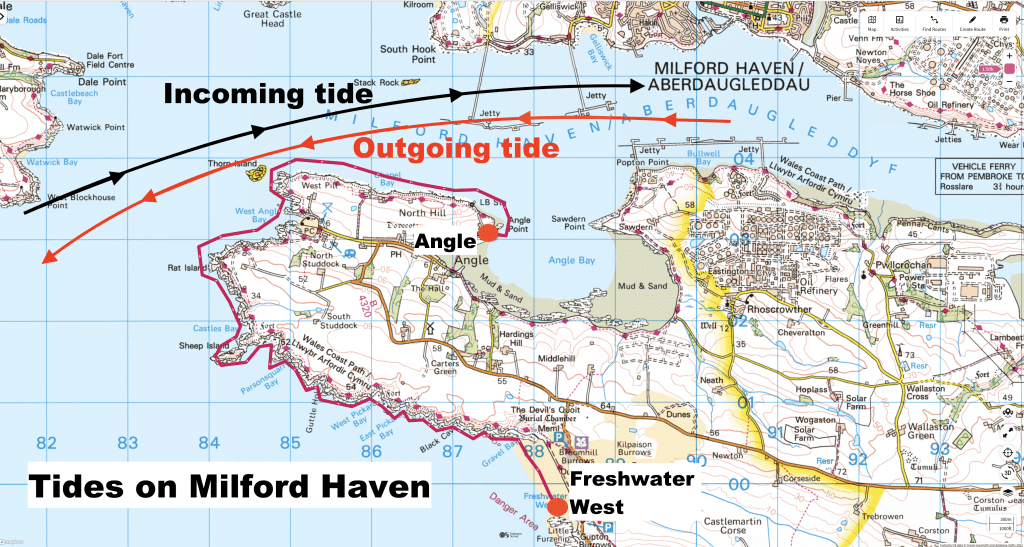
Therefore, if you are paddling this route from Angle to Freshwater West then we’d suggest doing it with the outgoing tide. Conversely, if paddling from Freshwater West to Angle we’d suggest paddling it with the incoming tide.
8. kayak used
On this trip we used a tandem full drop stitch inflatable kayak.
It is essentially the same as the ‘Sandbanks Style Optimal’ or the ‘Aquatec Ottowa’ kayaks which can be bought in the UK, apart from a few minor differences.
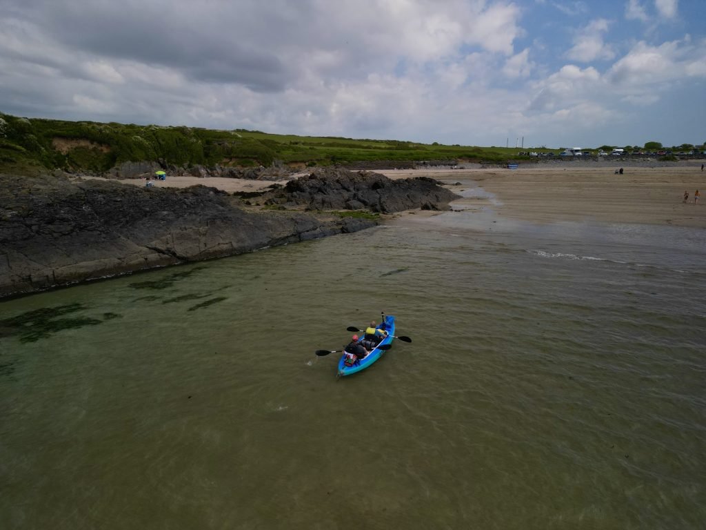
On our tandem, it can be inflated to 10-12 PSI which makes the entire hull and decks quite hard (similar to an inflatable SUP).
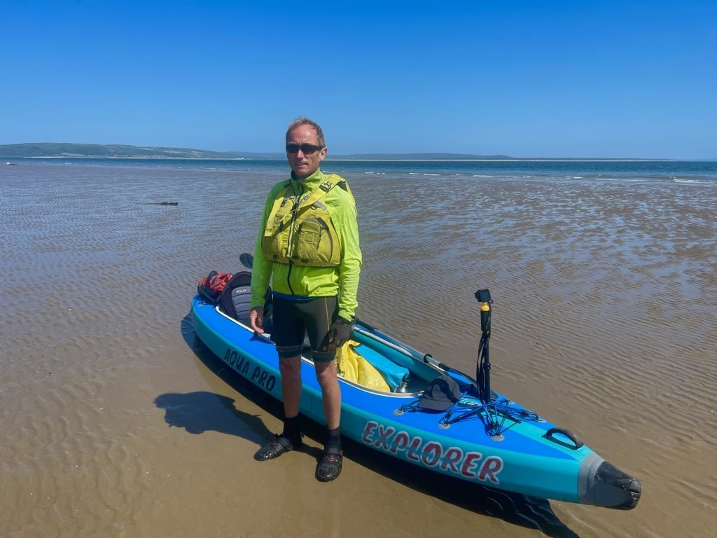
We will be shortly be doing a full review of this type of inflatable kayak in our Product Reviews Section of our website.
9. KAYAKING THE WALES COAST
This 8 miles paddle was part of our undertaking to kayaking all of the 870 miles or so around the entire Wales Coast.
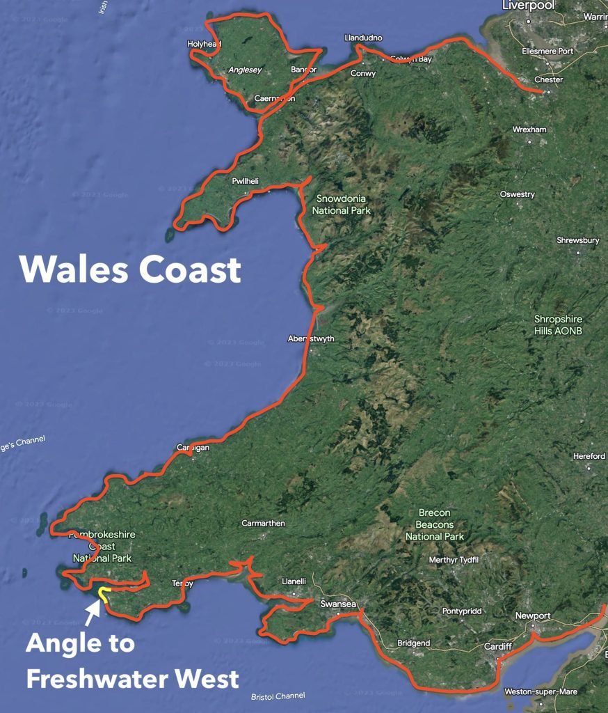
This is a huge undertaking and this adventure has taken us to parts of our coastline that we had never been to before. We have a page on our website with blog posts of all of our Wales Coast paddles.
We also have a playlist on our Youtube channel with videos of all of our Wales Coast paddles.
10. SUMMARY
This great paddle took us from Angle Bay on Milford Haven, out onto the more open sea and then down to the stunning beach at Freshwater West.
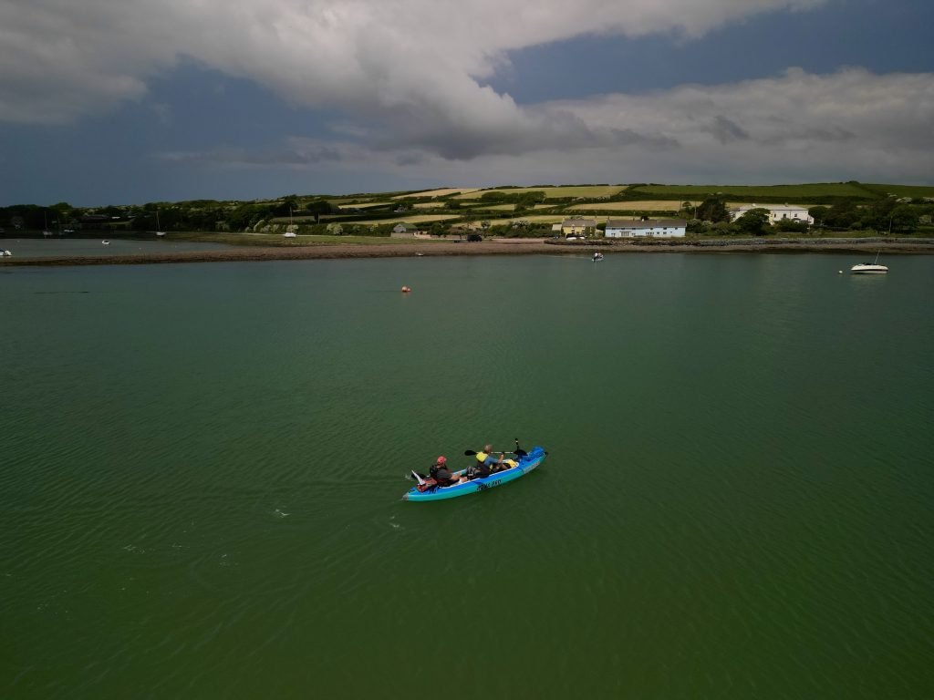
We paddled though a variety of scenery, ranging from the sheltered waters of Angle Bay to the oil terminal lined Milford Haven, passed some stunning rocky cliffs and finally to the golden sands of Freshwater West beach.
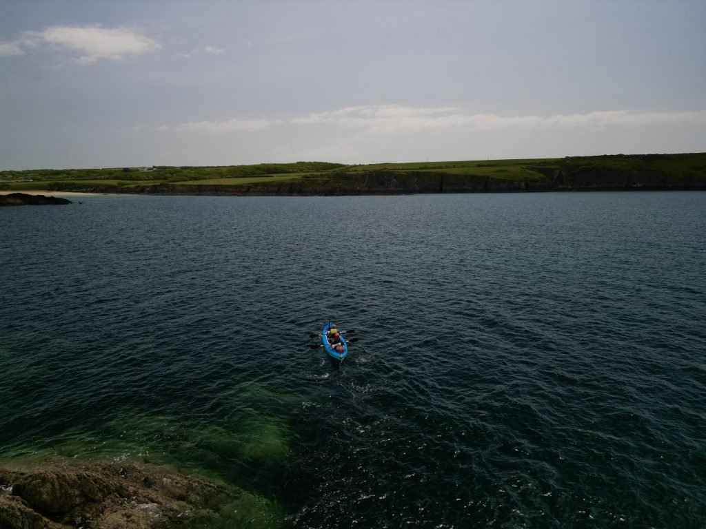
The post paddle dinner and a beer at the historic Old Point House was the icing on the cake.
awesome