
CONTENTS
- Date, Distance & Duration
- Map of the Route
- River Levels & Weather
- The Monmouth to Brockweir kayak
- Logistics
- Pubs & Restaurants
- Dangers & Issues
- Kayaks Used
- Kayaking the Wye River
- Summary
1. DATE, DISTANCE & DURATION
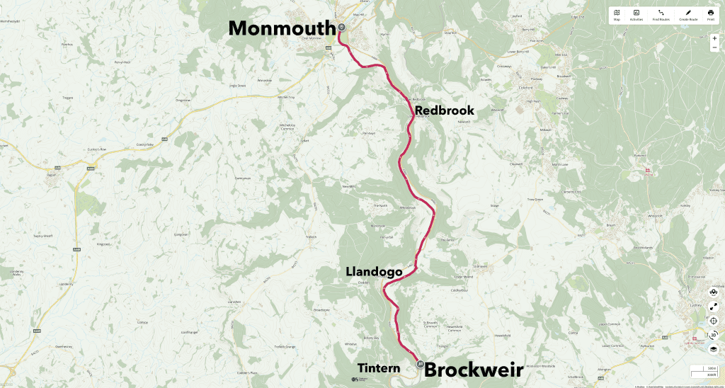
9.5 miles route.
16 July 2023. Launched from Monmouth at 12:30pm. Landed at Brockweir at 18:00.
4.5 hours paddling and 1 hour lunch break.
2. MAP OF THE ROUTE
3. RIVER LEVELS & WEATHER
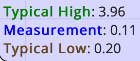
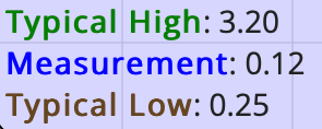
The river was very low on the day of our kayak, which is not unusual for the Wye in the Summer. As you see from the Redbrook and Monmouth gauging stations, it was only 0.11 meters.
The last 3.5 miles of this route downstream from Bigsweir was on the tidal section of the Wye, and it was high tide at about 10:30 and low tide at 17:30 on the date of our kayak, with a high tide of about 12.97 meters (at Chepstow).
It was a hot day with highs of about 26 Celsius and light winds from the South of about 6mph.
4. THE MONMOUTH TO BROCKWEIR KAYAK
We launched from Monmouth Rowing Club at about 12:30pm.
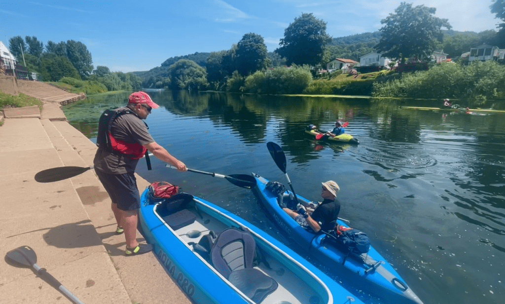
We paddled underneath the Wye Bridge. The original wooden bridge was built in the Middle Ages. It was completely rebuilt in stone in the early seventeenth century.
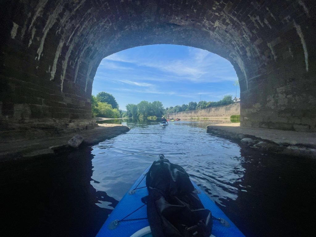
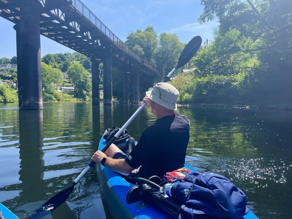
Just downstream from Monmouth, we passed under the Duke of Beaufort Bridge which carried a now disused railway line.
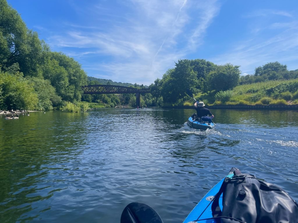
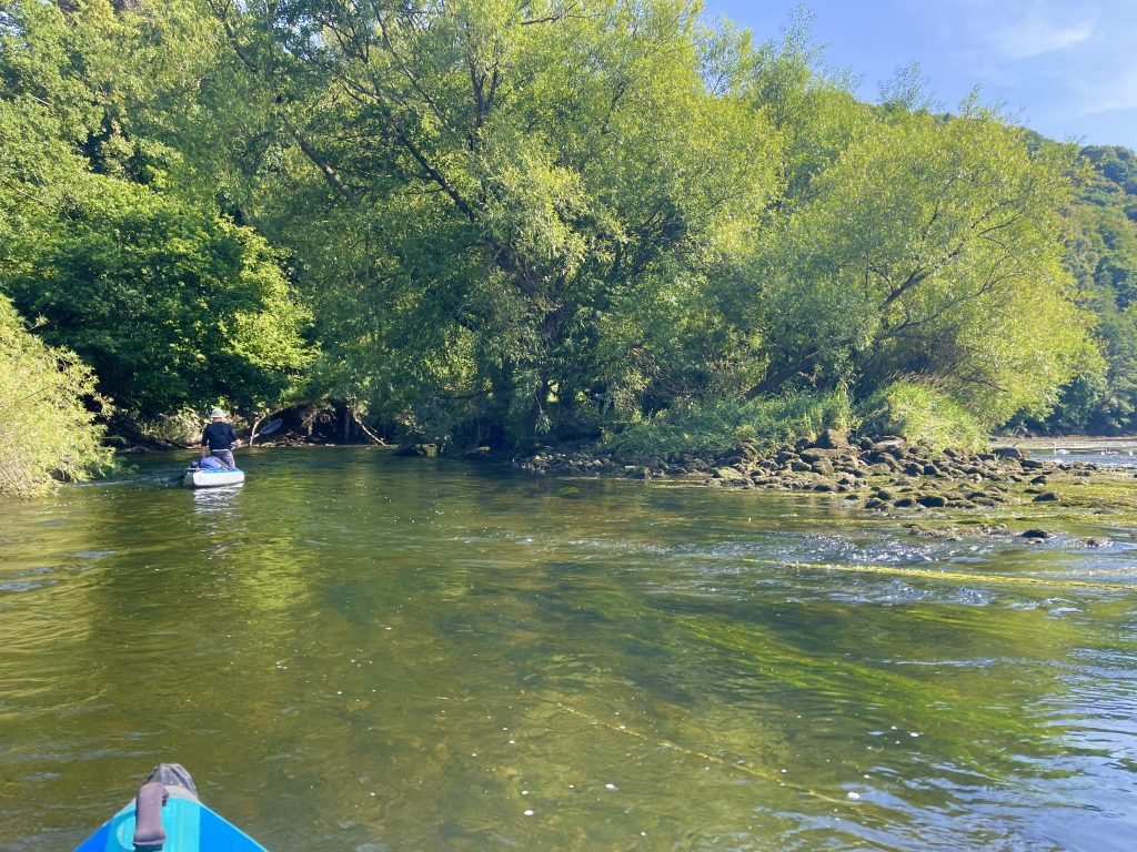
About half a mile downstream from Monmouth, we encountered a section of shallow, fast flowing river – not the last such section we’d paddle though that day!
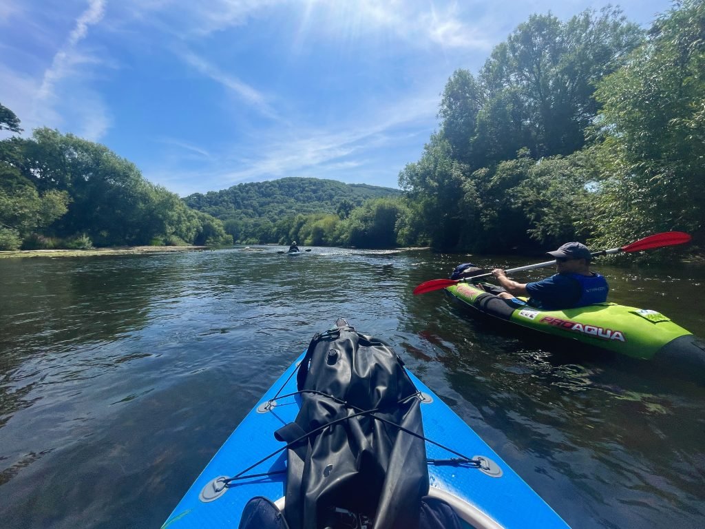

As is often the case with the Wye in the Summer, the river alternatived between racey, shallow sections and slower, deeper sections.
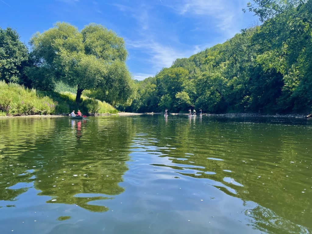


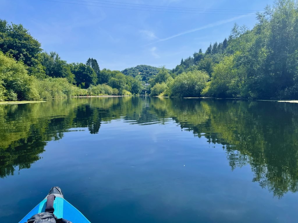
Just after 14:00 we neared the Boat Inn at Penallt on the West Bank which is about 2.5 miles downstream from Monmouth.
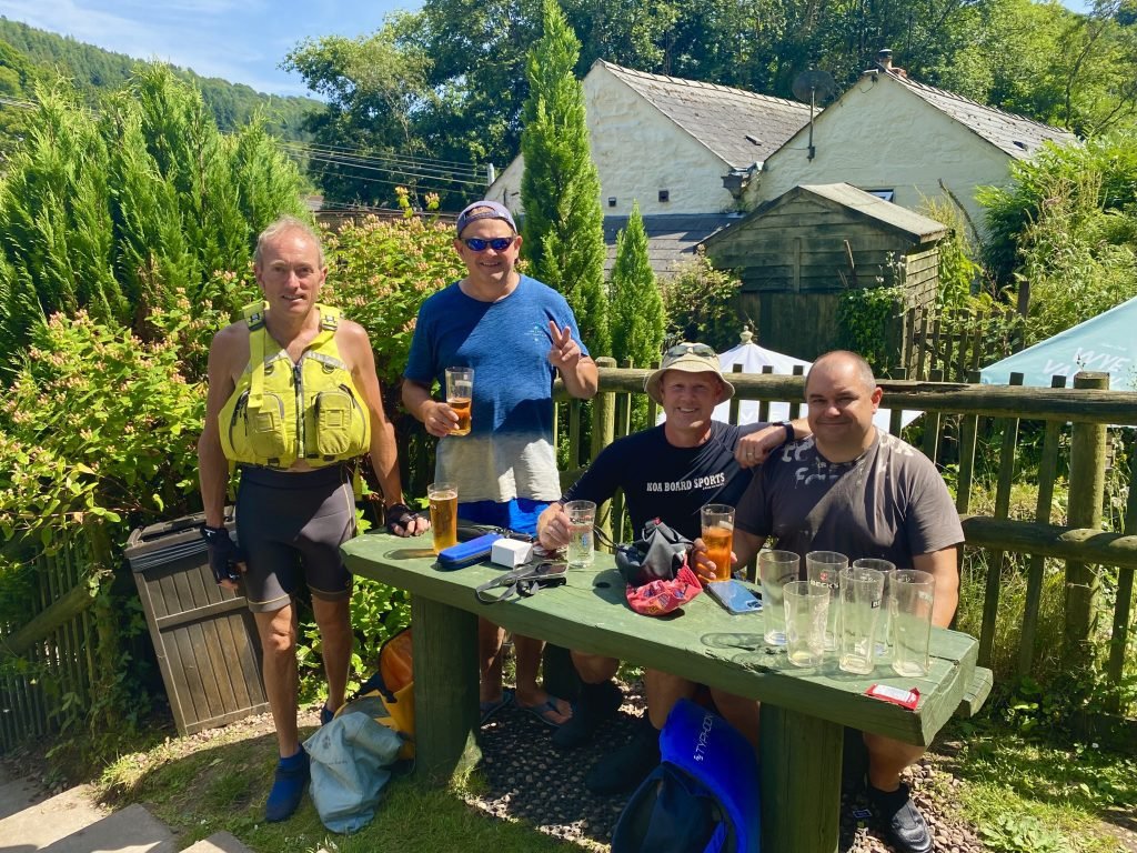
Pulling our kayaks up on the bank, the highlight of the trip was of course the pub stop at the Boat Inn for a cider and some lunch.
Feeling energised after our lunch stop (nothing to do with the ciders, I’m sure …) we set off again downstream, passing the charming village of Redbrook.
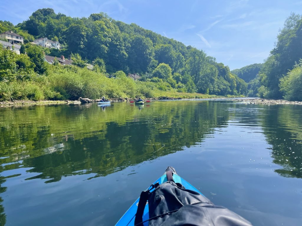
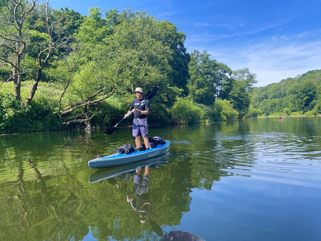
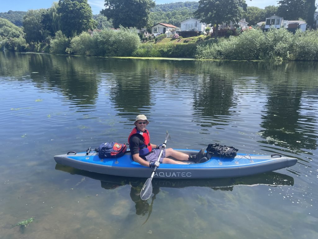
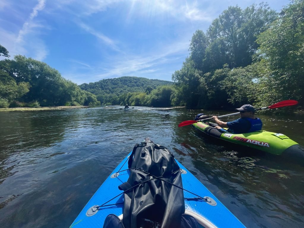
Fran showed off his paddle boarding skills by standing up in his Aquatec Ottowa kayak, a low profile full drop stitch inflatable kayak which in some ways resembles a very chunky paddle board.
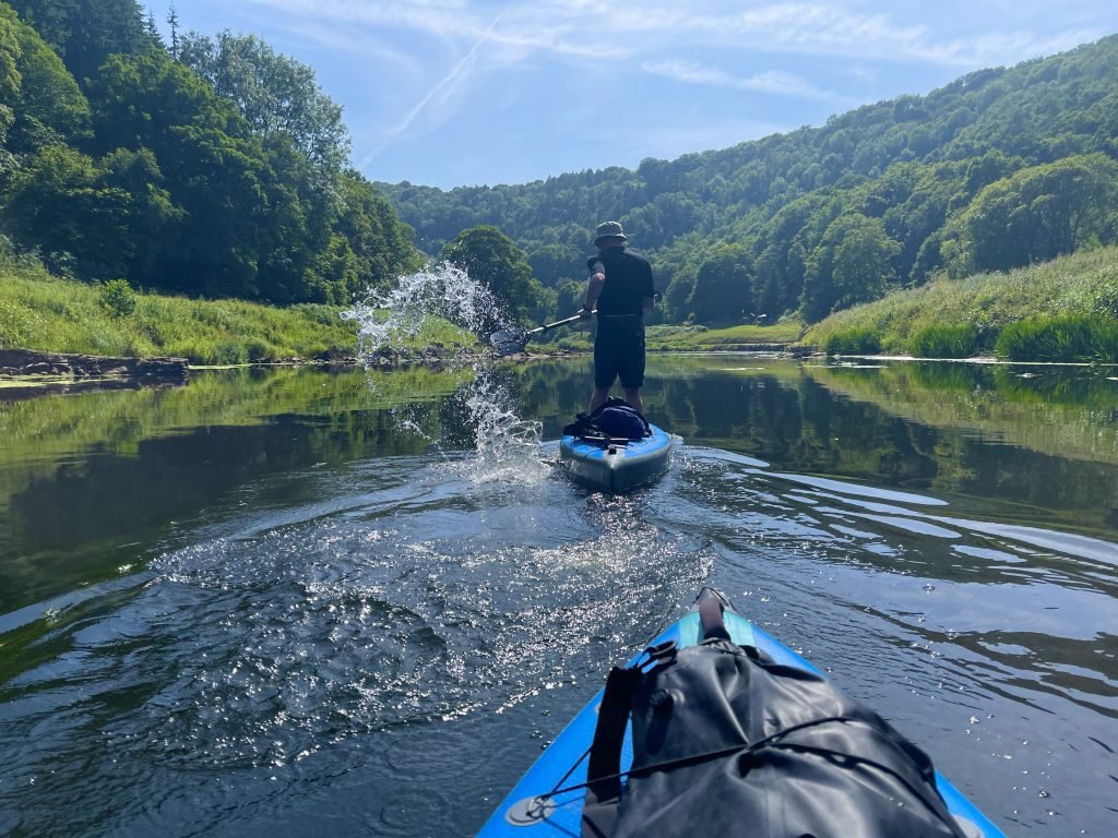
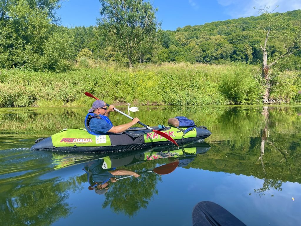
Kiva was using his trusty old Pro Aqua inflatable kayak (mainly because he’s too tight to buy a new one).
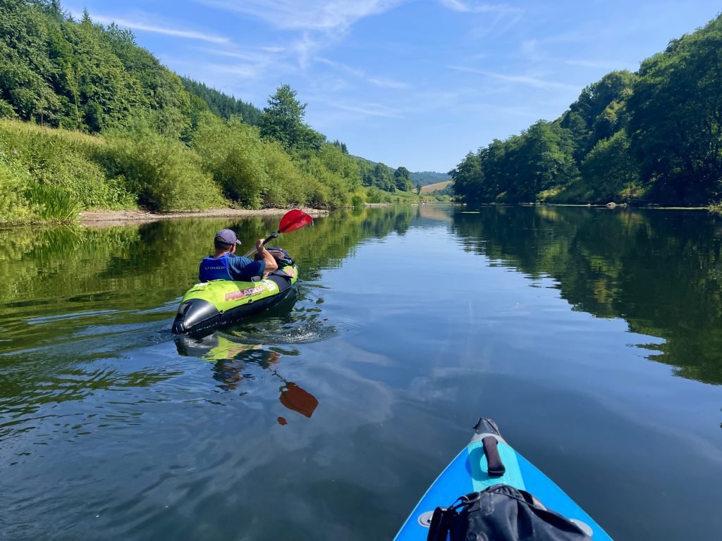
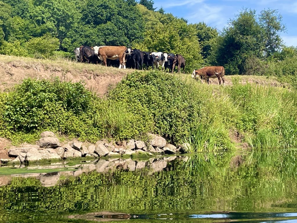
It was so hot that we decided to stop about half way along the route so that some of the guys could cool off in the river.

After the guys had enjoyed their paddle in the river, we set off again downstream with about 4 miles to go to Brockweir.
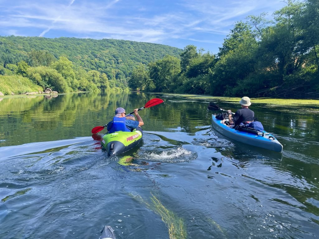
We dodged rocks and boulders on the shallow sections as we progressed downstream, by 16:45 approaching Bigsweir which is about 6 miles along this 9.5 miles route.


When we had paddled this section previously, we had always landed at Bigsweir Bridge about 6 miles downstream from Monmouth.

On this occasion, we were continuing downstream another 3.5 miles or so to Brockweir.
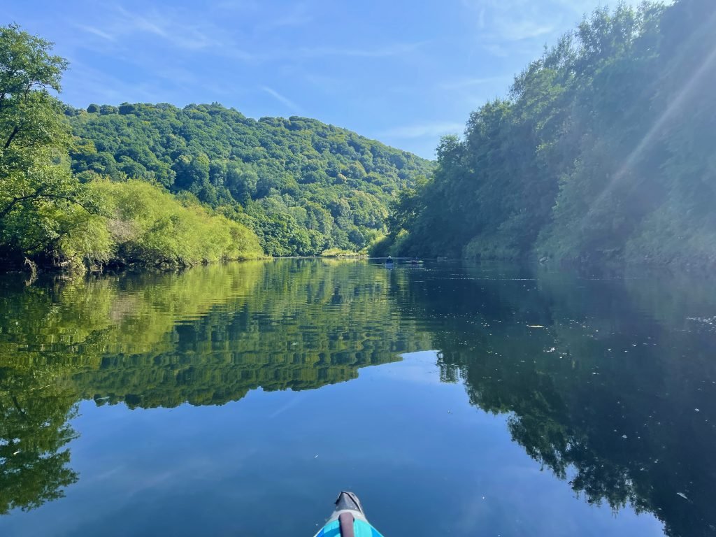
The Wye becomes tidal downstream from Bigsweir. It gradually started to widen out and become deeper but we still had a couple of shallow, rapid section to negotiate before we were out of the woods.
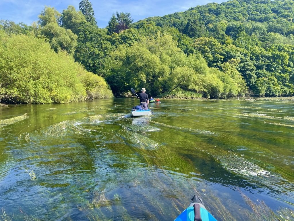
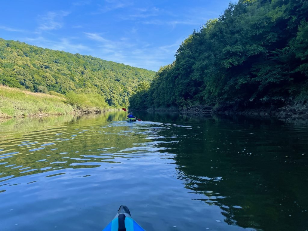
Fran accidentally dropped his Rayban sunglasses overboard and dived into the water to try and find them (unsuccessfully).
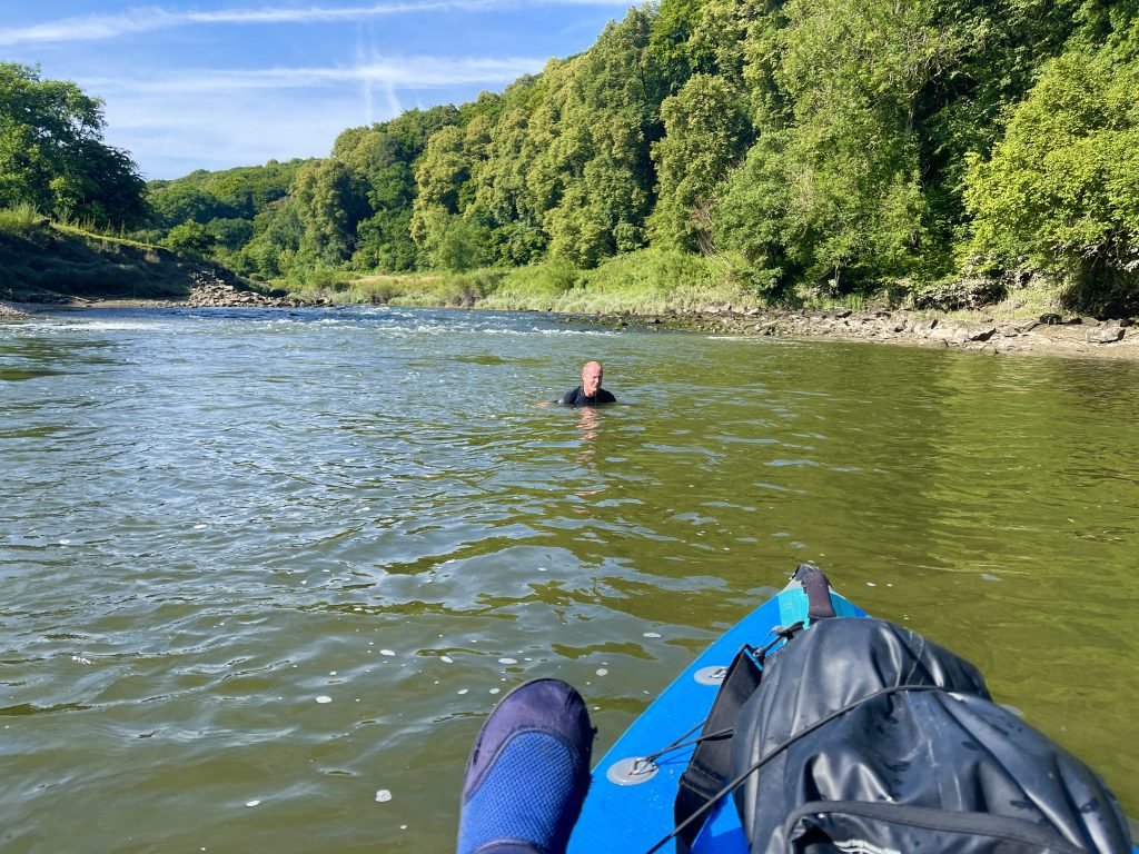
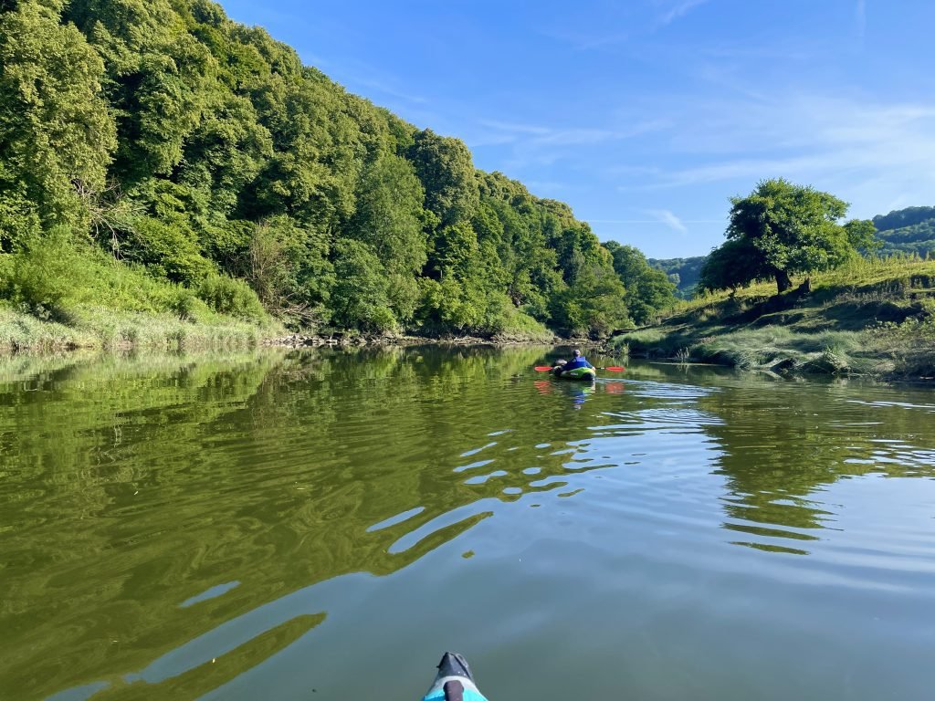
We were now only 2 miles or so from Brockweir and the river was definitely transitioning to a more tidal or estuarine character, with muddy, rush covered banks.

This was our first paddle which included the tidal section of the Wye. While about 105 miles of the Wye can be paddled from Glasbury all the way down to Chepstow, only the Southernmost 17-18 miles or so from Bigsweir down to Chepstow and on to it’s confluence with the Severn Estuary is tidal.

The nature of the river changed, gone were the shallow, rapid sections, the river was now consistently deeper and wider with estuarine mud along the banks.


At just after 18:00 we landed at Brockweir on the East bank just above the bridge.
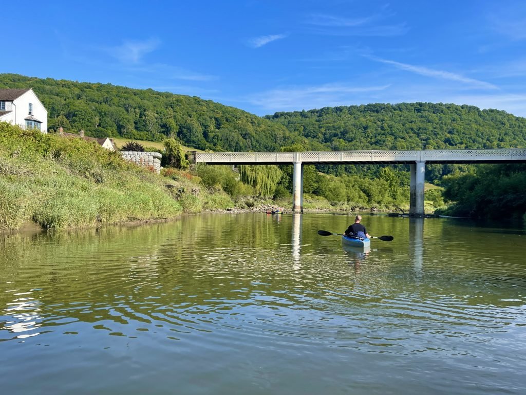
Another great kayak on the Wye river, surely one of the best kayaking rivers in Europe if not the world.
5. LOGISTICS
We left a vehicle at either end of the route on this kayak.
Monmouth Rowing Club
At Monmouth, there is a quite large free car park at Monmouth Rowing Club at the end of the route and we left one car there.
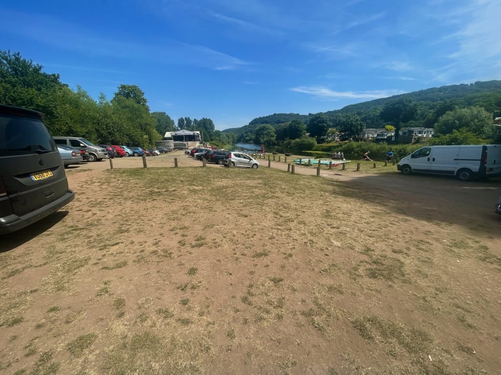
No Permission is required to land or launch from the steps below Monmouth Rowing club
Brockweir
At Brockweir, we parked in a layby which can fit about 6-7 vehicles about 150 meters up the road from the landing spot just above Brockweir bridge.
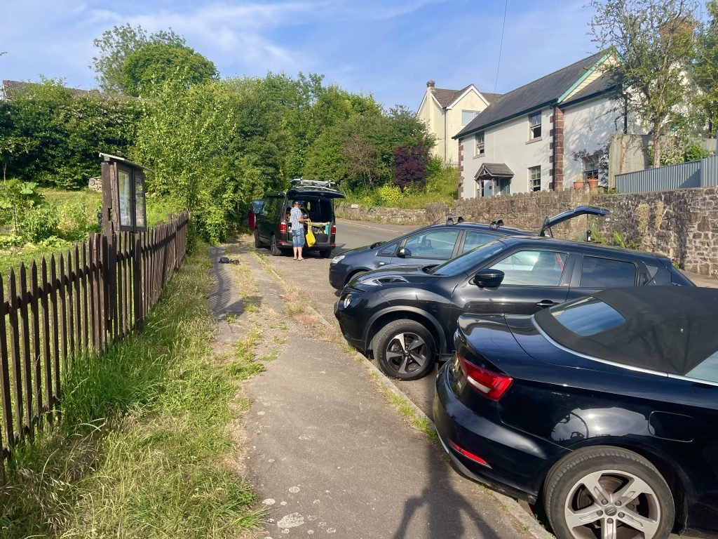
If you have heavy kayaks and/or a lot of gear, then you could drop them off right by the launching area just above the bridge on the East bank and then go and park up in the lay-by up the road.
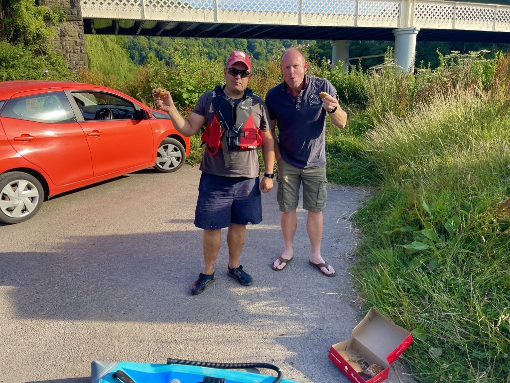
We would not advise parking right by the launch area though since there is not much space and it presumably is used by residents who would get annoyed if kayakers kept taking up their parking area.
Public Transport
If you only had one vehicle, then there is a bus 69 operated by Phil Anslow Coaches that runs between Monmouth and Brockweir which could also be used to get back to the start. The timetable is on the below link.
Note that there are 2 bus stops on the A466 just downstream from and upstream from Brockweir Bridge on the West bank.
6. PUBS & RESTAURANTS
The Boat Inn, Penallt
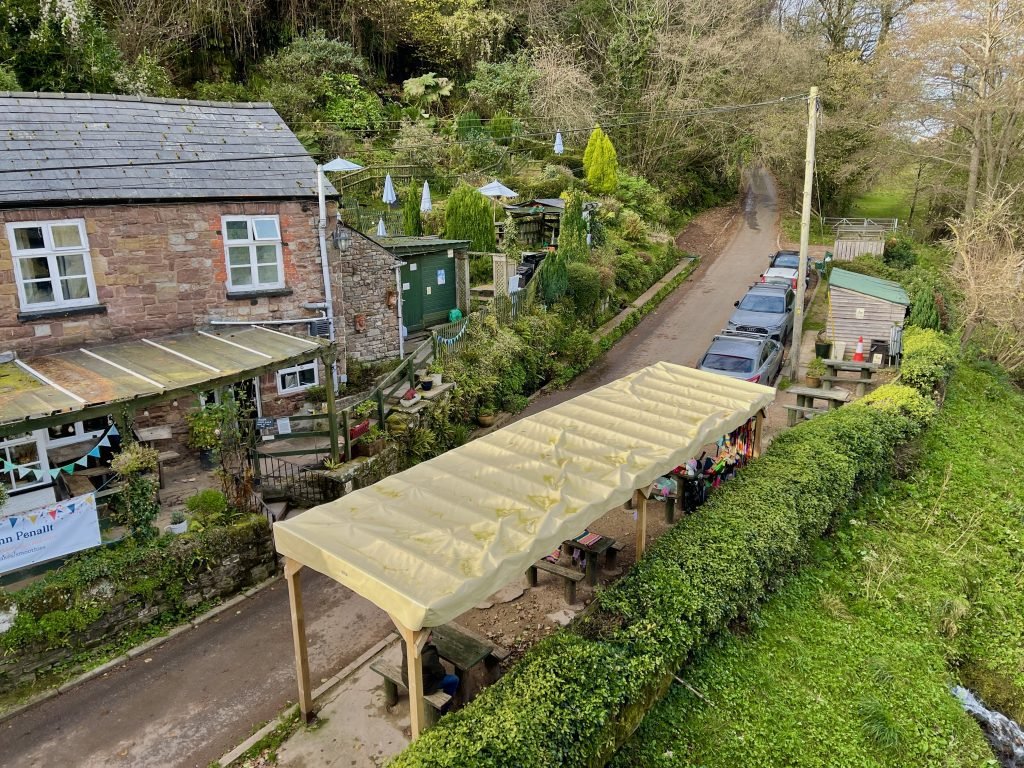
The Boat Inn at Penallt across the river from Redbrook is one of the nicests pubs on the Wye river and is great in particular for kayakers because it is right on the river.
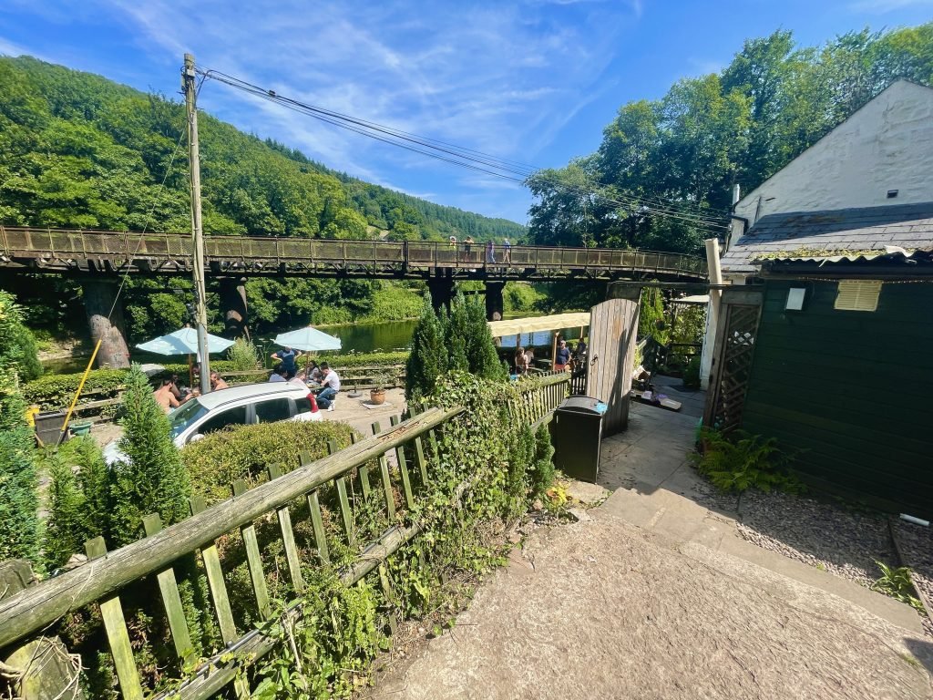
You can have a beer and some food while overlooking your kayaks parked up on the bank below.
The Punch House, Monmouth
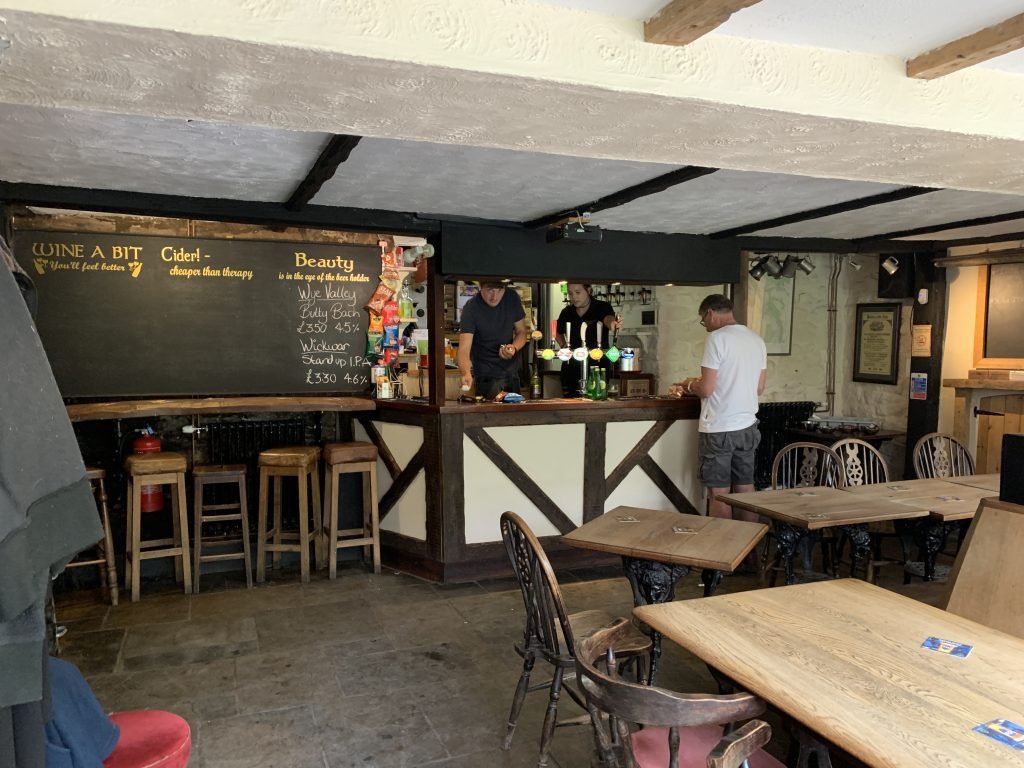
The punch House at Monmouth is one of the few Monmouth pubs that Captain Kiva is not banned from.
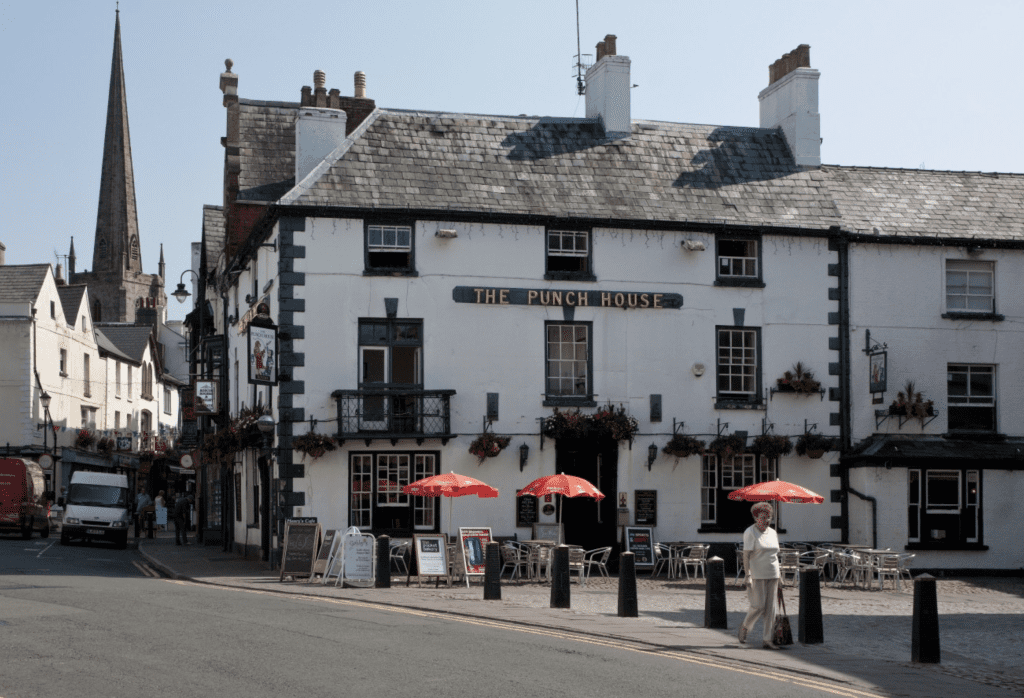
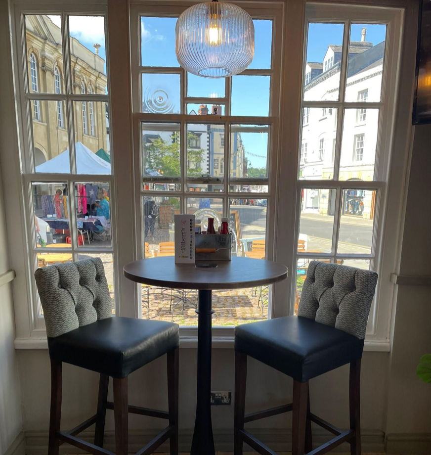
It is set in a lovely old building and the small beer garden out the front has great views across Agincourt Square and down the main street through Monmouth.
7. DANGERS & ISSUES
While this was a relatively safe kayak with no main major saftey issues to be aware of, we’d flag up the following.
Water Levels
We would suggest that you always check the water level of any non-tidal river before you plan a kayak on it.
We use the website riverlevels.uk which has live readings for gauging stations along most rivers.
The water levels are generally safe when they are comfortably within the ‘normal’ range which comprises the green part of the gauge graphic.
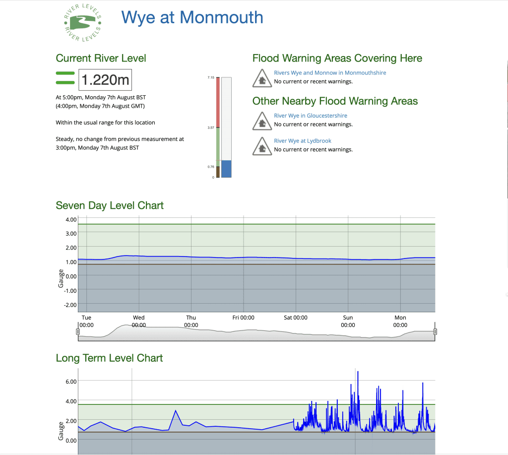
If the water level is near or in the red zone, it will likely be very dangerous to paddle the river because it of excessive water flow.
If the water level is very low, almost in the yellow segment below the usual range, then you will find yourselves hitting lots of rocks under the water and bottoming out a lot.
Tide times
The last 3.5 miles of this route from Bigsweir down to Brockweir is on the tidal part of the Wye River. While this section is not as tidal as the lower sections going down to Tintern and Chepstow, the significance of this is that unless you are landing at Brockweir within 2-3 hours or so of high tide, then you will have to to get up a large, muddy bank when you land.
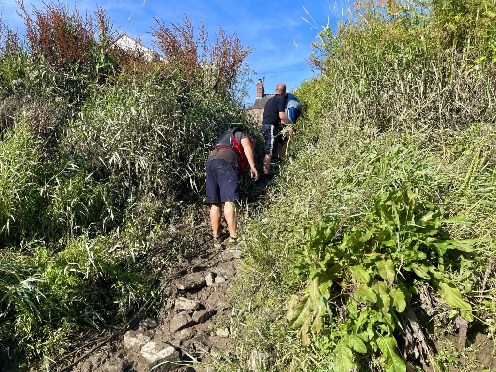
Conversely, if the tide is in when you land at Brockweir, the water will be up towards the top of the bank making it a much easier landing.

8. KAYAKS USED
We used 3 different kayaks on this trip.
Aquatec Ottowa kayak
This is a full drop stitch kayak that is sold by Networked Sports. We have done a review of this kayak on our website and also have a Youtube video review.
Tandem drop stitch kayak
This tandem drop stitch kayak is very similar to the Airvolution 2, the Sandbanks Optimal and the tandem version of the above mentioned Aquatec Ottowa kayaks.
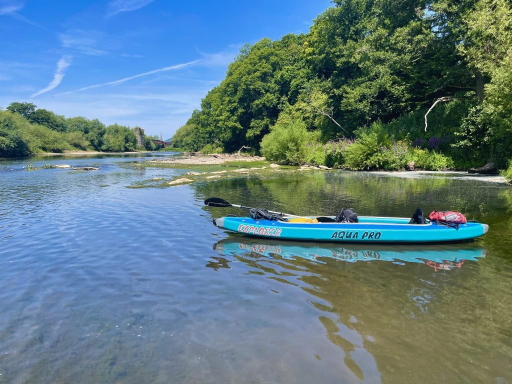
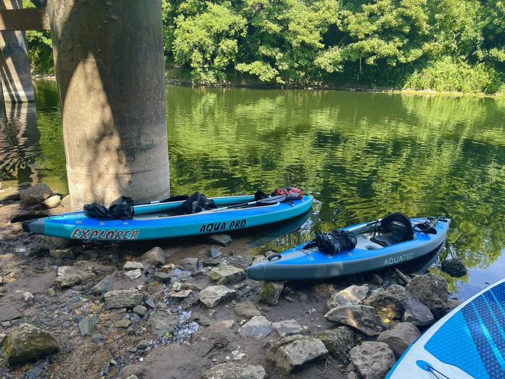
Pro Aqua inflatable kayak
The Pro Aqua kayaks are compact, solo inflatable kayaks which used to be sold by Clas Ohlson but have been discontinued for a few years.
9. kayaking the wye river
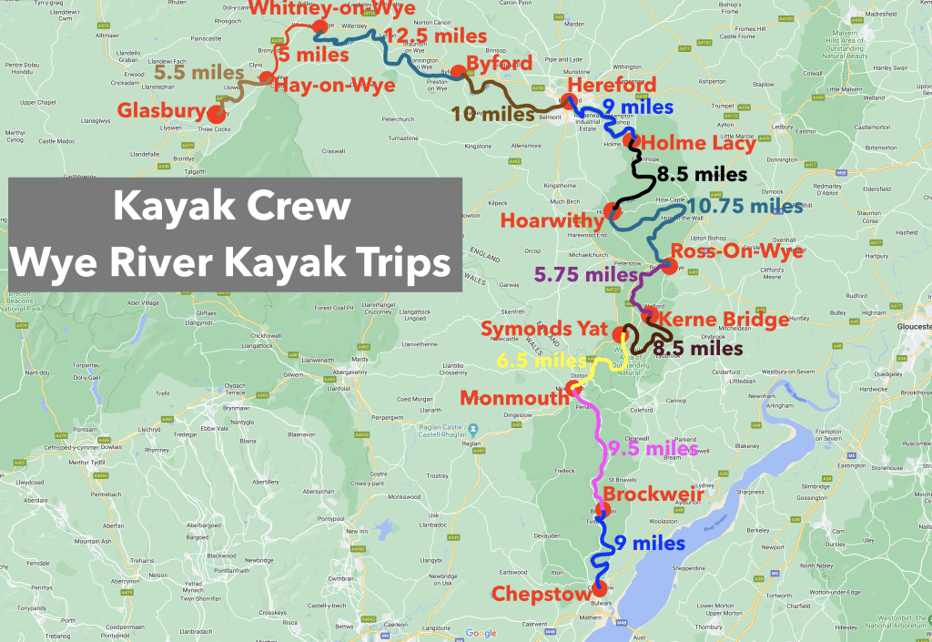
This journey was part of the Kayak Crew’s undertaking to paddle every section of the Wye River between Glasbury all the way down to Chepstow.
This map shows how we broke the Wye River up into sections for our paddles.
We are uploading our blogs of our exploration of the Wye River by kayak to our Wye River page of our website.
We are also uploading videos of all of our trips to the Wye Valley playlist of our Youtube channel.
10. SUMMARY
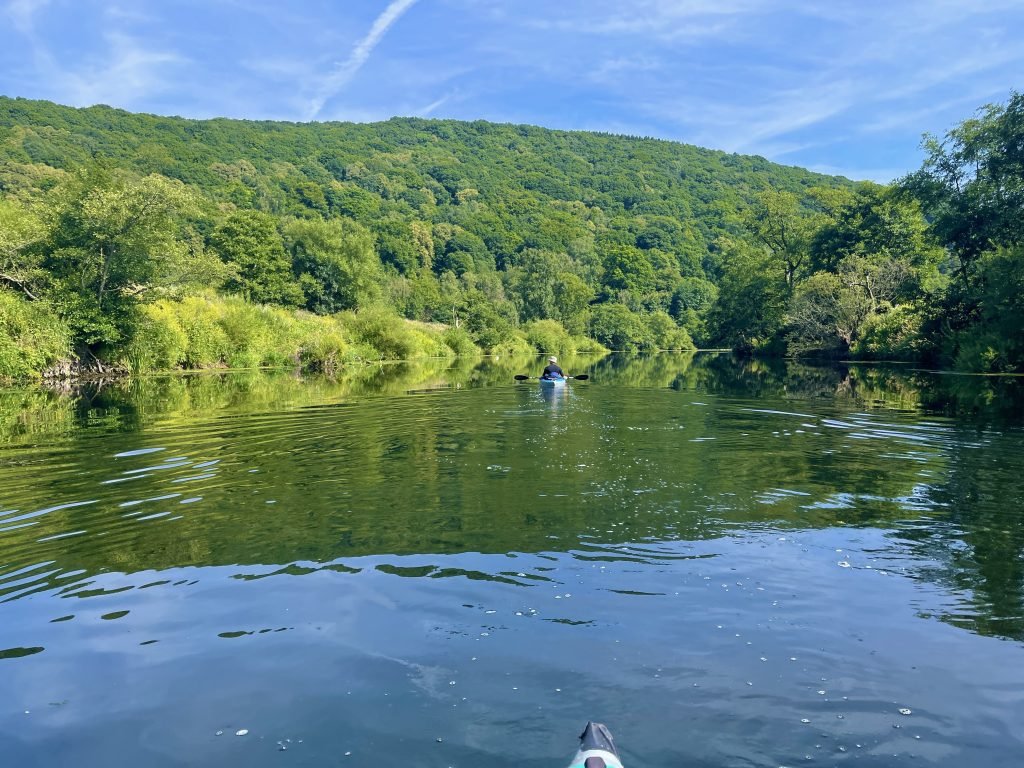
This 9.5 miles route took us from the historic town of Monmouth, through some stunning wooded gorges, down onto the tidal section of the Wye and down to Brockweir.
The Boat Inn at Penallt a third of the way along the route is a nice place to stop for lunch and/or a drink.
A shorter version of this route is to land at Bigsweir Bridge, which is about 6 miles downstream from Monmouth.
While not essential, timing you landing at Brockweir at or near high tide will enable you to have a less muddy landing.

If you have any comments or queries then please get in touch.
Many thanks for the in-depth guide to Monmouth to Brockweir really helpful . Colin
Thanks Colin, apologies for the late reply, just catching up with the website. It’s a nice route, best to land at Brockweir near to high tide if posisble