
CONTENTS
- Update about the Pontoon at the Chepstow Boat Club
- Date, Distance & Map of Route
- Wind / Weather / Tide
- The Brockweir to Chepstow kayak
- Logistics
- Dangers / Issues
- Kayak used
- The Wye River
- Summary
1. UPDATE ABOUT THE PONTOON AT CHEPSTOW BOAT CLUB
This route is entirely dependant on the pontoon at Chepstow boat club being open. Since we did this trip in 2022, the pontoon has unfortunately been closed for repairs.
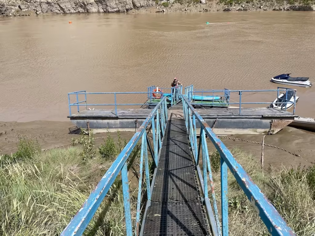
It is hoped that the pontoon will be re-instated in the near future and when it is then I will update this blog post to reflect that.
Chepstow Boat Club have a funding page for donations towards the costs of repairing and reinstating the pontoon.
2. Date, Distance & Map of Route
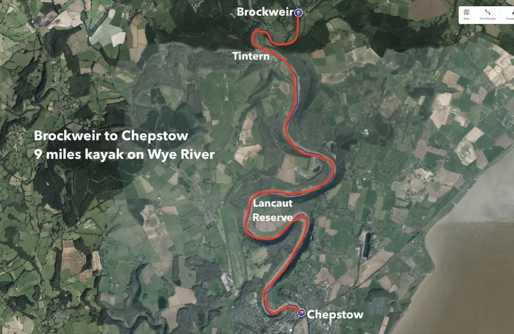
17 July 2022
Launched at 11.30 from Brockweir. Landed at Chepstow at 13.30. About 2 hours paddling (no stops).
9 miles route.
3. WIND / WEATHER / TIDE
It was a hot, sunny day with a high of about 29 Celsius. The wind was about 11 knots from the South East.
It was high tide at Chepstow at about 11am.
The tides for the day at Chepstow are below:
HIGH / LO TIME HEIGHT
Low 5.50 1.71m
High 11.00 12.69m
Low 18.10 1.9m
4. The Brockweir to Chepstow kayak
The tide seemed to be clearly still coming in quite strongly when we got to Brockweir since we could see debris moving upstream at a couple of knots.
As we inflated our kayak on the bank just above Brockweir Bridge, I noticed that the water had suddenly stopped moving upstream and that the tide was already going out! The tide had turned on a six-pence, it seemed.
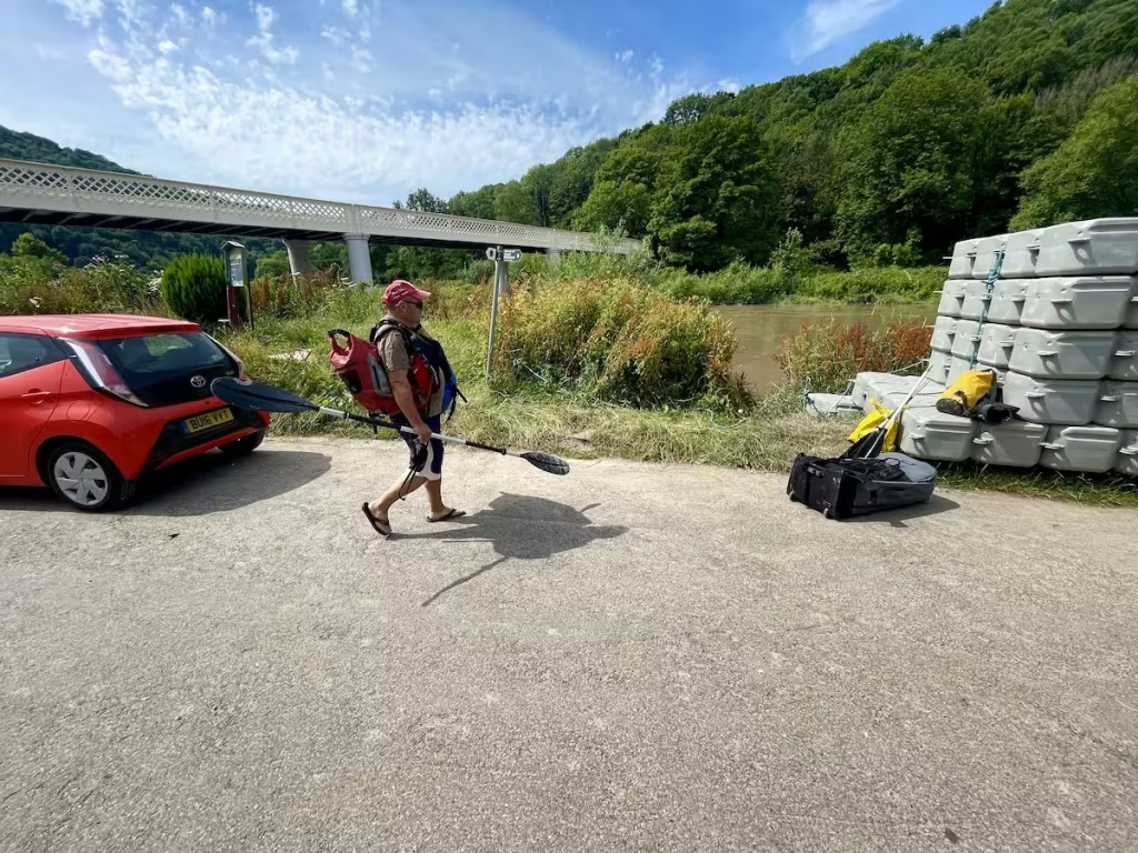
We launched from just above Brockweir Bridge onto the Wye at about 11.30am.
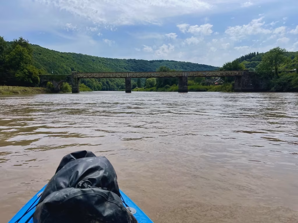
Passing under Brockweir Bridge, we could already feel the assistance that the outgoing tide was giving us, as it added a couple of knots to our downstream progress.
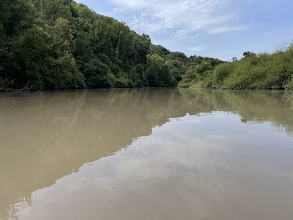
After only about about 1.5 miles or so, we approached Tintern, a charming old village that runs alongside the Wye.
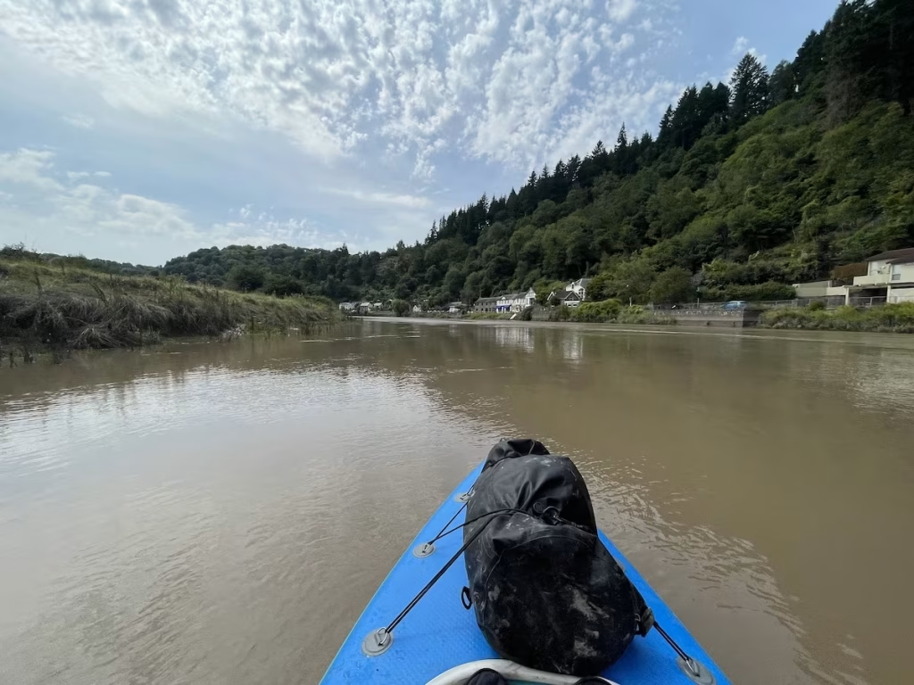
Tintern is of course famous for the large 12th Century Cistercian Abbey which is on the South side of the village. The present-day remains of Tintern are a mixture of building works covering a 400-year period between 1131 and 1536.
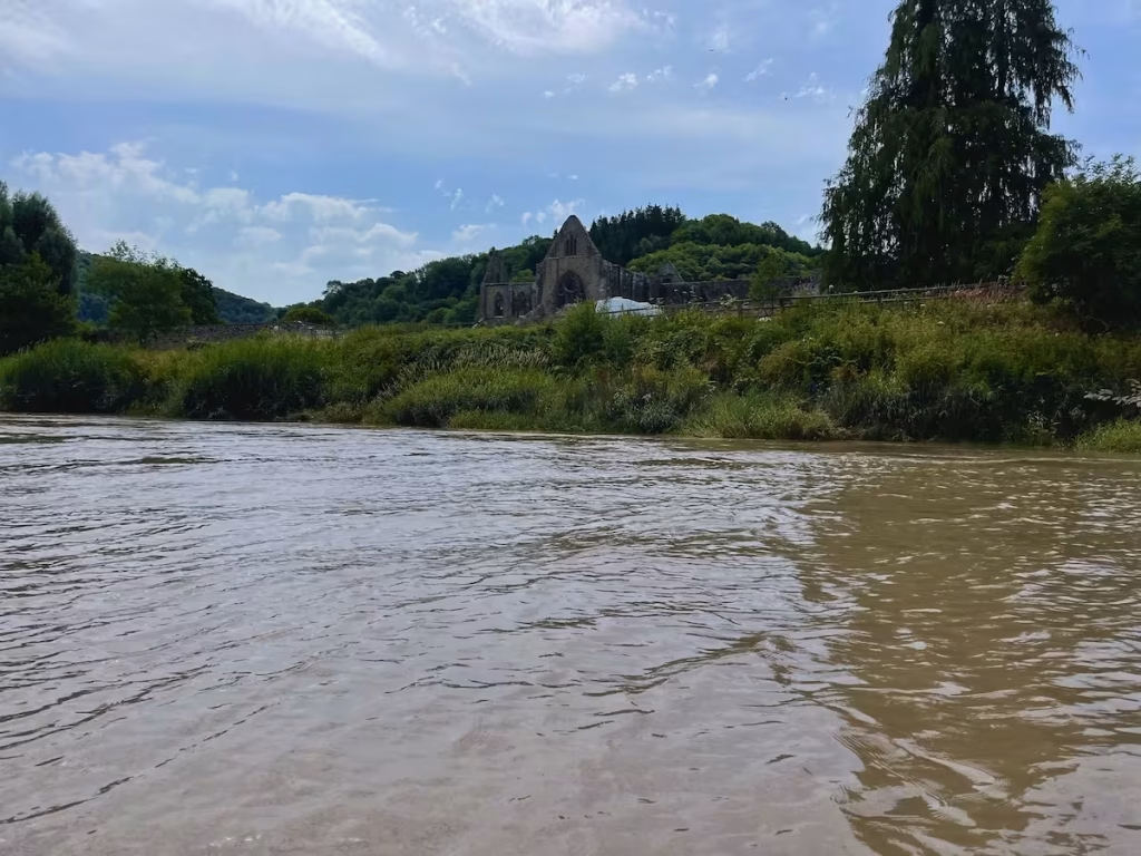
We didn’t have time to stop at Tintern, not that we saw any obvious landing points. We had though been taking to some kayakers the day before at Brockweir who said that they had paddled up from Tintern so I guess there must be at some launch/landing points at Tintern when the tide is high enough.

Tintern seems to glide past all too quickly and after a fairly fleeting glimpse, Tintern Abbey was gone and we carried on downstream on a wide, moving carpet of beige coloured water.
We passed the Deli’s Pulpit on the East bank downstream from Tintern, a viewpoint and limestone rock jutting out from the cliffs high above the River Wye along the Offa’s Dyke Path. Legend has it the devil preached to the monks below, tempting them to desert their order.
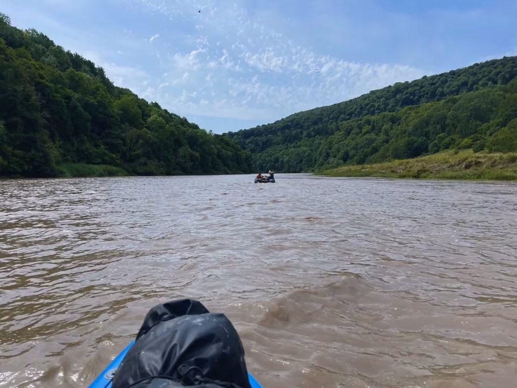
It was difficult to gauge how fast we were going but we seemed to be flying, partly due to the fact that we were paddling almost constantly to ensure we got to Chepstow in time to access the pontoon and partly due to the increasingly fast outgoing tide.
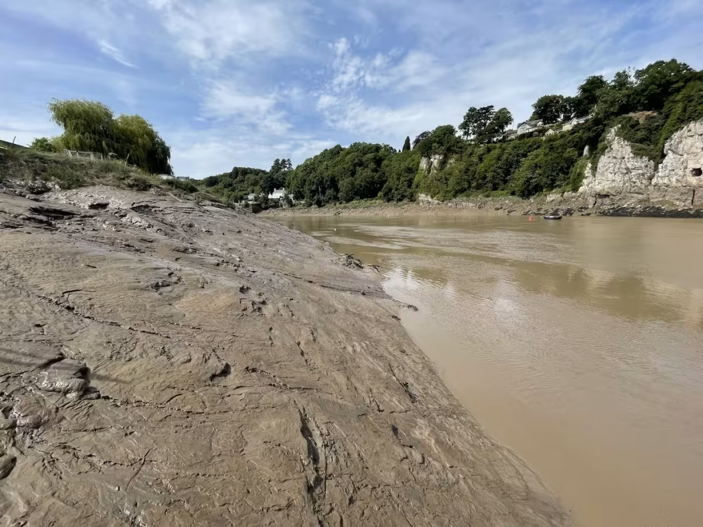
As the tide went out, we noticed that the banks of the river became increasingly muddy as the receding water exposed large banks of thick estuarine mud.
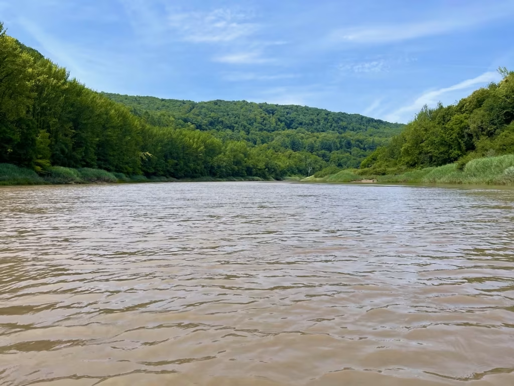
As we had expected, there were very few spots where you could actually land and get out due since the riverside almost entirely consisted of large banks of thick mud.
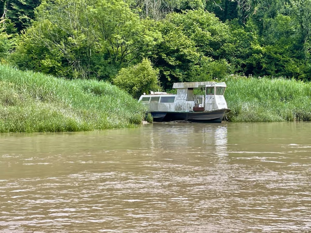
The scenery was quite spectacular, in my view some of the best scenery that we’ve paddled past on all of the Wye.
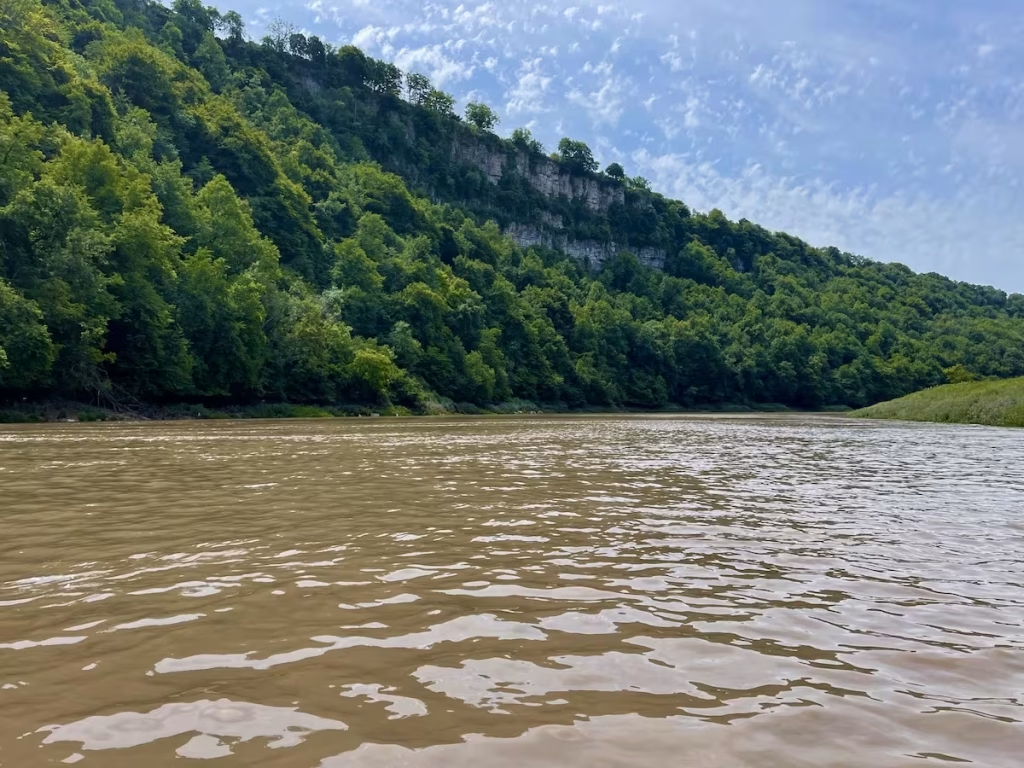
Despite the relative ‘inaccessibility’ of this stretch of the river, it is well worth doing to see the towering wooded valley sides interspersed with gleaming white cliffs.
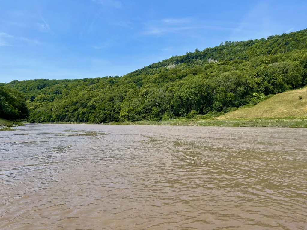
These muddy banks are of course quite common on tidal stretches of river when the tide levels starts dropping. It can be a bit unnerving if you are not used to it because you feel a bit vulnerable not being able to just pull up on the bank and get out.
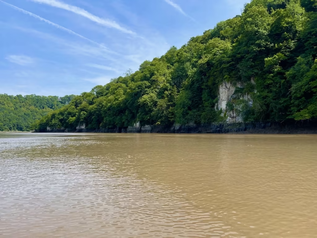
The Lower Wye valley Gorge is in the Wye Valley Area of Outstanding Beauty. The woodlands of the lower Wye Valley are one of the most important areas for woodland conservation in the UK.
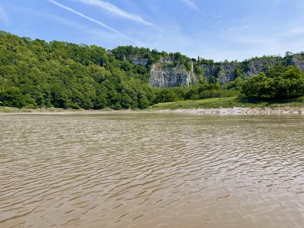
The towering cliffs of Lancaut reserve came into view. Lancaut reserve is a 24-hectare (59-acre) site and lies on the east bank of the Wye Gorge, north of Chepstow. The gorge is formed from massive Lower Carboniferous limestones and sandstones and rises 250 ft above the river.

As we paddled further downstream, the muddy banks on the sides of the river seems to get bigger and bigger, although this was I’m sure partly due to the fact that the water level was slowly dropping as the tide went out.
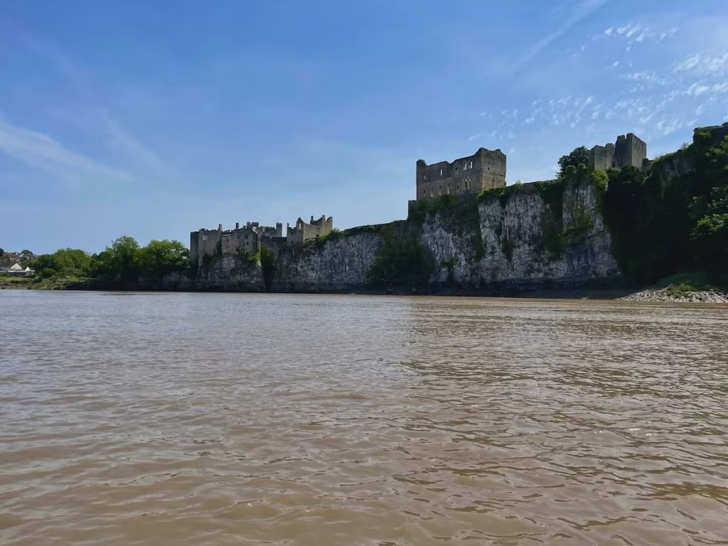
By about 13:30 we were approaching Chepstow. The turrets of Chepstow castle loomed into view on the West Bank.
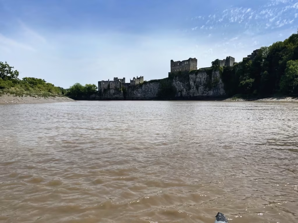
Building was started in 1067 by Earl William fitz Osbern, close friend of William the Conqueror, making it one of the first Norman strongholds in Wales. In turn William Marshal (Earl of Pembroke), Roger Bigod (Earl of Norfolk) and Charles Somerset (Earl of Worcester) all made their mark before the castle declined after the Civil War.
The Old Wye Bridge came into view just downstream from Chepstow castle.
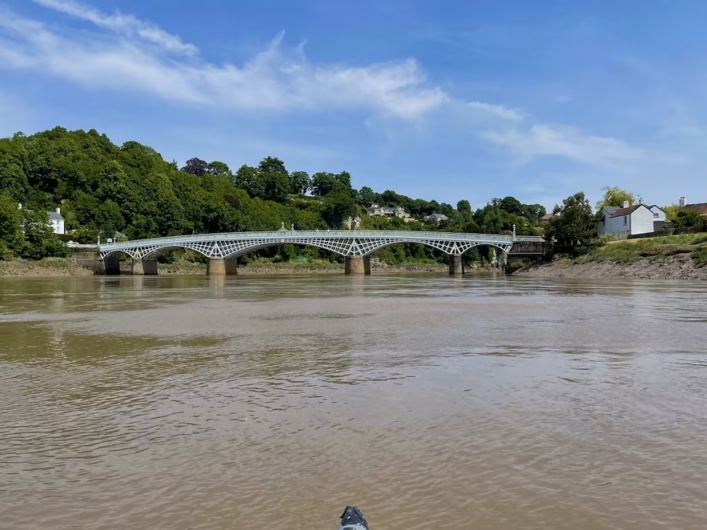
Although there had been earlier wooden bridges on the site since Norman times, the current road bridge was constructed of cast iron in 1816 during the Regency period.
Chepstow is a lovely old town and well worth a visit, not just for the magnificent castle. It has a cluster of medieval streets sandwiched between the castle and the bend in the river.
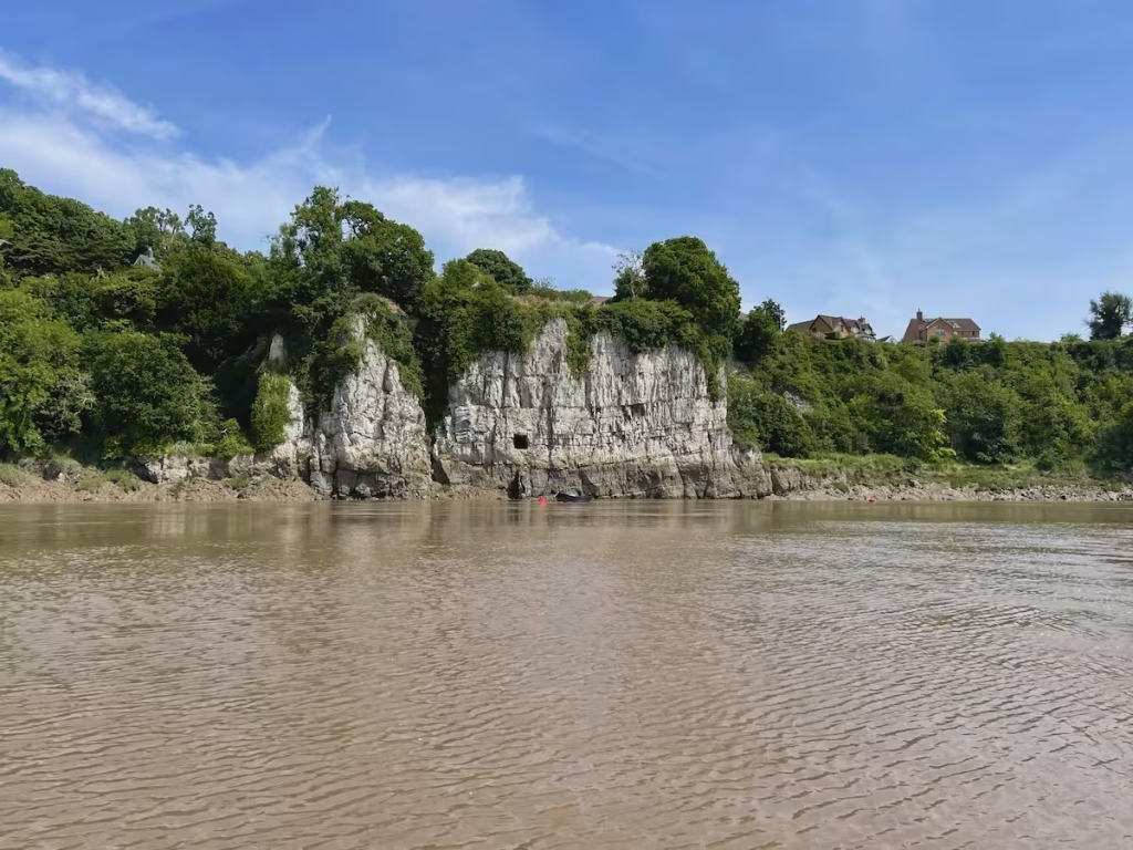
As it approached 13:40 we got sight of the pontoon at Chepstow Boat Club. Both Archie and I treated a huge sigh of relief to see that the water level was still up above the bottom of the pontoon so that we could still land the kayak at it.
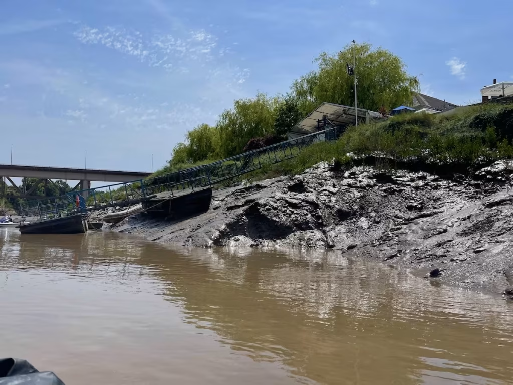
We ‘touched down’ on the Pontoon at 13:40, with an audience of people drinking in the beer garden of the Boat Inn alongside the pontoon. I don’t think they expected to see a large blue inflatable tandem kayak come and pull up alongside the pontoon judging by the looks on some of their faces!
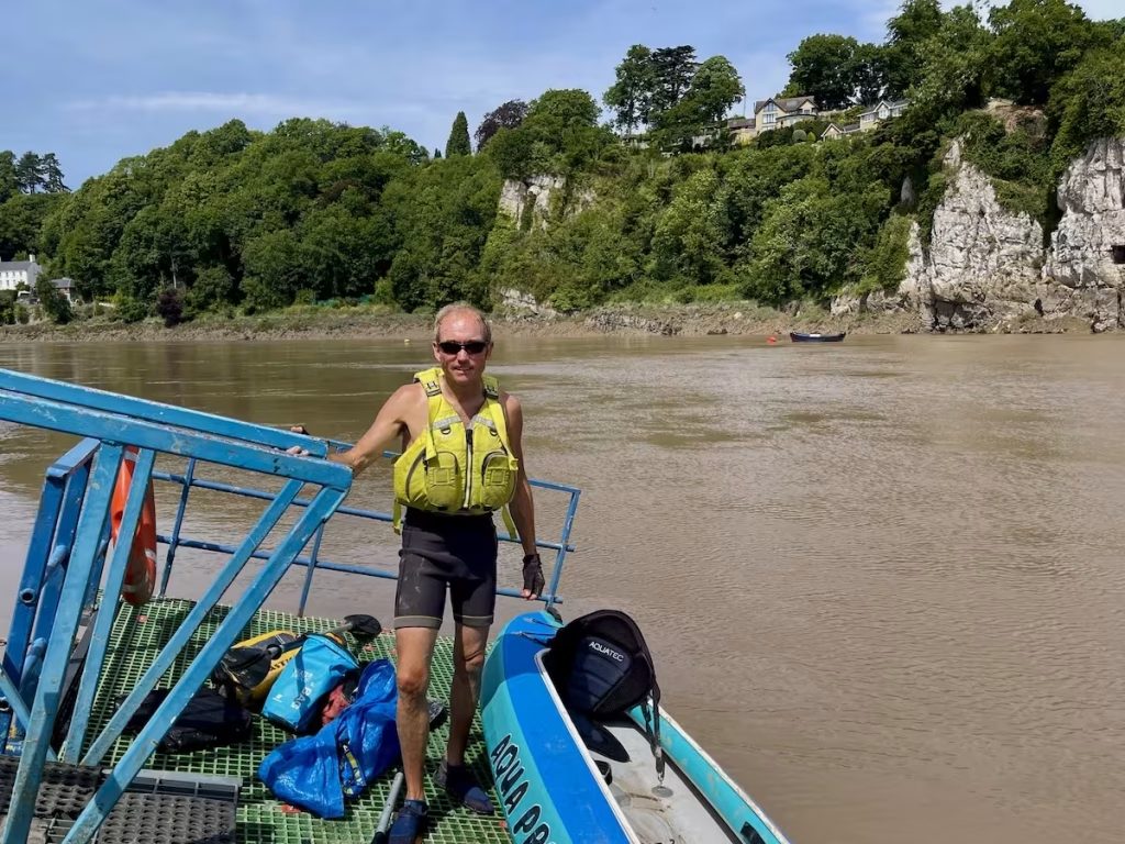
The river was level with the bottom of the pontoon as we clambered onto it so we’d judged it perfectly! It was quite a steep climb up the pontoon to the bank by the beer garden of the Boat Inn.
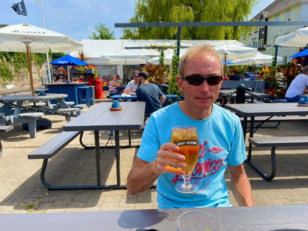
After deflating ‘the Bismark’ and packing up, Archie and I each had a very refreshing cider in the beer garden of the Boat Inn having gazing over the river towards the white limestone cliffs on the other side.
5. LOGISTICS
At Brockweir, the best spot to park is probably about 200 meters up the road from the Brockweir Bridge on the West Bank where there is a long lay-by with room for about 6-7 cars.
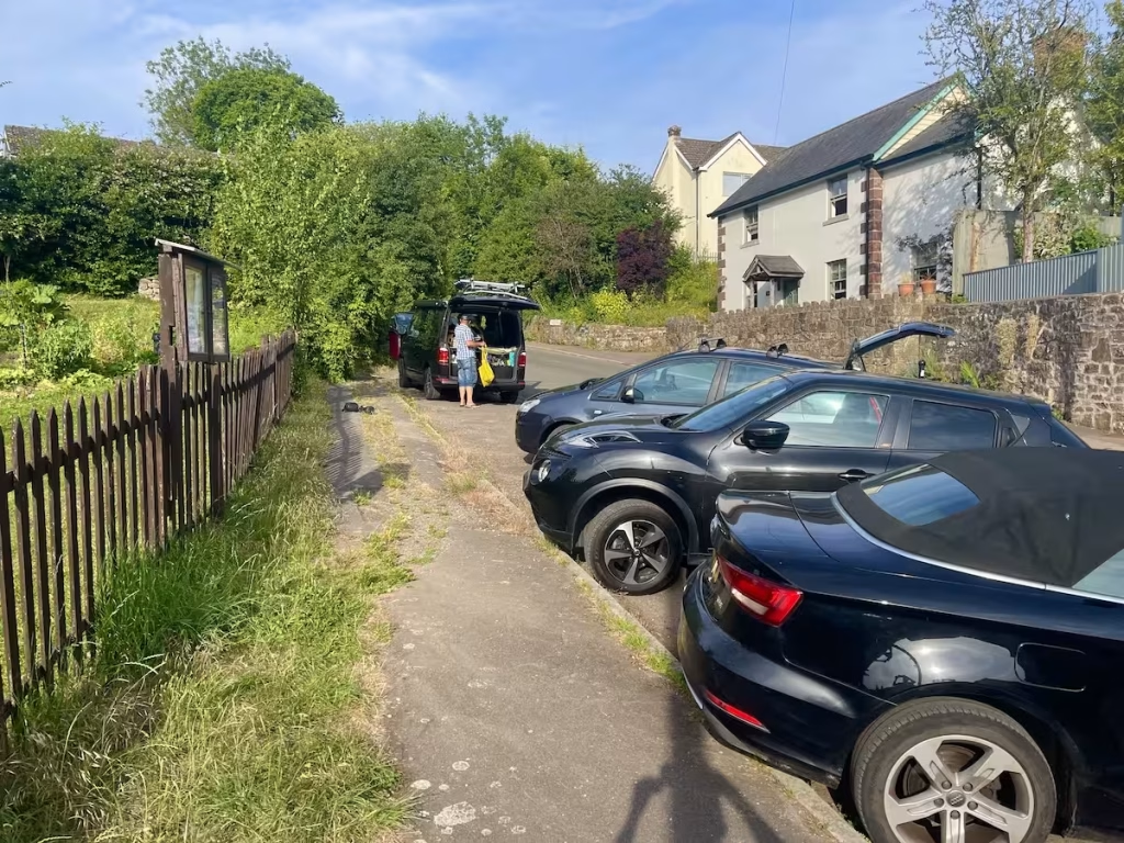
If you have heavy kayaks and/or a lot of gear, then you could drop them off right by the launching area just above the bridge on the East bank and then go and park up in the lay-by up the road.
We would not advise parking right by the launch area though since there is not much space and it presumably is used by residents who would get annoyed if kayakers kept taking up their parking area.
At Chepstow, the only landing spot we are aware of is the pontoon at the boat club by the Boat Inn. You should be able to park near to here although parking may be a bit tight during peak periods.
We originally booked a taxi to take us back from Chepstow to Brockweir after finishing our kayak and were quoted £20. We use inflatable kayaks so we would simply have put this and our gear in the boot of the taxi. There are a number of taxi firms in Chepstow.
However, we cancelled the taxi because a friend who lives locally offered to meet us at the Boat Inn and take us back to Brockweir where we had left Archie’s VW.
There is a bus 69 operated by Phil Anslow Coaches that runs between Chepstow and Brockweir which could also be used to get back to the start. Note that there are 2 bus stops on the A466 just downstream from and upstream from Brockweir Bridge on the West bank.
6. DANGERS / ISSUES
While this section of the lower Wye River has some amazing scenery and is blessed with the hugely impressive Tintern Abbey and Chepstow Castle, is is maybe the most challenging section to paddle due to the fact that it is VERY tidal.
You need to check the tide times for Chepstow. We would suggest that you use this website, since we had several conflicting tide forecasts for Chepstow from different websites. Special thanks by the way to Chepstow Boat Club for the use of their pontoon which is very much appreciated.
You also need to check the height of the high tide. On the day of our kayak, the high tide was about 13 meters. If the high tide is less than say 11 meters then I think you’d struggle to be able to land on the pontoon more than an hour or so after high tide.
The website for Chepstow Boat Club says that, “The club has a pontoon which is available 2 hours or so before and after H.W. at Chepstow. Those wishing to stay for more than an hour or so, will need to contact the Club Moorings Officer, or another officer. The pontoon floats at approx 9.5m.”

Having established what time is high tide at Chepstow and that the high tide level will be high enough to access the pontoon, you ideally need to be actually launching from Brockweir about 1 hour before high tide. While the tide will still be coming in at Brockweir at that time, you should be able to make reasonable headway downstream against it and it will soon turn anyhow.
You need to be landing at the pontoon at Chepstow no later than about 2 hours after high tide. If you get to Chepstow later than this then the water may have dropped lower than the bottom of the pontoon (depending on the height of the high tide)and you will not be able to land!
If you get to Chepstow too late and cannot land at the pontoon then we do not know anywhere else to land at Chepstow.
WARNING – IF YOU DO NOT ADHERE TO THE ABOVE YOU RUN THE RISK OF NOT BEING ABLE TO LAND AT THE PONTOON AT CHEPSTOW AND MAY HAVE TO SOMEHOW CRAWL UP VERY MUDDY BANKS TO GET OUT DRAGGING YOUR KAYAK AND GEAR THROUGH THE MUD!
7. KAYAK USED
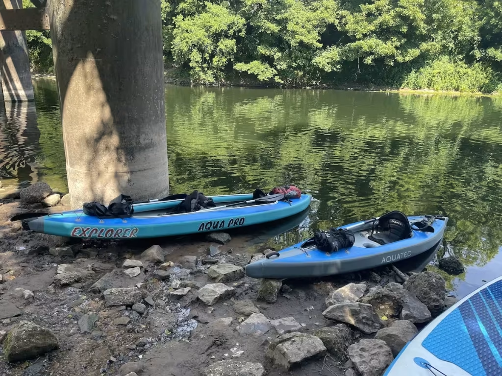
On this trip we used a tandem full drop stitch inflatable kayak.
It is similar to the ‘Sandbanks Style Optimal’ kayak and the Aquatec Ottowa kayak which can be bought in the UK.
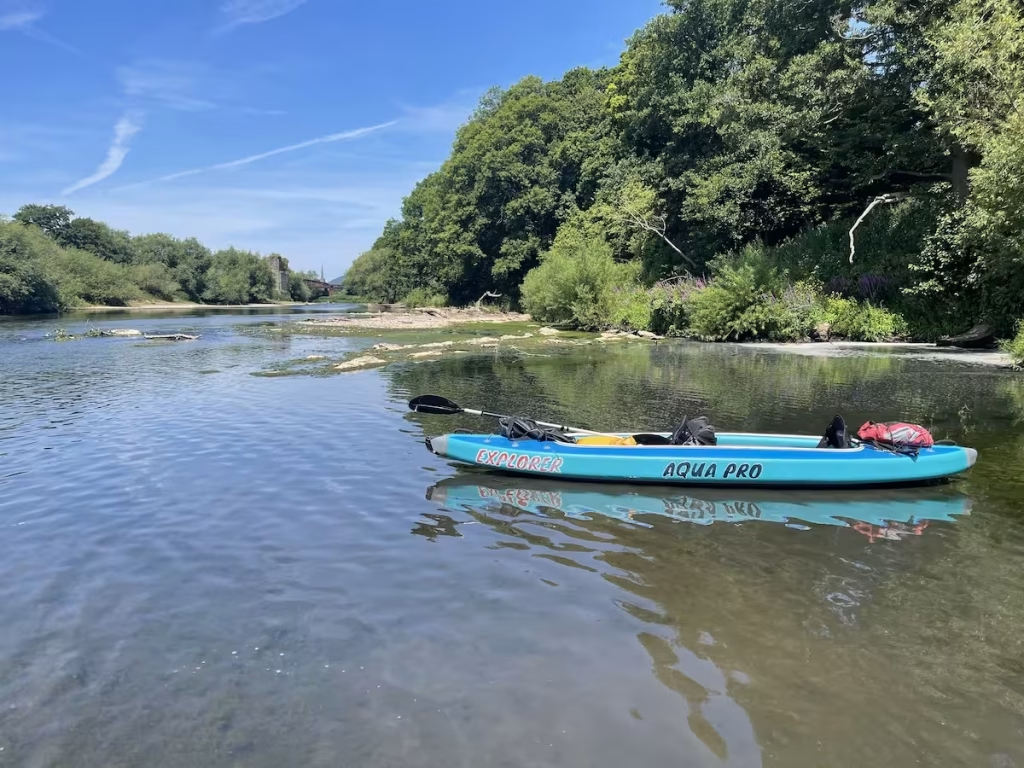
Drop stitch construction for inflatable kayaks allows the chambers to be inflated to a much higher air pressure. Our tandem can be inflated to 10-12 PSI which makes the entire hull and decks quite hard (similar to an inflatable SUP).
8. THE WYE RIVER
This journey was part of my undertaking to paddle every section of the Wye River between Hay on Wye all the way down to Chepstow. The map below shows how we broke the Wye River up into sections for my paddles.
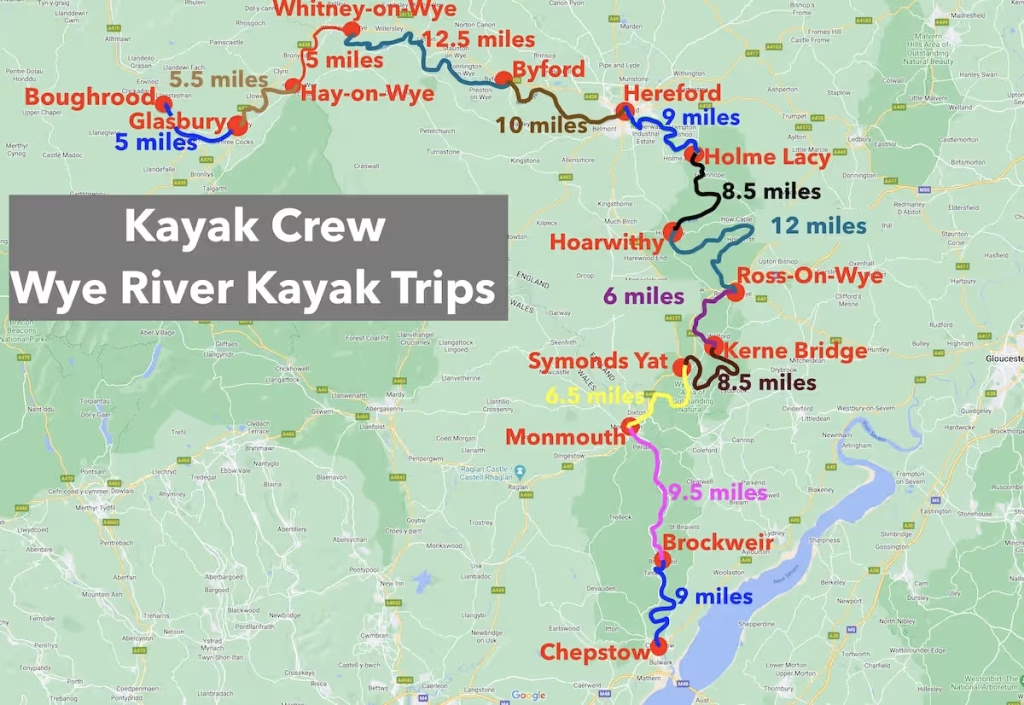
The Wye is one of the best kayaking rivers in Europe if not the world. The total distance between Boughrood and Chepstow is about 111 miles.
I am uploading our blogs of our exploration of the Wye River by kayak to our posts page for the Wye River. We are also uploading videos of all of our trips along the Wye to the Wye Valley playlist of our Youtube channel.
9. SUMMARY
This 9 miles paddle on the lowest section of the Wye from Bigsweir down to Chepstow was maybe one of the most stunning in terms of scenery and sights of all of our Wye River paddles.
The towering limestone gorges fringed with dense woodlands dropping right down to the river afforded some of the most scenic landscapes that I’ve seen on all of my river paddles.
Tintern Abbey was another highlight of this trip, a magnificent Cistercian Abbey alongside the river.
Chepstow Castle was another architectural gem from the Middle Ages on this route.
As a final word of caution, you really do need to leave Brockweir with plenty of time to get to Chepstow no later than no hours after high tide in order to be able to land at the pontoon at the Boat Club, but as long as you get that right, you will be rewarded with a memorable paddle.
The link to our Youtube video of this kayak is below: