
CONTENTS
- Date, Distance & Duration
- Map of the Route
- Tide Times & Weather
- Port Eynon to Rhossili kayak
- Logistics
- Pubs & Restaurants
- Dangers & Issues
- Sandbanks Style Optimal
- Summary
1. DATE, DISTANCE & DURATION
9 July 2024.
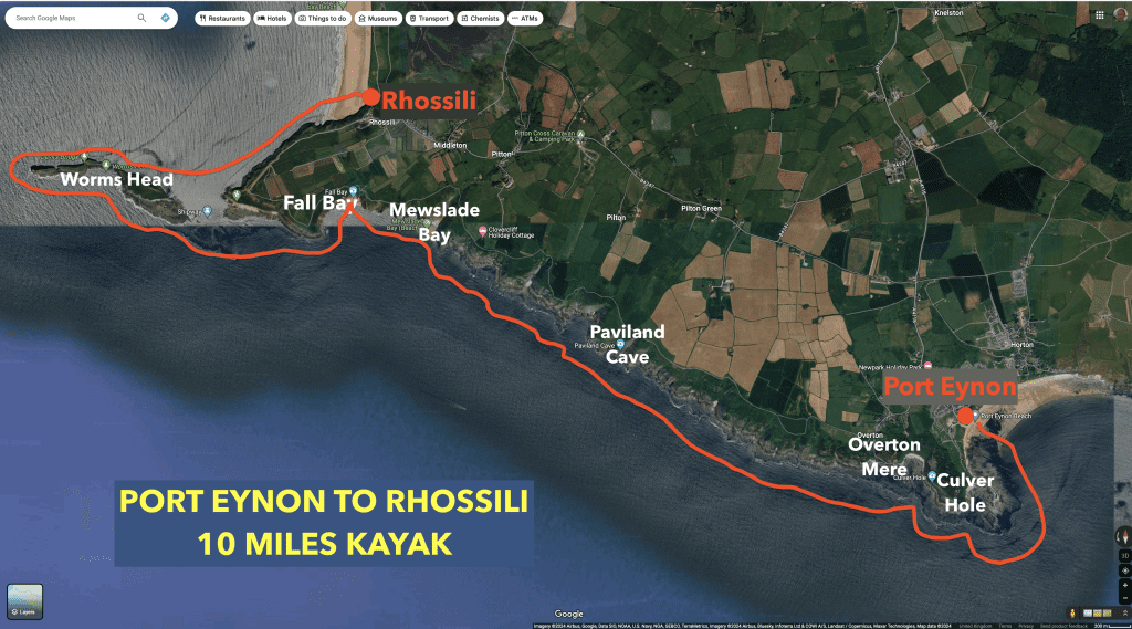
10 miles route.
4.5 hours paddling, 1 hour break.
2. MAP OF THE ROUTE
3. TIDE TIMES & WEATHER
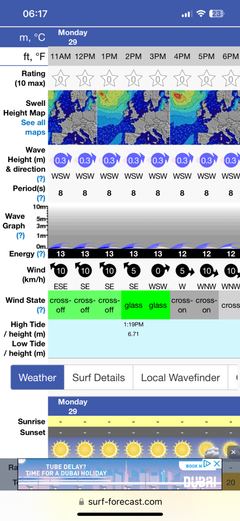
It was high tide at about 13:20 and low tide at about 19:00 on the day of our kayak.
It was a sunny, hot day, with temperatures of about 20-23 Celsius with light winds of about 10mph from the South which dropped into the afternoon and swung round from the West.
4. port eynon to rhossili kayak
We launched at about 12pm from the beach at Port Eynon.
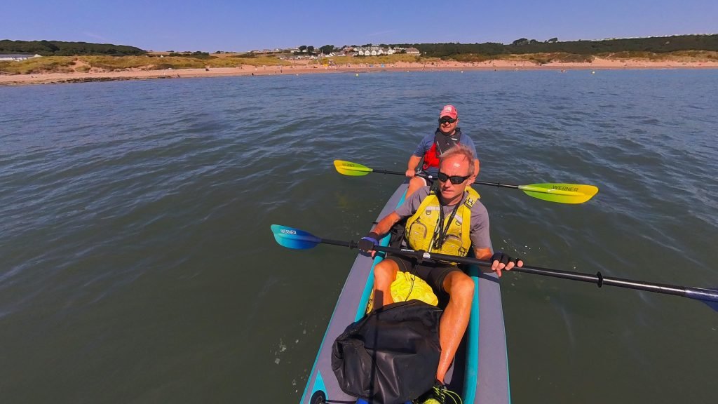
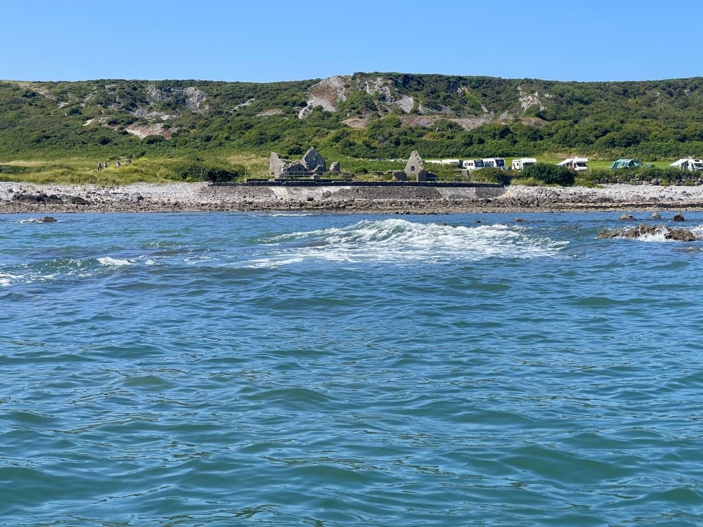
We passed the Salt House at Port Eynon which was originally built in the mid 16th Century as a site of salt production.
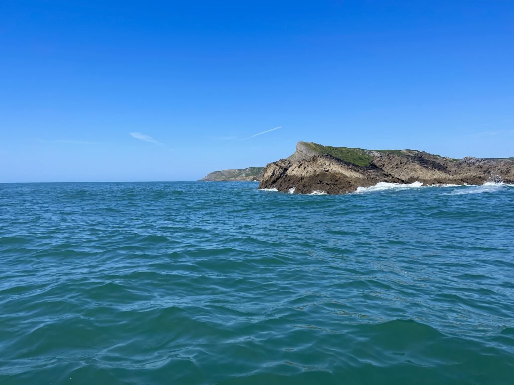
As we started to round Port Eynon Point, the sea became rough due to the incoming tide running over the reef which runs out from the point.
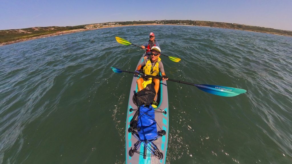
We rounded the tip of Port Eynon Point, the Southernmost point of the Gower Peninsular.
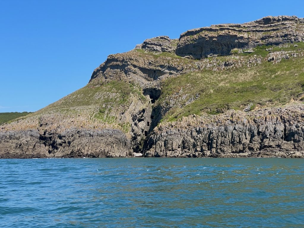
On the West side of Port Eynon Point is Culver Hole, an 18 meter high wall built into the cliff which is believed to have been built in the 13th or 14th century as a shelter for domesticated pigeons.
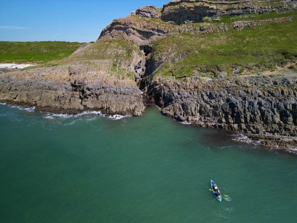
We paddled from Culver Hole round into shingle and rocky bay at Overton Mere
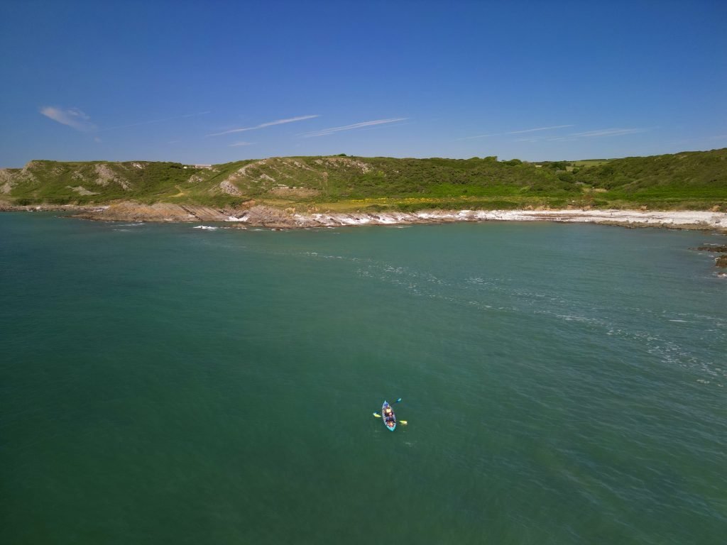
At low tide at Overton Mere you can see some of the wreckage Wittezee, a Rotterdam registered tug which came to grief here in gale force winds on the 12th November 1940.
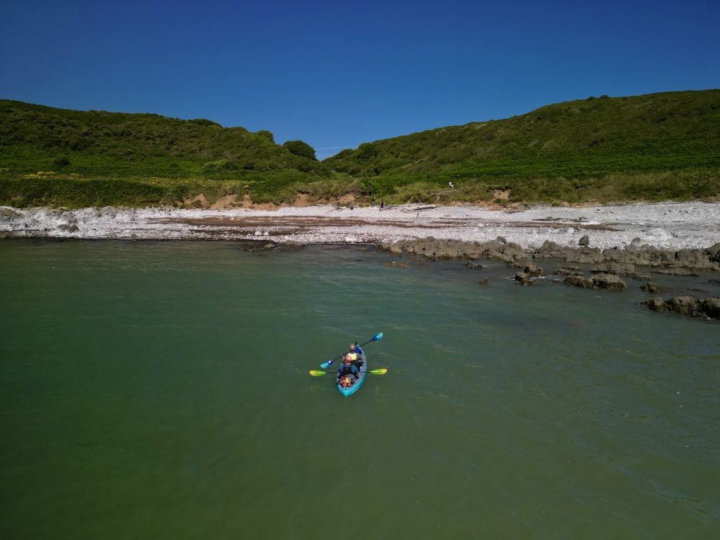
The West Gower coastline offered us views of stunning cliffs and rock formations.
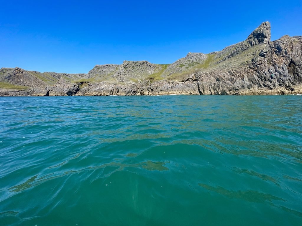
We passed the enchanting Paviland Cave which was the location of the first systematic excavation of a human skeleton and of the first recovery of a human fossil: the misnamed ‘Red Lady’. However, it is now known to have been a ceremonially buried young adult male, a representative of the early humans who entered Europe around 40,000 years ago, during the last ice age.
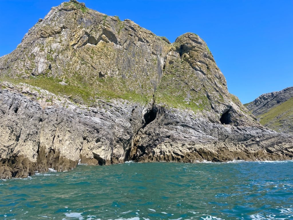
We continued up the coast, passing by Mewslade Bay. We had launched twice previously from Mewsade but it’s about 2/3 of a mile from the car park at Pitton down to the bay.
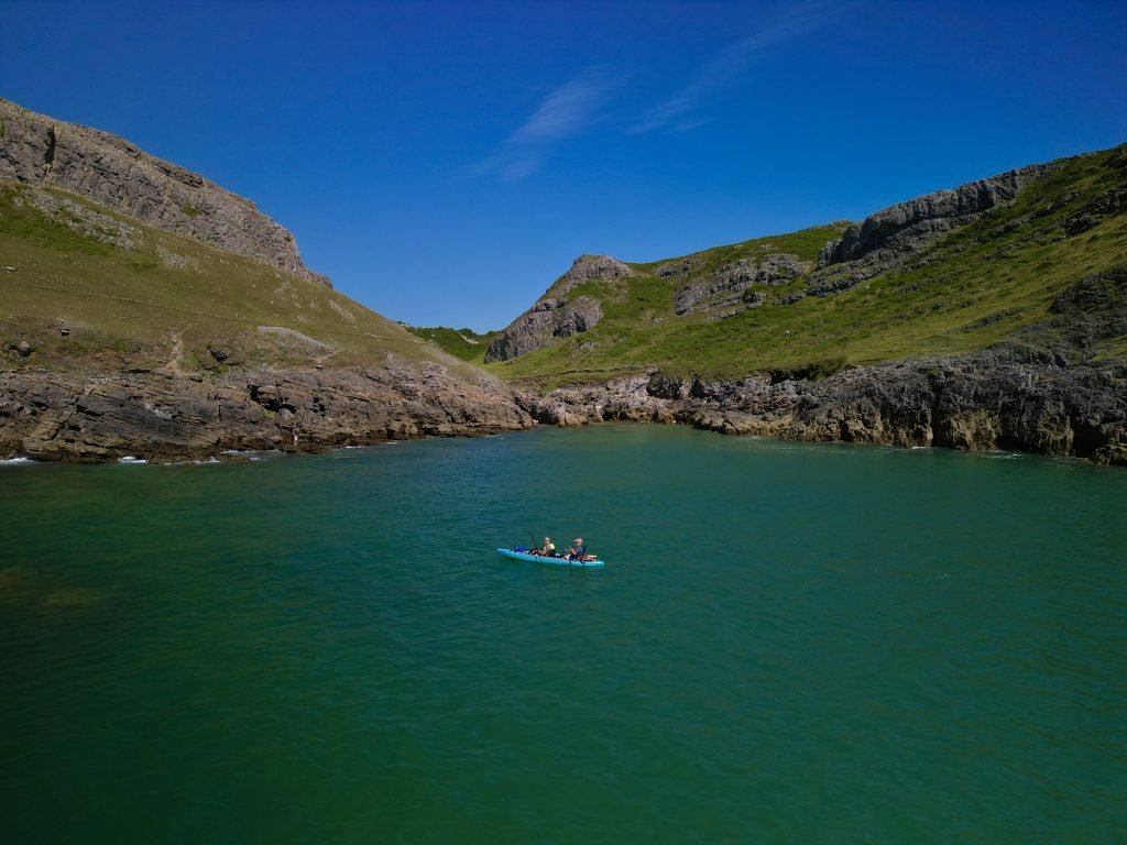
The scenery was stunning, some of the best that I’d seen on any of the Welsh coast up to the date of doing this trip.
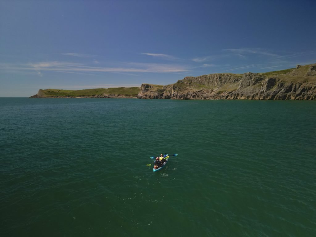
We landed at Fall Bay where I managed to foolishly crash my drone into the cliff on the right.
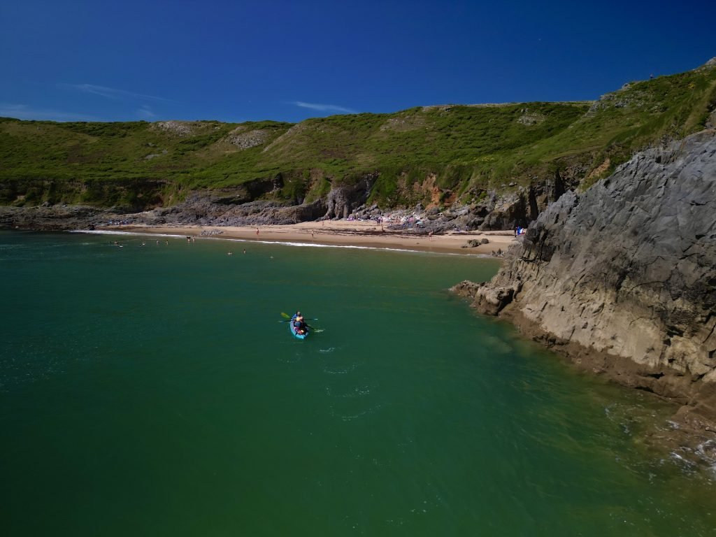
Luckily I was able to climb up and recover the drone from the ledge it had landed on and after changing some damaged propellors, I gave it quick test flight above the beach to check it was still airworthy.
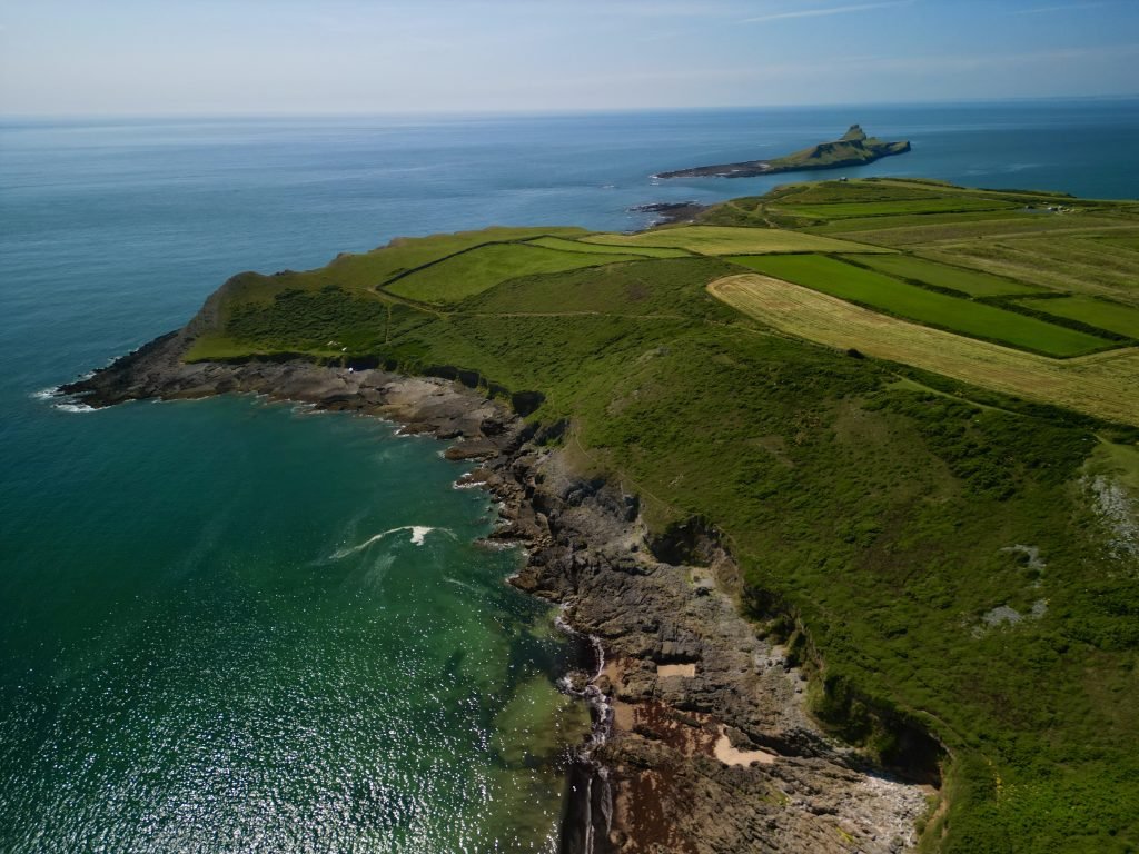
We set off from Fall Bay and paddled out across the shallows between the mainland and Worms Head. It was quite a rough crossing due to the outgoing tide churning up as it ran across the shallows.
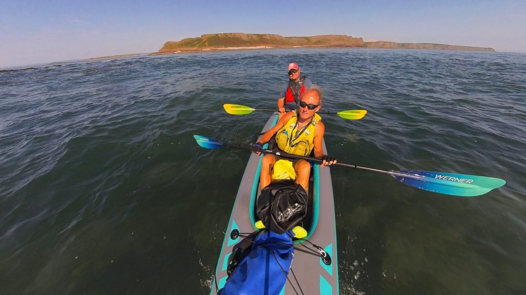
We paddled out along the Southern side of Worms Head, a beguiling headland of carboniferous limestone.
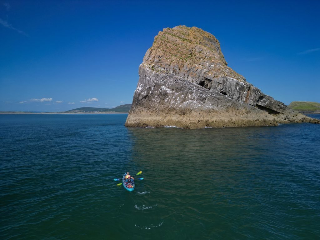
The end of Worms Head is a magical location, being the Westernmost point on the Gower Peninsular.
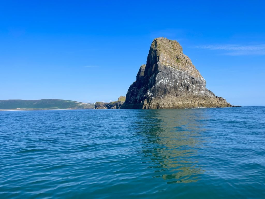
As we rounded the end of Worms Head, we got a panoramic view across Rhossili Bay looking Northwards towards Burry Holms at the other end of the Bay.
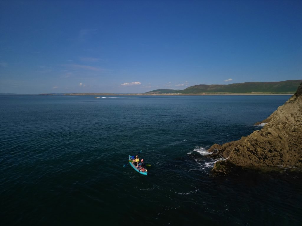
We set off down the Northern side of Worms Head, paddling towards Rhossili Bay.
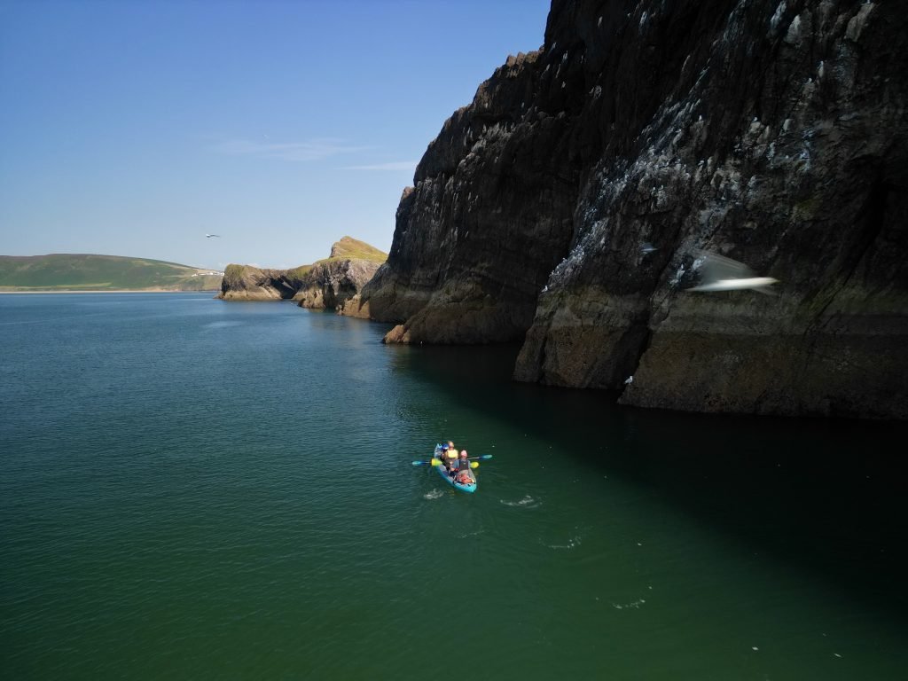
In total, Worms Head is approximately one mile long and is only accessible on foot for 2 and a half hours either side of low tide via a causeway which connects it to the mainland.
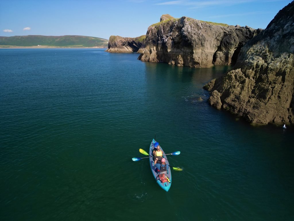
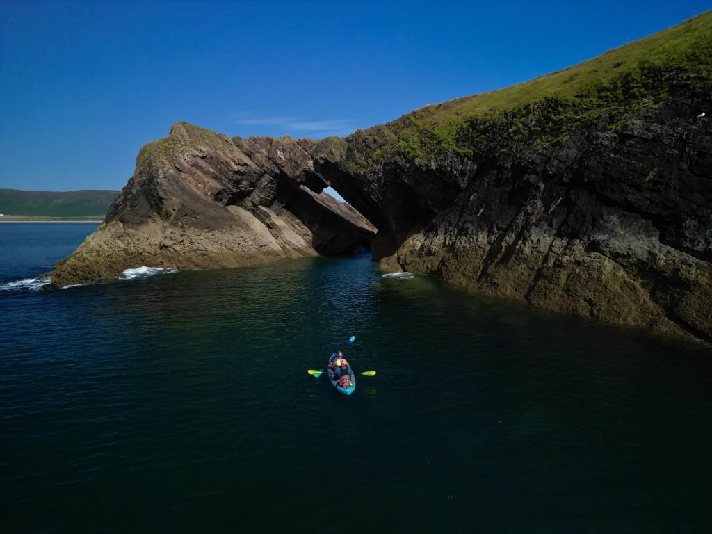
We passed the large sea cave called the Devil’s Bridge which is one of the most photographed features on the Gower.
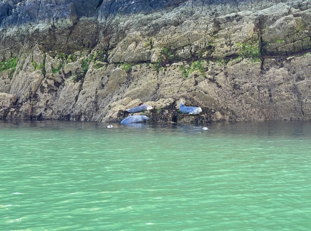
We came upon a several gangs of seals lounging on the rocks.
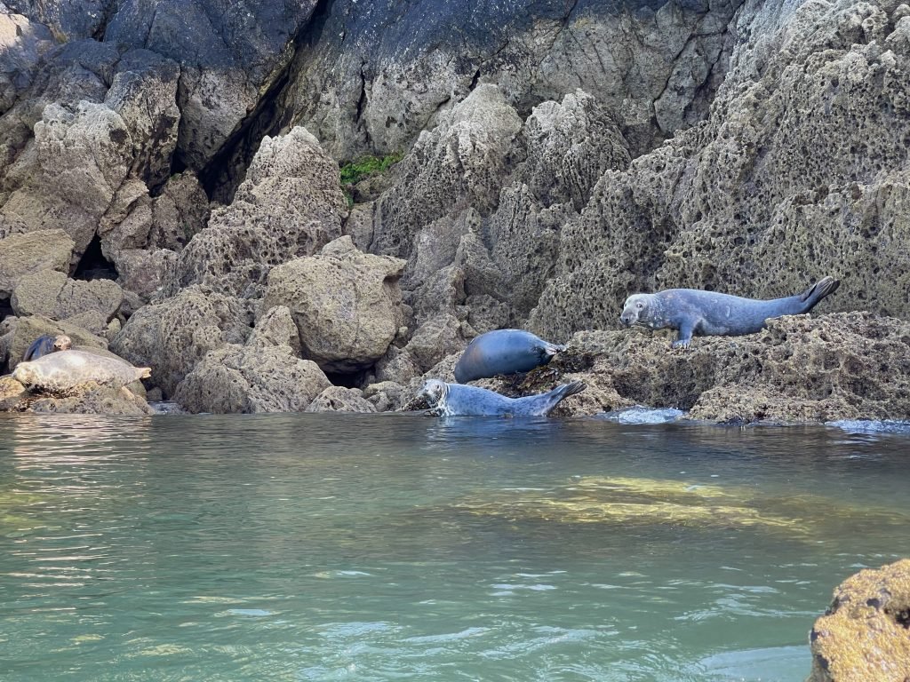
Most of the seals showed little interest in us as we paddled by, other than raising their heads to watch us as they lounged on the rocks.
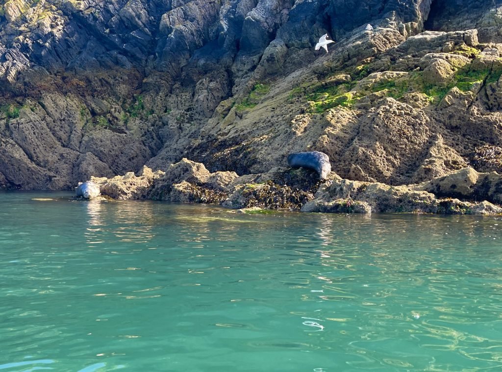
There is a resident colony of Atlantic grey seals on Worms Head and I’ve seen seals every time that I have paddled there.
Worms Head is comprised of three islands: the Inner Head, the Middle Head and the Outer Head.
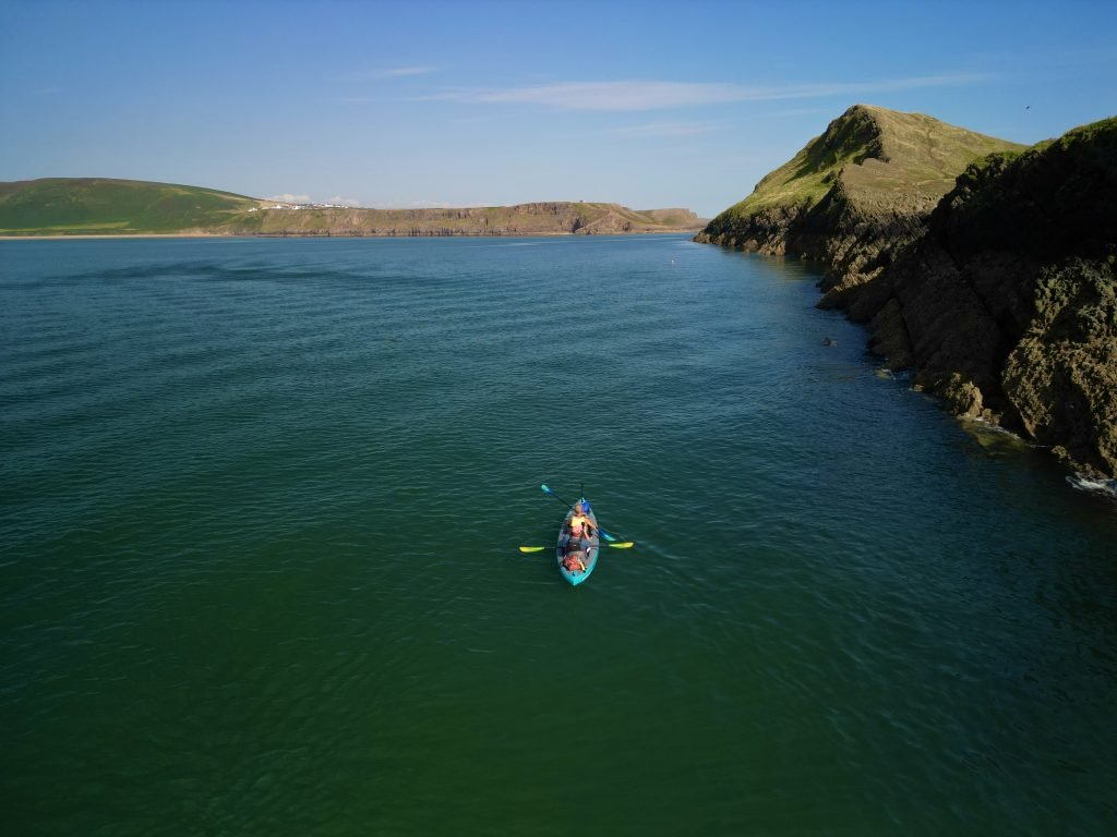
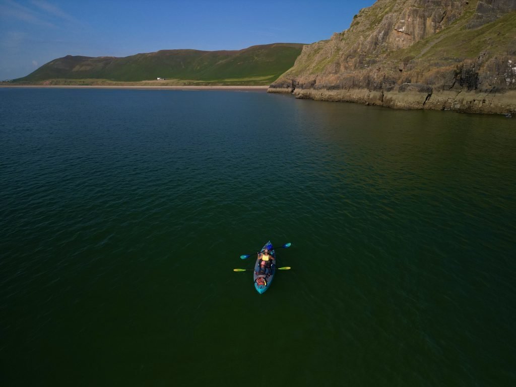
After leaving Worms Head behind, we paddled along the cliffs leading towards Rhossili Bay, with the towering Rhossili Down, the tallest point in the Gower, looming in the background.
The name Worm’s Head is derived from an Old Norse word ‘wyrm’ for ‘sea serpent’. The Vikings believed the island was a sleeping dragon, because of its shape, rising from the sea like a mythical beast.
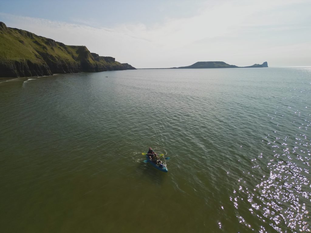
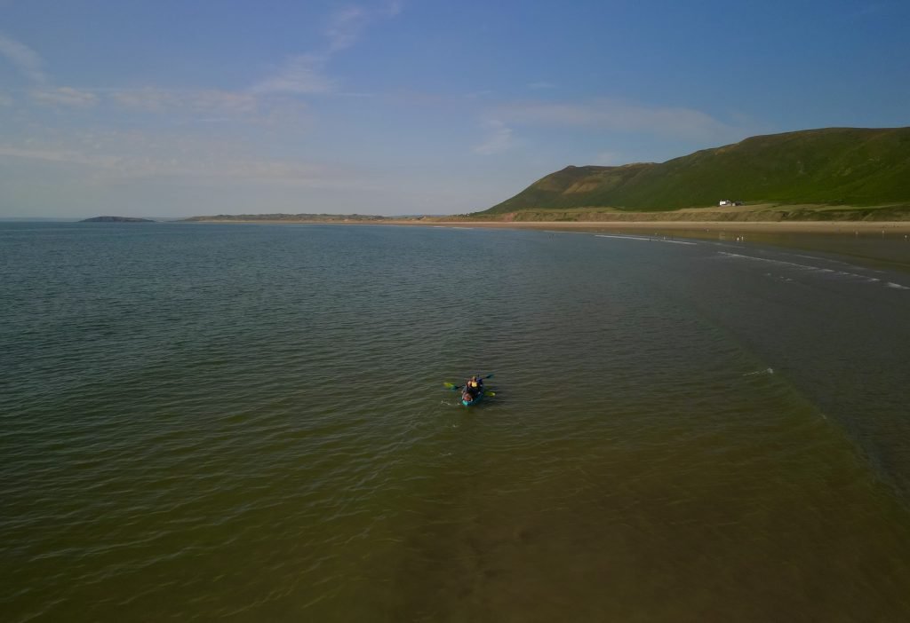
At about 17:30 we landed on the beach at Rhossili.
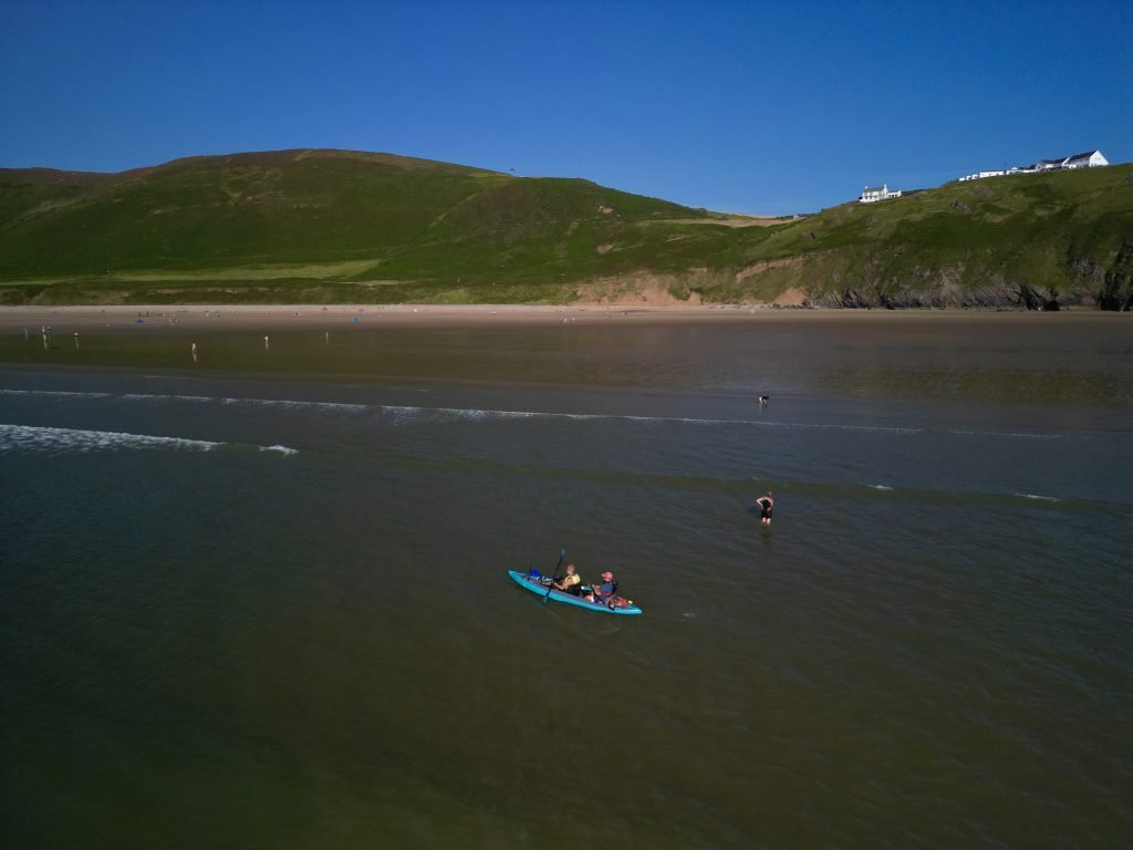
What a great paddle on one of the most amazing sections of the Gower Peninsular, if not the entire Wales Coast.
5. logistics
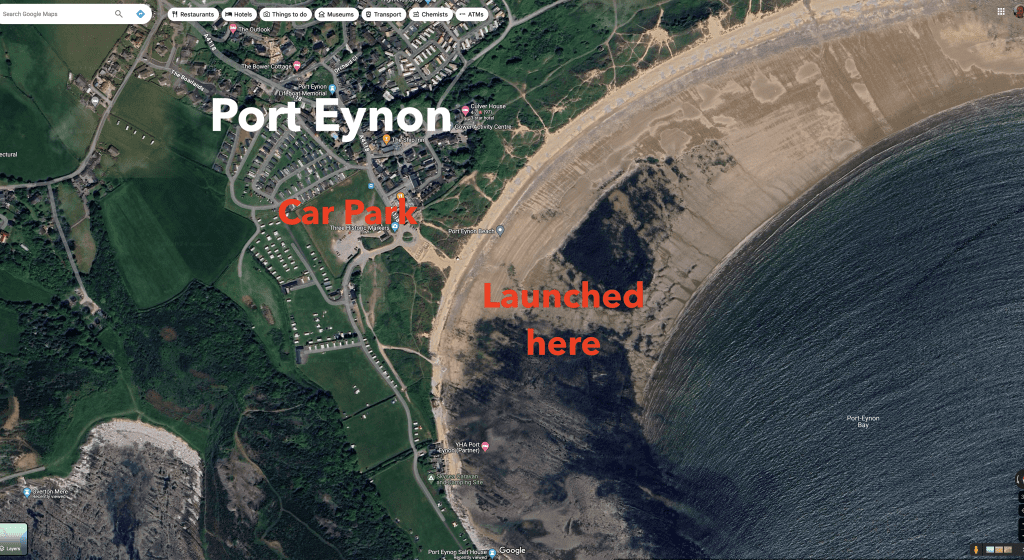
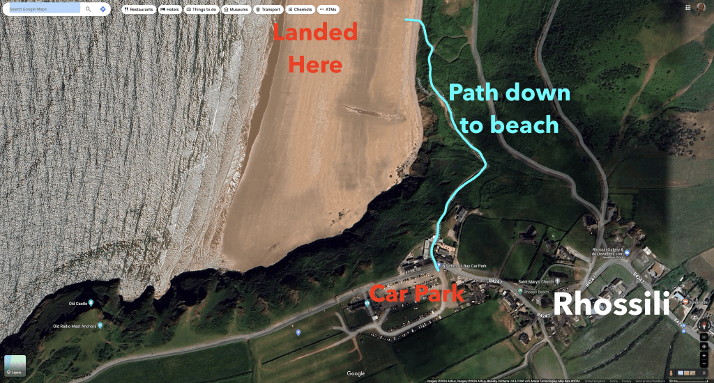
In terms of logistics, we’d left cars in the National trust car parks at either end of the route at Port Eynon and Rhossili.
You have to pay to park at both of these car parks.
The car park at Port Eynon is a short flat walk from the beach.
The car park at Rhossili is up on the cliff above the beach and you have to trek almost half a mile up the steep path from the beach to the car park.
If you only had 1 car then you can get bus 118 from Rhossili to Port Eynon or vice versa. Strangely, while bus 118 runs frequently from Rhossili to Port Eynon, it seems to run much less frequently going in the other direction.
6. pubs & restaurants
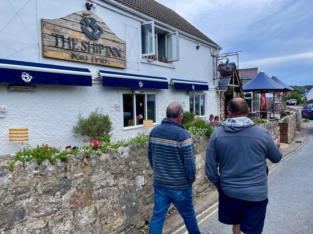
The Ship Inn, Port Eynon
The Ship Inn at Port Eynon is a great Gower pub with a maritime theme.
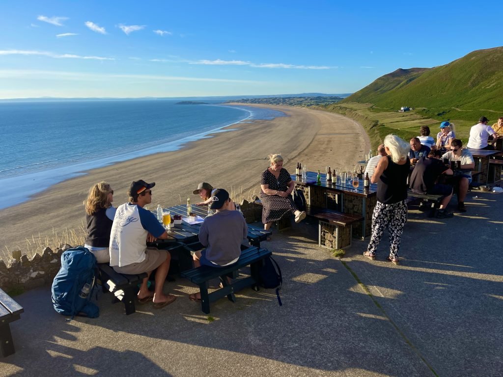
The Worms Head Hotel, Rhossili
The Worms Head Hotel at Rhossili must have one of the finest views of any beer garden in the UK, overlooking the stunning Rhossili Bay.
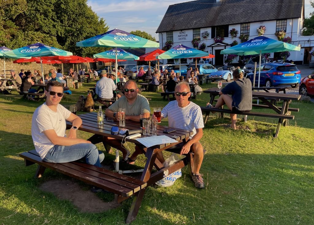
The King Arthur Hotel, Reynoldston
The King Arthur Hotel at Reynoldston is about 10 mins drive from both Port Eynon and Rhossili. It has a traditional, cosy interior and a spacious beer garden out front with views over the village green.
7. dangers & issues
This is an exposed and remote coastline and we’d recommend only paddling it in favourable conditions such as those we had on the day of this paddle.
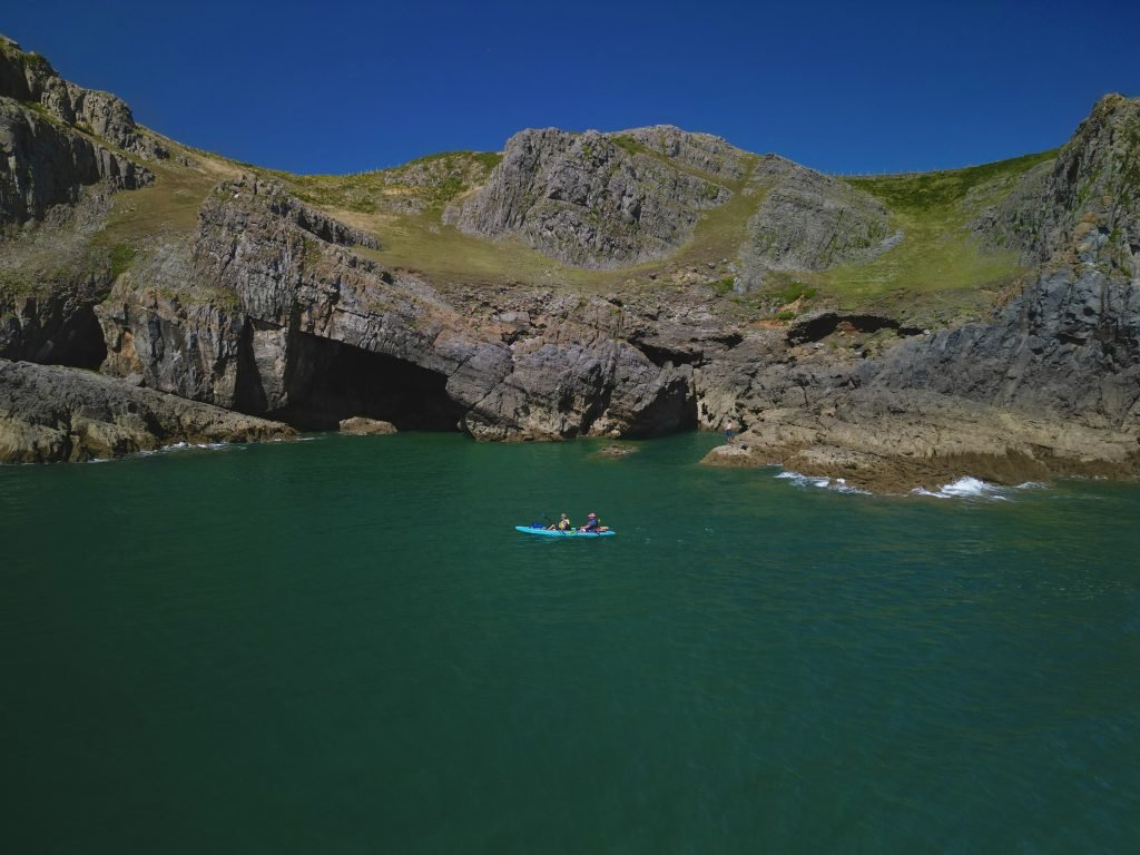
The sea swell forecast predicted fairly light winds of 10mph from the South swinging round from the West and this also turned out to be an accurate.
The primary swell forecast was only 0.3 meters from the South West but transitioning to a glass sea by late afternoon and this aspect of the forecast also turned out to be accurate.
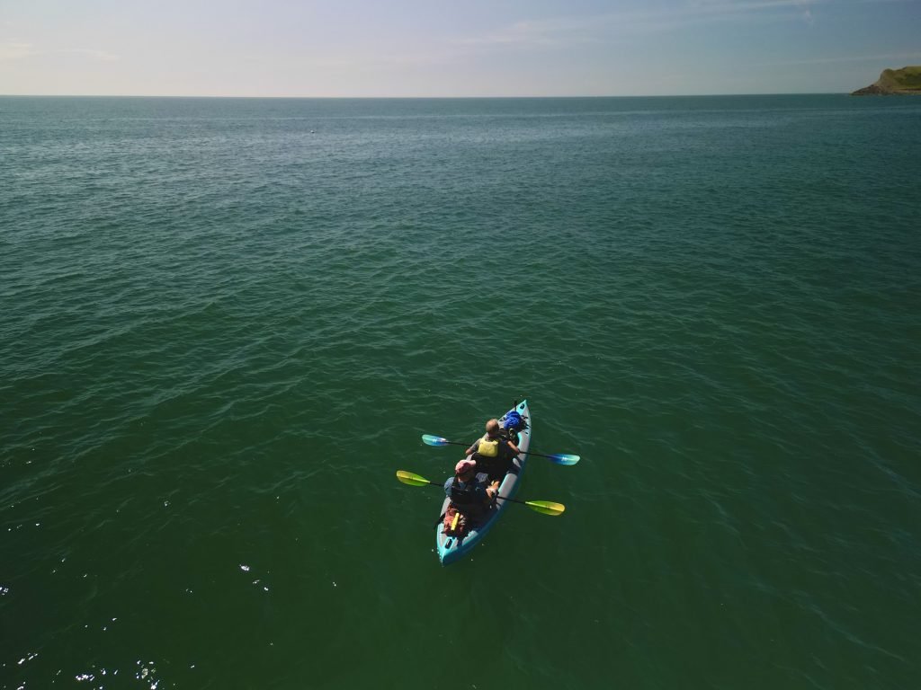
The sea is usually calmer on this North side of Worms head compared to the sea on the South side of the headland since it’s more protected from the Western swells.
On the Gower, the outgoing tide runs East to West and it runs West to East as it comes in. It can cause the sea to get quite rough off Port Eynon Point as the tide races over the reef off the point.
The other tidal race on this route is on the stretch of water between Rhossili and Worms Head, where there are shallows which cause the sea to get rough at certain times of the day as the tide runs over them.
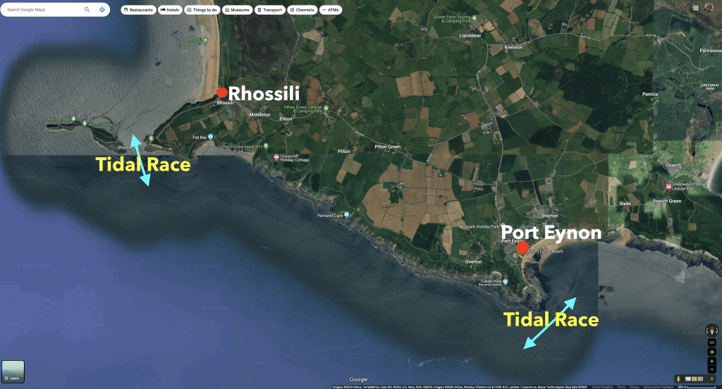
The tidal races at both the above locations will of course cause the sea to get rough at certain times of the day, namely, other than with an hour or so either side of high tide and low tide when you get ‘slack water’.
8. SANDBANKS STYLE OPTIMAL KAYAK
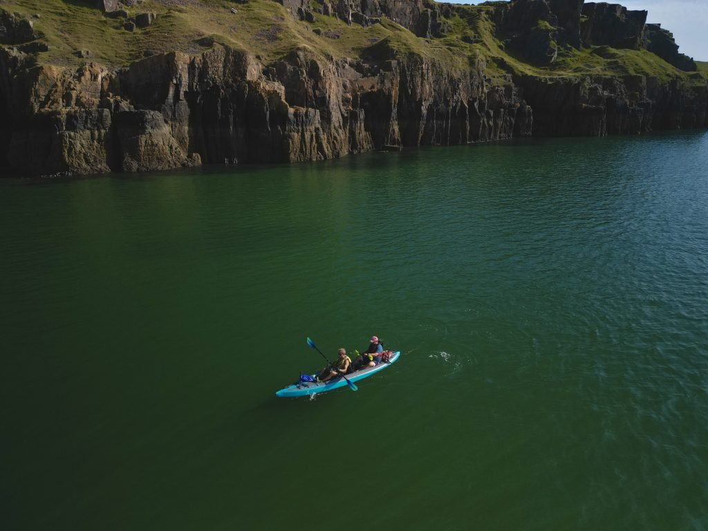
On this trip we were using the tandem version of the Sandbanks Style Optimal full drop stitch inflatable kayak.
The decks and hull inflate to 12 psi, so are very firm and help to give it performance similar to a hard shell kayak, but with the portability of an inflatable.
We have done a full review of the Sandbanks Style Optimal on our and also done video review on our Product Reviews playlist on our Youtube channel.
The Sandbanks Optimal also comes in a smaller solo only version if you prefer going lone wolf.
9. summary
This 5 miles trip was part of our undertaking to paddle every section of the 870 miles of the Wales Coast.
It is a paddle for a calm day, it’s an exposed and quite remote section of the coast.
This is a superb section of the coast with some of the most stunning scenery that I have paddled past.
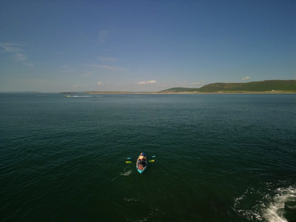
The magical Worms Head was the icing on the cake.
The link to our Youtube video of this trip is below.