
CONTENTS
- Date, Distance & Duration
- Map of Route
- Tide Times & Weather
- The Ogmore Castle to Southerndown kayak
- Logistics
- Pubs & Restaurants
- Dangers & Issues
- Kayak used
- Kayaking the Wales Coast
- Summary
1. DATE, DISTANCE & DURATION
Paddled on 4 April 2021.
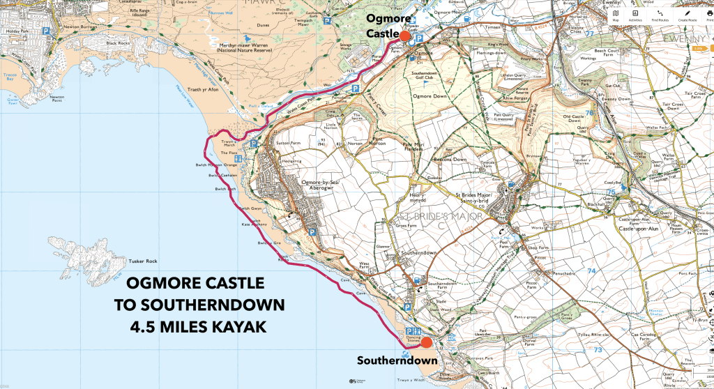
4.5 miles route.
Launched about 12pm from Ogmore Castle. Landed at about 14:30pm at Southerndown (2.5 hours paddling).
2. MAP OF THE ROUTE
3. TIDE TIMES & WEATHER
It was a bright but chilly day, with a high of about 11 Celsius. There were winds of about 16mph from the West.
4. THE OGMORE CASTLE TO SOUTHERNDOWN KAYAK
We launched onto the Ewenny River at Ogmore Castle at about midday on a cold but sunny April morning.
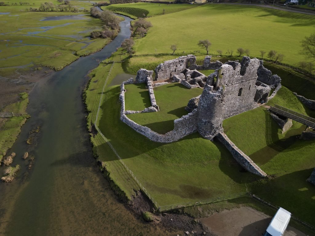
Beginning as a castle of earth and wood in the early 12th century, Ogmore Castle was quickly fortified in stone before being further strengthened with a curtain wall in the early 13th century.
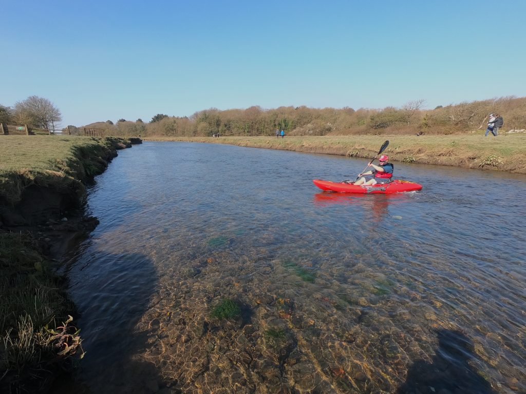
The river was a bit shallow on this section below the castle, partly due to the high tide not being very high on the date in question and partly due to the fact that we had not had much rain in the preceding week or so.
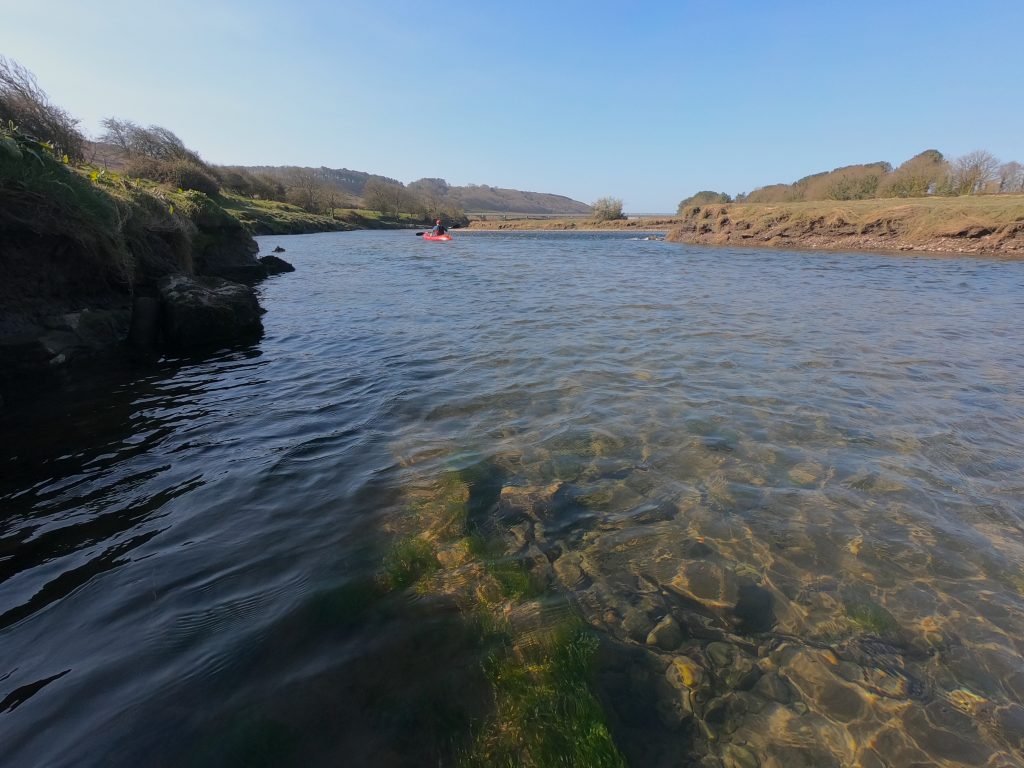
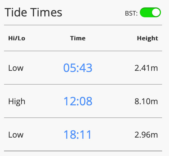
About 3/4 of a mile downstream from Ogmore Castle, we came to where the Ewenny River flows into the Ogmore River. The river becomes very tidal from this point down and since it was about 30 minutes after high tide, we’d start to have the assistance of the outgoing tide taking us downstream.
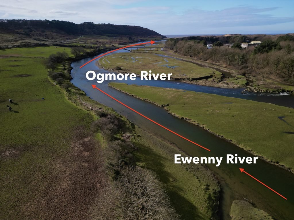
Having joined the Ogmore River, we continued downstream past sand dunes flanked by wooded bluffs.
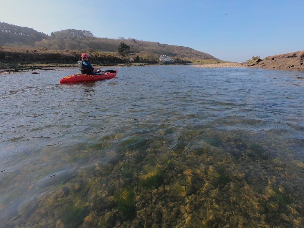
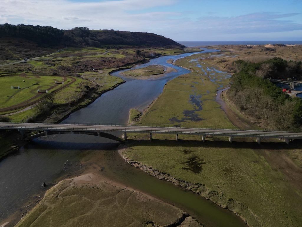
The Ogmore Estuary is much shorter than other estuaries we’ve paddled, with the tidal section running for only 2 miles or so until is flows into the Bristol Channel at Ogmore by Sea.
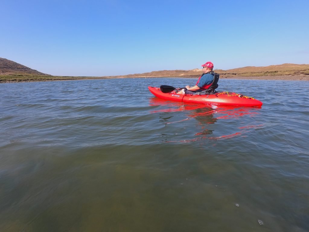
The Ogmore estuary comprises some rather unusual terrain since the river transitions fairly quickly from the wooded valley into the more open estuarine section which is flanked with rolling dunes and heathland.
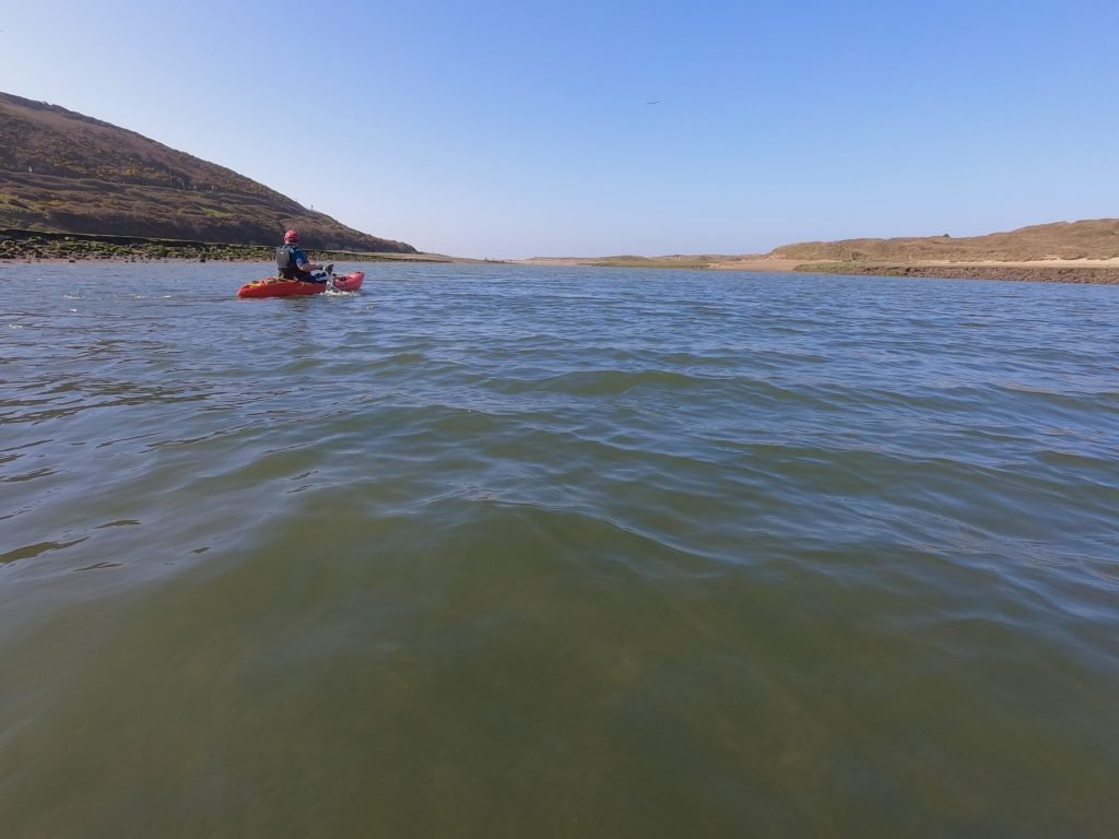
About 2 miles downstream from Ogmore Castle, we are to the mouth of the Ogmore River at Ogmore-by-Sea.
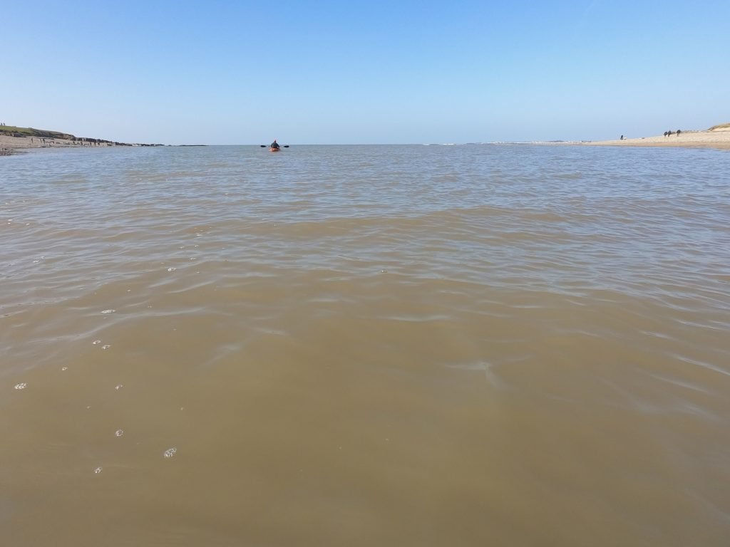
After the shelter of the river, the sea was a rougher and more open stretch of water to paddle on and the swell of the sea was noticeable as soon as left the mouth of the river.
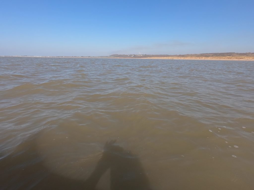
The long expanse of Newton Beach stretched away to the West as we paddled out of the estuary and onto the sea.
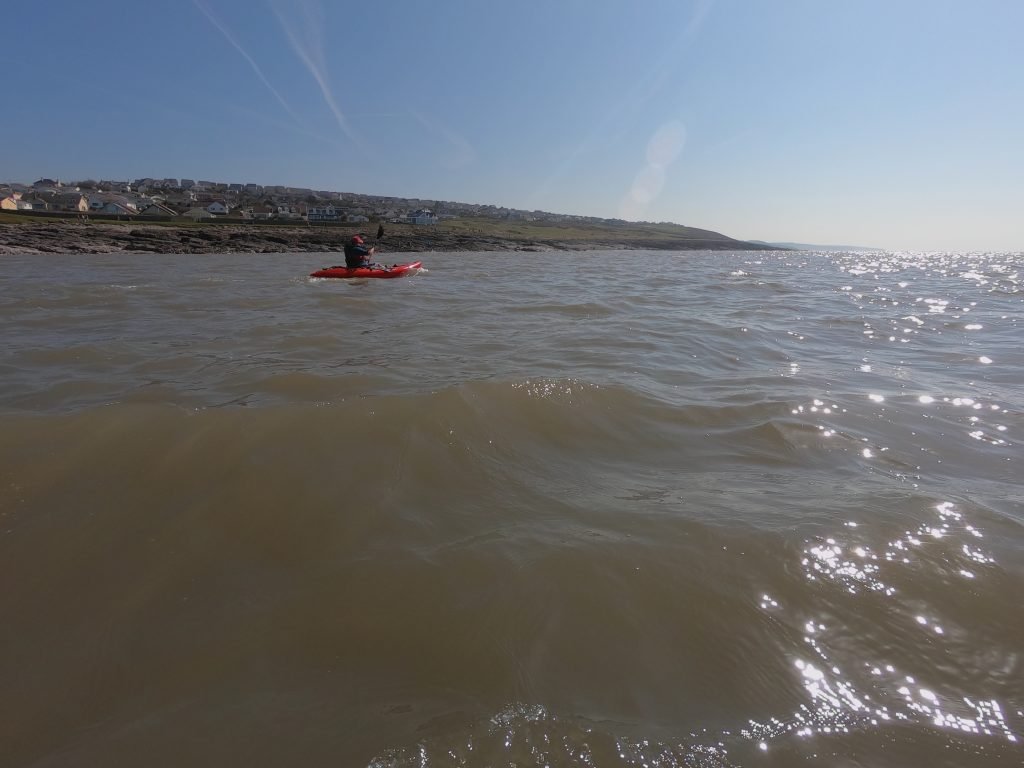
As we left the estuary and went out onto the sea we swung East passing Ogmore-by-Sea which sprawls along the bluffs to the East of the mouth of the estuary.
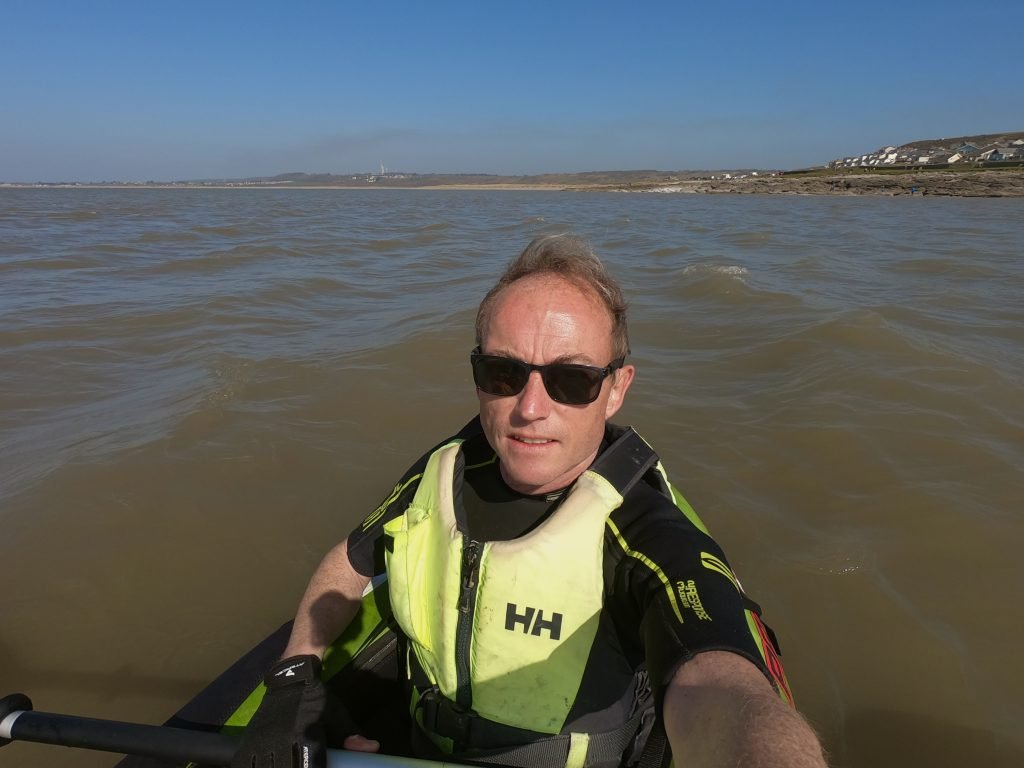
The Westerly wind helped as along as we paddled Eastwards along the coast towards Southerndown. Unfortunately though, it whipped up the sea a bit since it was blowing in the opposite direction to the outgoing tide which runs East to West on the South Wales coast when it’s going out.
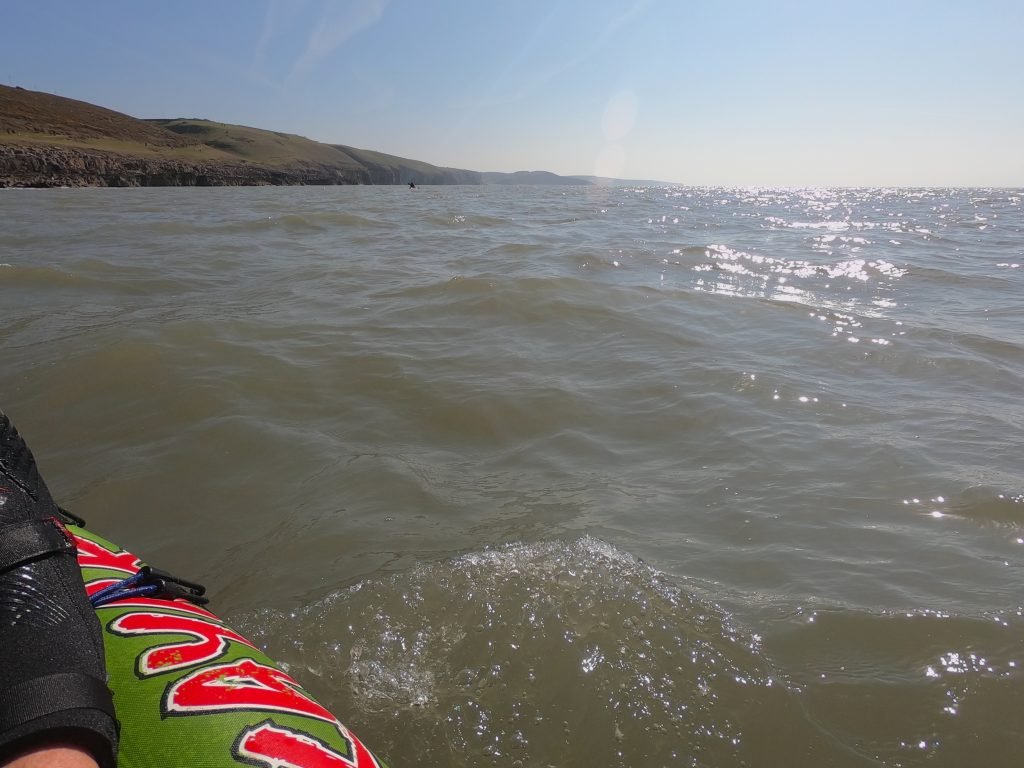
This section of coastline is typical of the Vale of Glamorgan Heritage Coast with towering cliffs interspersed with steep, narrow valleys.
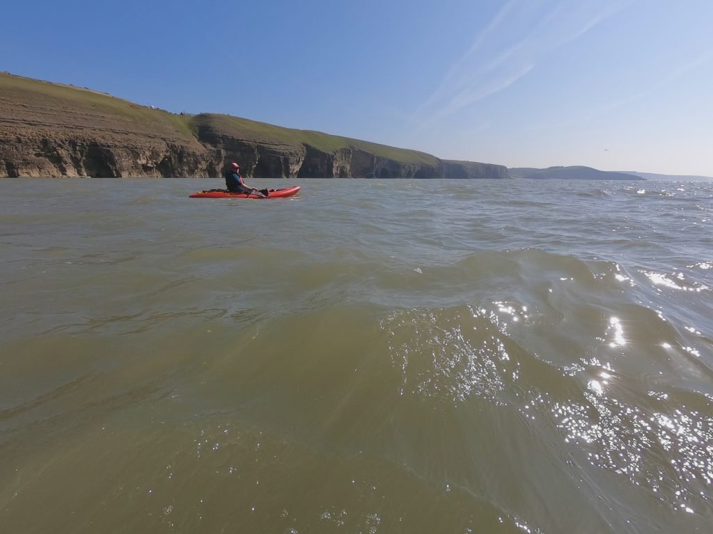
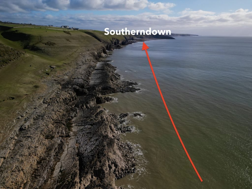
The coast between Ogmore-by-Sea and Southerndown has some stunning scenery, with the majestic cliffs being topped by ancient walled fields.
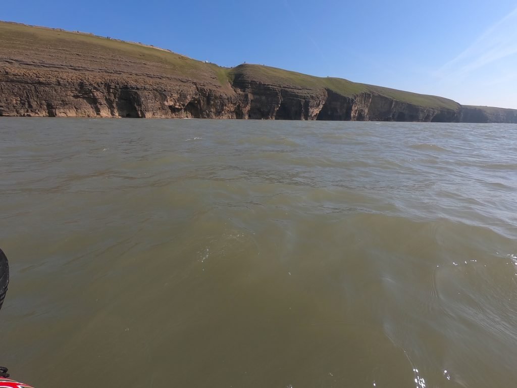
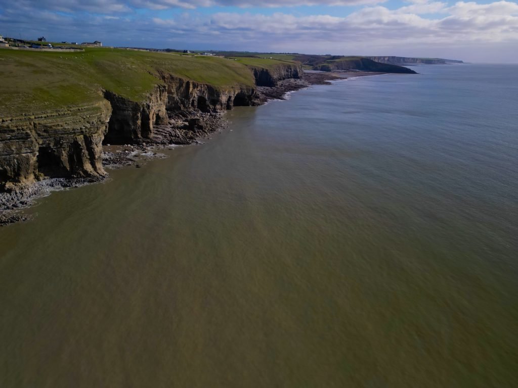
The beach at Southerndown loomed into view. Southerndown is a very popular beach and is busy all year round.
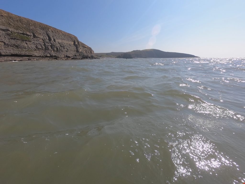
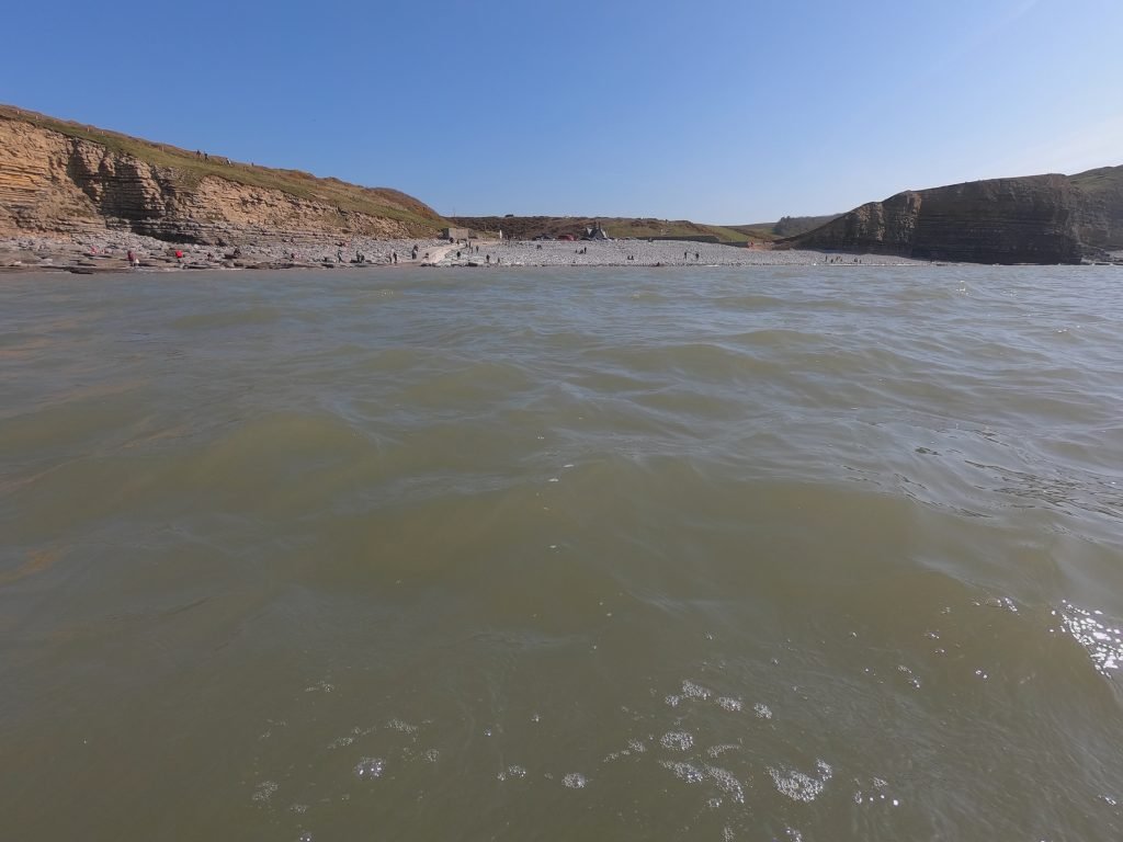
This was a great route that we really enjoyed, transitioning from the Ewenny River to the Ogmore Estuary and then out onto the Vale of Glamorgan coastline.
5. LOGISTICS
We left a car at either end of the route.
At Ogmore Castle, there is free parking just below the castle. The car park is a bit rough and it can get full at peak times.
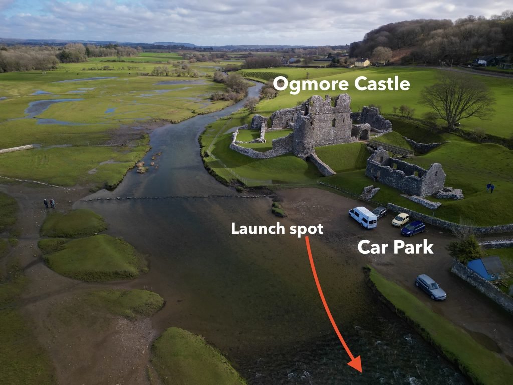
Also, make sure you do not park too close to the edge of the river because it is tidal up as far as the castle and you may otherwise come back to find you car inundated by the water! The water only raises up the car park a couple of feet or so on a high tide, but better safe than sorry!
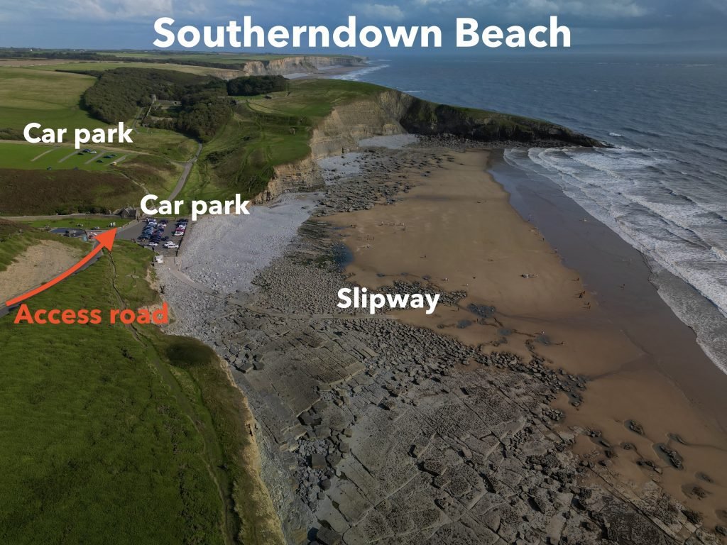
At Southerndown beach, there are in fact several car parks, the best one being the one right on the beach. All of the parking is paid. There are also toilets and snack bar.
If you only had one vehicle then you could use bus 303 which runs regularly between Southerndown (bus stop opposite the Three Golden Cups pub) and Ogmore Castle (bus stop just down from the Pelican Inn). The link to the timetable is below.
https://www.adventuretravel.cymru/bus-services/bridgend/303/
6. pubs & restaurants
The Three Golden Cups, Southerndown
The Three Golden Cups is up on the edge of Southerndown village above the beach.
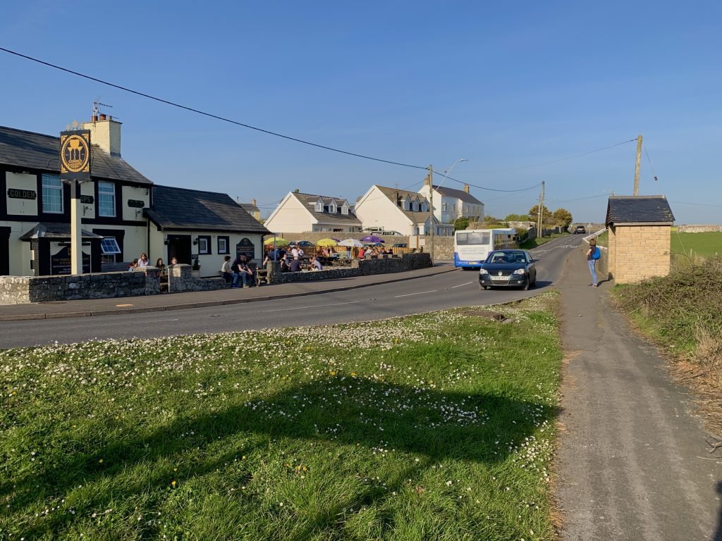
It’s a great pub with good food and nice beer garden out the front.
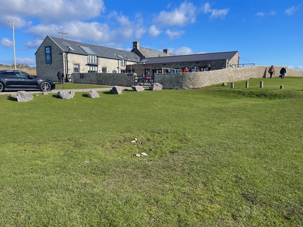
West Farm, Southerndown
The West Farm has a lovely setting being perched on the cliff tops on the East side of Southerndown village.
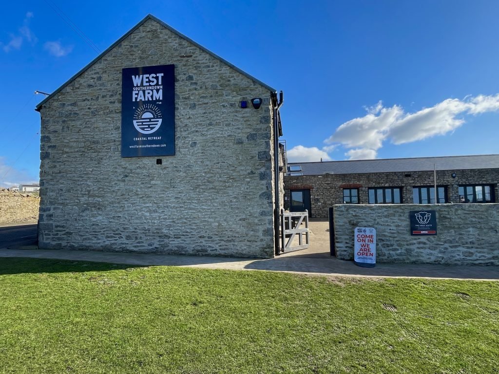
The West Farm has a lovely beer garden out the front with great views over the sea.
7. DANGERS & ISSUES
While this is a relatively safe route, we would highlight out the following issues.
Tide times
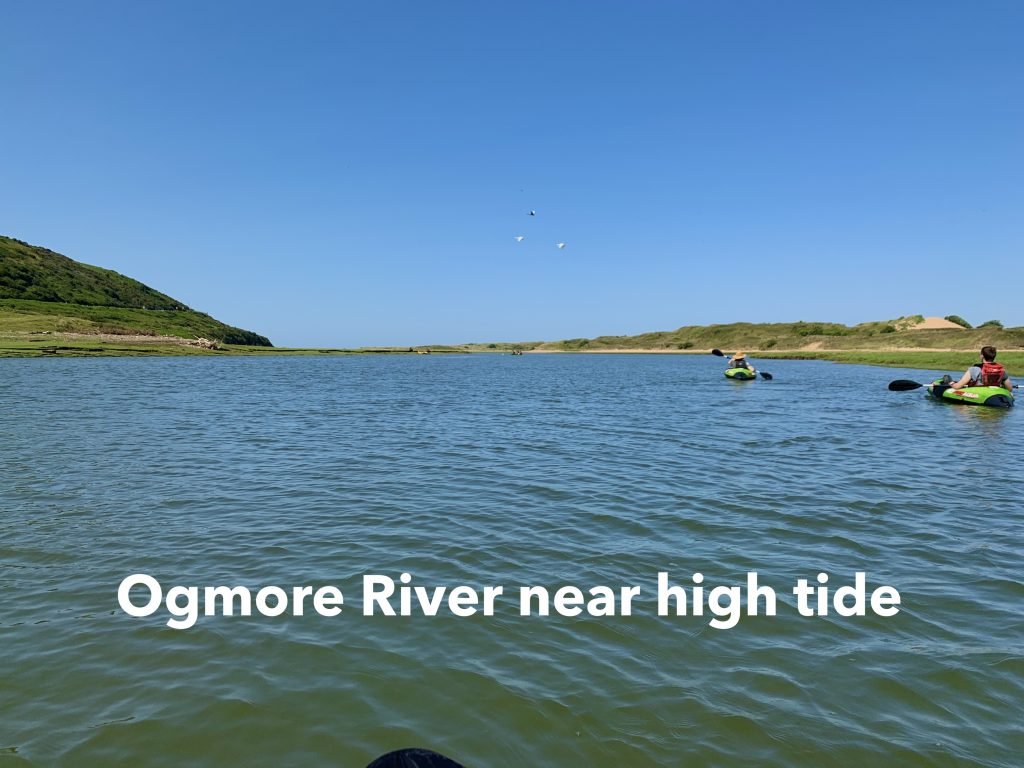
The Ewenny River is tidal roughly from our launch spot Ogmore Castle but not significantly so. When you join the Ogmore estuary, it becomes very tidal. Ideally, you should aim to launch about 45 minutes before high tide so that there will be sufficient water in the river and the tide will start to go out as you get onto the lower section of the Ogmore estuary.
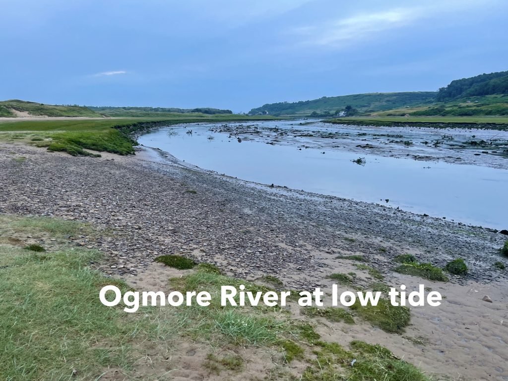
Towards low tide, the lower Ogmore River like many estuaries becomes very shallow with mud and sand banks becoming exposed, as you can see from the above photo. So, you ideally want to be paddling the estuary section of this route within 1.5 to 2 hours or so of high tide to make sure it’s deep enough. We have a blog post and and Youtube video which encompass a Guide to Estuary Kayaking.
As you can see from the below illustration, when the tide is coming in on the South Wales coast, it runs West to East. When it’s going out, it runs East to West. This stretch of the South Wales Coast is very tidal and at time it can run up to about 3 knots.
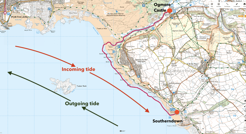
The issue with this route is that you need to launch from Ogmore Castle near high tide and come down the estuary with the outgoing tide which means when you get out onto the sea, you will be going against the tide for the remaining 2.5 miles or so between Ogmore-by-Sea and Southerndown.
If you have the wind with you from the West (as we did) then this is not so much of an issue. However, if you had the wind coming against you from the East, then when combined with having the tide against you, it would be quite hard going on this section on the sea, but should still be possible.
You would have the same issue in reverse if you did the same route but from Southerndown to Ogmore Castle since you’d then need to paddle against the incoming tide which would be running West to East on the coastal section of the route before turning up into the estuary, after which the incoming tide would of course be with you.
Sea Conditions
We always use www.surf-forecast.com to check and weather, tide times and sea conditions before any of our sea kayaks.
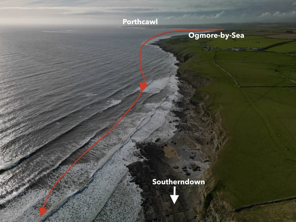
As you can see from the below drone footage taken on a later date when the sea was rougher, this section of sea can be rough especially when on the Eastern end of the route towards Southerndown when exposed to strong Westerly winds.
8. KAYAKS USED
We I did this paddle in April 2021 when I was still using my trusty old Pro Aqua inflatable kayak.
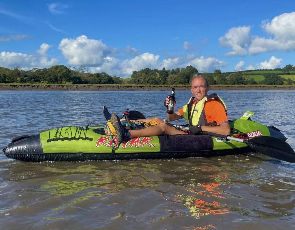
The Pro Aqua kayaks were sold by Clas Ohlson but they have been discontinued for a while we believe.
Archie used his Tootega Kinetic 100 Hydrolite hard shell sit on top kayak.
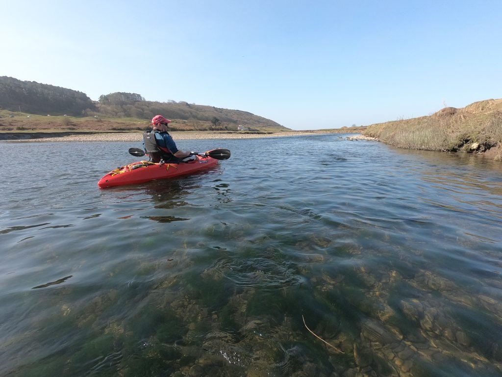
You can use pretty much any kayak on this route, but if the sea gets on the rough side then you’ll want something stable and reliable for the coastal section between Ogmore-by-Sea and Southerndown.
We have a blog post and a YouTube video covering a Guide to Buying an Inflatable Kayak which goes into detail about the different types of kayak which we feel are most suitable for different types of padding.
9. KAYAKING THE WALES COAST
This 4.5 miles paddle was part of our undertaking to kayaking all of the 870 miles or so around the entire Wales Coast.
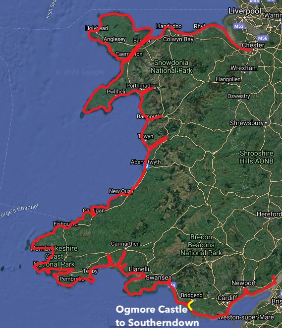
This is a huge undertaking and this adventure has taken us to parts of our coastline that we had never been to before.
We have a page on our website with blog posts of all of our Wales Coast paddles.
We also have a playlist on our Youtube channel with videos of all of our Wales Coast paddles.
10. SUMMARY
This is a great paddle which takes you through a variety of scenery from river to estuary to the open sea. In this regard, it was similar to the route we had previously done from Merthyr Mawr to Rest Bay at Porthcawl, which we did a blog post and a YouTube video of.
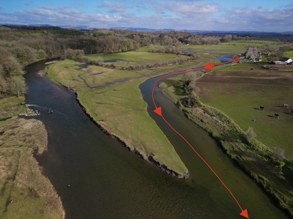
Launching right next to a 13th Century castle is always a bonus!
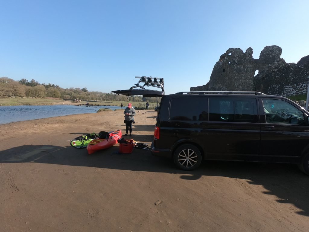
If starting at Ogmore Castle, then we’d recommend you launch about 30-45 minutes before high tide so that there will be sufficient water in the river.
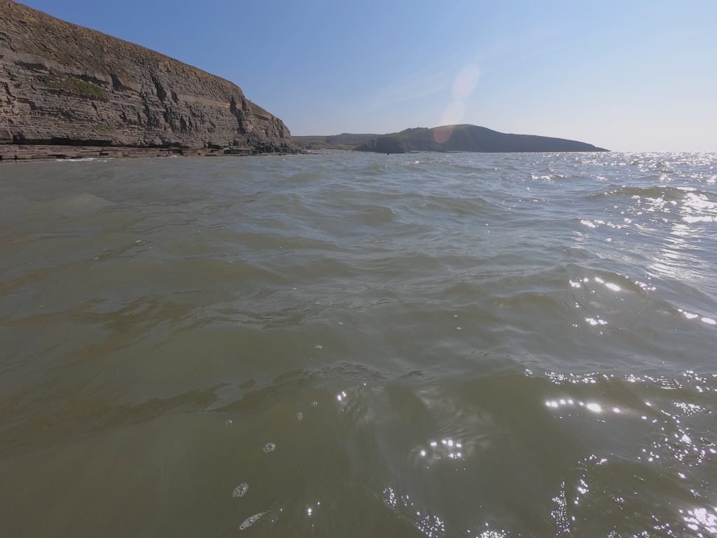
If starting at Southerndown, then we’d recommend you launch about 2 to 2.5 hours before high tide so that you should arrive at Ogmore Castle around high tide and before the tide starts to run back out down the estuary.
If you have any comments or questions about this route then let us know.