
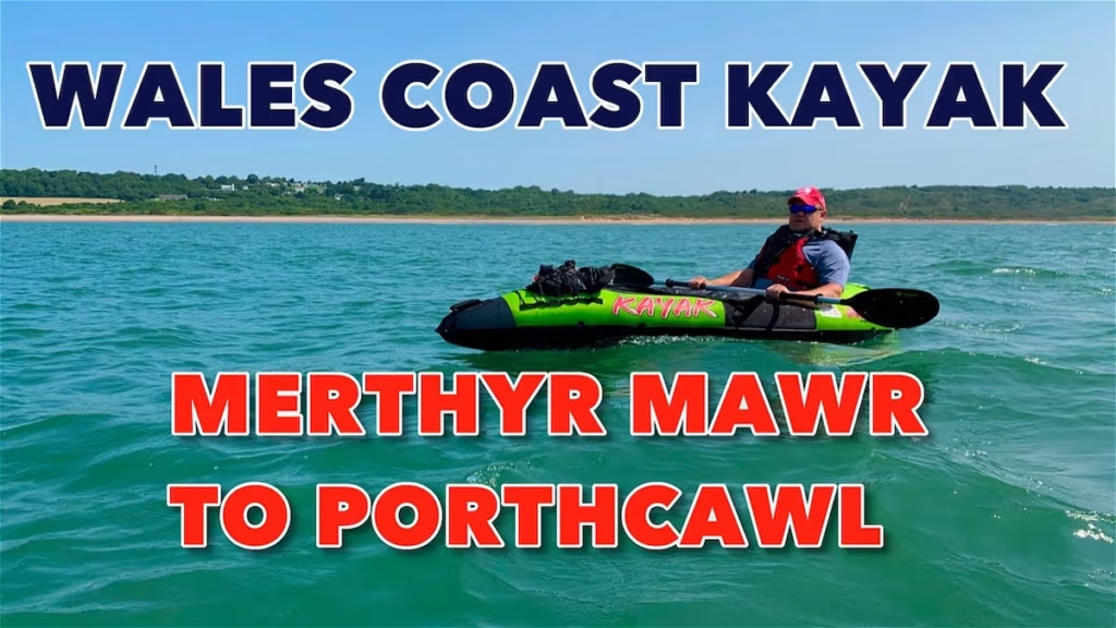
CONTENTS
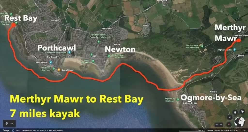
- Date, Distance & Map of the Route
- Tide Times & Weather
- The Merthyr Mawr to Rest Bay kayak
- Logistics
- Dangers & Issues
- Kayaks used
- Summary
1. DATE, DISTANCE & ROUTE MAP
24 June 2020
7 miles route.
Launched from Merthyr Mawr about 9:45am.
Landed at Rest Bay, Porthcawl about 12pm.
2 hours, 15 minutes paddling.
2. TIDE TIMES & WEATHER
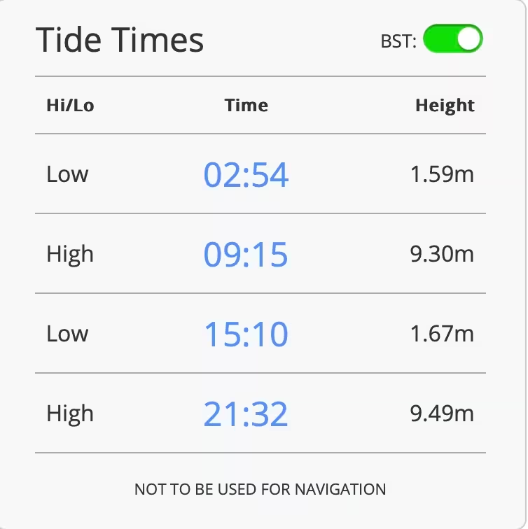
It was a hot day with a high of about 28 Celsius and light winds of about 7mph from the East.
3. THE MERTHYR MAWR TO REST BAY KAYAK
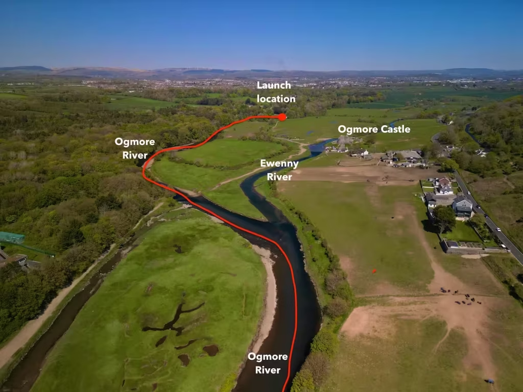
We launched from near the ‘Swing Bridge’ at Merthyr Mawr onto the Ogmore River at about 9:45am on an already warm June morning.
We had started early with a view to being on the river at high tide and then making use of the outgoing tide.
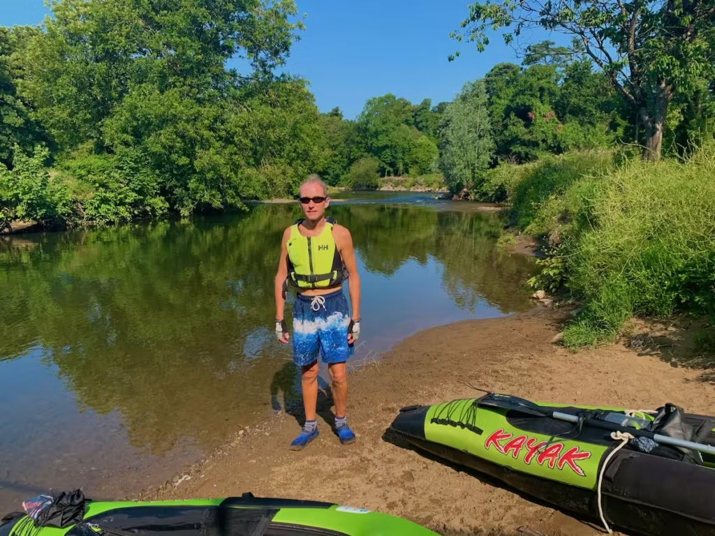
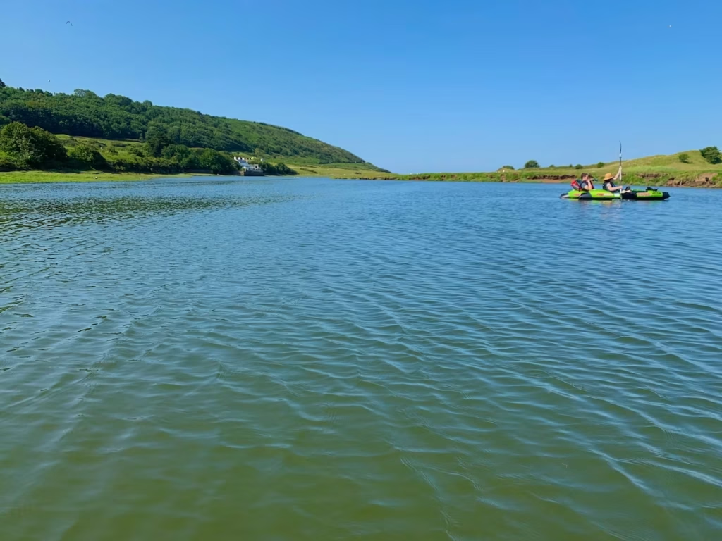
The first half a mile or so of the Ogmore river downstream from Merthyr Mawr was a pleasant, wooded section of river, which was easy paddling, although part of it were a little shallow.
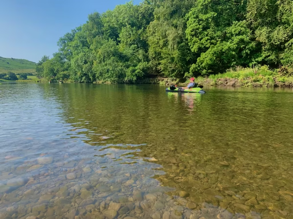
The river gradually widened and deepened into a wider, tidal section as we progressed downstream.
The Ogmore estuary comprises some rather unusual terrain since the river transitions fairly quickly from the wooded valley into the more open estuarine section which is flanked with rolling dunes and heathland.
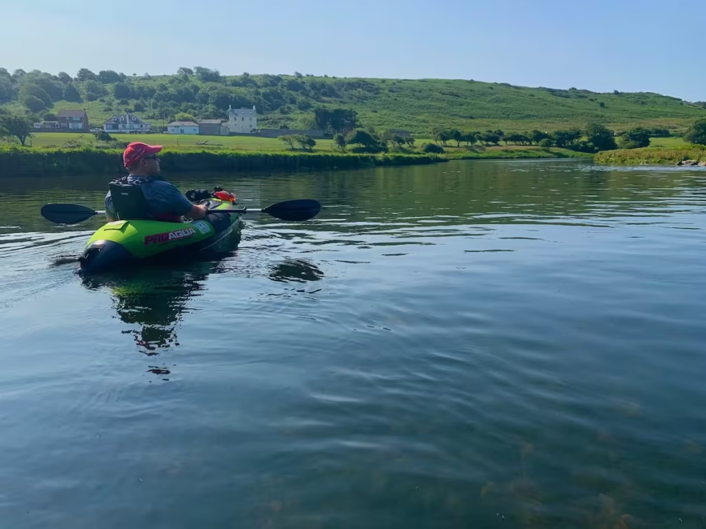
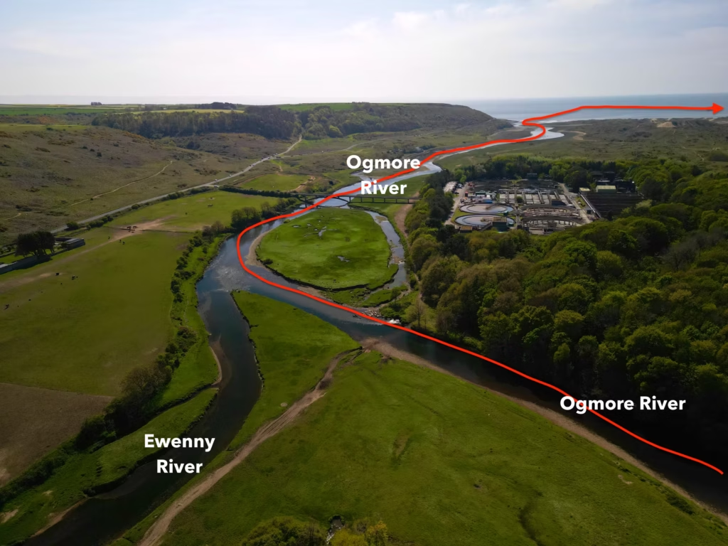
About half a mile down the stream from our launch spot at Merthyr Mawr, we neared the confluence of the Ogmore river and the Ewenny rivers.
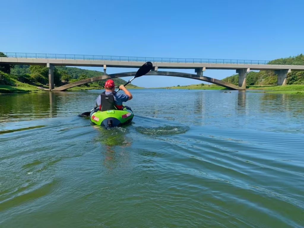
We passed under a road bridge which crosses the estuary as the river broadened out. The outgoing tide gave us even more assistance going downstream.
The tidal stretch of the lower Ogmore river is flanked on either side by rolling dunes in which comprise quite unusual and spectacular scenery.
We passed a lot of bird life on the estuary, including geese, ducks and even a group of swans which included a black swan.
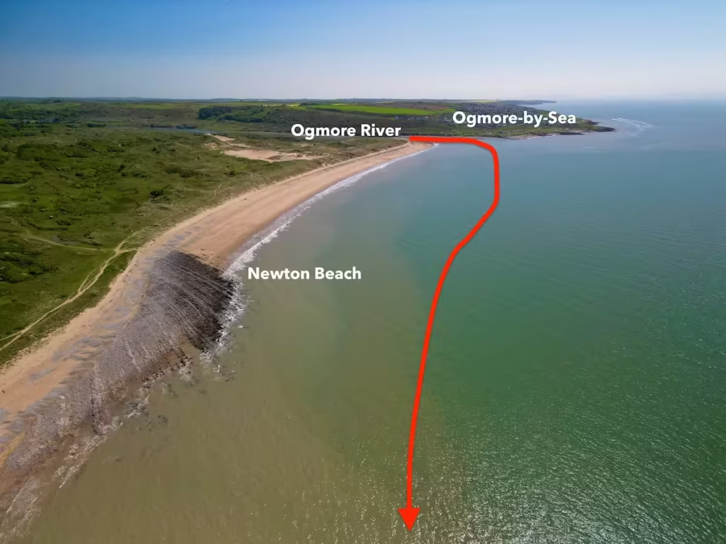
About 2.5 miles downstream from the start, we paddled out of the mouth of the Ogmore and onto the sea. Ogmore-by-Sea was off to our left on the East bank. There was now about 4.5 miles paddling on the sea to Rest Bay to the West.
It was a rather surreal moment as we looked across the West to see surfers riding the waves off of Newton beach.
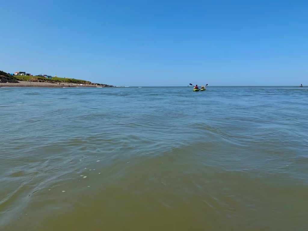
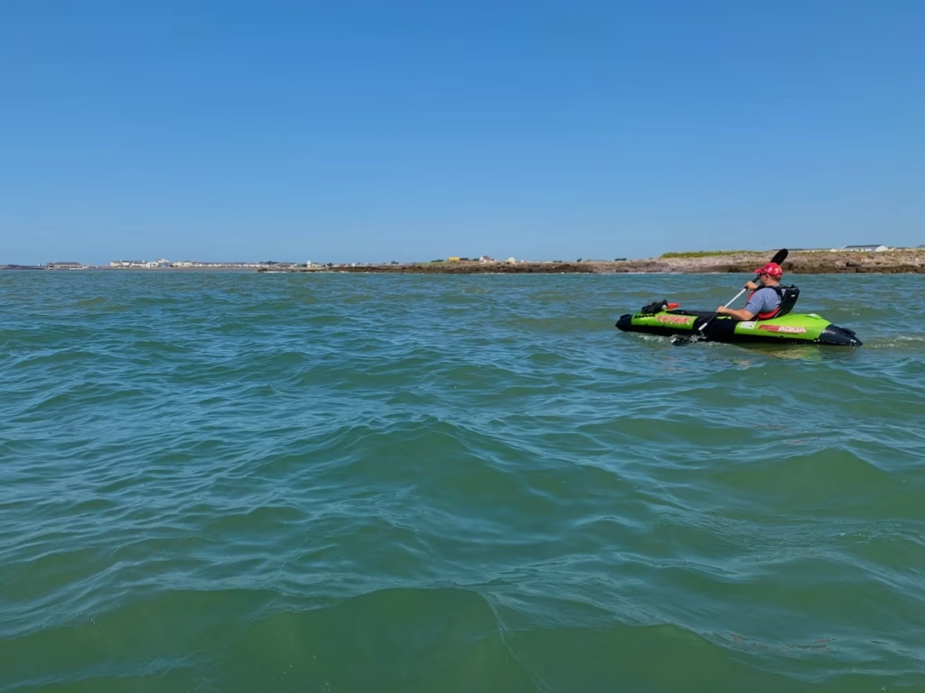
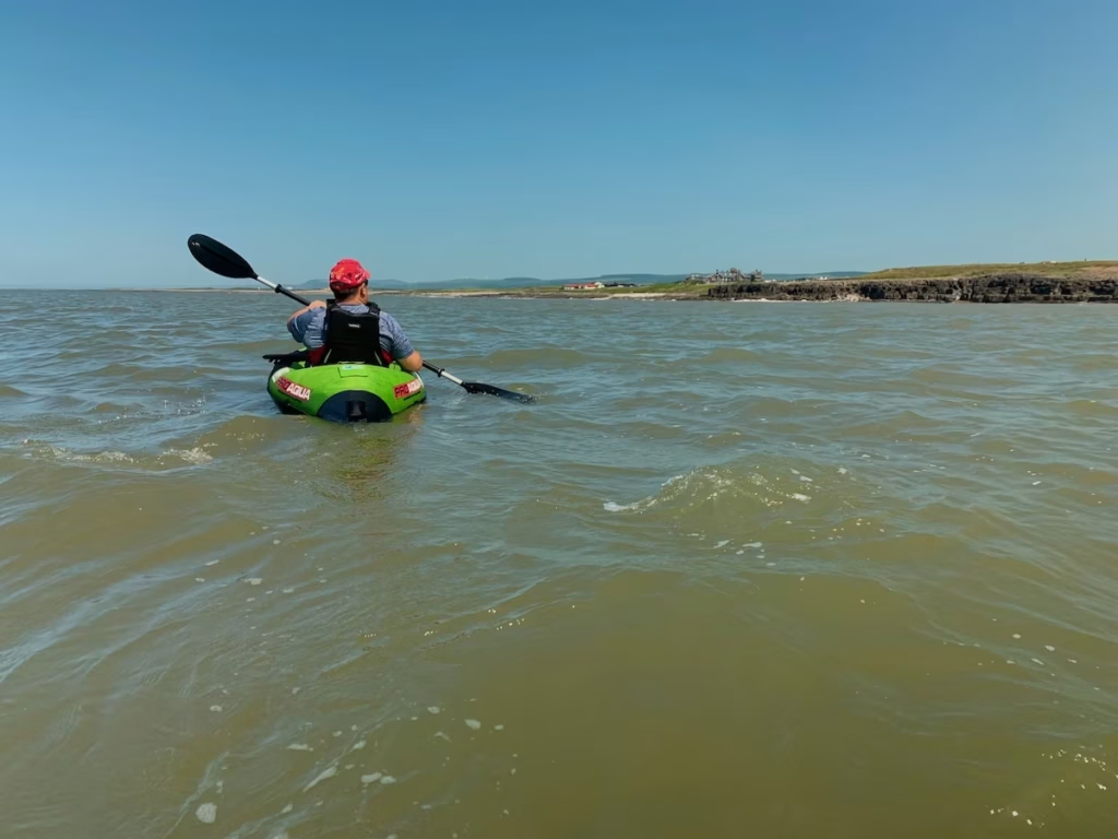
After the shelter of the river, the sea was a rougher and more open stretch of water to paddle on and the swell of the sea was noticeable as soon as left the mouth of the river.
We swung West and started paddling across the long stretch of Newton Beach.
Newton Beach has as a backdrop a huge dune system called Merthyr Mawr which has the tallest sand dune in Wales known as the Big Dipper.
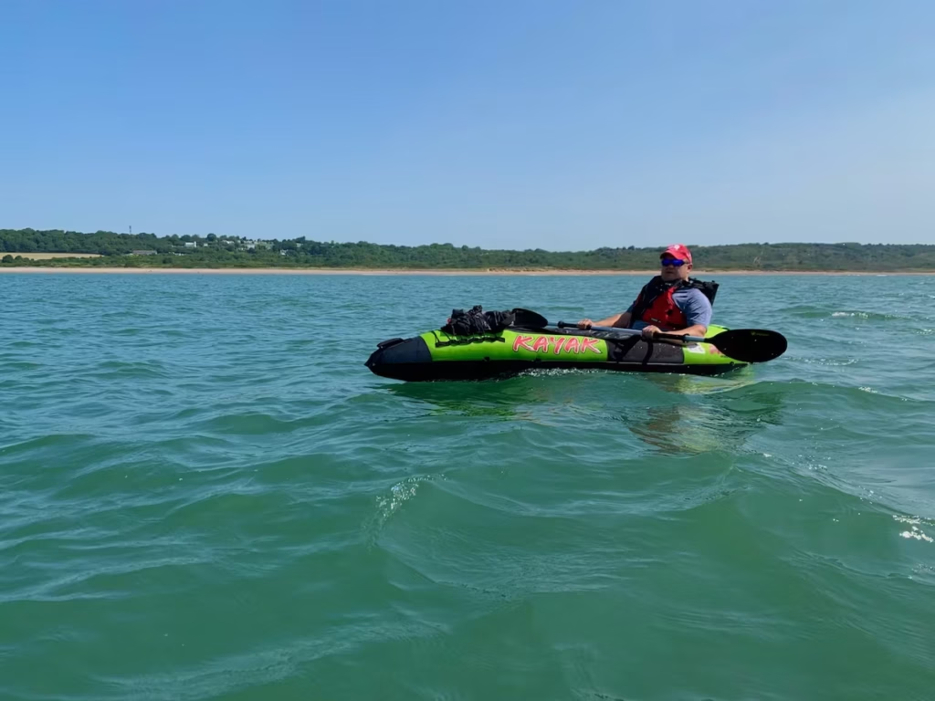
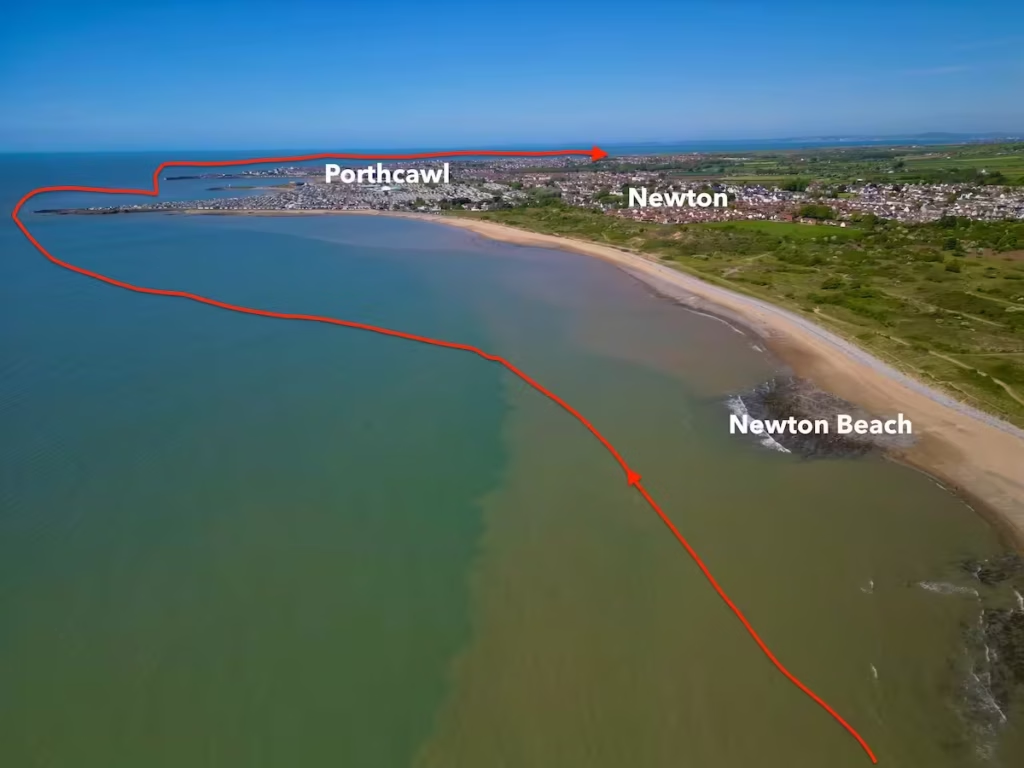
We passed the village of Newton which developed as a Normal settlement around St John’s Church which was built in the 1180’s. In the middle ages Newton developed as a port but declined after the opening of a new harbour at Porthcawl in 1825.
We rounded Newton Point which is a rocky outcrop on the West side of Newton Beach and paddled past Trecco Bay, a sandy beach on the East side of Porthcawl which is backed by a large holiday park.
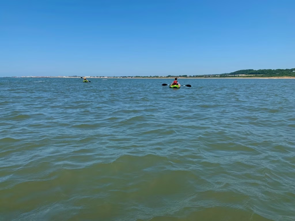
The historic harbour at Porthcawl with its old Lighthouse, Watchtower and Lifeboat Station used to be a busy exporting port and fishing harbour before the huge docks at Cardiff, Barry, Port Talbot and Swansea eclipsed them in size and capabilities.
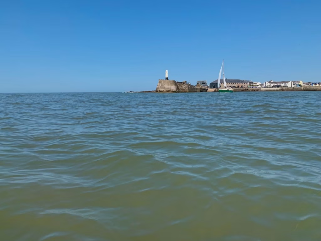
As we rounded Porthcawl Point on the West side of Porthcawl Harbour, the sea became noticeably rougher. Not so much as to worry us, but the sea on the Western side of Porthcawl is a lot more exposed to Westerly winds and swells than the more sheltered bays to the East of Porthcawl.
I had been to Porthcawl many times in the past because its fairly local to me but I’d never seen it from the sea before. I know I’ve said this countless times in the past but everywhere has a total different perspective when viewed from the sea.
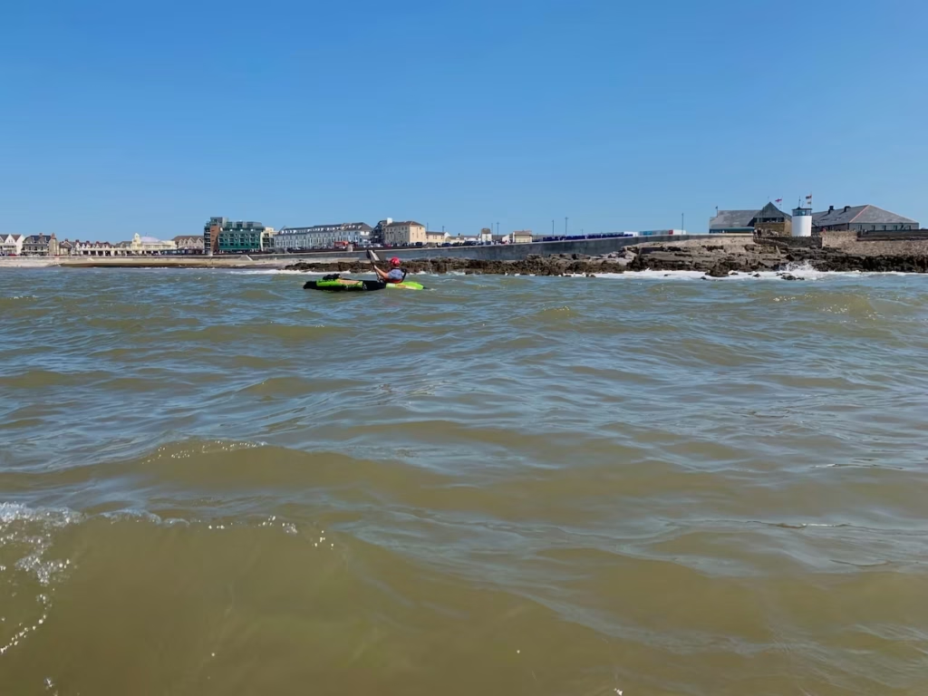
There is no beach as such at Porthcawl itself but the local authority have built a concrete terrace with steps down into the sea there.
We rounded the rocky promontory known as Irongate Point on the West side of Porthcawl and paddled along a mostly rocky section of coast before rounding another headland called Hutchwns Point.
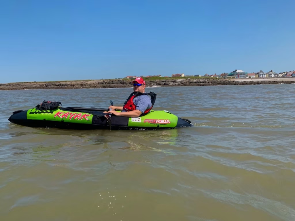
An expansive vista opened up to the West of us towards Swansea Bay. We could see Rest Bay to the West of us in the distance.
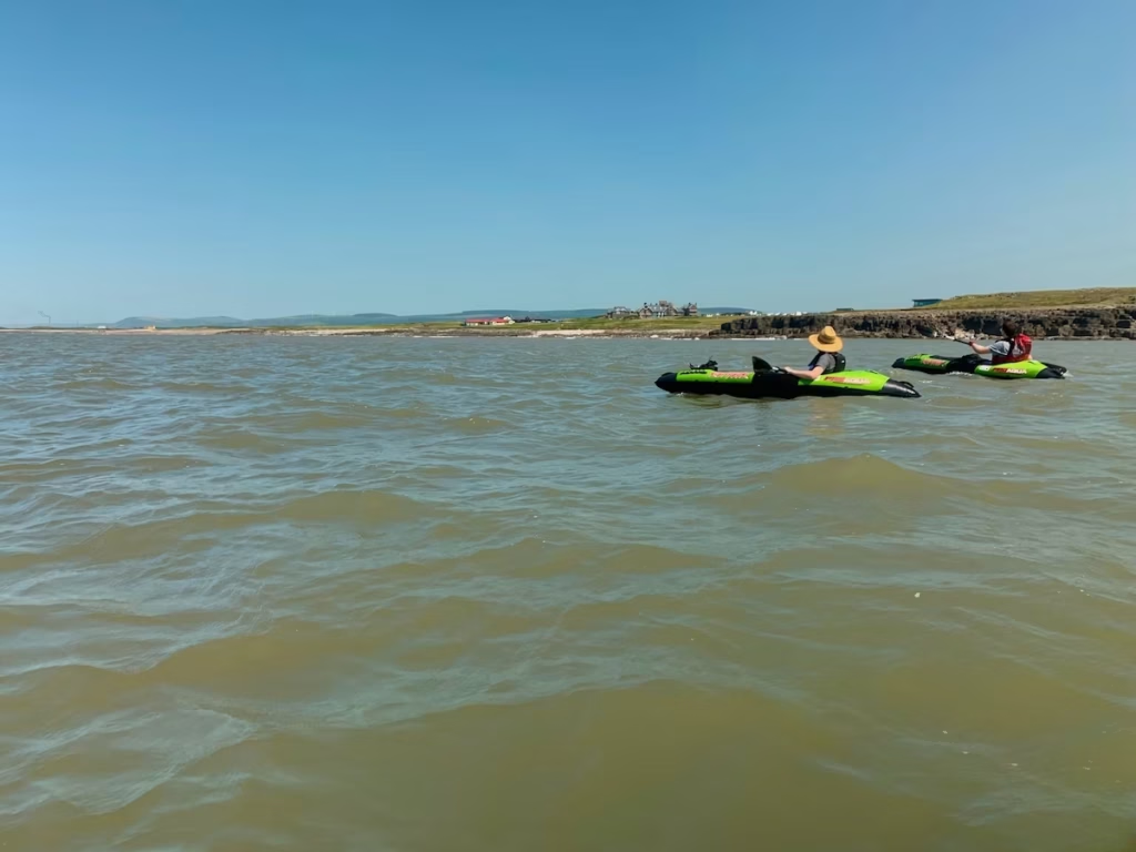
This stretch of coast at Rest Bay to the West of Porthcawl is Westerly facing so is generally quite rough and is popular with surfers and kite surfers.
The guys went in ahead of me and as they were landing on the beach, I saw Ethan’s kayak tipping over in the surf. I made sure that I’d tethered everything down to my kayak and that my dry bags were properly closed before heading in after them.
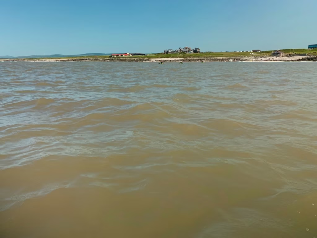
We landed at Rest Bay, Porthcawl at 14:00 after a great tide assisted river and coast paddle.
4. LOGISTICS
Merthyr Mawr
There is free parking next to the Swing Bridge at Merthyr Mawr.
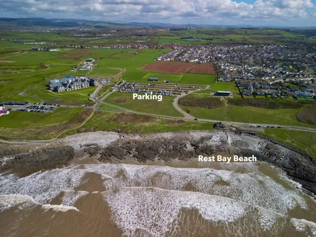
Rest Bay
Rest Bay has a quite large pay and and display car park just up from the beach.
Transport
We left a vehicle either end of the route when we did this paddle so that we could get back to Merthyr Mawr at the end.
There do not appear to be any bus services which run to Rest Bay or to Merthyr Mawr.
If you only had one car, then your best only option would be to use a taxi to get between Rest Bay and Merthyr Mawr. Porthcawl is a sizeable town with number of taxi firms.
5. DANGERS & ISSUES
This is a relatively safe route but I would flag up the below issues.
Tides
The Ogmore River is tidal not far downstream from our launch spot at Merthyr Mawr. Ideally, you should aim to launch about 30 minutes before high tide so that there will be sufficient water in the river and the tide will start to go out as you get onto the lower section of the estuary.
2 hours or so either side of low tide, the lower Ogmore River like many estuaries becomes very shallow with mud and sand banks becoming exposed, so you really want to be finishing the Ogmore River section of this route up to 2-3 hours or so after high tide.
When the tide is coming in on the South Wales coast, it runs West to East. When it’s going out, it runs East to West. This stretch of the South Wales Coast is very tidal, so you want to be paddling in the same direction as the tide.
Sea conditions
We always use www.surf-forecast.com linked below to check and weather, tide times and sea conditions before any of our sea kayaks.
The sea is generally more sheltered in the section of this route East of Porthcawl due to the shape of the coastline. It tends to be rougher and more exposed West of Porthcawl, especially as you get towards Rest Bay.
6. KAYAKS USED
I did this paddle in September 2020 when all of the Kayak Crew were still using Pro Aqua inflatable kayaks.
The Pro Aqua kayaks were sold by Clas Ohlson but they have been discontinued for a while we believe.
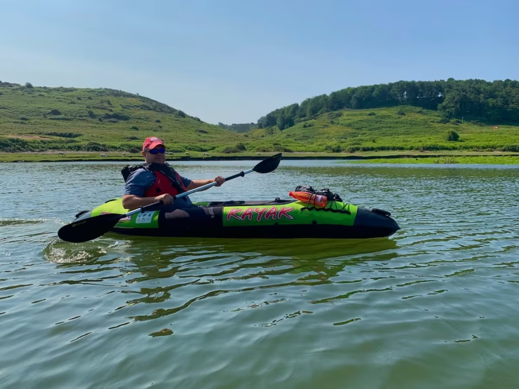
We have since progressed to hybrid kayaks with drop stitch floors but tubular PVC sides and also to full drop stitch inflatable kayaks. Check out my Guide to Buying an Inflatable Kayak post on my Kayaking Guides page of my website.
7. SUMMARY
This is a great paddle which takes you through a variety of scenery from river to estuary to the open sea.
If going from Merthyr Mawr downstream the river and then West to Rest Bay, then start just before high tide and use the outgoing tide.
You could do it in reverse and start at Rest Bay and come up the Ogmore River with the tide, in which case you need to get to end at Merthyr Mawr just before high tide.
If you have any comments or questions about this route then let us know!
The link to our Youtube video of this route is below.
If you are thinking of doing this route then you can download a pdf containing a summary of this route below with practical information and maps.
Happy paddling from the Kayak Crew.