
CONTENTS
- Date, Distance & Route Map
- Tide Times & Weather
- The Wisemans Bridge to Pendine kayak
- Logistics
- Dangers & Issues
- Kayaks used
- Summary
1. DATE, DISTANCE & ROUTE MAP
30 August 2020.
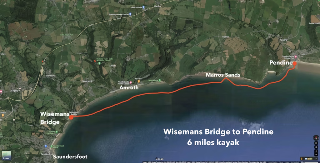
6 miles route.
Launched from Wiseman’s Bridge at 15:15. Landed at Pendine at 18:00. 2 hours 30 minutes paddling and 30 minutes lunch stop at Marros Sands.
2. TIDE TIMES & WEATHER
The nearest location which tidetime.org has tides for is Tenby. The tides on this route were only 5 minutes or so later than at Tenby.
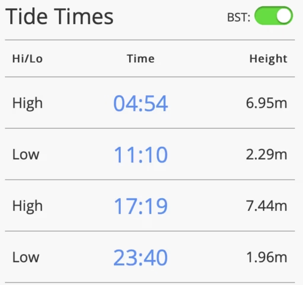
It was a hot day with a high of about 17 Celsius and offshore winds from the North East of about 9mph.
3. THE WISEMANS BRIDGE TO PENDINE KAYAK
We launched from the beach at Wiseman’s Bridge at about 12:15pm on a warm late August day.
We headed Eastwards from Wisemans Bridge on a calm, aquamarine sea.
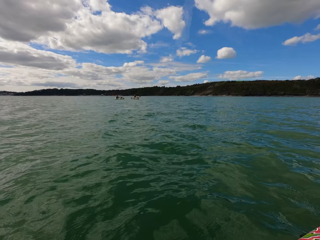
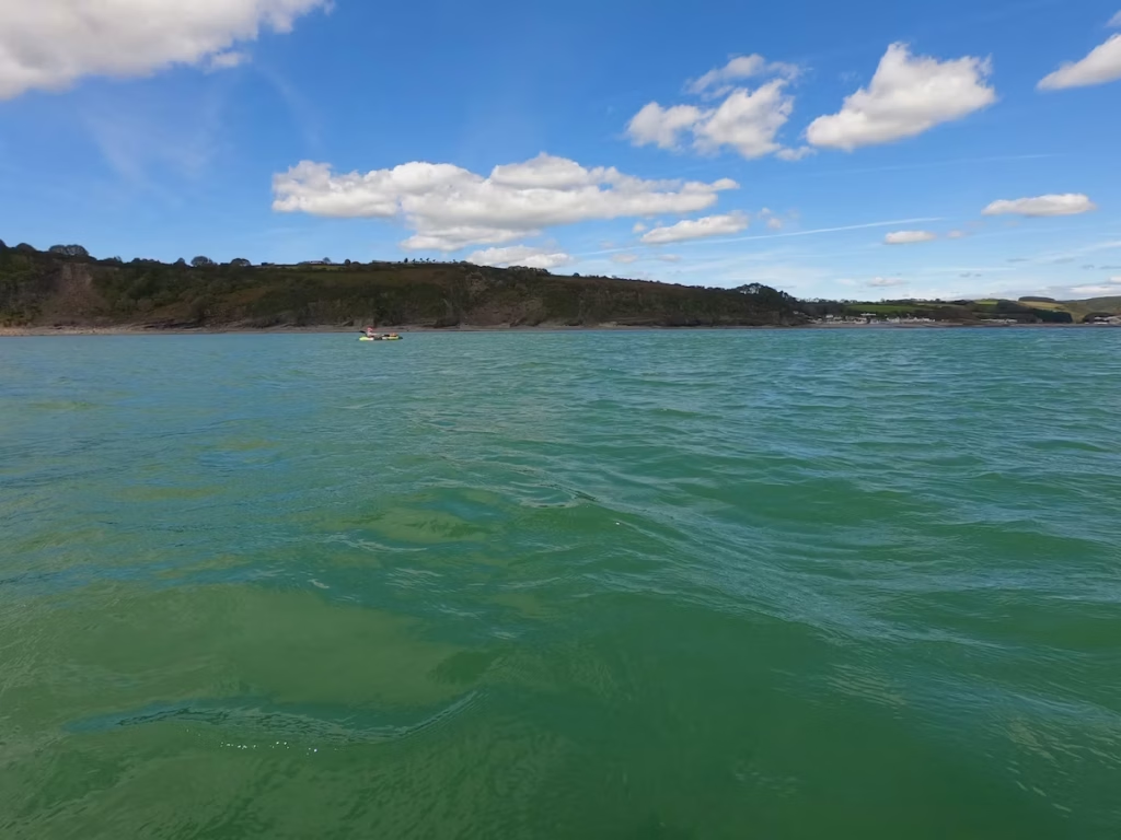
We were quite soon passing the nice seaside village of Amroth, the Easternmost village on the Pembrokeshire Coast.
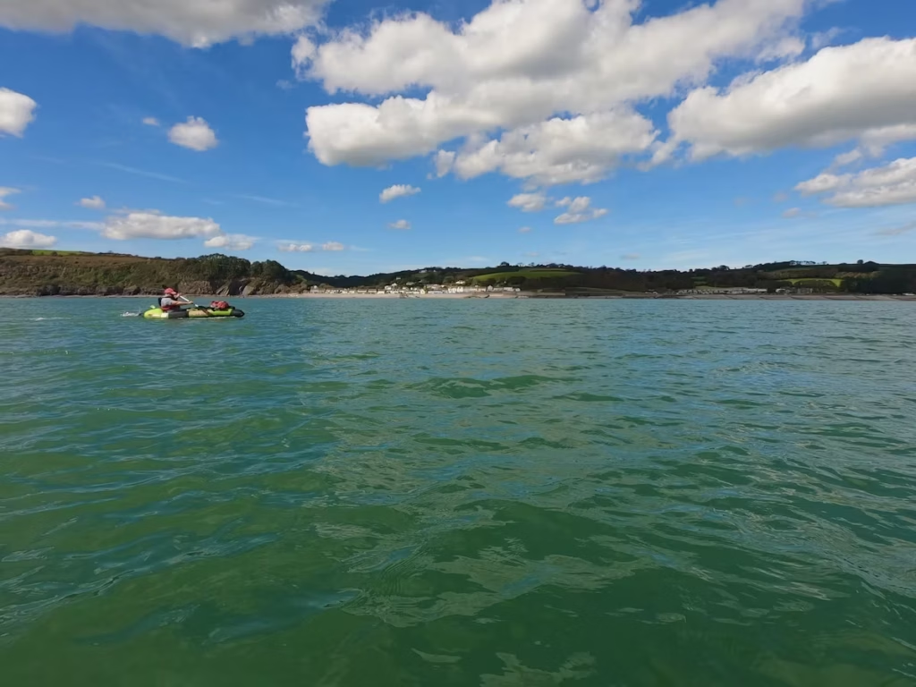
Amroth is quite busy in the tourist season (like most of the villages and on the Pembrokeshire Coast) and has a couple of nice pubs.
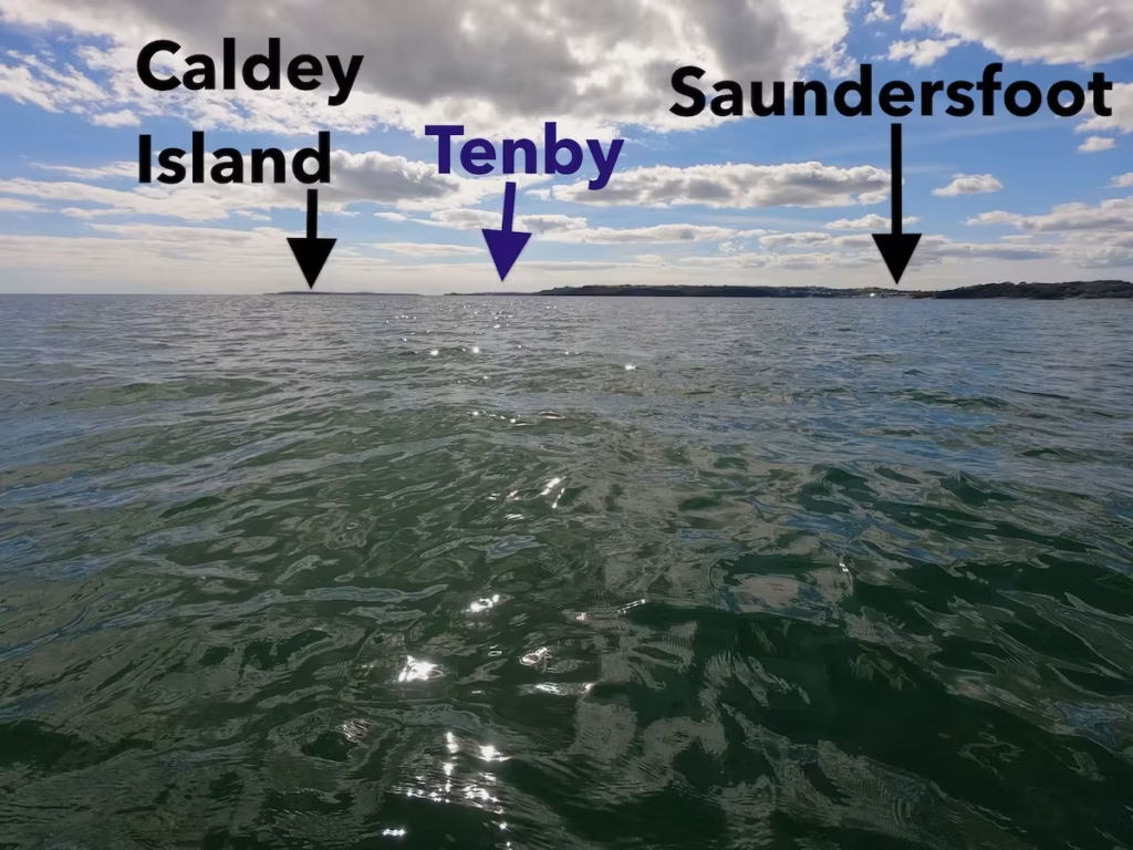
Looking back Weststwards, we could see Caldey island and the buildings of Tenby silhouetted on the horizon. The buildings of Saundersfoot and Wisemans Bridge also gleamed in the afternoon sun.
East of Amroth, Telpyn Point jutted out and then a long stretch of hilly coastline rolled away Eastwards towards Carmarthen Bay. Telpyn Point marks where the county boundary where we crossed over from Pembrokeshire into Carmarthenshire waters!
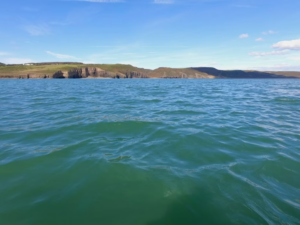
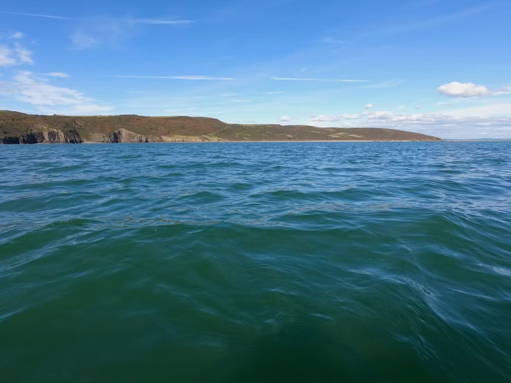
We decided to go in for a lunch break and more importantly a ‘cider stop’ on a long stretch of beach known as Marrow Sands about two thirds of the way along the route.
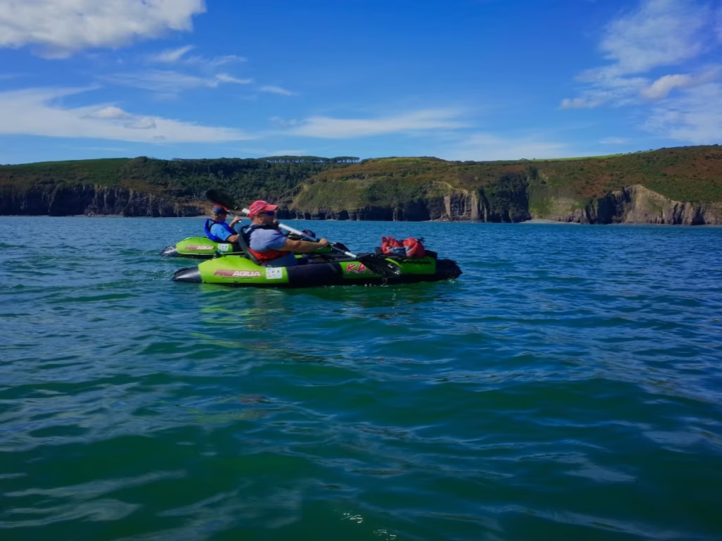
We landed at Marros Sands at about 16:30 for a pit stop.
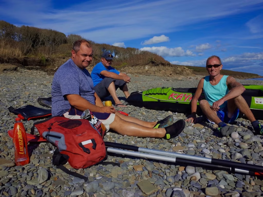
Despite the name, there was a distinct lack of sand, since near high tide only the pebble upper section of Marros Sands is exposed.
Feeling refreshed after our break, we set off again towards Pendine for the ‘final push’.
We rounded Ragwen Point at the Western end of Marros Sands and came upon the secluded cove of Morfa Bychan, a gorgeous sandy bay sandwiched between 2 bluffs.
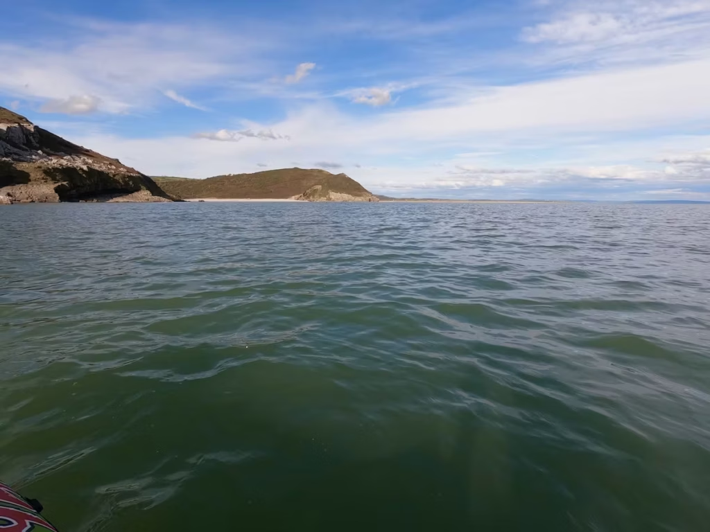
As we rounded the headland, Pendine and the huge expanse of Pendine Sands came into view. Pendine Sands runs for almost 5 miles before it curls round into the Taf estuary. It was used in the 1920s and 1930’s for World Land Speed Record attempts.
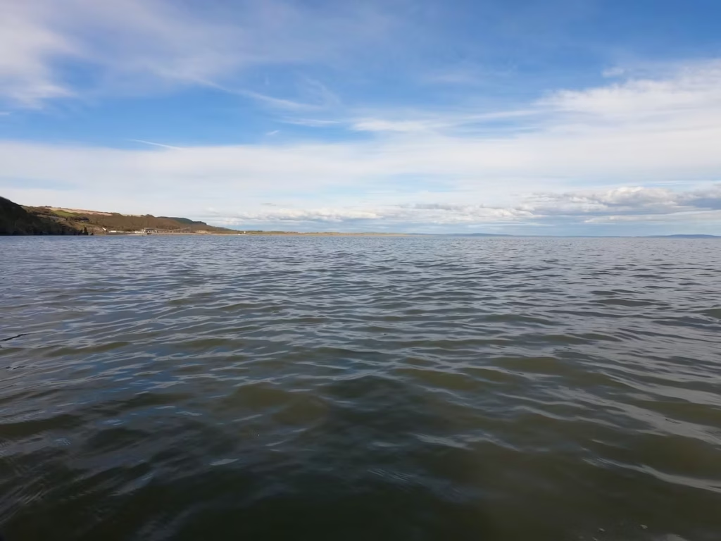
We paddled the last few hundred meters to the beach at Pendine before landing at about 18:00 near to the slipway which is convenient for getting your kayaks up off the beach.
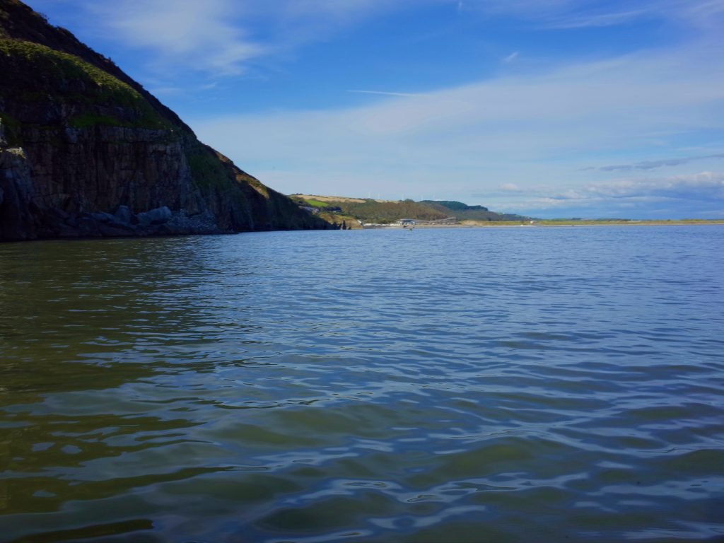
What a great kayak which had taken us from the beaches of South Pembrokeshire, past some stunning scenery and on to the more estuarine waters of Carmarthen Bay.
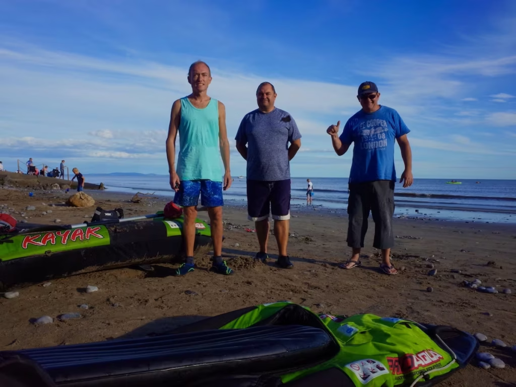
4. LOGISTICS
Wiseman’s Bridge Logistics
We left one car at the start of the route in Wisemans Bridge, luckily being able to park in the parking bays along the beachfront. There is also a parking area just off the beachfront road.
We launched off the beach just below the Wiseman’s Bridge Inn.
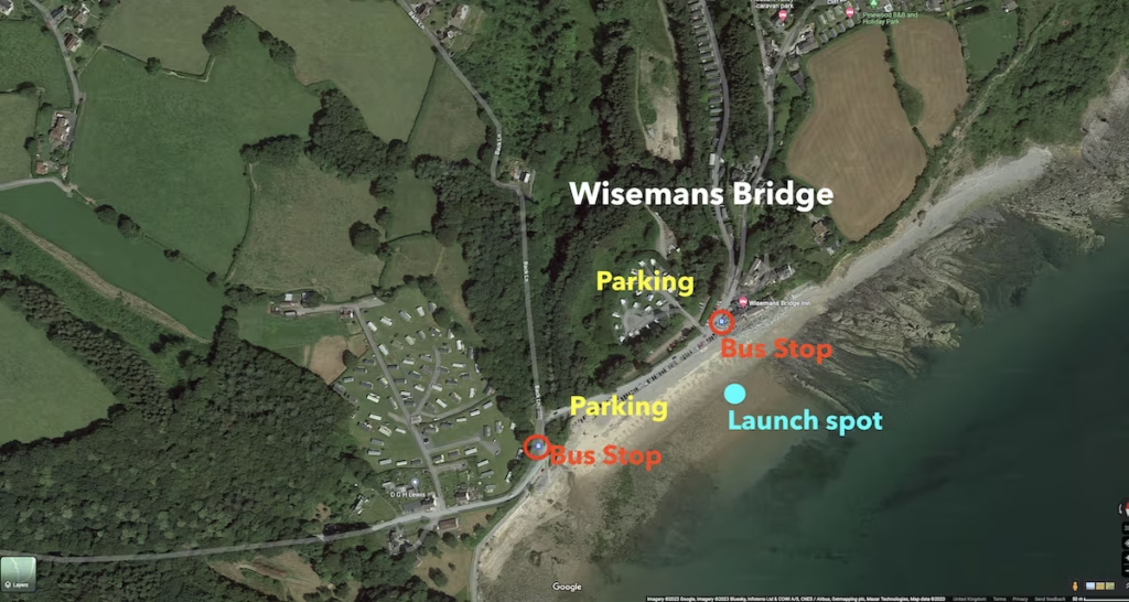
There are 2 bus stops on the beachfront road at Wisemans Bridge which the 351 bus stops at. If you only had one car, you could get the 351 bus which connects Wisemans Bridge with Pendine.
Pendine Logistics
We left another car at the end of the route in Pendine, parking at Pendine Car Park which is a pay and display car park near to the beach.
We landed near to one of the 2 slipways which are handy for accessing the leaving the beach if you have kayaks.
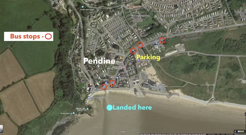
The bus 351 stops at several bus stops in Pendine near to the beach if you wanted to use that to get back to the Wisemans Bridge.
5. DANGERS & ISSUES
We did not notice any dangerous points along this route which is a relatively safe and straightforward one but we’d point out the following..
Tides
We always use Tidetimes.org to check the tide times before go kayak a coastal or estuarine route. We suggest you use the Tenby tide times for this route.
Note that stretch of coast at Pendine is more tidal and ‘semi-estuarine’ than the coastline around Wisemans Bridge. This means that if you land or launch at Pendine more than say 3 hours before/after high tide then you may have quite a walk from the water’s edge to the top of the beach.
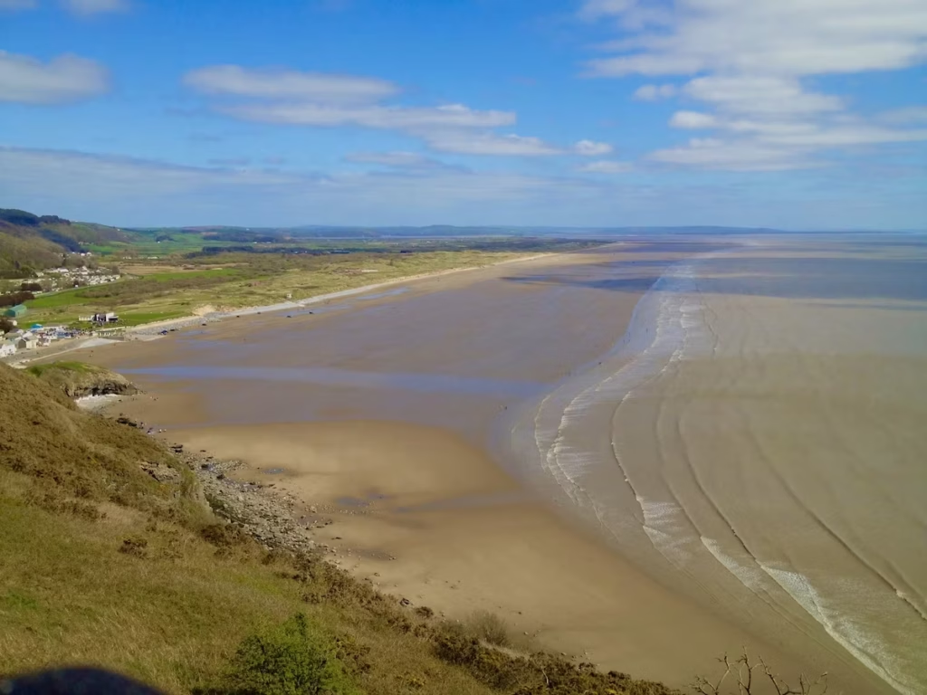
The tides runs from East to West when going out and from West to East when coming in on this section of coast, as with almost all of the South Wales coastline.
We have included the Caldey Sound tidal race, Pendine Firing Range and also the estuaries of Carmarthen Bay on the above map but they do not directly affect the Wisemans Bridge to Pendine route.
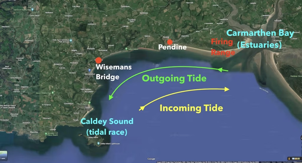
The tide does make a big difference on this route and we’d recommend going with the tide, whether you go from Pendine to Wisemans Bridge or vice versa. You could go against the tide but it would be a lot slower going, especially on the Eastern section of the route towards Pendine.
Sea Conditions
We always use surf-forecast.com to check and weather, tide times and sea conditions before any of our sea kayaks.
This is a relatively sheltered section of the coast but you should always check weather and sea swell conditions before you go.
6. KAYAKS USED
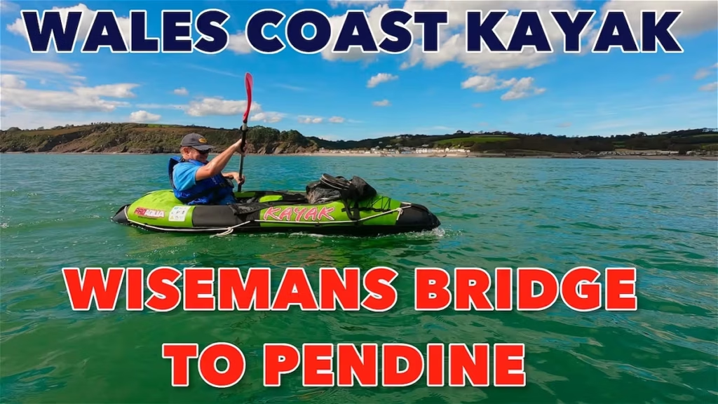
I did this paddle in September 2020 when all of the Kayak Crew were still using Pro Aqua inflatable kayaks.
The Pro Aqua kayaks were sold by Clas Ohlson but they have been discontinued for a while we believe.
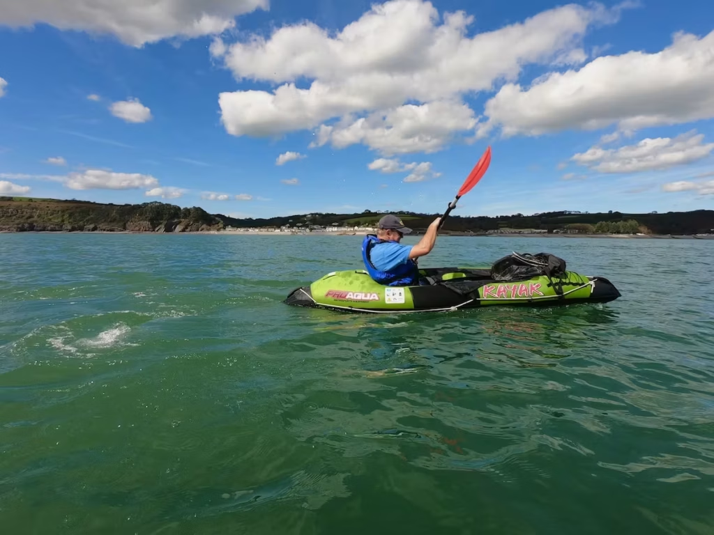
The Kayak Crew have since progressed to hybrid kayaks with drop stitch floors but tubular PVC sides and also to full drop stitch inflatable kayaks.Check out my Guide to Buying an Inflatable kayak post on my Kayaking Guides page.
7. SUMMARY
We really enjoyed this 6 miles route which took us from the from the beaches of South Pembrokeshire to the more estuarine waters of Carmarthen Bay. Along the way, we passed the pretty seaside village of Amroth and the rolling bluffs of the Carmarthenshire coast.
If you wanted a slightly longer route then you could start at Saundersfoot instead which would add about a mile or so to make it a 7 miles route. Alternatively, you could paddle it as a 12 miles circular route around the tide times.
Below is the link the video of this trip on our Youtube channel.
If you are interested in paddling this route then we suggest you download our pdf guide to this route below, including useful maps and logistics.
Happy paddling from the Kayak Crew.